2010s Maps of McDowell County, North Carolina
Explore 60 historic maps of McDowell County from the 2010s. These maps offer a rare glimpse into what life looked like during the 2010s — showing old roads, neighborhoods, homes, and landmarks that have changed or disappeared over time.
Whether you're researching your family's past, planning a metal detecting trip, or studying how McDowell County's landscape evolved across the 2010s, these high-resolution maps are a powerful tool for exploring the history of this region.
- Focus on a specific era: All maps on this page are from the 2010s, giving you a focused view of this time period.
- See what’s changed: Compare century-old streets, trails, and buildings to today's modern landscape using overlays and satellite layers.
- Research with precision: Use these maps for genealogy, historical research, land use analysis, or educational projects.
- View, download, or print: Maps are fully viewable online in high resolution, and can be downloaded or printed for your own records.
Start exploring McDowell County's history through authentic maps from the 2010s. This is your window into the past.
McDowell County, NC maps
(60)- 2010 Map of Dysartsville, 2010 Print
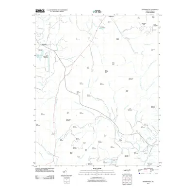 2010 Dysartsville2010 Print · USGSThe Tennessee River and NC & ST L RY define this 1950s-era landscape of rural Tennessee. Researchers can pinpoint historic community hubs like Camden, Eva Sch, and Mt Carmel Cem while exploring mid-century property lines.
 - 2010 Map of Glenwood, 2010 Print
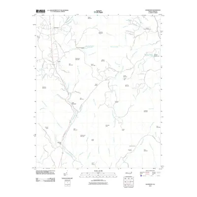 2010 Glenwood2010 Print · USGSThe foothills of the Blue Ridge Mountains are seen here in the early 2000s, where the Second Broad River meets a network of country roads and ridges. Genealogists can locate several family and community burial sites, including Brackettown Cemetery and Piney Cemetery.
 - 2010 Map of Sugar Hill, 2010 Print
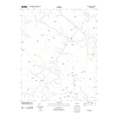 2010 Sugar Hill2010 Print · USGSThe North Carolina foothills near Whitehouse and Sugar Hill are shown here in the years following the millennium. Genealogists and hikers can trace family names across Morgan Mountain, locate the Lawing Cemetery, or follow the banks of the Second Broad River.
 - 2011 Map of Linville Falls, 2011 Print
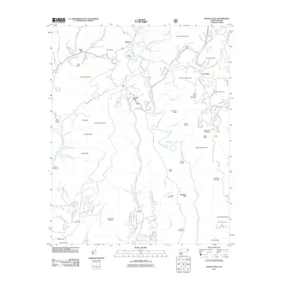 2011 Linville Falls2011 Print · USGSThe Blue Ridge high country is captured here during the early twenty-first century, centered on the dramatic Linville Gorge. Genealogists and local historians can trace family ties at the Wise Cemetery, McKinney Cemetery, and the settlement of Altamont.
 - 2011 Map of Marion East, 2011 Print
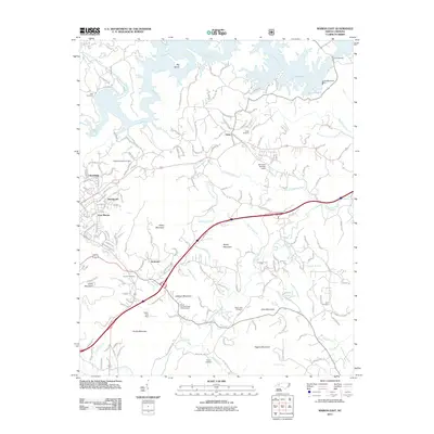 2011 Marion East2011 Print · USGSThe foothills of McDowell County are shown here in the early twenty-first century, centered on the communities of East Marion and Nebo. Researchers can trace family sites at Hoover Cemetery and Pinnacle Church or locate landmarks like the North Carolina State Prison Camp.
 - 2011 Map of Glen Alpine, 2011 Print
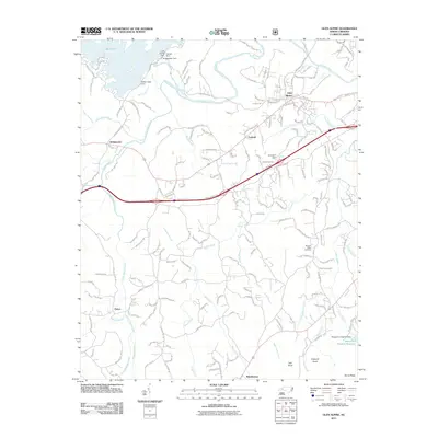 2011 Glen Alpine2011 Print · USGSThe Burke County landscape is defined by the massive reservoirs of the early twenty-first century. Researchers can trace the engineering of Lake James at the Bridgewater Dam or locate family sites at Advent Cemetery and the settlement of Patten.
 - 2011 Map of Ashford, 2011 Print
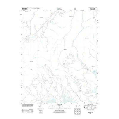 2011 Ashford2011 Print · USGSThe foothills of Western North Carolina are captured here in 2011 as the Catawba and Linville rivers meet at the headwaters of Lake James. Genealogists and historians can trace family sites at Brown Cemetery, navigate the terrain around Honeycutt Tunnel, and locate the old settlement at Longtown.
 - 2011 Map of Little Switzerland, 2011 Print
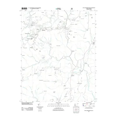 2011 Little Switzerland2011 Print · USGSThe Blue Ridge high country near Little Switzerland is shown here in the early twenty-first century, defined by its complex mountain passes and engineering feats. Researchers can locate remote family sites like Burnett Cemetery and Hollifield Cemetery or trace the path of numerous tunnels and landmarks like the Woods Mountain Lookout Tower.
 - 2011 Map of Celo, 2011 Print
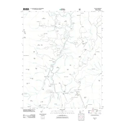 2011 Celo2011 Print · USGSThe South Toe River valley in Yancey County reveals a landscape of high peaks and secluded coves during the early 21st century. Genealogists can trace family heritage through a high concentration of burial sites like Grindstaff Cemetery and Patton Cemetery, or locate landmarks near the Blue Ridge Pky.
 - 2011 Map of Montreat, 2011 Print
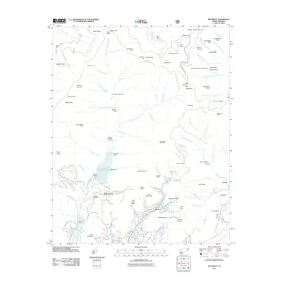 2011 Montreat2011 Print · USGSMontreat and the high ridges of the Black Mountains are captured here in the early twenty-first century. Genealogists and local historians can trace the road networks of Montreat and Walkertown or locate the North Fork Dam and the Jarrett Tunnel.
 - 2011 Map of Spruce Pine, 2011 Print
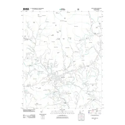 2011 Spruce Pine2011 Print · USGSSpruce Pine and the North Toe River valley are shown in detail during the early 21st century, illustrating the region's deep mining and rail history. Genealogists can trace family landmarks like Wiseman Cemetery and Tolley Cemetery or locate old industrial sites like the Gusher Knob Mine.
 - 2011 Map of Black Mountain, 2011 Print
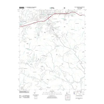 2011 Black Mountain2011 Print · USGSBlack Mountain and the Blue Ridge crest are captured here during a period of modern growth and historical preservation. Genealogists and hikers can trace the Swannanoa Tunnel, family landmarks like Garren Mountain, and small community centers such as Nesbitt Chapel.
 - 2011 Map of Old Fort, 2011 Print
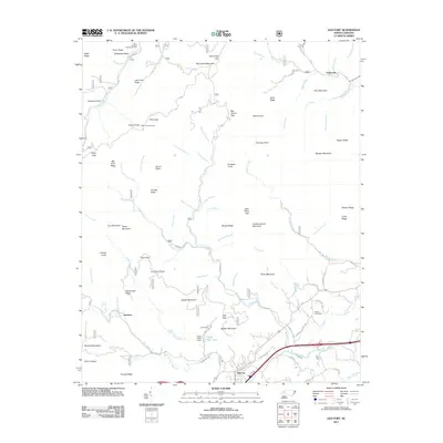 2011 Old Fort2011 Print · USGSThe foothills of the Blue Ridge come alive in this recent survey of the gateway to the mountains. Genealogists and historians can locate the Siloam Cemeteries and trace the legacy of the region's development near Old Fort, Andrews Geyser, and the Camp Grier Dam.
 - 2011 Map of Moffitt Hill, 2011 Print
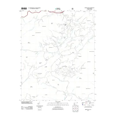 2011 Moffitt Hill2011 Print · USGSThe McDowell County highlands come into focus in the early twenty-first century, showcasing the network of gaps and coves that shaped local life. Researchers can locate family landmarks like Pine Cove Cemetery, tracing the roads between Lackey Town, Davistown, and the Catawba River.
 - 2011 Map of Marion West, 2011 Print
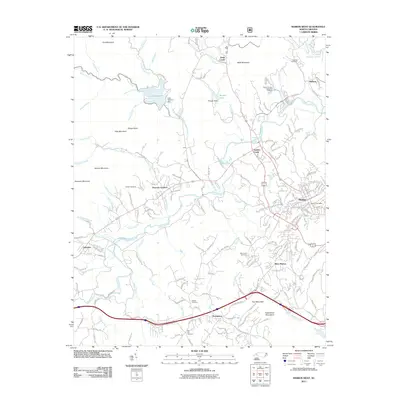 2011 Marion West2011 Print · USGSMcDowell County's landscape at the start of the 2010s shows the growing reach of Marion alongside traditional mountain communities. Researchers can locate family landmarks like Zion Hill Cemetery, the North Carolina State Fish Hatchery, and the historic Lake Tahoma Dam.
 - 2013 Map of Dysartsville, 2013 Print
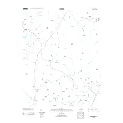 2013 Dysartsville2013 Print · USGSDysartsville and the surrounding McDowell County peaks are captured here in the early twenty-first century as the landscape maintains its traditional rural character. Genealogists and local historians can trace family-named landmarks like Earl Mountain and Jim Long Mountain, or locate the historic Stewart Cove settlement.
 - 2013 Map of Glenwood, 2013 Print
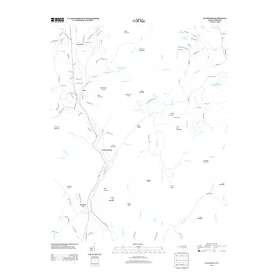 2013 Glenwood2013 Print · USGSMcDowell County's foothills come alive in the early 2010s, showing the rural character and mountain terrain around Glenwood. Researchers can trace old family roads and landmarks like Vein Mountain, Thermal City, and the winding Second Broad River.
 - 2013 Map of Glen Alpine, 2013 Print
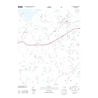 2013 Glen Alpine2013 Print · USGSWestern North Carolina's Catawba Valley comes into focus in this early 21st-century survey of the foothills near Glen Alpine. Genealogists and local historians can trace the roads connecting Bridgewater, Patten, and numerous country churches like Drucilla Church and Morning Star Church.
 - 2013 Map of Marion East, 2013 Print
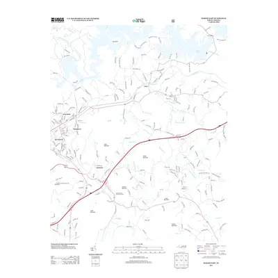 2013 Marion East2013 Print · USGSThe McDowell County foothills are captured here in the early twenty-first century, showing the developed shoreline of Lake James and the surrounding rural communities. Genealogists and local historians can trace the topography near Nebo or locate landmarks like the North Carolina State Prison Camp and Clinchfield.
 - 2013 Map of Ashford, 2013 Print
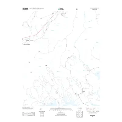 2013 Ashford2013 Print · USGSNorth Carolina's mountain foothills meet the waters of Lake James in the early twenty-first century. Genealogists and local historians can trace the geography around Ashford, Linville, and the Honeycutt Tunnel, alongside landmarks like Shortoff Mountain.
 - 2013 Map of Little Switzerland, 2013 Print
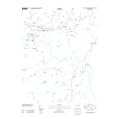 2013 Little Switzerland2013 Print · USGSLittle Switzerland and the surrounding Blue Ridge peaks are shown in detail during the early twenty-first century. Researchers can trace intricate railway engineering through The Loop and find landmarks like the Woods Mountain Lookout Tower and Blue Ridge Gemstone Mine and Campground.
 - 2013 Map of Celo, 2013 Print
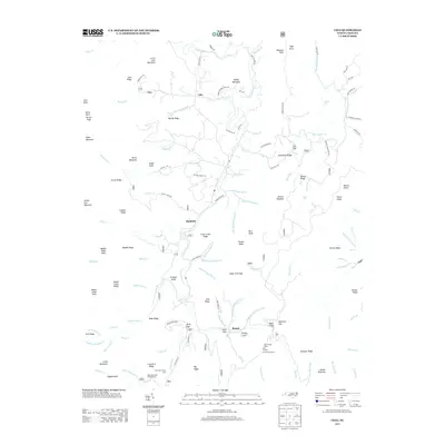 2013 Celo2013 Print · USGSThe S Toe River valley north of Busick is shown here in the early twenty-first century, surrounded by the high peaks of the Black Mountains. Genealogists and hikers can trace local landmarks like Celo, Crisawn Knob, and the Black Mountain Campground.
 - 2013 Map of Marion West, 2013 Print
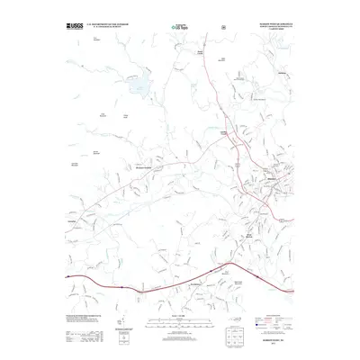 2013 Marion West2013 Print · USGSMcDowell County's western reaches are captured here in the early twenty-first century, showing the established communities along the Catawba River. Genealogists and researchers can trace local landmarks like the North Carolina State Fish Hatchery, Lake Tahoma, and Pleasant Gardens.
 - 2013 Map of Linville Falls, 2013 Print
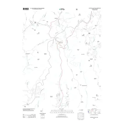 2013 Linville Falls2013 Print · USGSWestern North Carolina’s high-country terrain is captured here in the early twenty-first century, centered on the dramatic descent of the Linville River. Local historians can trace established mountain communities like Altamont and Jonas Ridge alongside the wilderness of the Linville Gorge.
 - 2013 Map of Black Mountain, 2013 Print
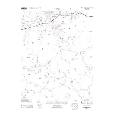 2013 Black Mountain2013 Print · USGSThe town of Black Mountain sits at a critical Appalachian passage during the early twenty-first century. Researchers can trace historic transportation routes through the Swannanoa Tunnel and explore regional landmarks such as the North Carolina State Test Farm.
Showing maps 1-25 of 60
Top cities of McDowell County
Frequently asked questions
- What are the different types of historical maps available for McDowell County?
- What is the oldest map of McDowell County?
- Where can I purchase historical maps of McDowell County for my home or office?
- Where can I download high-res historical maps of McDowell County?
- Are there historical topographic maps available for McDowell County?
- Is there historical aerial imagery available for McDowell County?
- Where are historical maps of McDowell County sourced from?