1950s Maps of Bottineau County, North Dakota
Explore 34 historic maps of Bottineau County from the 1950s. These maps offer a rare glimpse into what life looked like during the 1950s — showing old roads, neighborhoods, homes, and landmarks that have changed or disappeared over time.
Whether you're researching your family's past, planning a metal detecting trip, or studying how Bottineau County's landscape evolved across the 1950s, these high-resolution maps are a powerful tool for exploring the history of this region.
- Focus on a specific era: All maps on this page are from the 1950s, giving you a focused view of this time period.
- See what’s changed: Compare century-old streets, trails, and buildings to today's modern landscape using overlays and satellite layers.
- Research with precision: Use these maps for genealogy, historical research, land use analysis, or educational projects.
- View, download, or print: Maps are fully viewable online in high resolution, and can be downloaded or printed for your own records.
Start exploring Bottineau County's history through authentic maps from the 1950s. This is your window into the past.
Bottineau County, ND maps
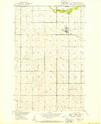
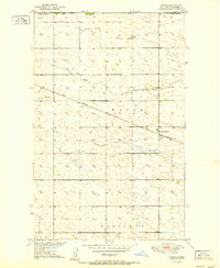
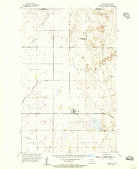
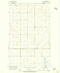
(34)- 1950 Map of Newburg
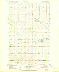 1950 Newburg1950 Print · USGSBottineau County at the midpoint of the century shows a landscape tied to the great prairie railroads. Genealogists and historians can trace the rail-side growth of Newburg and Russell, locating specific landmarks like School No 1 and the State Game Refuge.
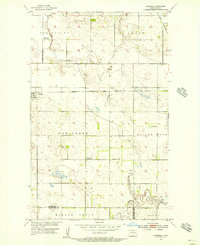
 - 1950 Map of Kramer
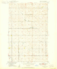
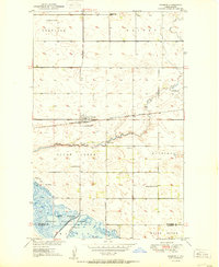 1950 Kramer1950 Print · USGSBottineau County's agricultural prairie and the Souris River wetlands are captured here at mid-century. Researchers can trace the railroad economy at Kramer or locate rural landmarks like Thrums Sch No 4 and the Kramer Cem.
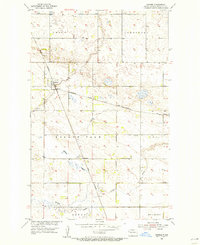
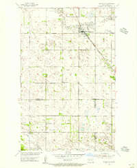
 - 1950 Map of Lansford
 1950 Lansford1950 Print · USGSNorth Dakota's northern prairie was a bustling network of rail and rural education during the mid-century. Researchers can trace the heritage of Lansford through its numerous country schoolhouses like Graham Sch and rail-line stops such as Forfar.
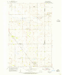
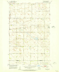
 - 1950 Map of Westhope SW
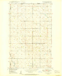
 1950 Westhope SW1950 Print · USGSBottineau County's prairie landscape is captured here at mid-century, showing the rural structure of the North Dakota plains. Genealogists and local historians can locate early social landmarks like Zion Ch and one-room schoolhouses such as Stinson Sch No 1.
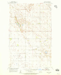
 - 1950 Map of Deep
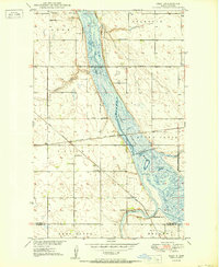 1950 Deep1950 Print · USGSBottineau County's prairie and wetlands are documented here in the mid-twentieth century as the railroad era met modern conservation efforts. Genealogists and historians can trace the foundations of Deep and the locations of St Johns Ch and Thrums Sch No 1.2 unique versions available
 - 1950 Map of Antler NW
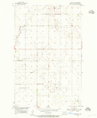
 1950 Antler NW1950 Print · USGSThe international border between North Dakota and Canada forms the backdrop for this mid-century prairie survey. Genealogists and local historians can trace family land in townships like Wheaton and Eden or locate the site of Haas Ch and Fairview Sch No 1.
 - 1950 Map of Landa
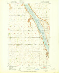
 1950 Landa1950 Print · USGSNear the Canadian border in the mid-twentieth century, this Bottineau County landscape centers on the Souris River and its vast wildlife refuge. Genealogists can locate family landmarks like Landa Cem, Zion Ch, and rural schoolhouses along the Great Northern rail line.
 - 1950 Map of Landa SW
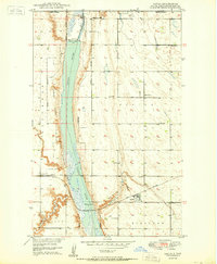
 1950 Landa SW1950 Print · USGSNorth Dakota's Bottineau County is captured here at mid-century, defined by the winding marshlands of the Lower Souris National Wildlife Refuge. Researchers can trace old section-line roads to local landmarks like School No 2 and the Gravel Pit.
 - 1950 Map of Antler
 1950 Antler1950 Print · USGSThe international border at the 49th parallel defines this northern Bottineau County landscape in the 1950s. Genealogists and historians can trace the local community through landmarks like Antler Cem, School No 2, and the Great Northern rail line.
 - 1950 Map of Renville
 1950 Renville1950 Print · USGSBottineau County's prairie landscape is captured here at mid-century, showing the early infrastructure of the Missouri River Basin project. Researchers can locate community centers like Bethel Ch, School No 1, and the settlement of Renville.
 - 1950 Map of Willow City SW
 1950 Willow City SW1950 Print · USGSMid-century McHenry County comes to life as the Souris River winds through the protected lands of the Lower Souris National Wildlife Refuge. Family historians can locate rural landmarks like Emmanuel Ch, Nelson Bridge, and several numbered country schoolhouses.
 - 1951 Map of Westhope SE
 1951 Westhope SE1951 Print · USGSBottineau County's prairie townships are captured here in the early fifties during the Missouri River Basin development program. Local historians can trace early community sites like St Paul Ch, Weak Cem, and the Town Hall.
 - 1951 Map of Kuroki
 1951 Kuroki1951 Print · USGSThe North Dakota borderlands near Bottineau are captured here in the early fifties, documenting the rail-side community of Kuroki. Genealogists and local historians can trace the Great Northern rail corridor and find landmarks like Rosebud Sch No 2.
 - 1951 Map of Westhope
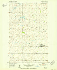 1951 Westhope1951 Print · USGSWesthope and the North Dakota plains sit just below the Canadian border in the early fifties. Local historians can trace the Great Northern rail corridor and find early landmarks like the Westhope Landing Field and Hulse Coulee.2 unique versions available
 - 1954 Map of Souris SW, 1955 Print
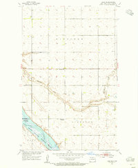
 1954 Souris SW1955 Print · USGSBottineau County's prairie landscape was meticulously documented in the mid-fifties as part of a larger Missouri River Basin development study. Genealogists and local historians can trace the meandering path of Boundary Creek through the townships of Eidsvold and Starbuck.
 - 1954 Map of Landa SE, 1955 Print
 1954 Landa SE1955 Print · USGSBottineau County in the mid-fifties is captured here as a landscape of prairie townships and river bottomlands. Researchers can trace the Lower Souris National Wildlife Refuge and locate local landmarks like Nedaros Cem and the Town Hall.
 - 1954 Map of Souris, 1956 Print
 1954 Souris1956 Print · USGSSouris and its surrounding townships are captured in the mid-1950s as a vital railroad hub along the international border. Researchers can trace family history at Mountain View Cem, local education at Mountain View Sch No 3, or follow the Great Northern rail lines.
 - 1954 Map of Omemee, 1956 Print
 1954 Omemee1956 Print · USGSRailroads shaped this mid-century Bottineau County landscape where the Great Northern and the Soo Line met. Genealogists can trace the rural communities of Omemee, Belmar, and Tasco, including the local Tasco Cem.2 unique versions available
 - 1954 Map of Barton, 1956 Print
 1954 Barton1956 Print · USGSThe northern Great Plains landscape around Barton is captured here during the mid-fifties, showing the intersection of three counties. Researchers can trace the path of the Great Northern railroad and locate rural landmarks like Pleasant Valley Sch.2 unique versions available
 - 1954 Map of Souris SE, 1956 Print
 1954 Souris SE1956 Print · USGSThe Bottineau County prairie comes into focus in the mid-1950s, showing a landscape of rural townships and family farmsteads. Genealogists can trace local history through School No 18, School No 47, and the banks of Stone Creek.
 - 1954 Map of Roth, 1956 Print
 1954 Roth1956 Print · USGSSettlement and industry meet the Canadian border in the 1950s along the North Dakota prairie. Genealogists and historians can trace the rural infrastructure of Bottineau County through local sites like Lesje Ch, School No 2, and the railroad siding at Roth.2 unique versions available
 - 1954 Map of Gardena, 1956 Print
 1954 Gardena1956 Print · USGSThe prairie landscape of Bottineau County is captured here in the mid-1950s, centered on the rail junction at Gardena. Researchers can trace the decline of early rural schoolhouses like Nehring Sch (Abandoned) and locate family plots at the Evangelical Cem.
 - 1954 Map of Willow City, 1956 Print
 1954 Willow City1956 Print · USGSNorth Dakota's northern prairie is captured in the mid-1950s as the Great Northern rail line still tied these small farming townships together. Genealogists and local historians can locate Immanuel Ch, Notre Dame Cem, and rural schoolhouses like Norman Sch No 1.
 - 1954 Map of Minot, 1964 Print
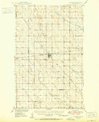
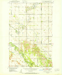
 1954 Minot1964 Print · USGSNorth Dakota's northern borderlands are captured here in the mid-fifties, showing a landscape defined by the winding Souris River and the rise of the Turtle Mountains. Genealogists can locate family-named sidings like Hurd Siding and Truro Siding alongside the vital Great Northern rail lines.3 unique versions available
 - 1955 Map of Upham NE, 1956 Print
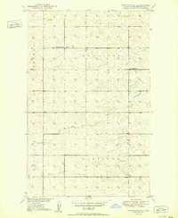
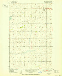
 1955 Upham NE1956 Print · USGSMid-century Bottineau County thrives as a rail-centered agricultural landscape just as the rural school system begins to shift. Genealogists and historians can locate the Zion Cem, the town of Gardena, and an early School No 1 (Abandoned).
Showing maps 1-25 of 34
Top cities of Bottineau County
- Bottineau historical maps
- Westhope historical maps
- Lansford historical maps
- Willow City historical maps
- Maxbass historical maps
- Newburg historical maps
See more
Frequently asked questions
- What are the different types of historical maps available for Bottineau County?
- What is the oldest map of Bottineau County?
- Where can I purchase historical maps of Bottineau County for my home or office?
- Where can I download high-res historical maps of Bottineau County?
- Are there historical topographic maps available for Bottineau County?
- Is there historical aerial imagery available for Bottineau County?
- Where are historical maps of Bottineau County sourced from?