1900s (20th Century) Maps of Grand Forks County, North Dakota
Explore 62 historic maps of Grand Forks County from the 1900s (20th Century). These maps offer a rare glimpse into what life looked like during the 1900s — showing old roads, neighborhoods, homes, and landmarks that have changed or disappeared over time.
Whether you're researching your family's past, planning a metal detecting trip, or studying how Grand Forks County's landscape evolved across the 1900s, these high-resolution maps are a powerful tool for exploring the history of this region.
- Focus on a specific era: All maps on this page are from the 1900s, giving you a focused view of this time period.
- See what’s changed: Compare century-old streets, trails, and buildings to today's modern landscape using overlays and satellite layers.
- Research with precision: Use these maps for genealogy, historical research, land use analysis, or educational projects.
- View, download, or print: Maps are fully viewable online in high resolution, and can be downloaded or printed for your own records.
Start exploring Grand Forks County's history through authentic maps from the 1900s. This is your window into the past.
Grand Forks County, ND maps
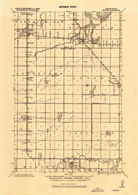
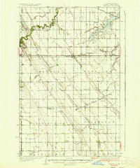
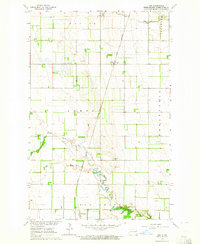
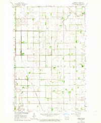
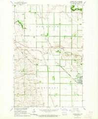
(62)- 1919 Map of Eldred
 1919 Eldred1919 Print · USGSCovers Grand Forks County, including Climax, Nielsville, and other nearby areas
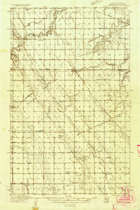
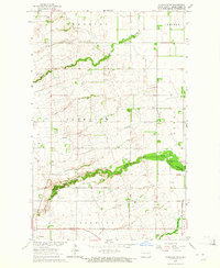
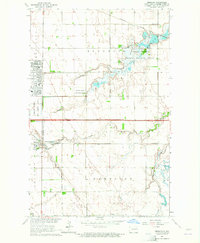
 - 1926 Map of Ardoch, 1944 Print
 1926 Ardoch1944 Print · USGSCovers Grand Forks County, including Mekinock, Gilby, and other nearby areas
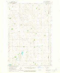
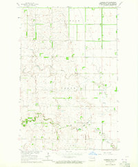
 - 1934 Map of Emerado
 1934 Emerado1934 Print · USGSCovers Grand Forks County, including Emerado, Arvilla, and other nearby areas4 unique versions available
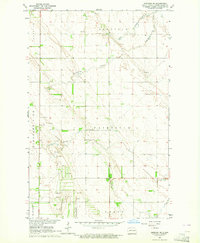
 - 1934 Map of Grand Forks
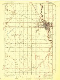
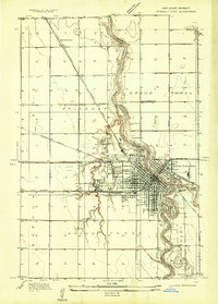 1934 Grand Forks1934 Print · USGSCovers Grand Forks County, including Grand Forks, East Grand Forks, and other nearby areas
 - 1934 Map of Grand Forks
 1934 Grand Forks1934 Print · USGSCovers Grand Forks County, including Grand Forks, East Grand Forks, and other nearby areas2 unique versions available
 - 1936 Map of Emerado
 1936 Emerado1936 Print · USGSCovers Grand Forks County, including Emerado, Arvilla, and other nearby areas3 unique versions available
 - 1936 Map of Larimore
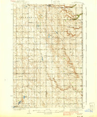
 1936 Larimore1936 Print · USGSCovers Grand Forks County, including Larimore, Northwood, and other nearby areas3 unique versions available
 - 1938 Map of Grand Forks
 1938 Grand Forks1938 Print · USGSCovers Grand Forks County, including Grand Forks, East Grand Forks, and other nearby areas3 unique versions available
 - 1939 Map of Niagara
 1939 Niagara1939 Print · USGSCovers Grand Forks County, including Niagara, Logan Center, and other nearby areas2 unique versions available
 - 1952 Map of Grand Forks, 1967 Print
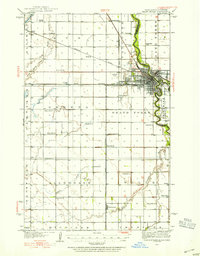
 1952 Grand Forks1967 Print · USGSCovers Grand Forks County, including Grand Forks, East Grand Forks, and other nearby areas3 unique versions available
 - 1952 Map of Thief River Falls, 1967 Print
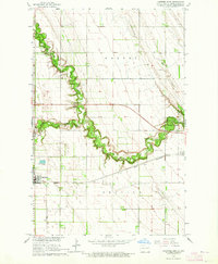
 1952 Thief River Falls1967 Print · USGSCovers Grand Forks County, including Thief River Falls, Grafton, and other nearby areas2 unique versions available
 - 1956 Map of Thief River Falls
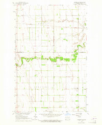
 1956 Thief River Falls1956 Print · USGSCovers Grand Forks County, including Thief River Falls, Grafton, and other nearby areas
 - 1956 Map of Grand Forks
 1956 Grand Forks1956 Print · USGSCovers Grand Forks County, including Grand Forks, East Grand Forks, and other nearby areas
 - 1957 Map of Thief River Falls
 1957 Thief River Falls1957 Print · USGSCovers Grand Forks County, including Thief River Falls, Grafton, and other nearby areas
 - 1963 Map of Kelly, 1964 Print
 1963 Kelly1964 Print · USGSCovers Grand Forks County, including Grand Forks, Powell, and other nearby areas
 - 1963 Map of Orr, 1964 Print
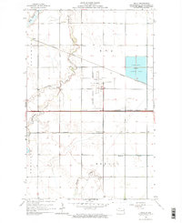
 1963 Orr1964 Print · USGSCovers Grand Forks County, including McCanna, Orr, and other nearby areas
 - 1963 Map of Larimore East, 1964 Print
 1963 Larimore East1964 Print · USGSCovers Grand Forks County, including Larimore, United States, and other nearby areas2 unique versions available
 - 1963 Map of Niagara SW, 1964 Print
 1963 Niagara SW1964 Print · USGSCovers Grand Forks County, including Nelson County, United States, and other nearby areas
 - 1963 Map of Inkster NE, 1964 Print
 1963 Inkster NE1964 Print · USGSCovers Grand Forks County, including Ops, Walsh County, and other nearby areas
 - 1963 Map of Kempton, 1964 Print
 1963 Kempton1964 Print · USGSCovers Grand Forks County, including Northwood, Kempton, and other nearby areas
 - 1963 Map of Fordville SE, 1964 Print
 1963 Fordville SE1964 Print · USGSCovers Grand Forks County, including Niagara, United States, and other nearby areas
 - 1963 Map of Larimore SW, 1964 Print
 1963 Larimore SW1964 Print · USGSCovers Grand Forks County, including United States, North Dakota, and other nearby areas
 - 1963 Map of Emerado SE, 1964 Print
 1963 Emerado SE1964 Print · USGSCovers Grand Forks County, including United States, North Dakota, and other nearby areas
 - 1963 Map of Larimore West, 1964 Print
 1963 Larimore West1964 Print · USGSCovers Grand Forks County, including Larimore, United States, and other nearby areas
 - 1963 Map of Emerado, 1964 Print
 1963 Emerado1964 Print · USGSCovers Grand Forks County, including Emerado, United States, and other nearby areas2 unique versions available
Showing maps 1-25 of 62
Top cities of Grand Forks County
- Grand Forks historical maps
- Mekinock historical maps
- Larimore historical maps
- Thompson historical maps
- Northwood historical maps
- Emerado historical maps
See more
Frequently asked questions
- What are the different types of historical maps available for Grand Forks County?
- What is the oldest map of Grand Forks County?
- Where can I purchase historical maps of Grand Forks County for my home or office?
- Where can I download high-res historical maps of Grand Forks County?
- Are there historical topographic maps available for Grand Forks County?
- Is there historical aerial imagery available for Grand Forks County?
- Where are historical maps of Grand Forks County sourced from?