Old Maps of Grand Forks County, North Dakota for Genealogy
Trace your family roots with 104 historic maps of Grand Forks County. These high-res maps reveal old neighborhoods, homesites, landmarks, and streets — helping you uncover where your ancestors lived and how the area evolved over time.
- Explore historic neighborhoods: Identify where your relatives may have lived in the 1800s or 1900s.
- Compare maps over time: Trace the changes in streets, buildings, and landmarks for multi-generational research.
- Perfect for genealogy & ancestry research: Used by family historians and researchers to map out lineage and migration.
These maps are an incredible resource for exploring your personal connection to Grand Forks County's past.
Grand Forks County, ND maps
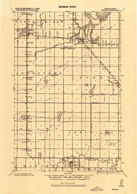
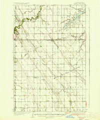
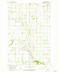
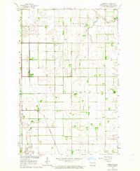
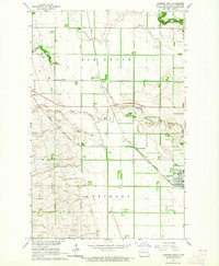
(104)- 1919 Map of Eldred
 1919 Eldred1919 Print · USGSCovers Grand Forks County, including Climax, Nielsville, and other nearby areas
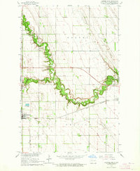
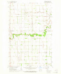
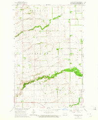
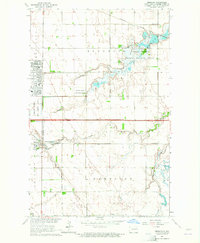
 - 1926 Map of Ardoch, 1944 Print
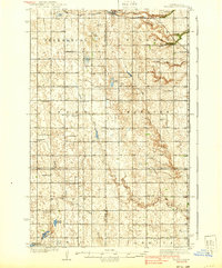
 1926 Ardoch1944 Print · USGSCovers Grand Forks County, including Mekinock, Gilby, and other nearby areas
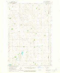
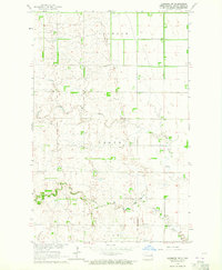
 - 1934 Map of Emerado
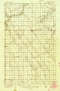 1934 Emerado1934 Print · USGSCovers Grand Forks County, including Emerado, Arvilla, and other nearby areas4 unique versions available
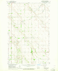
 - 1934 Map of Grand Forks
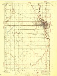
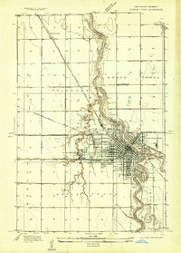 1934 Grand Forks1934 Print · USGSCovers Grand Forks County, including Grand Forks, East Grand Forks, and other nearby areas
 - 1934 Map of Grand Forks
 1934 Grand Forks1934 Print · USGSCovers Grand Forks County, including Grand Forks, East Grand Forks, and other nearby areas2 unique versions available
 - 1936 Map of Emerado
 1936 Emerado1936 Print · USGSCovers Grand Forks County, including Emerado, Arvilla, and other nearby areas3 unique versions available
 - 1936 Map of Larimore
 1936 Larimore1936 Print · USGSCovers Grand Forks County, including Larimore, Northwood, and other nearby areas3 unique versions available
 - 1938 Map of Grand Forks
 1938 Grand Forks1938 Print · USGSCovers Grand Forks County, including Grand Forks, East Grand Forks, and other nearby areas3 unique versions available
 - 1939 Map of Niagara
 1939 Niagara1939 Print · USGSCovers Grand Forks County, including Niagara, Logan Center, and other nearby areas2 unique versions available
 - 1952 Map of Grand Forks, 1967 Print
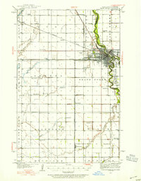
 1952 Grand Forks1967 Print · USGSCovers Grand Forks County, including Grand Forks, East Grand Forks, and other nearby areas3 unique versions available
 - 1952 Map of Thief River Falls, 1967 Print
 1952 Thief River Falls1967 Print · USGSCovers Grand Forks County, including Thief River Falls, Grafton, and other nearby areas2 unique versions available
 - 1956 Map of Thief River Falls
 1956 Thief River Falls1956 Print · USGSCovers Grand Forks County, including Thief River Falls, Grafton, and other nearby areas
 - 1956 Map of Grand Forks
 1956 Grand Forks1956 Print · USGSCovers Grand Forks County, including Grand Forks, East Grand Forks, and other nearby areas
 - 1957 Map of Thief River Falls
 1957 Thief River Falls1957 Print · USGSCovers Grand Forks County, including Thief River Falls, Grafton, and other nearby areas
 - 1963 Map of Kelly, 1964 Print
 1963 Kelly1964 Print · USGSCovers Grand Forks County, including Grand Forks, Powell, and other nearby areas
 - 1963 Map of Orr, 1964 Print
 1963 Orr1964 Print · USGSCovers Grand Forks County, including McCanna, Orr, and other nearby areas
 - 1963 Map of Larimore East, 1964 Print
 1963 Larimore East1964 Print · USGSCovers Grand Forks County, including Larimore, United States, and other nearby areas2 unique versions available
 - 1963 Map of Niagara SW, 1964 Print
 1963 Niagara SW1964 Print · USGSCovers Grand Forks County, including Nelson County, United States, and other nearby areas
 - 1963 Map of Inkster NE, 1964 Print
 1963 Inkster NE1964 Print · USGSCovers Grand Forks County, including Ops, Walsh County, and other nearby areas
 - 1963 Map of Kempton, 1964 Print
 1963 Kempton1964 Print · USGSCovers Grand Forks County, including Northwood, Kempton, and other nearby areas
 - 1963 Map of Fordville SE, 1964 Print
 1963 Fordville SE1964 Print · USGSCovers Grand Forks County, including Niagara, United States, and other nearby areas
 - 1963 Map of Larimore SW, 1964 Print
 1963 Larimore SW1964 Print · USGSCovers Grand Forks County, including United States, North Dakota, and other nearby areas
 - 1963 Map of Emerado SE, 1964 Print
 1963 Emerado SE1964 Print · USGSCovers Grand Forks County, including United States, North Dakota, and other nearby areas
 - 1963 Map of Larimore West, 1964 Print
 1963 Larimore West1964 Print · USGSCovers Grand Forks County, including Larimore, United States, and other nearby areas
 - 1963 Map of Emerado, 1964 Print
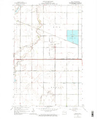
 1963 Emerado1964 Print · USGSCovers Grand Forks County, including Emerado, United States, and other nearby areas2 unique versions available
Showing maps 1-25 of 104
Top cities of Grand Forks County
- Grand Forks historical maps
- Mekinock historical maps
- Larimore historical maps
- Thompson historical maps
- Northwood historical maps
- Emerado historical maps
See more
Frequently asked questions
- What are the different types of historical maps available for Grand Forks County?
- What is the oldest map of Grand Forks County?
- Where can I purchase historical maps of Grand Forks County for my home or office?
- Where can I download high-res historical maps of Grand Forks County?
- Are there historical topographic maps available for Grand Forks County?
- Is there historical aerial imagery available for Grand Forks County?
- Where are historical maps of Grand Forks County sourced from?