Old Maps of Grand Forks County, North Dakota for Hiking & Exploration
Hike through history with 104 historic maps of Grand Forks County. Explore old trails, ghost towns, and forgotten backroads — perfect for outdoor adventurers and local explorers.
- Rediscover forgotten places: Map out old mining camps, roads, and footpaths that no longer exist on modern maps.
- Layer with modern tools: Combine with LiDAR or satellite views to plan hikes through historical terrain.
- Made for exploration: Popular among hikers, overlanders, and local history lovers.
Use these maps to find adventure and explore the hidden past of Grand Forks County.
Grand Forks County, ND maps
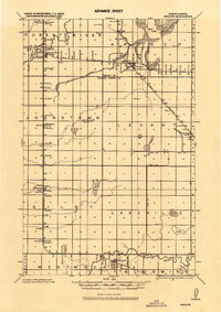
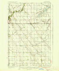
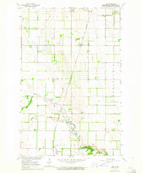
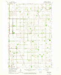
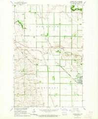
(104)- 1919 Map of Eldred
 1919 Eldred1919 Print · USGSCovers Grand Forks County, including Climax, Nielsville, and other nearby areas
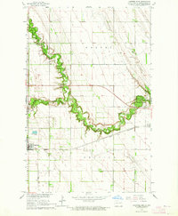
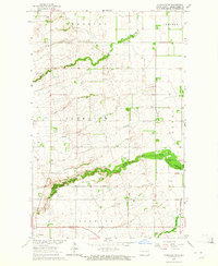
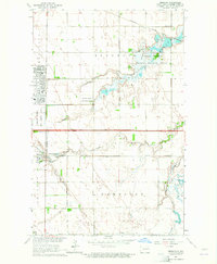
 - 1926 Map of Ardoch, 1944 Print
 1926 Ardoch1944 Print · USGSCovers Grand Forks County, including Mekinock, Gilby, and other nearby areas
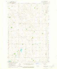
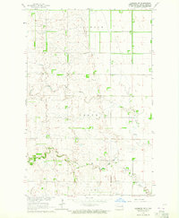
 - 1934 Map of Emerado
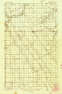 1934 Emerado1934 Print · USGSCovers Grand Forks County, including Emerado, Arvilla, and other nearby areas4 unique versions available
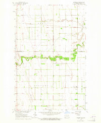
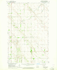
 - 1934 Map of Grand Forks
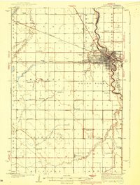
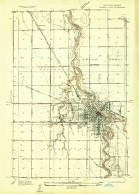 1934 Grand Forks1934 Print · USGSCovers Grand Forks County, including Grand Forks, East Grand Forks, and other nearby areas
 - 1934 Map of Grand Forks
 1934 Grand Forks1934 Print · USGSCovers Grand Forks County, including Grand Forks, East Grand Forks, and other nearby areas2 unique versions available
 - 1936 Map of Emerado
 1936 Emerado1936 Print · USGSCovers Grand Forks County, including Emerado, Arvilla, and other nearby areas3 unique versions available
 - 1936 Map of Larimore
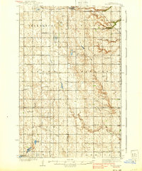
 1936 Larimore1936 Print · USGSCovers Grand Forks County, including Larimore, Northwood, and other nearby areas3 unique versions available
 - 1938 Map of Grand Forks
 1938 Grand Forks1938 Print · USGSCovers Grand Forks County, including Grand Forks, East Grand Forks, and other nearby areas3 unique versions available
 - 1939 Map of Niagara
 1939 Niagara1939 Print · USGSCovers Grand Forks County, including Niagara, Logan Center, and other nearby areas2 unique versions available
 - 1952 Map of Grand Forks, 1967 Print
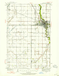
 1952 Grand Forks1967 Print · USGSCovers Grand Forks County, including Grand Forks, East Grand Forks, and other nearby areas3 unique versions available
 - 1952 Map of Thief River Falls, 1967 Print
 1952 Thief River Falls1967 Print · USGSCovers Grand Forks County, including Thief River Falls, Grafton, and other nearby areas2 unique versions available
 - 1956 Map of Thief River Falls
 1956 Thief River Falls1956 Print · USGSCovers Grand Forks County, including Thief River Falls, Grafton, and other nearby areas
 - 1956 Map of Grand Forks
 1956 Grand Forks1956 Print · USGSCovers Grand Forks County, including Grand Forks, East Grand Forks, and other nearby areas
 - 1957 Map of Thief River Falls
 1957 Thief River Falls1957 Print · USGSCovers Grand Forks County, including Thief River Falls, Grafton, and other nearby areas
 - 1963 Map of Kelly, 1964 Print
 1963 Kelly1964 Print · USGSCovers Grand Forks County, including Grand Forks, Powell, and other nearby areas
 - 1963 Map of Orr, 1964 Print
 1963 Orr1964 Print · USGSCovers Grand Forks County, including McCanna, Orr, and other nearby areas
 - 1963 Map of Larimore East, 1964 Print
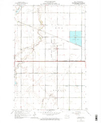
 1963 Larimore East1964 Print · USGSCovers Grand Forks County, including Larimore, United States, and other nearby areas2 unique versions available
 - 1963 Map of Niagara SW, 1964 Print
 1963 Niagara SW1964 Print · USGSCovers Grand Forks County, including Nelson County, United States, and other nearby areas
 - 1963 Map of Inkster NE, 1964 Print
 1963 Inkster NE1964 Print · USGSCovers Grand Forks County, including Ops, Walsh County, and other nearby areas
 - 1963 Map of Kempton, 1964 Print
 1963 Kempton1964 Print · USGSCovers Grand Forks County, including Northwood, Kempton, and other nearby areas
 - 1963 Map of Fordville SE, 1964 Print
 1963 Fordville SE1964 Print · USGSCovers Grand Forks County, including Niagara, United States, and other nearby areas
 - 1963 Map of Larimore SW, 1964 Print
 1963 Larimore SW1964 Print · USGSCovers Grand Forks County, including United States, North Dakota, and other nearby areas
 - 1963 Map of Emerado SE, 1964 Print
 1963 Emerado SE1964 Print · USGSCovers Grand Forks County, including United States, North Dakota, and other nearby areas
 - 1963 Map of Larimore West, 1964 Print
 1963 Larimore West1964 Print · USGSCovers Grand Forks County, including Larimore, United States, and other nearby areas
 - 1963 Map of Emerado, 1964 Print
 1963 Emerado1964 Print · USGSCovers Grand Forks County, including Emerado, United States, and other nearby areas2 unique versions available
Showing maps 1-25 of 104
Top cities of Grand Forks County
- Grand Forks historical maps
- Mekinock historical maps
- Larimore historical maps
- Thompson historical maps
- Northwood historical maps
- Emerado historical maps
See more
Frequently asked questions
- What are the different types of historical maps available for Grand Forks County?
- What is the oldest map of Grand Forks County?
- Where can I purchase historical maps of Grand Forks County for my home or office?
- Where can I download high-res historical maps of Grand Forks County?
- Are there historical topographic maps available for Grand Forks County?
- Is there historical aerial imagery available for Grand Forks County?
- Where are historical maps of Grand Forks County sourced from?