Old Maps of Larimore, North Dakota for Academic Research
Study the evolution of Larimore with 17 high-resolution historic maps. Whether you're teaching, researching, or modeling changes in land use, these maps provide essential visual documentation of urban, environmental, and geographic change.
- Analyze long-term change: Track patterns in development, transportation, and natural features.
- Ideal for environmental or urban studies: Support academic projects with primary historical map data.
- Use in the classroom or lab: Educators and researchers rely on these maps to bring historical context to life.
These maps are a powerful tool for teaching, research, and visualizing how Larimore has changed over the decades.
Larimore, ND maps
(17)- 1936 Map of Larimore
 1936 Larimore1936 Print · USGSGrand Forks County agriculture and transit are in full focus during the mid-1930s as the Great Northern railroad connects prairie towns. Genealogists can trace early landmarks like United Lutheran Church & Cem, Shawnee, and over a dozen numbered schools including School No 36.3 unique versions available
 - 1952 Map of Grand Forks, 1967 Print
 1952 Grand Forks1967 Print · USGSThe Red River Valley in the early fifties is shown here at the height of its rail-and-river agricultural economy. Researchers can locate small-town landmarks like the Pleasant View School, the Immanuel Lutheran Church, and trace the path of the Soo Line Railroad.3 unique versions available
 - 1956 Map of Grand Forks
 1956 Grand Forks1956 Print · USGSThe Red River Valley in the mid-fifties is captured here as a thriving corridor of grain elevators and rail-linked towns along the North Dakota and Minnesota border. Researchers can trace historic church sites like Immanuel Lutheran Church, vanished rail stops at Tilde Junction, and the boundaries of the White Earth Indian Reservation.
 - 1963 Map of Larimore East, 1964 Print
 1963 Larimore East1964 Print · USGSGrand Forks County in the early 1960s shows a landscape of productive prairie organized around the Great Northern railway. Genealogists and local historians can locate the Bellevue Cem, the rural Townhall, and early recreation sites like the Larimore Country Club.2 unique versions available
 - 1963 Map of Larimore West, 1964 Print
 1963 Larimore West1964 Print · USGSGrand Forks County agriculture and rail infrastructure are on full display in the early sixties, centered on the Great Northern crossroads. Genealogists and historians can trace old property lines and locate Bellevue Cem, Hannah Junction, and the rural community of Shawnee.
 - 1966 Map of Grand Forks
 1966 Grand Forks1966 Print · USGSThe Red River Valley in the mid-sixties shows a landscape shaped by rail-line commerce and complex water management. Genealogists and historians can trace rail-side towns like Emerado and Hunter or locate rural landmarks like the Pleasant View Church.
 - 1985 Map of Grand Forks
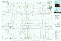 1985 Grand Forks1985 Print · USGSThe Red River Valley in the mid-1980s was a landscape of deep-rooted agriculture and rising military significance. Genealogists and researchers can trace the rail-tied development of towns like Larimore and Northwood alongside major landmarks like Grand Forks Air Force Base and Turtle River State Park.2 unique versions available
 - 2011 Map of Larimore West, 2011 Print
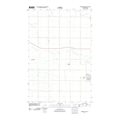 2011 Larimore West2011 Print · USGSLarimore and its rural northwestern outskirts are documented in the early twenty-first century, showing the town's expansion toward the Larimore Municipal Airport. Researchers can trace the course of Whisky Creek and locate landmarks like the Upper Turtle River Number 8 Dam.
 - 2011 Map of Larimore East, 2011 Print
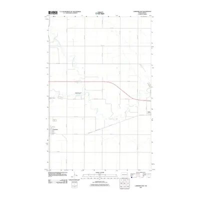 2011 Larimore East2011 Print · USGSThe Red River Valley landscape near Larimore is documented here in the early twenty-first century as the Turtle River meanders toward Arvilla. Researchers can locate Bellevue Cemetery and trace the paths of County Hwy 4 and the North Branch Turtle River.
 - 2014 Map of Larimore East, 2014 Print
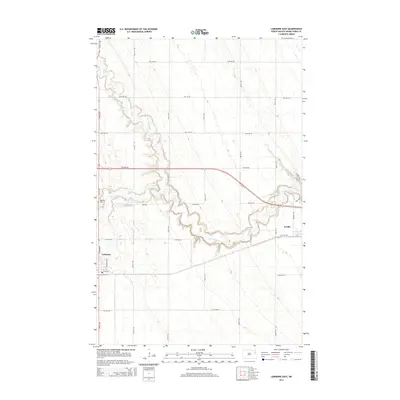 2014 Larimore East2014 Print · USGSThe eastern North Dakota prairie is captured here in the early twenty-first century, showing the established communities of Larimore and Arvilla. Researchers can trace local history through landmarks like Bellevue Cem and the winding course of the Turtle River.
 - 2014 Map of Larimore West, 2014 Print
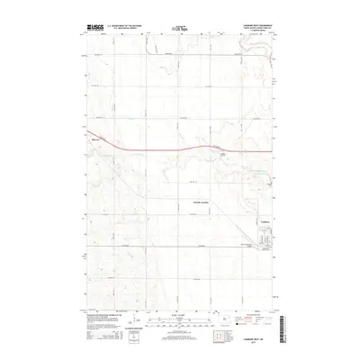 2014 Larimore West2014 Print · USGSGrand Forks County's agricultural heartland is documented here in the early twenty-first century, centered on the western expansion of the city of Larimore. Researchers can trace the drainage of Whisky Cr and locate local landmarks like Bellevue Cem and Shawnee.
 - 2017 Map of Larimore West, 2017 Print
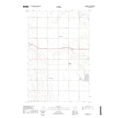 2017 Larimore West2017 Print · USGSGrand Forks County in the late 2010s reveals a prairie landscape shaped by the Turtle River and the expanding town of Larimore. Genealogists and local historians can trace the rural grid from Shawnee to the Bellevue Cem and the former rail stop at Hannah Junction.
 - 2018 Map of Larimore East, 2018 Print
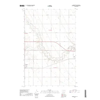 2018 Larimore East2018 Print · USGSGrand Forks County's prairie landscape is documented here in the late 2010s, centered on the communities of Larimore and Arvilla. Researchers can trace local history at Bellevue Cem or follow the recreation trails along the Turtle River, such as the River View Trail.
 - 2020 Map of Larimore East, 2020 Print
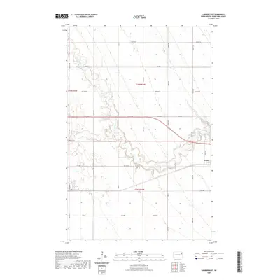 2020 Larimore East2020 Print · USGSGrand Forks County comes into focus in this recent survey of the prairie landscapes between Larimore and Arvilla. Local historians can trace the meandering course of the Turtle River and find family-named landmarks and local sites like Bellevue Cem.
 - 2020 Map of Larimore West, 2020 Print
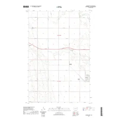 2020 Larimore West2020 Print · USGSGrand Forks County in the twenty-first century maintains its deep-rooted agricultural and civic layout. Genealogists and local historians can trace the sections around Larimore, the community of Shawnee, and the site of Elm Grove Lutheran Church Cem.
 - 2024 Map of Larimore West, 2024 Print
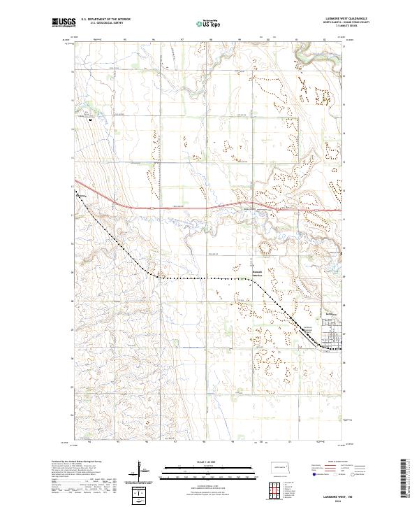 2024 Larimore West2024 Print · USGSGrand Forks County is captured here in the early 2020s, revealing the enduring agricultural layout of the Red River Valley. Genealogists and local historians can locate Elm Grove Lutheran Church Cem and the small settlements of Shawnee and Hannah Junction.
 - 2024 Map of Larimore East, 2024 Print
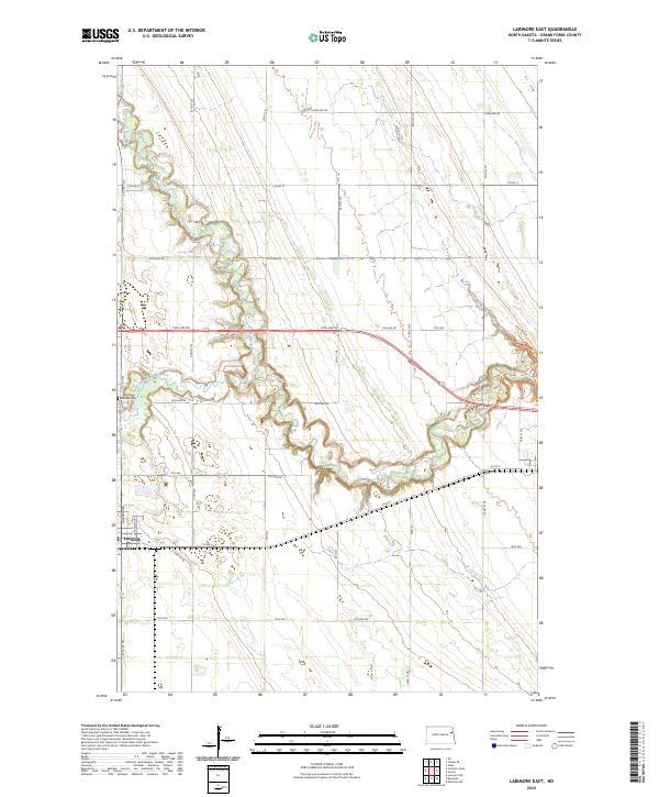 2024 Larimore East2024 Print · USGSLocated in the heart of Grand Forks County in 2024, this map shows the rural landscape surrounding Larimore and the winding Turtle River. Genealogists and local historians can trace the grid of section roads and find local landmarks like Bellevue Cem.
End of results
Showing maps 1-17 of 17
Top cities near Larimore
Frequently asked questions
- What are the different types of historical maps available for Larimore?
- What is the oldest map of Larimore?
- Where can I purchase historical maps of Larimore for my home or office?
- Where can I download high-res historical maps of Larimore?
- Are there historical topographic maps available for Larimore?
- Is there historical aerial imagery available for Larimore?
- Where are historical maps of Larimore sourced from?