Old Maps of Larimore, North Dakota for Metal Detecting
Plan your next treasure hunt with 17 historic maps of Larimore. Find old homesites, ghost towns, trails, and gathering spots that may be lost to time — perfect for identifying promising metal detecting locations.
- Locate forgotten sites: Uncover places like long-lost settlements, abandoned rail lines, or gathering spots.
- Plan better hunts: Use map overlays combined with LiDAR or satellite views to narrow in on historically rich areas.
- Made for detectorists: Thousands of hobbyists use these maps to discover relics, coins, and hidden history.
Use these historic maps to boost your research and find new opportunities beneath the surface of Larimore.
Larimore, ND maps
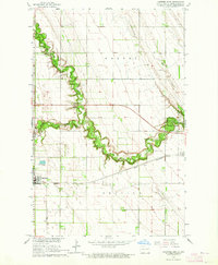
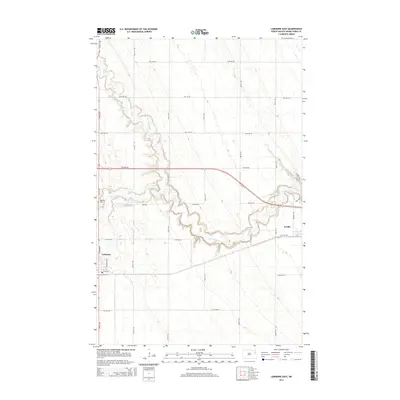
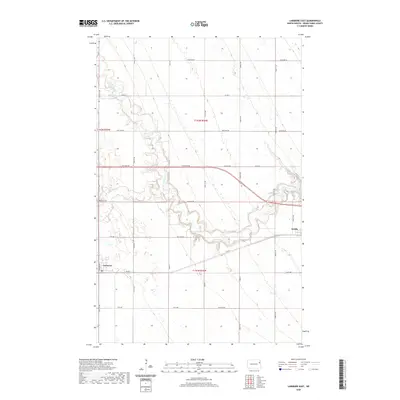
(17)- 1936 Map of Larimore
 1936 Larimore1936 Print · USGSGrand Forks County agriculture and transit are in full focus during the mid-1930s as the Great Northern railroad connects prairie towns. Genealogists can trace early landmarks like United Lutheran Church & Cem, Shawnee, and over a dozen numbered schools including School No 36.3 unique versions available
 - 1952 Map of Grand Forks, 1967 Print
 1952 Grand Forks1967 Print · USGSThe Red River Valley in the early fifties is shown here at the height of its rail-and-river agricultural economy. Researchers can locate small-town landmarks like the Pleasant View School, the Immanuel Lutheran Church, and trace the path of the Soo Line Railroad.3 unique versions available
 - 1956 Map of Grand Forks
 1956 Grand Forks1956 Print · USGSThe Red River Valley in the mid-fifties is captured here as a thriving corridor of grain elevators and rail-linked towns along the North Dakota and Minnesota border. Researchers can trace historic church sites like Immanuel Lutheran Church, vanished rail stops at Tilde Junction, and the boundaries of the White Earth Indian Reservation.
 - 1963 Map of Larimore East, 1964 Print
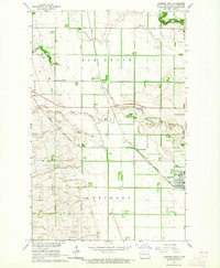
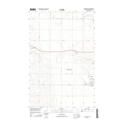
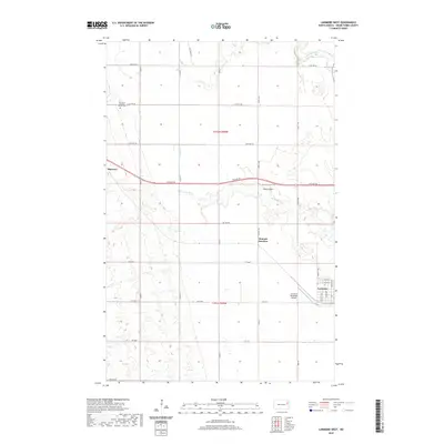
 1963 Larimore East1964 Print · USGSGrand Forks County in the early 1960s shows a landscape of productive prairie organized around the Great Northern railway. Genealogists and local historians can locate the Bellevue Cem, the rural Townhall, and early recreation sites like the Larimore Country Club.2 unique versions available
 - 1963 Map of Larimore West, 1964 Print
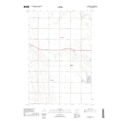
 1963 Larimore West1964 Print · USGSGrand Forks County agriculture and rail infrastructure are on full display in the early sixties, centered on the Great Northern crossroads. Genealogists and historians can trace old property lines and locate Bellevue Cem, Hannah Junction, and the rural community of Shawnee.
 - 1966 Map of Grand Forks
 1966 Grand Forks1966 Print · USGSThe Red River Valley in the mid-sixties shows a landscape shaped by rail-line commerce and complex water management. Genealogists and historians can trace rail-side towns like Emerado and Hunter or locate rural landmarks like the Pleasant View Church.
 - 1985 Map of Grand Forks
 1985 Grand Forks1985 Print · USGSThe Red River Valley in the mid-1980s was a landscape of deep-rooted agriculture and rising military significance. Genealogists and researchers can trace the rail-tied development of towns like Larimore and Northwood alongside major landmarks like Grand Forks Air Force Base and Turtle River State Park.2 unique versions available
 - 2011 Map of Larimore West, 2011 Print
 2011 Larimore West2011 Print · USGSCovers Larimore, including Grand Forks County, United States, and other nearby areas
 - 2011 Map of Larimore East, 2011 Print
 2011 Larimore East2011 Print · USGSCovers Larimore, including Grand Forks County, United States, and other nearby areas
 - 2014 Map of Larimore East, 2014 Print
 2014 Larimore East2014 Print · USGSCovers Larimore, including Grand Forks County, United States, and other nearby areas
 - 2014 Map of Larimore West, 2014 Print
 2014 Larimore West2014 Print · USGSCovers Larimore, including Grand Forks County, United States, and other nearby areas
 - 2017 Map of Larimore West, 2017 Print
 2017 Larimore West2017 Print · USGSCovers Larimore, including Grand Forks County, United States, and other nearby areas
 - 2018 Map of Larimore East, 2018 Print
 2018 Larimore East2018 Print · USGSCovers Larimore, including Grand Forks County, United States, and other nearby areas
 - 2020 Map of Larimore East, 2020 Print
 2020 Larimore East2020 Print · USGSCovers Larimore, including Grand Forks County, United States, and other nearby areas
 - 2020 Map of Larimore West, 2020 Print
 2020 Larimore West2020 Print · USGSCovers Larimore, including Grand Forks County, United States, and other nearby areas
 - 2024 Map of Larimore West, 2024 Print
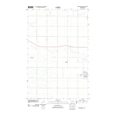
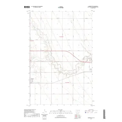
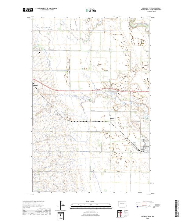 2024 Larimore West2024 Print · USGSGrand Forks County is captured here in the early 2020s, revealing the enduring agricultural layout of the Red River Valley. Genealogists and local historians can locate Elm Grove Lutheran Church Cem and the small settlements of Shawnee and Hannah Junction.
 - 2024 Map of Larimore East, 2024 Print
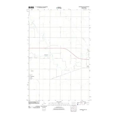
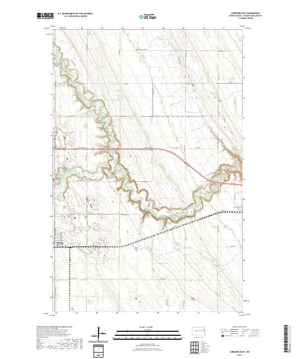 2024 Larimore East2024 Print · USGSLocated in the heart of Grand Forks County in 2024, this map shows the rural landscape surrounding Larimore and the winding Turtle River. Genealogists and local historians can trace the grid of section roads and find local landmarks like Bellevue Cem.
End of results
Showing maps 1-17 of 17
Top cities near Larimore
Frequently asked questions
- What are the different types of historical maps available for Larimore?
- What is the oldest map of Larimore?
- Where can I purchase historical maps of Larimore for my home or office?
- Where can I download high-res historical maps of Larimore?
- Are there historical topographic maps available for Larimore?
- Is there historical aerial imagery available for Larimore?
- Where are historical maps of Larimore sourced from?