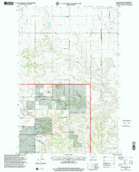
1990s Maps of McKenzie County, North Dakota
Explore 56 historic maps of McKenzie County from the 1990s. These maps offer a rare glimpse into what life looked like during the 1990s — showing old roads, neighborhoods, homes, and landmarks that have changed or disappeared over time.
Whether you're researching your family's past, planning a metal detecting trip, or studying how McKenzie County's landscape evolved across the 1990s, these high-resolution maps are a powerful tool for exploring the history of this region.
- Focus on a specific era: All maps on this page are from the 1990s, giving you a focused view of this time period.
- See what’s changed: Compare century-old streets, trails, and buildings to today's modern landscape using overlays and satellite layers.
- Research with precision: Use these maps for genealogy, historical research, land use analysis, or educational projects.
- View, download, or print: Maps are fully viewable online in high resolution, and can be downloaded or printed for your own records.
Start exploring McKenzie County's history through authentic maps from the 1990s. This is your window into the past.
McKenzie County, ND maps
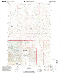
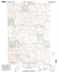
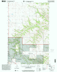
(56)- 1997 Map of Bear Butte, 2000 Print
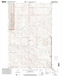
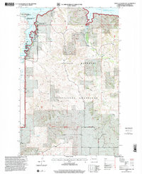
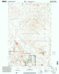 1997 Bear Butte2000 Print · USGSMcKenzie County's badlands and prairie are documented in the late nineties, showing a landscape defined by ranching and public land use. Researchers can pinpoint Spring Grove Cem, the distinct Bear Butte, and winding drainage systems like Cherry Creek.
 - 1997 Map of Trotters SE, 2001 Print
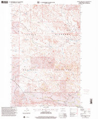
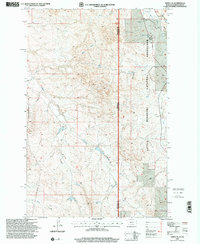
 1997 Trotters SE2001 Print · USGSGolden Valley and McKenzie counties are shown in the late nineties, documenting a sparse ranching and energy landscape. Genealogists and researchers can locate landmarks like Trotter, Flat Rock Butte, and industrial markers such as a PIPELINE and Drill Hole.
 - 1997 Map of Wolf Coulee, 2001 Print
 1997 Wolf Coulee2001 Print · USGSMcKenzie County ranching and recreation are well documented in this late twentieth-century survey of the North Dakota badlands. Researchers can locate family homesteads like Schaper Ranch or trace the original route of the Maah Daah Hey Trail.
 - 1997 Map of Schafer SE, 2001 Print
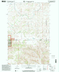
 1997 Schafer SE2001 Print · USGSMcKenzie County's badlands terrain is captured here in the late nineties, showing a landscape defined by ranching and the Little Missouri National Grassland. Researchers can locate the Trinity Cem and trace the drainage of the North Fork past Scoria Pits and Demicks Lake.
 - 1997 Map of Tepee Buttes, 2001 Print
 1997 Tepee Buttes2001 Print · USGSMcKenzie County's badlands and grasslands are captured here in the late twentieth century, showing the intersection of federal conservation and ranching life. Researchers can locate remote landmarks like the Tepee Buttes Cem, Pleasant Hill Sch, and the isolated G Wright Ranch.
 - 1997 Map of Burning Mine Butte, 2001 Print
 1997 Burning Mine Butte2001 Print · USGSMcKenzie County's grasslands were a landscape of cattle ranching and early oil exploration during the late 1990s. Genealogists and local historians can trace legacy holdings like A Moe Ranch alongside rural landmarks such as Stevenson Sch and the Oil Field.
 - 1997 Map of Scairt Woman Draw, 2001 Print
 1997 Scairt Woman Draw2001 Print · USGSBillings and McKenzie counties are captured in the late nineties as energy extraction and ranching defined this badlands landscape. Researchers can trace rural lineages through the Lillibridge Ranch, locate the old Tester Sch, and map the extent of the Scairt Woman Oil Field.
 - 1997 Map of Flat Rock Butte, 2001 Print
 1997 Flat Rock Butte2001 Print · USGSThe North Dakota badlands and oil fields meet in the late nineties, showing a landscape of remote ranches and energy production. Genealogists and historians can locate family-named sites like Rivet Ranch and Flat Rock Ranch alongside the Poker Jim Oil Field.
 - 1997 Map of Keene, 2001 Print
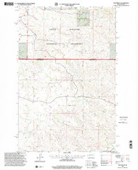
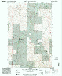
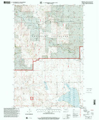
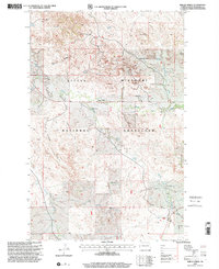
 1997 Keene2001 Print · USGSMcKenzie County was undergoing a significant industrial shift toward the end of the century as energy infrastructure expanded across the prairie. Genealogists and local historians can trace the community through Keene, the West Prairie Cent, and several rural houses of worship including Clear Creek Ch.
 - 1997 Map of Demicks Lake, 2001 Print
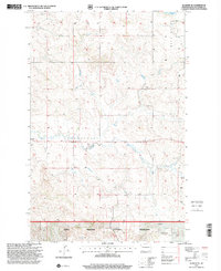
 1997 Demicks Lake2001 Print · USGSMcKenzie County ranching and grasslands are documented here in the late nineties, showing a landscape defined by coulees and open range. Researchers can find family-named landmarks like the R Wahus Ranch and H Stole Ranch near the shores of Demicks Lake.
 - 1997 Map of Skaar, 2001 Print
 1997 Skaar2001 Print · USGSThe North Dakota-Montana borderlands are captured here in the late nineties, showing the rugged intersection of the Little Missouri River and the Little Missouri National Grassland. Researchers can trace remote ranching roots at Metcalf Ranch or follow old 4WD tracks past Skaar.
 - 1997 Map of Fairview, 2001 Print
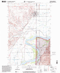 1997 Fairview2001 Print · USGSFairview stands at the crossroads of the Montana and North Dakota border during the late 1990s, where the Yellowstone River meets a landscape of legacy ranches. Researchers can locate family landmarks like the M Flynn Ranch or trace local lineage at the Pioneer Cem and Bethel Cem.
 - 1997 Map of Squaretop Butte, 2001 Print
 1997 Squaretop Butte2001 Print · USGSThe North Dakota badlands appear in detail during the late nineties as energy development and ranching define the McKenzie County border. Researchers can trace the industrial landscape of the Magpie Oil Field and landmarks like Castle Rock and O'Brien Ranch.
 - 1997 Map of Phillip Spring, 2001 Print
 1997 Phillip Spring2001 Print · USGSMcKenzie County ranchlands and energy resources are captured here in the late nineties within the Little Missouri National Grassland. Researchers can trace family-named sites like the R Leland Ranch and Wheeling-Hatter Ranch alongside the extensive Mondak Oil Field.
 - 1997 Map of Sheep Creek, 2001 Print
 1997 Sheep Creek2001 Print · USGSMcKenzie County was a landscape of remote ranching outposts and public grazing land during the late nineties. Genealogists and local historians can trace family-named sites like Indergard Ranch, the Leland Sch, and the small settlement at Skaar.
 - 1997 Map of Grassy Butte SE, 2001 Print
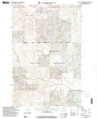
 1997 Grassy Butte SE2001 Print · USGSDunn County and the surrounding badlands are shown during the late 1990s as the energy industry and grazing lands converged. Genealogists and historians can trace local heritage through sites like the Greek Ch, a Russian Cem, and the Little Knife Gas Plant.
 - 1997 Map of Grassy Butte, 2001 Print
 1997 Grassy Butte2001 Print · USGSMcKenzie County ranchlands are documented here in the late twentieth century, showing the intersection of private homesteads and federal grasslands. Genealogists can locate family-named sites like L Chernenko and B VanFleet near the settlement of Grassy Butte.
 - 1997 Map of Cinnamon Creek, 2001 Print
 1997 Cinnamon Creek2001 Print · USGSWestern North Dakota rangeland and the badlands topography of the late nineties are preserved in this detailed survey of McKenzie County. Genealogists and local historians can trace family land like the S. Larson Ranch and Wisness Ranch along the Little Missouri River.
 - 1997 Map of Charlson, 2001 Print
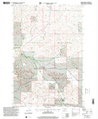
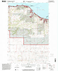 1997 Charlson2001 Print · USGSThe Missouri River breaks of McKenzie County are captured here in the late nineties as Lake Sakakawea fills the northern horizon. Genealogists can locate family landmarks like the O and C Froholm Ranch, Antelope Cem, and the Charlson settlement.
 - 1997 Map of Schafer, 2001 Print
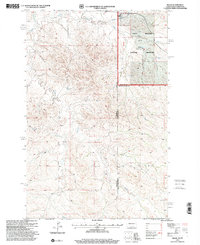
 1997 Schafer2001 Print · USGSMcKenzie County's high plains are captured here in the late nineties, showing a landscape defined by the intersection of ranching and early energy infrastructure. Researchers can locate the Schafer Cem, trace the remote 4WD trails, and explore the boundaries of the Little Missouri National Grassland.
 - 1997 Map of Tobacco Garden Bay, 2001 Print
 1997 Tobacco Garden Bay2001 Print · USGSMcKenzie County at the end of the century shows a rugged landscape where the badlands meet the sprawling waters of Lake Sakakawea. Genealogists and researchers can trace local land use through family-named landmarks like Sorensen Ranch and H Rolfsrud Ranch near Keene.
 - 1997 Map of Sidney SE, 2001 Print
 1997 Sidney SE2001 Print · USGSThe Montana and North Dakota border comes alive in the late nineties, showcasing the intersection of private ranching and public lands. Trace local family history at Klandt Ranch or explore the drainage patterns of Bennie Peer Creek and O'Brien Creek.
 - 1997 Map of Figure 4 Ranch, 2001 Print
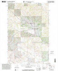
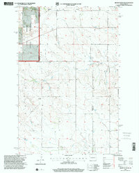
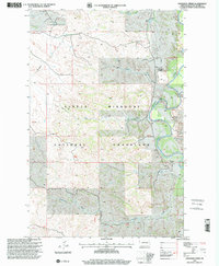
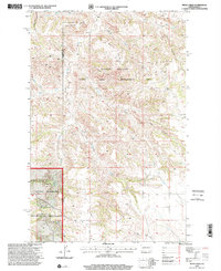
 1997 Figure 4 Ranch2001 Print · USGSThe McKenzie and Dunn County line area in the late nineties is captured here during a period of modern ranching and land management. Researchers can trace the sprawling bounds of the Figure 4 Ranch and the eastern edge of the Little Missouri National Grassland.
 - 1997 Map of Petes Creek, 2001 Print
 1997 Petes Creek2001 Print · USGSDunn and McKenzie counties show a landscape of high divides and deep coulees during the late nineties. Explore the terrain around Killdeer Mountain, trace the operations of the Knife Oil Field, and locate a remote Grave in the rugged prairie.
 - 1997 Map of Blue Buttes, 2001 Print
 1997 Blue Buttes2001 Print · USGSMcKenzie County's badlands were a working landscape of ranching and energy extraction in the late 1990s. Researchers can trace land use through local landmarks like the Van Dyke Ranch, the Redeemer Cem, and the specialized Keogh Airstrip.
Showing maps 1-25 of 56
Top cities of McKenzie County
- Watford City historical maps
- Arnegard historical maps
- Alexander historical maps
- Hawkeye historical maps
- Keene historical maps
Frequently asked questions
- What are the different types of historical maps available for McKenzie County?
- What is the oldest map of McKenzie County?
- Where can I purchase historical maps of McKenzie County for my home or office?
- Where can I download high-res historical maps of McKenzie County?
- Are there historical topographic maps available for McKenzie County?
- Is there historical aerial imagery available for McKenzie County?
- Where are historical maps of McKenzie County sourced from?