1970s Maps of McKenzie County, North Dakota
Explore 47 historic maps of McKenzie County from the 1970s. These maps offer a rare glimpse into what life looked like during the 1970s — showing old roads, neighborhoods, homes, and landmarks that have changed or disappeared over time.
Whether you're researching your family's past, planning a metal detecting trip, or studying how McKenzie County's landscape evolved across the 1970s, these high-resolution maps are a powerful tool for exploring the history of this region.
- Focus on a specific era: All maps on this page are from the 1970s, giving you a focused view of this time period.
- See what’s changed: Compare century-old streets, trails, and buildings to today's modern landscape using overlays and satellite layers.
- Research with precision: Use these maps for genealogy, historical research, land use analysis, or educational projects.
- View, download, or print: Maps are fully viewable online in high resolution, and can be downloaded or printed for your own records.
Start exploring McKenzie County's history through authentic maps from the 1970s. This is your window into the past.
McKenzie County, ND maps
(47)- 1970 Map of Eagle Draw, 1972 Print
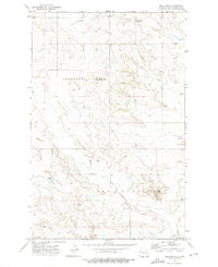
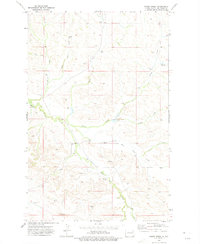
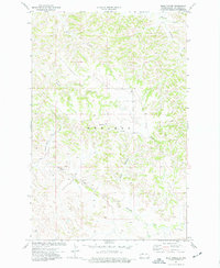
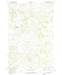
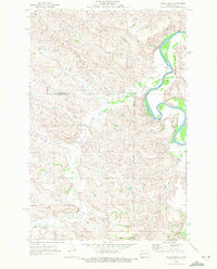 1970 Eagle Draw1972 Print · USGSNorthwestern North Dakota's badlands terrain is captured here at the start of the 1970s where three counties meet. Genealogists and researchers can trace drainage systems like Beaver Creek and Morgan Draw alongside the meandering Little Missouri River.
 - 1970 Map of Hanks Gully, 1972 Print
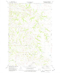
 1970 Hanks Gully1972 Print · USGSThe North Dakota Badlands in the early 1970s are defined by the winding Little Missouri River and the complex terrain of Rhoades. Geologists and researchers can trace the drainage patterns of Magpie Creek or locate landmarks like Buckhorn Butte and the local Oil Well.2 unique versions available
 - 1970 Map of Mandaree, 1973 Print
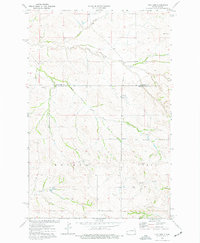
 1970 Mandaree1973 Print · USGSMcKenzie and Dunn counties are captured here in the 1970s within the Fort Berthold Indian Reservation. Researchers can trace the development of Mandaree and locate distinctive landforms like Eagle Nest Butte and Phaelens Butte.
 - 1970 Map of Figure 4 Ranch, 1973 Print
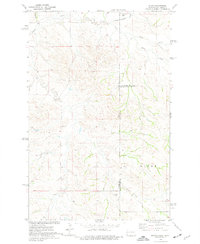
 1970 Figure 4 Ranch1973 Print · USGSMcKenzie and Dunn counties are captured here in the early 1970s, showing a landscape defined by ranching and the eastern reservation line. Researchers can trace land use through the Figure 4 Ranch, find the rural Faith Ch, and follow the breaks of Bear Den Creek.
 - 1972 Map of Bear Butte, 1975 Print
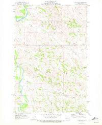
 1972 Bear Butte1975 Print · USGSMcKenzie County was a landscape of wide-open ranching country and seasonal draws in the early seventies. Genealogists and local historians can locate family markers at Spring Grove Cem and Red Wing Cem or trace the geography of Bear Butte.
 - 1972 Map of Alexander, 1975 Print
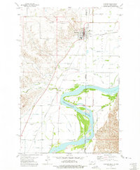
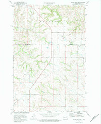
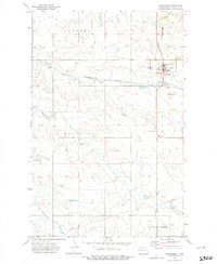 1972 Alexander1975 Print · USGSAlexander was a vital McKenzie County hub in the early seventies, centered on the Burlington Northern rail line. Researchers can locate the Lewis and Clark Trail Museum and trace the footprints of the Randolph School and several family-named buttes.
 - 1972 Map of Horse Creek School, 1975 Print
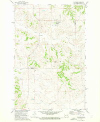
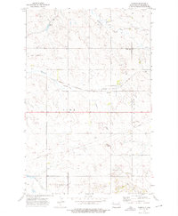
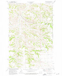
 1972 Horse Creek School1975 Print · USGSMcKenzie County's rural prairie landscape is documented here in the early seventies, showing a territory defined by ranching and resource extraction. Researchers can locate the Horse Creek School and trace local water features like Vanderhoof Coulee and Derudder Dam.
 - 1972 Map of Moline School, 1975 Print
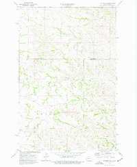
 1972 Moline School1975 Print · USGSMcKenzie County in the early seventies remains a landscape of quiet prairies and winding creek beds. Genealogists and local historians can locate rural landmarks such as the Moline School, Highland Ch, and a local Townhall situated near Charbonneau Creek.
 - 1972 Map of Fairview, 1975 Print
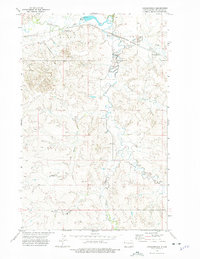
 1972 Fairview1975 Print · USGSThe border towns of Fairview and East Fairview are captured here in the early 1970s, showcasing a landscape shaped by the Yellowstone River. Genealogists can locate family landmarks like Pioneer Cem, Estes Sch, and the old rail siding at Ridgelawn.
 - 1972 Map of Rawson, 1975 Print
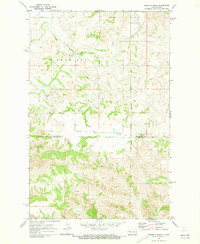
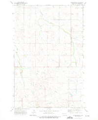
 1972 Rawson1975 Print · USGSMcKenzie County in the early seventies shows the rural community of Rawson at a crossroads of rail and prairie. Genealogists and local historians can trace landmarks like Alexander Cem, Timber Creek Ch, and the Burlington Northern line.
 - 1972 Map of Sidney SE, 1975 Print
 1972 Sidney SE1975 Print · USGSThe borderlands between Montana and North Dakota are meticulously recorded in the early seventies, centered on the meeting point of Richland and McKenzie counties. Genealogists and researchers can trace local watercourses like Bennie Peer Creek and Alkali Creek alongside several sites marked as well.
 - 1972 Map of Charbonneau, 1975 Print
 1972 Charbonneau1975 Print · USGSMcKenzie County's creek-carved landscape is documented here during the early 1970s, showing a network of ranch-land drainages and early infrastructure. Researchers can locate the Nameless Cem, trace the Burlington Northern rail line, or identify landmarks like Bull Butte and Jackson Dam.
 - 1972 Map of Phillip Spring, 1975 Print
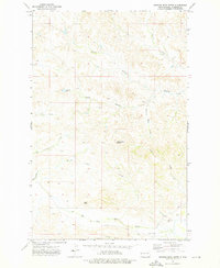
 1972 Phillip Spring1975 Print · USGSMcKenzie County in the early seventies shows a landscape of cattle-ranching utility and scattered water sources. Genealogists and historians can trace family-named landmarks like Mc Peak, Klandt Spring, and the winding course of Bennie Peer Creek.
 - 1972 Map of Sheep Creek, 1975 Print
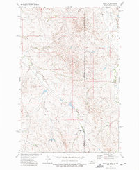
 1972 Sheep Creek1975 Print · USGSMcKenzie County's badlands terrain is meticulously detailed in the early 1970s, showing the complex drainage systems that shaped rural North Dakota. Researchers can locate the Leland Sch, trace the winding path of Sheep Creek, and identify remote water sources like Softwater Spring.
 - 1972 Map of Sather Lake, 1976 Print
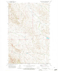
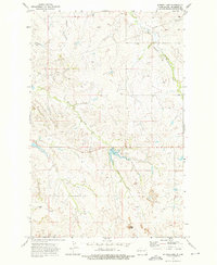 1972 Sather Lake1976 Print · USGSMcKenzie County was a landscape of remote ranchlands and developing water resources in the early seventies. Local historians and land researchers can trace the placement of Highland Cem, the drainage of Horse Creek, and the early layout of Sather Lake Recreation Area.
 - 1972 Map of Burning Mine Butte, 1976 Print
 1972 Burning Mine Butte1976 Print · USGSMcKenzie County was a landscape of remote ranching and rural outposts in the early seventies. Genealogists and local historians can locate the Poker Jim Cem, Stevenson Sch, and named landmarks like Burning Mine Butte.
 - 1972 Map of Cartwright, 1976 Print
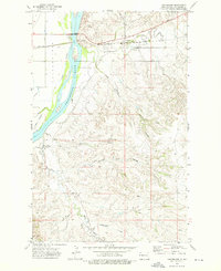 1972 Cartwright1976 Print · USGSMcKenzie County was a landscape of deep coulees and river-side rail lines in the early seventies. Genealogists and historians can trace the Burlington Northern route through Cartwright and locate rural landmarks like the Mule Creek Windmill and Sundheim Park.
 - 1974 Map of Wolf Coulee, 1976 Print
 1974 Wolf Coulee1976 Print · USGSMcKenzie County in the mid-1970s shows a landscape of intricate drainages and ranching territory before modern industrial changes. Researchers can trace the rugged paths of Beicegel Creek, Wolf Coulee Creek, and the local Scoria Pit.
 - 1974 Map of Grassy Butte SW, 1977 Print
 1974 Grassy Butte SW1977 Print · USGSThe North Dakota badlands at the turn of the 1970s show a landscape of deep coulees and isolated prairie outposts. Researchers can locate remote community landmarks like Ruf Sch and Grassy Butte Ch or trace the winding path of the Little Knife River.2 unique versions available
 - 1974 Map of Petes Creek, 1977 Print
 1974 Petes Creek1977 Print · USGSDunn and McKenzie Counties are captured in the mid-1970s, showing a rugged landscape of divides and creek beds before modern changes. Researchers can locate a solitary Grave and trace early industry at the Scoria Pit and Gravel Pit.2 unique versions available
 - 1974 Map of Trotters SE, 1977 Print
 1974 Trotters SE1977 Print · USGSThe high plains of the North Dakota borderlands were meticulously documented during the mid-1970s, showing the complex drainage of McKenzie and Golden Valley counties. Researchers can trace the winding paths of Porcupine Creek and Beaver Creek or locate isolated industrial markers like the Drill Hole near Dietz Draw.
 - 1974 Map of Squaretop Butte, 1977 Print
 1974 Squaretop Butte1977 Print · USGSThe high plains of Billings and McKenzie counties are captured in the 1970s, showing a landscape shaped by water and wind. Trace the topography around landmarks like Squaretop Butte and Tower Butte, or follow the drainages of Magpie Creek and Sand Creek.
 - 1974 Map of Buckskin Butte, 1977 Print
 1974 Buckskin Butte1977 Print · USGSMcKenzie County's badlands terrain is captured here in the mid-seventies, showing a landscape shaped by ranching and resource extraction. Researchers can trace the rugged topography around Teepee Butte and locate local landmarks like the Scoria Pit and Grassy Butte.
 - 1974 Map of Trotters, 1977 Print
 1974 Trotters1977 Print · USGSThe western North Dakota badlands of Golden Valley and McKenzie counties are captured here in the mid-1970s. Local researchers can locate the South Side Cemetery, the central Townhall, and several scoria pits near the settlement of Trotters.
 - 1974 Map of Skaar, 1977 Print
 1974 Skaar1977 Print · USGSThe Montana and North Dakota borderlands come into focus in the mid-1970s, showing a landscape shaped by creek drainage and scoria mining. Researchers can trace the rural settlement of Skaar and local extraction sites like the Scoria Pits near Henry Creek.
Showing maps 1-25 of 47
Top cities of McKenzie County
- Watford City historical maps
- Arnegard historical maps
- Alexander historical maps
- Hawkeye historical maps
- Keene historical maps
Frequently asked questions
- What are the different types of historical maps available for McKenzie County?
- What is the oldest map of McKenzie County?
- Where can I purchase historical maps of McKenzie County for my home or office?
- Where can I download high-res historical maps of McKenzie County?
- Are there historical topographic maps available for McKenzie County?
- Is there historical aerial imagery available for McKenzie County?
- Where are historical maps of McKenzie County sourced from?