2000s (21st Century) Maps of McKenzie County, North Dakota
Explore 410 historic maps of McKenzie County from the 2000s (21st Century). These maps offer a rare glimpse into what life looked like during the 2000s — showing old roads, neighborhoods, homes, and landmarks that have changed or disappeared over time.
Whether you're researching your family's past, planning a metal detecting trip, or studying how McKenzie County's landscape evolved across the 2000s, these high-resolution maps are a powerful tool for exploring the history of this region.
- Focus on a specific era: All maps on this page are from the 2000s, giving you a focused view of this time period.
- See what’s changed: Compare century-old streets, trails, and buildings to today's modern landscape using overlays and satellite layers.
- Research with precision: Use these maps for genealogy, historical research, land use analysis, or educational projects.
- View, download, or print: Maps are fully viewable online in high resolution, and can be downloaded or printed for your own records.
Start exploring McKenzie County's history through authentic maps from the 2000s. This is your window into the past.
McKenzie County, ND maps
(410)- 2011 Map of Trotters, 2011 Print
 2011 Trotters2011 Print · USGSCovers McKenzie County, including Pearl Township, Henry Township, and other nearby areas
 - 2011 Map of Schafer SE, 2011 Print
 2011 Schafer SE2011 Print · USGSCovers McKenzie County, including United States, North Dakota, and other nearby areas
 - 2011 Map of Grassy Butte SW, 2011 Print
 2011 Grassy Butte SW2011 Print · USGSCovers McKenzie County, including Billings County, United States, and other nearby areas
 - 2011 Map of Scairt Woman Draw, 2011 Print
 2011 Scairt Woman Draw2011 Print · USGSCovers McKenzie County, including Billings County, United States, and other nearby areas
 - 2011 Map of Watford City NW, 2011 Print
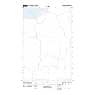 2011 Watford City NW2011 Print · USGSCovers McKenzie County, including United States, North Dakota, and other nearby areas
 - 2011 Map of Long X Divide, 2011 Print
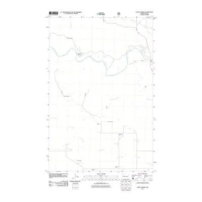 2011 Long X Divide2011 Print · USGSCovers McKenzie County, including United States, North Dakota, and other nearby areas
 - 2011 Map of Watford City, 2011 Print
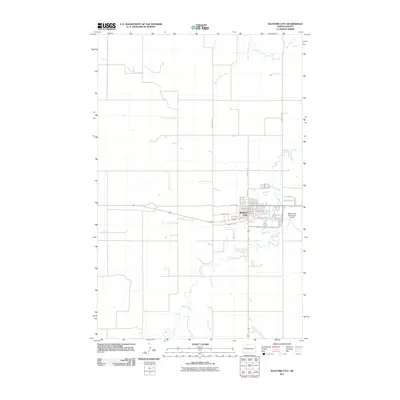 2011 Watford City2011 Print · USGSCovers McKenzie County, including Watford City, United States, and other nearby areas
 - 2011 Map of Wolf Coulee, 2011 Print
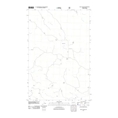 2011 Wolf Coulee2011 Print · USGSCovers McKenzie County, including United States, North Dakota, and other nearby areas
 - 2011 Map of Phillip Spring, 2011 Print
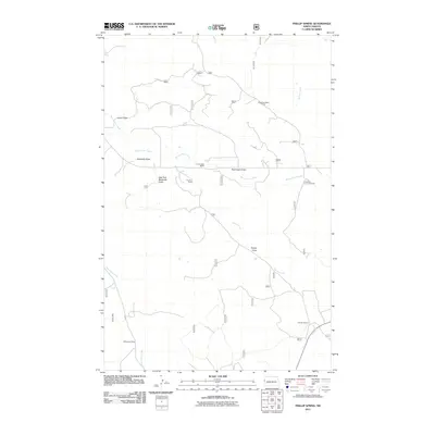 2011 Phillip Spring2011 Print · USGSCovers McKenzie County, including United States, North Dakota, and other nearby areas
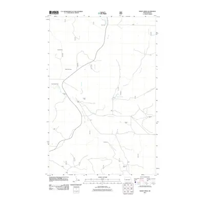
 - 2011 Map of Petes Creek, 2011 Print
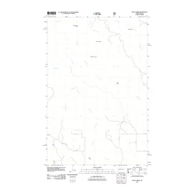 2011 Petes Creek2011 Print · USGSCovers McKenzie County, including Dunn County, United States, and other nearby areas
 - 2011 Map of Camp Creek West, 2011 Print
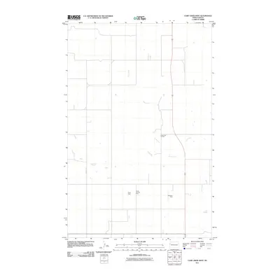 2011 Camp Creek West2011 Print · USGSCovers McKenzie County, including United States, North Dakota, and other nearby areas
 - 2011 Map of Camp Creek East, 2011 Print
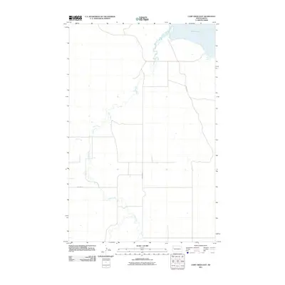 2011 Camp Creek East2011 Print · USGSCovers McKenzie County, including United States, North Dakota, and other nearby areas
 - 2011 Map of Squaretop Butte, 2011 Print
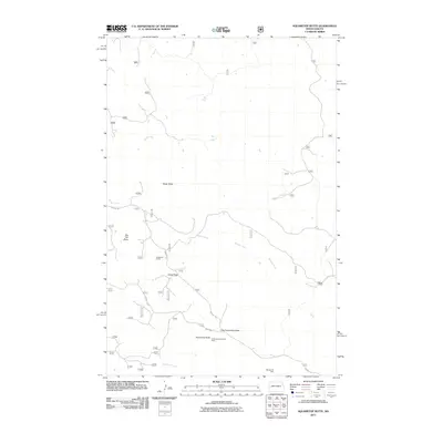 2011 Squaretop Butte2011 Print · USGSCovers McKenzie County, including Billings County, United States, and other nearby areas
 - 2011 Map of Sheep Creek, 2011 Print
 2011 Sheep Creek2011 Print · USGSCovers McKenzie County, including United States, North Dakota, and other nearby areas
 - 2011 Map of Grassy Butte, 2011 Print
 2011 Grassy Butte2011 Print · USGSCovers McKenzie County, including Grassy Butte, United States, and other nearby areas
 - 2011 Map of Arnegard, 2011 Print
 2011 Arnegard2011 Print · USGSCovers McKenzie County, including Arnegard, United States, and other nearby areas
 - 2011 Map of Horse Creek School, 2011 Print
 2011 Horse Creek School2011 Print · USGSCovers McKenzie County, including United States, North Dakota, and other nearby areas
 - 2011 Map of Sather Lake, 2011 Print
 2011 Sather Lake2011 Print · USGSCovers McKenzie County, including United States, North Dakota, and other nearby areas
 - 2011 Map of Charbonneau, 2011 Print
 2011 Charbonneau2011 Print · USGSCovers McKenzie County, including Charbonneau, United States, and other nearby areas
 - 2011 Map of Grassy Butte SE, 2011 Print
 2011 Grassy Butte SE2011 Print · USGSCovers McKenzie County, including Dunn County, Billings County, and other nearby areas
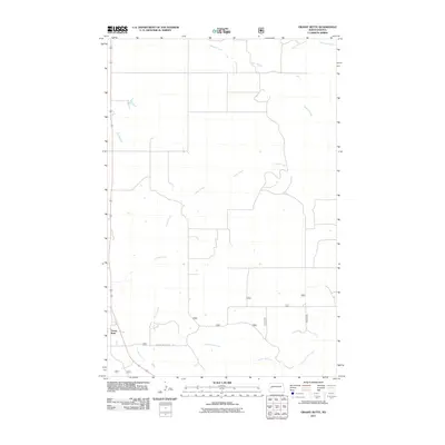
 - 2011 Map of Bear Butte, 2011 Print
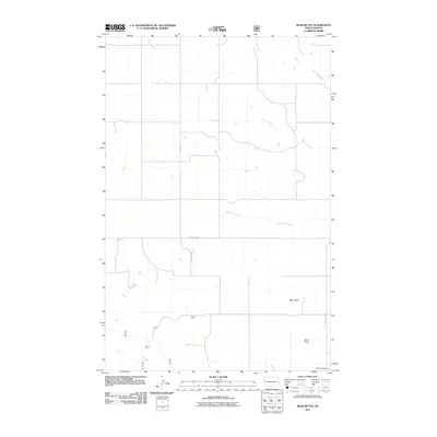 2011 Bear Butte2011 Print · USGSCovers McKenzie County, including United States, North Dakota, and other nearby areas
 - 2011 Map of Trotters SE, 2011 Print
 2011 Trotters SE2011 Print · USGSCovers McKenzie County, including Pearl Township, Golden Valley County, and other nearby areas
 - 2011 Map of Rawson, 2011 Print
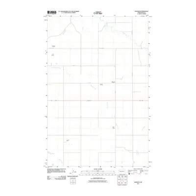 2011 Rawson2011 Print · USGSCovers McKenzie County, including Rawson, United States, and other nearby areas
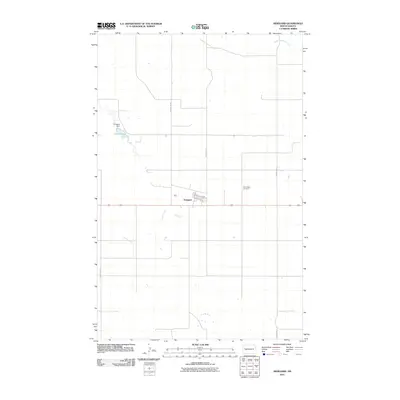
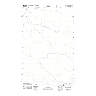
 - 2011 Map of West of Flat Rock Butte, 2011 Print
 2011 West of Flat Rock Butte2011 Print · USGSCovers McKenzie County, including Homesteaders Gap, United States, and other nearby areas
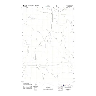
 - 2011 Map of Lone Butte NW, 2011 Print
 2011 Lone Butte NW2011 Print · USGSCovers McKenzie County, including United States, North Dakota, and other nearby areas
Showing maps 1-25 of 410
Top cities of McKenzie County
- Watford City historical maps
- Arnegard historical maps
- Alexander historical maps
- Hawkeye historical maps
- Keene historical maps
Frequently asked questions
- What are the different types of historical maps available for McKenzie County?
- What is the oldest map of McKenzie County?
- Where can I purchase historical maps of McKenzie County for my home or office?
- Where can I download high-res historical maps of McKenzie County?
- Are there historical topographic maps available for McKenzie County?
- Is there historical aerial imagery available for McKenzie County?
- Where are historical maps of McKenzie County sourced from?