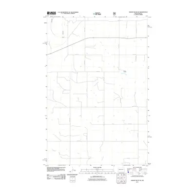
2011 Map of Grassy Butte SE
USGS Topo · Published 2011About this map
The Russian Cemetery stands as a significant cultural marker in this section of McKenzie County, reflecting the ethnic heritage and early settlement patterns of the North Dakota plains. The landscape is defined by the winding course of the Little Knife River and the Knife River, which dictate the drainage and topography of this agricultural region. A precise grid of section roads, including 118th Ave SW and 17th St, organizes the territory into the traditional township and range blocks characteristic of the Great Plains. This 2011 survey documents a sparsely populated but deeply structured rural environment, where small reservoirs and intermittent drainage channels support local farming and ranching operations between the river valleys.
Find a feature on this map
22 named features on this map. Tap any name to fly to it.
Don’t see what you’re looking for? This feature index may not catch every label — zoom into the map to look around manually.
Map Details
Editions of this 2011 Grassy Butte SE Map
This is the sole edition of this map. No revisions or reprints were ever made.
Other maps of this area

1953 · Watford City
USGS Topo · 1:250,000

1957 · Watford City
USGS Topo · 1:250,000

1963 · Fairfield
USGS Topo · 1:24,000

1963 · Hungry Man Butte
USGS Topo · 1:24,000

1967 · Watford City
USGS Topo · 1:250,000

1973 · Manning NW
USGS Topo · 1:24,000

1974 · Killdeer
USGS Topo · 1:100,000

1974 · Grassy Butte SW
USGS Topo · 1:24,000

1974 · Petes Creek
USGS Topo · 1:24,000

1974 · Fayette
USGS Topo · 1:24,000