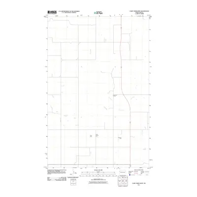
2011 Map of Camp Creek West
USGS Topo · Published 2011About this map
Camp Creek meanders through this portion of McKenzie County, defining a landscape of wide prairie drainage and isolated rural infrastructure. The map highlights several private or local airstrips, including Taylor Field, Taylor Landing Field, and Gajewski Field, reflecting the vast distances and specialized transportation needs of the North Dakota plains. Near the center of the sheet, the Camp Creek Cemetery serves as a primary point of interest for genealogists and local historians tracking family legacies in this sparsely populated area. The region is bisected by major transportation corridors, with Highway 85 running north-south and Highway 200 clipping the southern edge, while County Rd 13 provides access to the western interior.
Find a feature on this map
8 named features on this map. Tap any name to fly to it.
Don’t see what you’re looking for? This feature index may not catch every label — zoom into the map to look around manually.
Map Details
Editions of this 2011 Camp Creek West Map
This is the sole edition of this map. No revisions or reprints were ever made.
Other maps of this area

1953 · Williston
USGS Topo · 1:250,000

1953 · Watford City
USGS Topo · 1:250,000

1957 · Williston
USGS Topo · 1:250,000

1957 · Watford City
USGS Topo · 1:250,000

1967 · Watford City
USGS Topo · 1:250,000

1969 · Trenton
USGS Topo · 1:24,000

1969 · Cartwright NE
USGS Topo · 1:24,000

1972 · Alexander
USGS Topo · 1:24,000

1972 · Rawson
USGS Topo · 1:24,000

1972 · Charbonneau
USGS Topo · 1:24,000