Old Maps of White Earth, North Dakota for Academic Research
Study the evolution of White Earth with 14 high-resolution historic maps. Whether you're teaching, researching, or modeling changes in land use, these maps provide essential visual documentation of urban, environmental, and geographic change.
- Analyze long-term change: Track patterns in development, transportation, and natural features.
- Ideal for environmental or urban studies: Support academic projects with primary historical map data.
- Use in the classroom or lab: Educators and researchers rely on these maps to bring historical context to life.
These maps are a powerful tool for teaching, research, and visualizing how White Earth has changed over the decades.
White Earth, ND maps
(14)- 1953 Map of Williston, 1968 Print
 1953 Williston1968 Print · USGSThe North Dakota high plains meet the waters of Sakakawea Lake in this mid-century survey of the northern borderlands. Trace the rail-and-ranch economy through sites like Anderson Sky Ranch, Sevenmile Corner, and the strip mines near Columbus.2 unique versions available
 - 1957 Map of Williston
 1957 Williston1957 Print · USGSNorthwestern North Dakota is shown here during the mid-fifties, dominated by the sweeping plains and the Missouri River valley. Genealogists and local historians can trace the paths of the Great Northern railroad through Williston, Tioga, and Ray, or locate early industry like the coal strip mines near Lignite.
 - 1969 Map of White Earth, 1971 Print
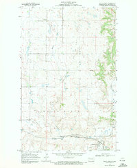 1969 White Earth1971 Print · USGSMountrail County settlement and industry are in focus here during the late sixties as the energy sector expanded. Researchers can trace the Tioga Gas and Oil Field, locate the Norman Ch, or follow the Burlington Northern rail line through White Earth.
 - 1979 Map of Tioga SE
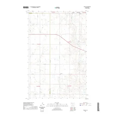
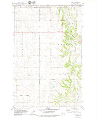 1979 Tioga SE1979 Print · USGSMountrail County and the Williams County border are captured in the late 1970s as the prairie landscape meets the broken valley of the White Earth River. Genealogists and local historians can locate the Kristiansand Cem, Houstveit Sch, and old extractive sites like the Scoria Pit.
 - 2011 Map of Tioga SE, 2011 Print
 2011 Tioga SE2011 Print · USGSCovers White Earth, including Williams County, Mountrail County, and other nearby areas
 - 2011 Map of White Earth, 2011 Print
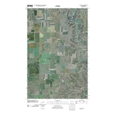
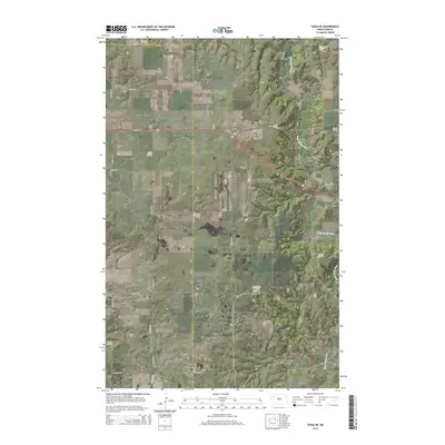
 2011 White Earth2011 Print · USGSCovers White Earth, including Mountrail County, United States, and other nearby areas
 - 2014 Map of White Earth, 2014 Print
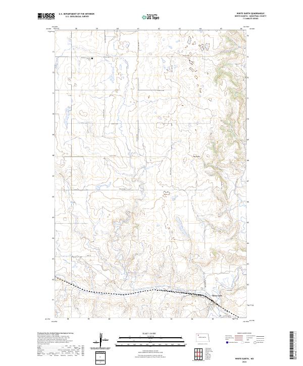
 2014 White Earth2014 Print · USGSCovers White Earth, including Mountrail County, United States, and other nearby areas
 - 2014 Map of Tioga SE, 2014 Print
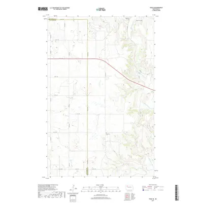
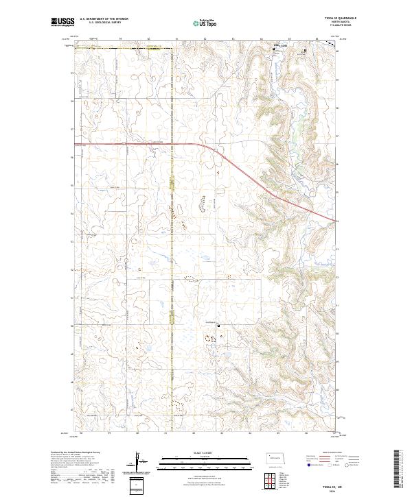
 2014 Tioga SE2014 Print · USGSCovers White Earth, including Williams County, Mountrail County, and other nearby areas
 - 2017 Map of Tioga SE, 2017 Print
 2017 Tioga SE2017 Print · USGSCovers White Earth, including Williams County, Mountrail County, and other nearby areas
 - 2017 Map of White Earth, 2017 Print
 2017 White Earth2017 Print · USGSCovers White Earth, including Mountrail County, United States, and other nearby areas
 - 2020 Map of Tioga SE, 2020 Print
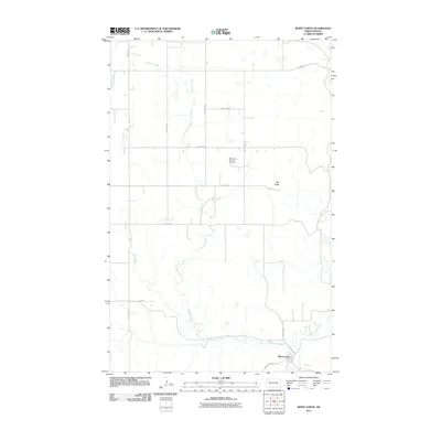
 2020 Tioga SE2020 Print · USGSCovers White Earth, including Williams County, Mountrail County, and other nearby areas
 - 2020 Map of White Earth, 2020 Print
 2020 White Earth2020 Print · USGSCovers White Earth, including Mountrail County, United States, and other nearby areas
 - 2024 Map of White Earth, 2024 Print
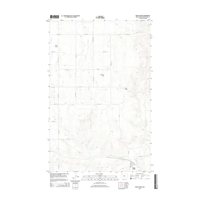
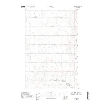
 2024 White Earth2024 Print · USGSMountrail County settlement and prairie hydrology are captured here in the modern era. Genealogists and local historians can trace family plots at Norman Lutheran Cem or follow the winding courses of the White Earth River and Paulsen Creek.
 - 2024 Map of Tioga SE, 2024 Print
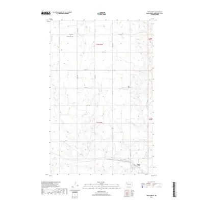
 2024 Tioga SE2024 Print · USGSMountrail and Williams counties appear in this modern survey as a landscape of prairie drainages and deep-rooted community landmarks. Researchers can locate remote burial sites like Kristiansand Cem and White Earth Cem or trace the winding course of the White Earth River.
End of results
Showing maps 1-14 of 14
Top cities near White Earth
- Tioga historical maps
- Powers Lake historical maps
- Battleview historical maps
- Manitou historical maps
- Ross historical maps
Frequently asked questions
- What are the different types of historical maps available for White Earth?
- What is the oldest map of White Earth?
- Where can I purchase historical maps of White Earth for my home or office?
- Where can I download high-res historical maps of White Earth?
- Are there historical topographic maps available for White Earth?
- Is there historical aerial imagery available for White Earth?
- Where are historical maps of White Earth sourced from?