Old Maps of Starkweather, North Dakota for Metal Detecting
Plan your next treasure hunt with 18 historic maps of Starkweather. Find old homesites, ghost towns, trails, and gathering spots that may be lost to time — perfect for identifying promising metal detecting locations.
- Locate forgotten sites: Uncover places like long-lost settlements, abandoned rail lines, or gathering spots.
- Plan better hunts: Use map overlays combined with LiDAR or satellite views to narrow in on historically rich areas.
- Made for detectorists: Thousands of hobbyists use these maps to discover relics, coins, and hidden history.
Use these historic maps to boost your research and find new opportunities beneath the surface of Starkweather.
Starkweather, ND maps
(18)- 1953 Map of Devils Lake, 1968 Print
 1953 Devils Lake1968 Print · USGSNorth Dakota's northern plains are captured here in the mid-fifties, showing a landscape of rail-fed grain elevators and prairie wetlands. Genealogists can locate family landmarks like Rose Hill School, Hurricane Lake Church, and the Turtle Mountain Indian Reservation.3 unique versions available
 - 1956 Map of Devils Lake
 1956 Devils Lake1956 Print · USGSNorthern North Dakota is shown at a mid-century peak of rail-driven agriculture, where the Soo Line and Great Northern railroads cross the prairie. Trace the borders of the Turtle Mountain Indian Reservation and locate local landmarks like Rose Hill School or Camp Grafton.
 - 1962 Map of Starkweather, 1964 Print
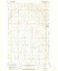 1962 Starkweather1964 Print · USGSThe rural prairie landscape around Starkweather is captured here in the early sixties, showing a region defined by the Great Northern rail line. Researchers can trace the Towner and Ramsey County line or locate local landmarks like Bergen Ch and Davis Slough.
 - 1962 Map of Starkweather NE, 1964 Print
 1962 Starkweather NE1964 Print · USGSRamsey County in the early 1960s reveals a structured agricultural grid defined by the township divisions of Klingstrup and Royal. Genealogists and local historians can trace the town of Starkweather, nearby Calvary Cem, and the waters of Shea Slough.
 - 1985 Map of Devils Lake
 1985 Devils Lake1985 Print · USGSThe Ramsey County lake region is captured here in the mid-1980s as a vital hub of wildlife management and grain transport. Researchers can trace the sprawling boundaries of the Fort Totten Indian Reservation and locate local landmarks like Lake Region Jr College and Whitman Dam.
 - 1993 Map of Devils Lake, 1994 Print
 1993 Devils Lake1994 Print · USGSThe Ramsey County prairie and the shores of Devils Lake are captured here during the 1990s as the region's agricultural and conservation landscapes were maturing. Genealogists and researchers can trace the rail-side growth of Lakota and Michigan or locate family lands near Camp Grafton and the Sullys Hills N W R.
 - 1994 Map of Starkweather
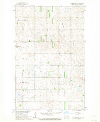
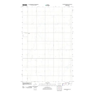
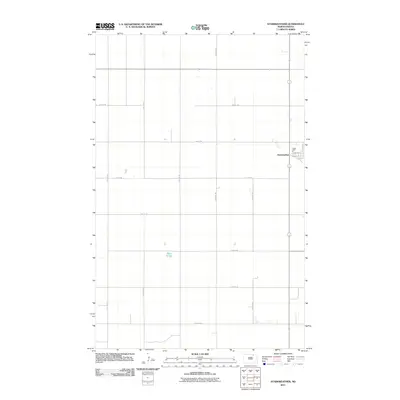
 1994 Starkweather1994 Print · USGSThe town of Starkweather and the surrounding prairie potholes of the Devils Lake basin are captured in this mid-nineties survey. Genealogists and local historians can trace family roots through the Bergen Cem and explore the geography of Hammer and Klingstrup townships.
 - 1994 Map of Starkweather NE
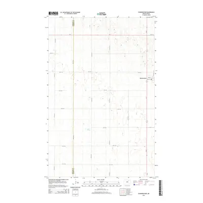
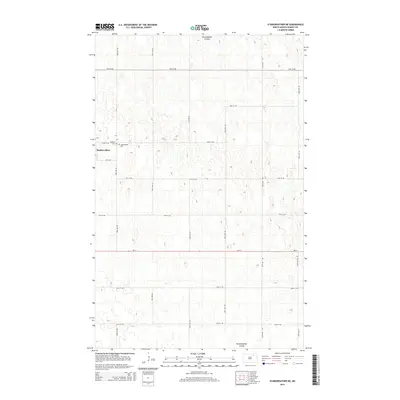
 1994 Starkweather NE1994 Print · USGSRamsey County's agricultural heartland is documented here in the early nineties, showing the organized township grids of the North Dakota plains. Genealogists and local historians can locate Starkweather, the Hofstad Landing Strip, and local burial grounds like Calvary Cem.
 - 2011 Map of Starkweather NE, 2011 Print
 2011 Starkweather NE2011 Print · USGSCovers Starkweather, including Ramsey County, United States, and other nearby areas
 - 2011 Map of Starkweather, 2011 Print
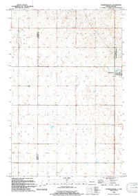
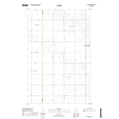
 2011 Starkweather2011 Print · USGSCovers Starkweather, including Towner County, Ramsey County, and other nearby areas
 - 2014 Map of Starkweather, 2014 Print
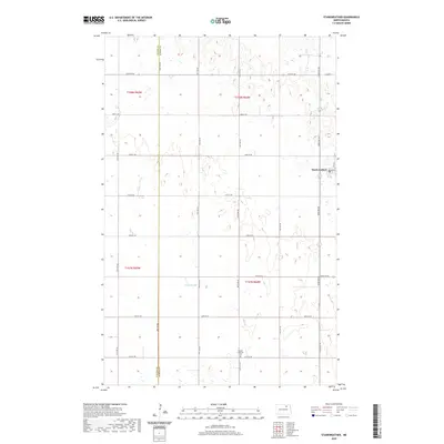
 2014 Starkweather2014 Print · USGSCovers Starkweather, including Towner County, Ramsey County, and other nearby areas
 - 2014 Map of Starkweather NE, 2014 Print
 2014 Starkweather NE2014 Print · USGSCovers Starkweather, including Ramsey County, United States, and other nearby areas
 - 2017 Map of Starkweather, 2017 Print
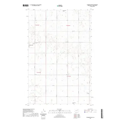
 2017 Starkweather2017 Print · USGSCovers Starkweather, including Towner County, Ramsey County, and other nearby areas
 - 2017 Map of Starkweather NE, 2017 Print
 2017 Starkweather NE2017 Print · USGSCovers Starkweather, including Ramsey County, United States, and other nearby areas
 - 2020 Map of Starkweather, 2020 Print
 2020 Starkweather2020 Print · USGSCovers Starkweather, including Towner County, Ramsey County, and other nearby areas
 - 2020 Map of Starkweather NE, 2020 Print
 2020 Starkweather NE2020 Print · USGSCovers Starkweather, including Ramsey County, United States, and other nearby areas
 - 2024 Map of Starkweather NE, 2024 Print
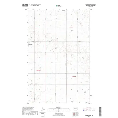
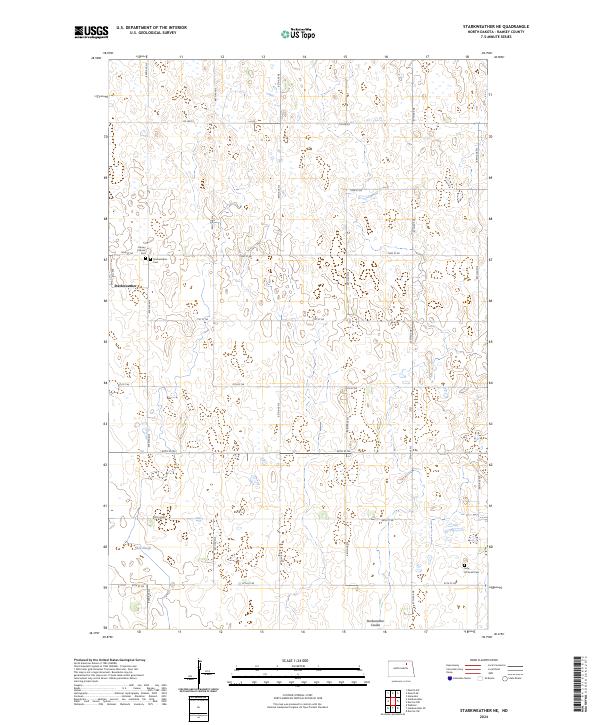 2024 Starkweather NE2024 Print · USGSThe rural landscape of Ramsey County is captured here in the early twenty-first century, centered on the settlement of Starkweather. Genealogists and researchers can find key local landmarks including Starkweather Cem, Calvary Catholic Cem, and the Sons Of Jacob Cem.
 - 2024 Map of Starkweather, 2024 Print
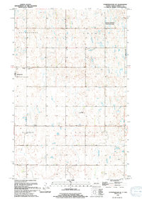
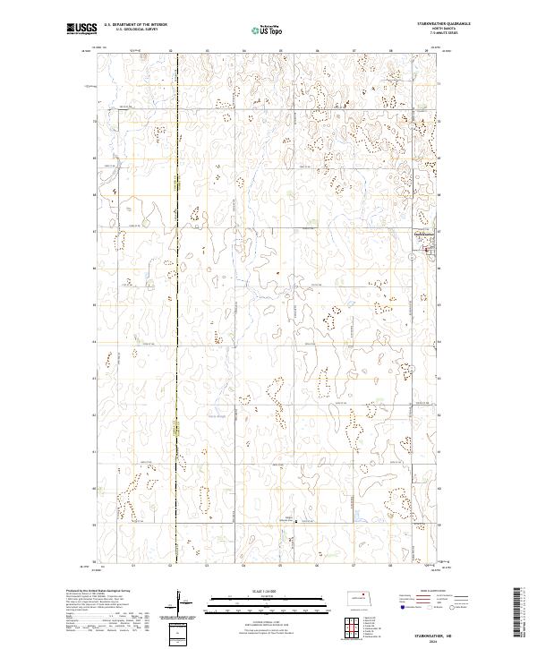 2024 Starkweather2024 Print · USGSThe northern plains around the turn of the millennium are defined by a rhythmic grid of rural section roads and prairie potholes. Genealogists and local researchers can locate Starkweather and the nearby Bergen Lutheran Cem or trace the Towner County line.
End of results
Showing maps 1-18 of 18
Top cities near Starkweather
- Munich historical maps
- Webster historical maps
- Alsen historical maps
- Hampden historical maps
- Egeland historical maps
- Calio historical maps
Frequently asked questions
- What are the different types of historical maps available for Starkweather?
- What is the oldest map of Starkweather?
- Where can I purchase historical maps of Starkweather for my home or office?
- Where can I download high-res historical maps of Starkweather?
- Are there historical topographic maps available for Starkweather?
- Is there historical aerial imagery available for Starkweather?
- Where are historical maps of Starkweather sourced from?