2020s Maps of Renville County, North Dakota
Explore 64 historic maps of Renville County from the 2020s. These maps offer a rare glimpse into what life looked like during the 2020s — showing old roads, neighborhoods, homes, and landmarks that have changed or disappeared over time.
Whether you're researching your family's past, planning a metal detecting trip, or studying how Renville County's landscape evolved across the 2020s, these high-resolution maps are a powerful tool for exploring the history of this region.
- Focus on a specific era: All maps on this page are from the 2020s, giving you a focused view of this time period.
- See what’s changed: Compare century-old streets, trails, and buildings to today's modern landscape using overlays and satellite layers.
- Research with precision: Use these maps for genealogy, historical research, land use analysis, or educational projects.
- View, download, or print: Maps are fully viewable online in high resolution, and can be downloaded or printed for your own records.
Start exploring Renville County's history through authentic maps from the 2020s. This is your window into the past.
Renville County, ND maps
(64)- 2020 Map of Burlington NE, 2020 Print
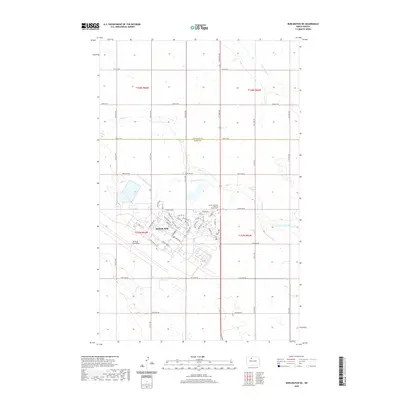 2020 Burlington NE2020 Print · USGSThe northern plains of Ward County are captured here in 2020, centered on the strategic layout of Minot Air Force Base. Trace the military-themed street names like Missile Ave and Bomber Blvd or locate the Lynch Immanuel Lutheran Church Cem.
 - 2020 Map of Grano, 2020 Print
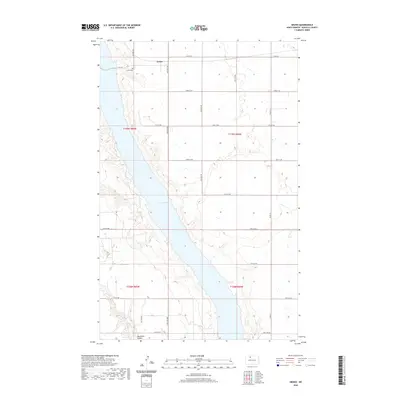 2020 Grano2020 Print · USGSThe North Dakota prairie meets the winding waters of Lake Darling in this modern survey of Renville County. Local researchers can trace the rural landscape around Grano, locating the Grano Cem and the drainage of Mackobee Coulee among the section lines.
 - 2020 Map of Mouse River Park NW, 2020 Print
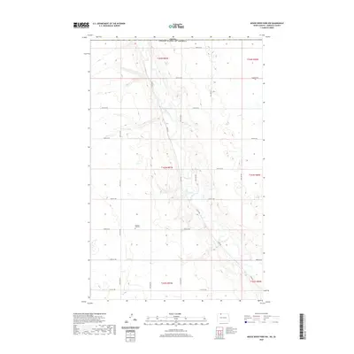 2020 Mouse River Park NW2020 Print · USGSRenville County at the Canadian border is captured here in the 2020s, showing the high-plains geography of the Mouse River loop. Researchers can locate family landmarks like Wigdahl Cem and Pleasant View Cem along the winding Souris River.
 - 2020 Map of Deering, 2020 Print
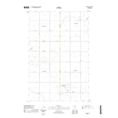 2020 Deering2020 Print · USGSAgricultural life in North Dakota is captured here during the twenty-first century as the borders of Ward, McHenry, and Renville counties meet. Genealogists and local historians can trace family roots through Nidaros Lutheran Cem or locate the settlement of Wolseth along the prairie roads.
 - 2020 Map of Mohall, 2020 Print
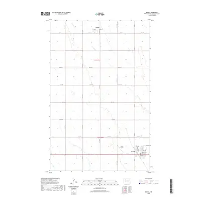 2020 Mohall2020 Print · USGSRenville County is shown in this recent survey, centered on the civic and transit hub of Mohall. Researchers can trace local landmarks and infrastructure from the Renville County Courthouse to the Loraine Cem and Mohall Municipal Airport.
 - 2020 Map of Glenburn, 2020 Print
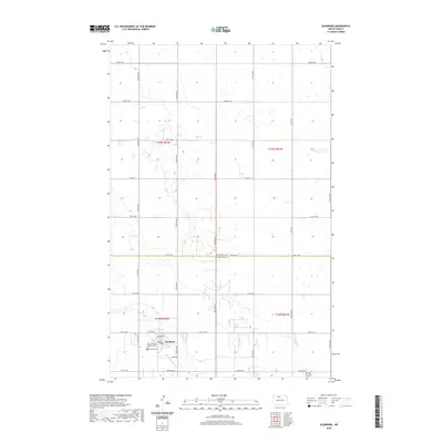 2020 Glenburn2020 Print · USGSNorth Dakota's northern prairies are shown in the twenty-first century, centered on the rural hub of Glenburn. Genealogists can locate Fairview Cem, Saint Philomena Catholic Cem, and the nearby settlement of Judy Strip.
 - 2020 Map of Carpio NE, 2020 Print
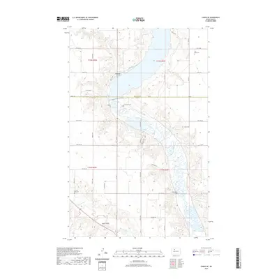 2020 Carpio NE2020 Print · USGSNorth Dakota's northern river valleys are preserved here in the late twenty-teens, showing the confluence of the Souris River and Des Lacs River. Genealogists and local historians can locate Saint Henrys Cem and the Saint Marys Bridge.
 - 2020 Map of Bowbells NE, 2020 Print
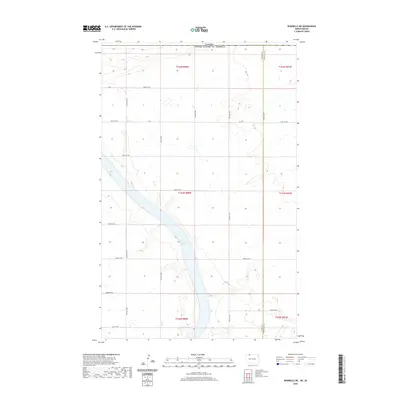 2020 Bowbells NE2020 Print · USGSThe international borderlands of Burke and Renville counties are shown here as they appeared recently, centered on the waters of Upper Des Lacs Lake. Researchers can trace the section-line road network, such as Co 2 and 101st St Nw, where they meet the Canadian border.
 - 2020 Map of Tolley, 2020 Print
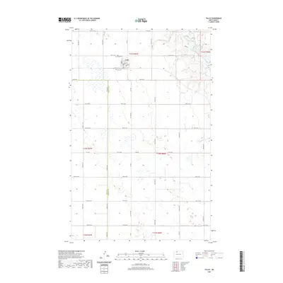 2020 Tolley2020 Print · USGSTolley and the surrounding North Dakota prairie are captured in this recent survey, showcasing the enduring section-line grid of the Great Plains. Genealogists can locate Saint Charles Cem and Trinity Cem near the town center of Tolley.
 - 2020 Map of Grano NE, 2020 Print
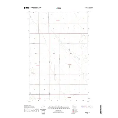 2020 Grano NE2020 Print · USGSRenville County in the late twenty-teens remains a landscape of precise agricultural grids and prairie waterways. Researchers can trace the path of Little Deep Cr and the rural road network including Co Rd 9 and 87th St NW.
 - 2020 Map of Antler NW, 2020 Print
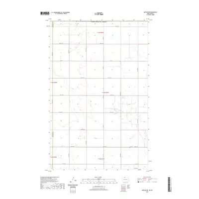 2020 Antler NW2020 Print · USGSThe international border meets the North Dakota prairie in this 2020 survey of Bottineau County. Genealogists and local historians can locate the Haas Cem and trace the section-line roads like 109th St NW that define this rural borderland.
 - 2020 Map of Burlington NW, 2020 Print
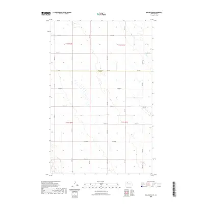 2020 Burlington NW2020 Print · USGSWard and Renville counties meet in this agricultural landscape during the early twenty-first century. Researchers can trace the perimeter of Minot Air Force Base and follow the path of Egg Cr through a network of section-line roads like Co Rd 6.
 - 2020 Map of Bowbells SE, 2020 Print
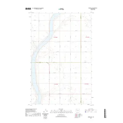 2020 Bowbells SE2020 Print · USGSThe Burke and Ward county borderlands are shown here in the contemporary era, centered on the eastern shore of the Upper Des Lacs Lake. Researchers can trace the section-line roads and rural corridors like 96th St NW and 506th St NW.
 - 2020 Map of Mohall NE, 2020 Print
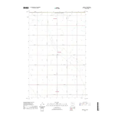 2020 Mohall NE2020 Print · USGSRenville County farmland is captured here in the contemporary era, showing the enduring agricultural geometry of the North Dakota prairie. Genealogists and local historians can locate the Eden Valley Cemetery and trace the paths of Cut Bank Creek and County Road 9 N.
 - 2020 Map of Antler SW, 2020 Print
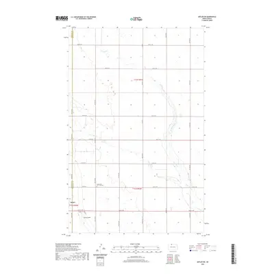 2020 Antler SW2020 Print · USGSThe prairie landscape around the Renville and Bottineau county line comes into focus in this recent survey. Researchers can trace family history through sites like Brotherhood Cem / Zoar Cem and the outskirts of Mohall, or follow the banks of Cut Bank Creek.
 - 2020 Map of Norma, 2020 Print
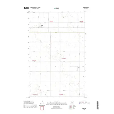 2020 Norma2020 Print · USGSRenville and Ward Counties appear here as they were in 2020, showcasing a classic North Dakota landscape of section-line roads and prairie wetlands. Genealogists and local historians can trace the grid around Norma or locate the rural Bodmer Airport and various county routes like Co Hwy 3.
 - 2020 Map of Carpio, 2020 Print
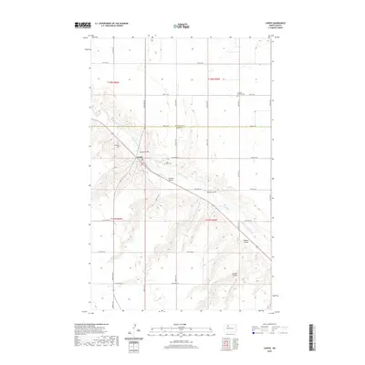 2020 Carpio2020 Print · USGSNorth Dakota's northern prairie is documented here as it appeared recently, centered on the river valley settlement of Carpio. Researchers can trace local genealogy and land use across the Des Lacs River near Nazareth Lutheran Ch and Saint Johns Cem.
 - 2020 Map of Mohall SW, 2020 Print
 2020 Mohall SW2020 Print · USGSRenville County's agricultural grid and prairie drainages are meticulously documented in this recent survey. Genealogists can locate significant local landmarks like Saint Johns United Lutheran Cem and Hamerly Lutheran Cem along the quiet path of Little Deep Creek.
 - 2020 Map of Mouse River Park, 2020 Print
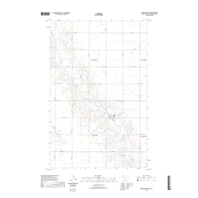 2020 Mouse River Park2020 Print · USGSRenville County, North Dakota, is defined by the winding valley of the Souris River in this modern survey. Genealogists and researchers can locate McKinney Cem and trace the paths of the Centennial Wildlife Nature Trail near Mouse River Park.
 - 2020 Map of Sherwood, 2020 Print
 2020 Sherwood2020 Print · USGSThe northern plains meet the international border in this 2020 study of the area surrounding Sherwood. Genealogists and local historians can trace the grid of section roads and find local burial grounds like Sherwood Union Cem and Saint John Cem.
 - 2020 Map of Deering NW, 2020 Print
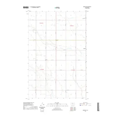 2020 Deering NW2020 Print · USGSThe prairie landscape of Ward and Renville Counties comes into focus in this recent survey of the North Dakota plains. Genealogists and local historians can locate the Bethany Lutheran Cemetery and trace the winding paths of Little Deep Creek and Egg Creek.
 - 2020 Map of Grano SW, 2020 Print
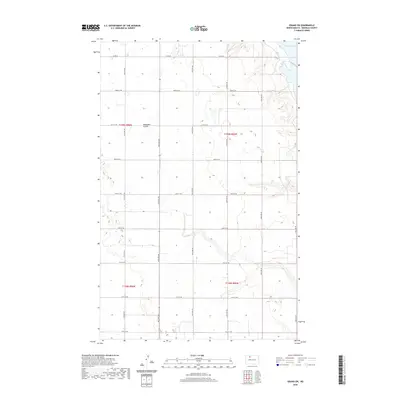 2020 Grano SW2020 Print · USGSRenville County is shown at the start of the 2020s as a landscape of structured prairie and vast water. Researchers can trace the section-line roads and natural drainage features like Mackobee Coulee and the shoreline of Lake Darling.
 - 2020 Map of Hartland, 2020 Print
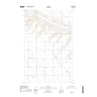 2020 Hartland2020 Print · USGSThe rural landscapes of Ward and Renville Counties come into focus in this recent study of the North Dakota prairie. Genealogists and historians can trace local family roots through sites like Hillside Cemetery, Johnson Cemetery, and the Des Lacs River valley.
 - 2020 Map of Mouse River Park NE, 2020 Print
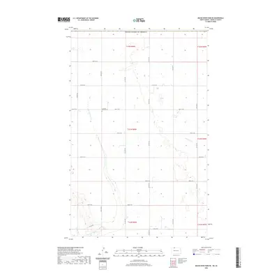 2020 Mouse River Park NE2020 Print · USGSNorthern North Dakota prairie land is mapped here during the early twenty-first century, showing the rural grid near the Canadian border. Genealogists and local researchers can locate Prosperity Township Cem and trace the paths of Sevenmile Coulee and Little Deep Cr.
 - 2020 Map of Lansford SE, 2020 Print
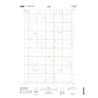 2020 Lansford SE2020 Print · USGSThe rural landscapes of Bottineau and Renville counties are shown here as they appeared in the early twenty-first century. Researchers can locate the town of Lansford, the settlement of Forfar, and the historic Shook Cemetery.
Showing maps 1-25 of 64
Top cities of Renville County
- Mohall historical maps
- Glenburn historical maps
- Sherwood historical maps
- Tolley historical maps
- Loraine historical maps
- Grano historical maps
Frequently asked questions
- What are the different types of historical maps available for Renville County?
- What is the oldest map of Renville County?
- Where can I purchase historical maps of Renville County for my home or office?
- Where can I download high-res historical maps of Renville County?
- Are there historical topographic maps available for Renville County?
- Is there historical aerial imagery available for Renville County?
- Where are historical maps of Renville County sourced from?