Old Maps of Renville County, North Dakota for Academic Research
Study the evolution of Renville County with 214 high-resolution historic maps. Whether you're teaching, researching, or modeling changes in land use, these maps provide essential visual documentation of urban, environmental, and geographic change.
- Analyze long-term change: Track patterns in development, transportation, and natural features.
- Ideal for environmental or urban studies: Support academic projects with primary historical map data.
- Use in the classroom or lab: Educators and researchers rely on these maps to bring historical context to life.
These maps are a powerful tool for teaching, research, and visualizing how Renville County has changed over the decades.
Renville County, ND maps
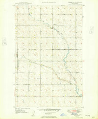
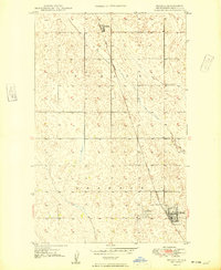
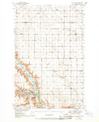
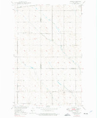
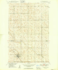
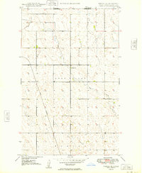
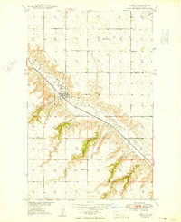
(214)- 1947 Map of Tolley, 1963 Print
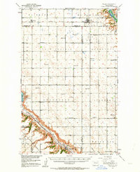 1947 Tolley1963 Print · USGSThe North Dakota prairie near the Mouse River comes to life in this post-war survey of Renville and Ward Counties. Genealogists and local historians can trace rural school locations and family burial sites like Greenbush Cem or St Anthony Cem, while tracking the path of the Great Northern railroad.
 - 1948 Map of Kenmare
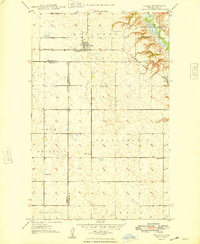
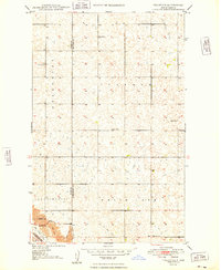
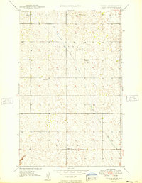
 1948 Kenmare1948 Print · USGSKenmare and its surrounding townships are shown in the late 1940s, situated along the river valley and its expansive bird refuge. Genealogists and local historians can trace family-named sites like Rose Hill Cem and Denmark Sch No 1.2 unique versions available
 - 1948 Map of Norma
 1948 Norma1948 Print · USGSIn the late 1940s, this portion of the North Dakota plains was defined by its railroad connectivity and a network of rural school districts. Genealogists can trace family footprints near the Town Hall or locate specific holdings by School No 1 and Norma.2 unique versions available
 - 1948 Map of Mouse River Park NW
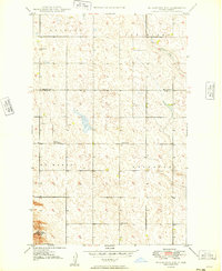
 1948 Mouse River Park NW1948 Print · USGSRenville County farm country is centered on the Souris River Valley in the late 1940s. Genealogists can locate family landmarks like Pleasant View Cem, Edson Ch, and several numbered country schoolhouses.
 - 1948 Map of Dokken SW
 1948 Dokken SW1948 Print · USGSThe northern plains of Bottineau and Renville counties are captured here in the late 1940s as the local creek system converges. Genealogists can locate family burial sites at Brotherhood Cem and Mohall Cem or trace the placement of School No 1.3 unique versions available
 - 1948 Map of Mohall
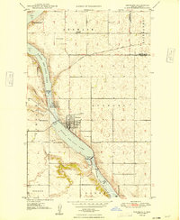
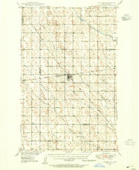
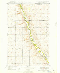
 1948 Mohall1948 Print · USGSRenville County, North Dakota, was a landscape of rail-linked prairie towns and grain fields just after the war. Researchers can trace the path of the Great Northern railway as it passes through Mohall and north toward the settlement of Loraine.2 unique versions available
 - 1948 Map of Tolley
 1948 Tolley1948 Print · USGSRenville and Ward counties are captured here in the late 1940s as the railroad and the Souris River defined the local economy. Genealogists and historians can trace family roots through the placement of Trinity Cem, the village of Tolley, and several rural schoolhouses like School No. 4.
 - 1948 Map of Lansford, 1955 Print
 1948 Lansford1955 Print · USGSNorth Dakota's northern prairie is captured here during the post-war era, showing a landscape defined by vital rail junctions and rural schoolhouses. Researchers can trace family history through sites like Lansford, St Johns Cem, and Graham Sch.3 unique versions available
 - 1948 Map of Burlington, 1968 Print
 1948 Burlington1968 Print · USGSWard County's river valleys and prairie townships are captured here at the close of the 1940s as the regional irrigation and rail networks matured. Genealogists can locate specific rural landmarks including Graham Sch, North Prairie Ch, and the many numbered schools of Eureka and Tatman.
 - 1948 Map of Lansford SW, 1976 Print
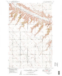
 1948 Lansford SW1976 Print · USGSRenville and Bottineau counties appear here in the late 1940s, showing a prairie landscape shaped by the Soo Line and seasonal creeks. Researchers can locate the Lansford Cem and rural landmarks like Olsen School and Graham School.
 - 1949 Map of Tolley SE
 1949 Tolley SE1949 Print · USGSNorth Dakota's rural heartland is captured here in the late 1940s, showing a landscape of spread-out farmsteads and township life. Genealogists can trace family roots at Greenbush Cem or locate the old White Ash Sch along the Des Lacs River.
 - 1949 Map of Burlington NW
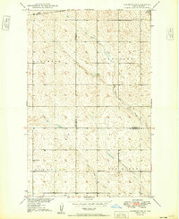
 1949 Burlington NW1949 Print · USGSThe Ward and Renville county line in the late 1940s is a landscape of scattered rural schoolhouses and prairie pothole terrain. Genealogists and local historians can trace the foundations of the community through several district schools, including Stamen School No 2 and School No 4.3 unique versions available
 - 1949 Map of Glenburn
 1949 Glenburn1949 Print · USGSThe settlement of Glenburn and the surrounding prairie are captured here during the post-war expansion of the late 1940s. Genealogists and local historians can locate Fairview Cem, the Great Northern tracks, and several rural schoolhouses.2 unique versions available
 - 1949 Map of Lansford NW
 1949 Lansford NW1949 Print · USGSNorth Dakota's northern plains are captured here in the late 1940s, highlighting a landscape defined by the intersection of major rail lines. Researchers can trace the routes of the Great Northern and locate community sites like Blaine Sch and St Johns Cem.
 - 1949 Map of Mohall SW
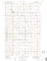
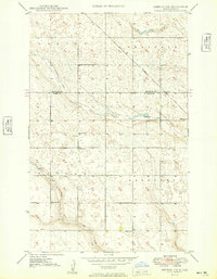
 1949 Mohall SW1949 Print · USGSRenville County, North Dakota, is captured here in the late 1940s, showcasing a rural landscape organized by township lines and section roads. Genealogists can locate specific local landmarks like St Johns Church and the numbered school sites, including School No 1 and School No 3.2 unique versions available
 - 1949 Map of Hartland
 1949 Hartland1949 Print · USGSWard and Renville Counties are captured here in the late forties, showing a prairie landscape defined by rail lines and rural schools. You can trace the Great Northern tracks through Hartland and locate local landmarks like Viola School No 1 and St Anthony Cem.2 unique versions available
 - 1949 Map of Lansford SW
 1949 Lansford SW1949 Print · USGSNorth Dakota's northern plains are captured here in the late 1940s as a landscape of structured townships and vital rail connections. Researchers can locate rural landmarks like the Olsen School and Graham School or trace the Soo Line through Lansford.
 - 1949 Map of Mohall NE
 1949 Mohall NE1949 Print · USGSRenville County sits along the Canadian border in the late 1940s, a landscape defined by prairie townships and international boundaries. You can trace the path of the Great Northern railroad or locate local landmarks like School No 1 and Eden Valley Cem.
 - 1949 Map of Mouse River Park NW
 1949 Mouse River Park NW1949 Print · USGSRenville County sits along the international border in the late 1940s, where the winding river valley cuts through the high prairie. Researchers can locate numerous rural schoolhouses like Stafford Sch No 1 or trace family sites near Pleasant View Cem.
 - 1949 Map of Deering NW
 1949 Deering NW1949 Print · USGSThe Ward and Renville County line in the late 1940s is captured here, showing a rural landscape defined by prairie watercourses and the Great Northern rail. Genealogists can locate family landmarks such as Bethany Ch and local schools including School No 2.
 - 1949 Map of Carpio NE
 1949 Carpio NE1949 Print · USGSThe Renville and Ward County borderlands in the late 1940s show a landscape shaped by river management and rural settlement. Trace the history of local families at St Henrys Cemetery or follow the railroad line past School No 3 and St Marys Bridge.2 unique versions available
 - 1949 Map of Carpio
 1949 Carpio1949 Print · USGSWard and Renville Counties are captured here shortly after the war, showing the Des Lacs River valley as it was before modern changes. Genealogists can trace family roots through local landmarks like Skarsbo Sch, Nazareth Ch, and St Johns Cem.4 unique versions available
 - 1949 Map of Grano SW
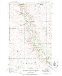
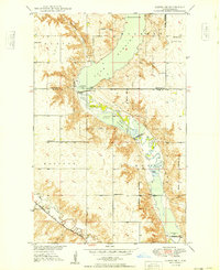
 1949 Grano SW1949 Print · USGSRenville County's prairie and river basin are captured here just after the war, showing the early management of the Souris River valley. Genealogists can locate family-named townships and rural landmarks like Gethsemane Ch, School No 1, and the waters of Lake Darling.2 unique versions available
 - 1949 Map of Bowbells SE
 1949 Bowbells SE1949 Print · USGSNorth Dakota's northern plains are captured here just after the war, showing a landscape defined by the Des Lacs Migratory Bird Refuge. Local historians can trace early section-line roads to Nine Mile Corner and the Lake View School No 2.
 - 1949 Map of Sherwood
 1949 Sherwood1949 Print · USGSThe North Dakota borderlands come into focus in the years after the war, centered on the international crossing at Sherwood. Genealogists and local historians can trace the town’s grid, the Great Northern rail line, and sites like Union Cem and the Lutheran Cem.
Showing maps 1-25 of 214
Top cities of Renville County
- Mohall historical maps
- Glenburn historical maps
- Sherwood historical maps
- Tolley historical maps
- Loraine historical maps
- Grano historical maps
Frequently asked questions
- What are the different types of historical maps available for Renville County?
- What is the oldest map of Renville County?
- Where can I purchase historical maps of Renville County for my home or office?
- Where can I download high-res historical maps of Renville County?
- Are there historical topographic maps available for Renville County?
- Is there historical aerial imagery available for Renville County?
- Where are historical maps of Renville County sourced from?