2020s Maps of Richland County, North Dakota
Explore 87 historic maps of Richland County from the 2020s. These maps offer a rare glimpse into what life looked like during the 2020s — showing old roads, neighborhoods, homes, and landmarks that have changed or disappeared over time.
Whether you're researching your family's past, planning a metal detecting trip, or studying how Richland County's landscape evolved across the 2020s, these high-resolution maps are a powerful tool for exploring the history of this region.
- Focus on a specific era: All maps on this page are from the 2020s, giving you a focused view of this time period.
- See what’s changed: Compare century-old streets, trails, and buildings to today's modern landscape using overlays and satellite layers.
- Research with precision: Use these maps for genealogy, historical research, land use analysis, or educational projects.
- View, download, or print: Maps are fully viewable online in high resolution, and can be downloaded or printed for your own records.
Start exploring Richland County's history through authentic maps from the 2020s. This is your window into the past.
Richland County, ND maps
(87)- 2020 Map of Wahpeton, 2020 Print
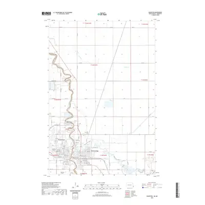 2020 Wahpeton2020 Print · USGSThe border towns of Wahpeton and Breckenridge sit at the strategic meeting of the Otter Tail River and the Bois de Sioux River. Genealogists and local historians can trace the urban development around Saint Marys Cem and the Harry Stern Airport at the headwaters of the Red River.
 - 2020 Map of Fairmount, 2020 Print
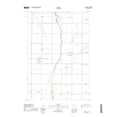 2020 Fairmount2020 Print · USGSRichland County, North Dakota, sits at the Minnesota border in this study of the Red River Valley's edge. Researchers can locate family plots at Fairmount Cem or Pleasant Hill Cem and trace the winding Bois de Sioux River and the small settlement of Childs.
 - 2020 Map of Walcott, 2020 Print
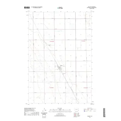 2020 Walcott2020 Print · USGSRichland County at the start of the 2020s shows a landscape of precise agricultural sections and steady rural life. Genealogists and hikers can trace the N Country National Scenic Trail as it passes near Walcott and the local Walcott Cem.
 - 2020 Map of Dwight, 2020 Print
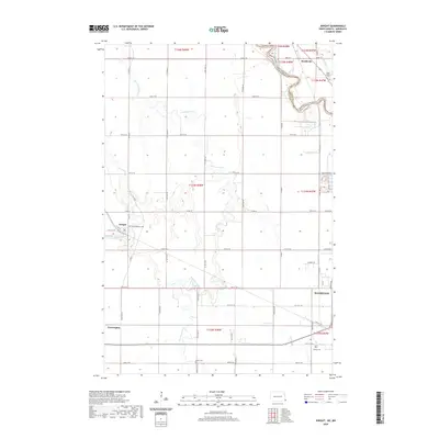 2020 Dwight2020 Print · USGSRichland County, North Dakota, is mapped here as it appeared in 2020, centered on the fertile prairie between the Red River and the Wild Rice River. Genealogists can locate family sites near Dwight, Brushvale, and Faith Lutheran Cem.
 - 2020 Map of Hankinson SE, 2020 Print
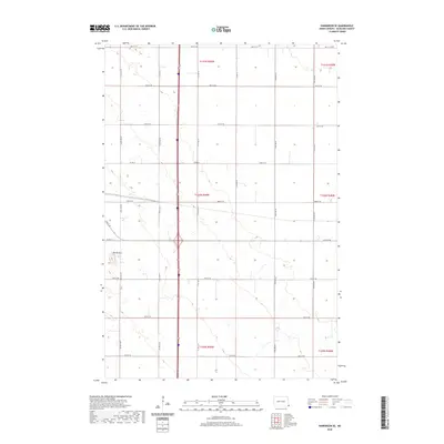 2020 Hankinson SE2020 Print · USGSRichland County at the start of the 2020s shows a landscape defined by its grid and subtle elevation changes. Researchers can trace the section-line roads of the agricultural heartland and explore the unique terrain around Devils Nest or the corridor of Co Rd 15.
 - 2020 Map of Sonora, 2020 Print
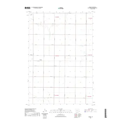 2020 Sonora2020 Print · USGSRichland County at the start of the 2020s remains a landscape of deep-rooted agricultural tradition and quiet prairie settlements. Researchers can trace the layout of small communities like Sonora and Oswald or find family markers at Saint Josephs Cem.
 - 2020 Map of Great Bend, 2020 Print
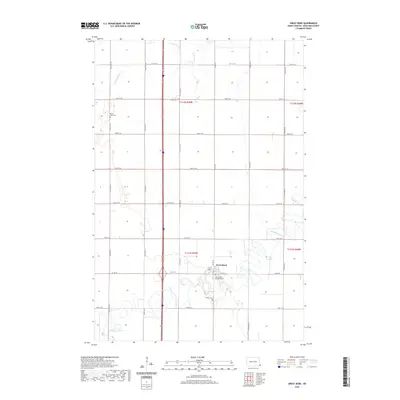 2020 Great Bend2020 Print · USGSRichland County at the turn of the decade reveals a precisely organized landscape of prairie farming and riverside settlements. Genealogists can trace family footprints at Divet Farm Cem, Trinity Cem, and Zion United Methodist Cem near the banks of the Wild Rice River.
 - 2020 Map of Mooreton West, 2020 Print
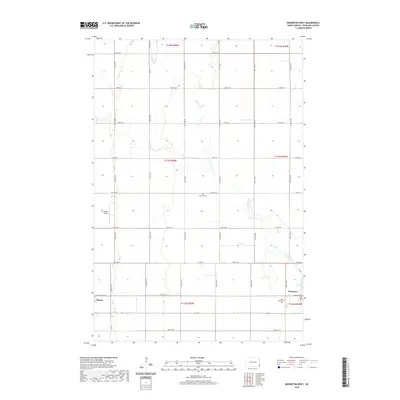 2020 Mooreton West2020 Print · USGSThe rural agricultural lands of Richland County are captured here in the early twenty-first century. Genealogists and local historians can locate Antelope Cemetery and Saint Anthony's Cemetery, or trace the tracks around Barney and Mooreton.
 - 2020 Map of Mooreton East, 2020 Print
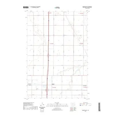 2020 Mooreton East2020 Print · USGSRichland County, North Dakota, is captured here in the early twenty-first century as a landscape of structured prairie and vital waterways. Genealogists and local historians can trace the area around Mooreton, the Saint Paul's Cem, and the winding Antelope Creek.
 - 2020 Map of Galchutt, 2020 Print
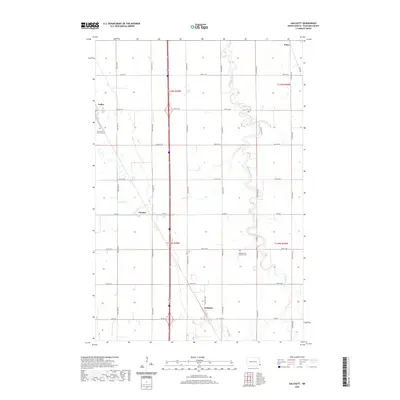 2020 Galchutt2020 Print · USGSRichland County at the turn of the 2020s shows a landscape of precise section lines and meandering prairie waterways. Genealogists can locate family landmarks at Our Saviors Lutheran Cem or trace the early settlement sites of Galchutt and Pitcairn.
 - 2020 Map of Mantador, 2020 Print
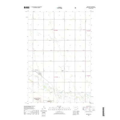 2020 Mantador2020 Print · USGSRichland County at the turn of the decade shows the intersection of prairie preservation and small-town agriculture. Trace the landscape from Mantador down to the Sheyenne National Grassland and find local landmarks like Calvary Cem.
 - 2020 Map of Abercrombie, 2020 Print
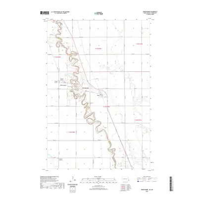 2020 Abercrombie2020 Print · USGSThe Red River Valley in the twenty-first century remains defined by its winding waterways and deep-rooted prairie settlements. Genealogists can trace family sites at Fort Abercrombie Post Cem, McCauleyville, and Saint Johns Lutheran Church Cem.
 - 2020 Map of Hankinson, 2020 Print
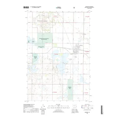 2020 Hankinson2020 Print · USGSSoutheastern North Dakota comes into focus during the early twenty-first century as the city of Hankinson sits amidst a landscape of conservation lands and glacial lakes. Genealogists can locate several burial grounds including Immanuel Lutheran Cem and United Cem, while others may trace the shorelines of Lake Elsie or Stacks Slough.
 - 2020 Map of Christine, 2020 Print
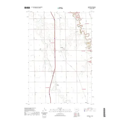 2020 Christine2020 Print · USGSThe Red River Valley's agricultural heartland is documented here in the early twenty-first century, showing the winding paths of the Wild Rice River and Red River of the North. Genealogists can locate numerous small burial sites like Pioneer Cem, South Pleasant Cem, and Eagle Cem.
 - 2020 Map of Fairmount NW, 2020 Print
 2020 Fairmount NW2020 Print · USGSSoutheast North Dakota's agricultural heartland is documented here in the early twenty-first century, showing the precise township and range system. Genealogists can locate Saint John's Lutheran Cem and trace the path of the Wild Rice River.
 - 2020 Map of Hickson, 2020 Print
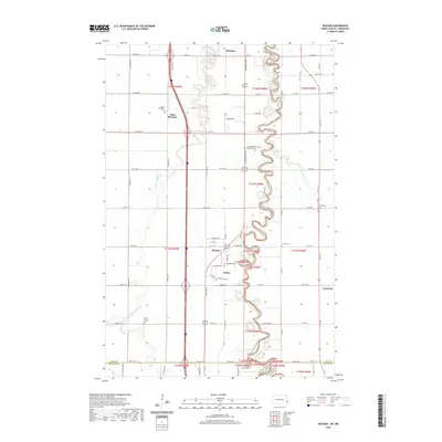 2020 Hickson2020 Print · USGSThe Red River Valley south of Fargo is seen here in the 2020s, showing a landscape defined by the winding Red River of the North. Genealogists and historians can trace the rural communities of Saint Benedict and Oxbow along with several local burial sites like Clara Cem.
 - 2020 Map of Mooreton NW, 2020 Print
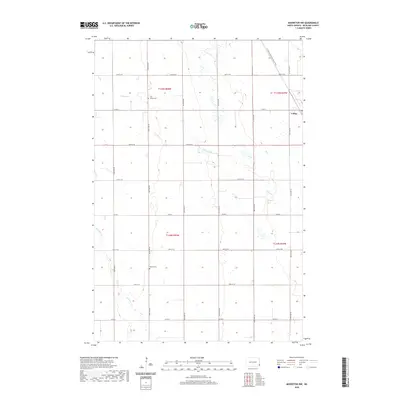 2020 Mooreton NW2020 Print · USGSRichland County at the turn of the decade is captured here in this detailed topographic record of the Red River Valley. Genealogists can trace family footprints at Zion United Cem and Stearns Cem or follow the route of the N Country National Scenic Trail past Colfax.
 - 2020 Map of Kreiser Lake, 2020 Print
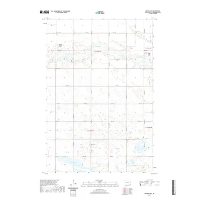 2020 Kreiser Lake2020 Print · USGSRichland County, North Dakota, is captured in this contemporary survey of its fertile, wetland-rich prairie. Genealogists and local historians can locate family burial sites at Otterburn Cem and Elk Creek Cem or trace the winding course of the Wild Rice River.
 - 2020 Map of Leonard, 2020 Print
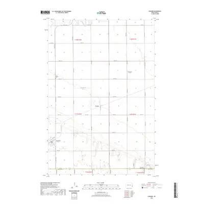 2020 Leonard2020 Print · USGSThe rural Cass County landscape near Leonard is captured here in its contemporary agricultural form. Genealogists and local historians can trace family locations near the Bethel Moravian Cem or follow the Maple River through the heart of the township.
 - 2020 Map of New Effington NW, 2020 Print
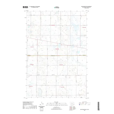 2020 New Effington NW2020 Print · USGSThe border between North Dakota and South Dakota comes alive on this survey of Roberts and Richland counties during the twenty-first century. Genealogists and local researchers can locate rural landmarks like the Bohemian Cem, Thompson Cem, and the waters of Big Slough.
 - 2020 Map of Swan Lake, 2020 Print
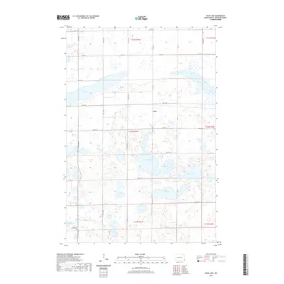 2020 Swan Lake2020 Print · USGSRichland County at the turn of the decade is captured here through its network of sloughs and small prairie settlements. Genealogists and local historians can locate Stiles and the Immanuel Lutheran Cem, or trace the shores of Swan Lake.
 - 2020 Map of Wyndmere NE, 2020 Print
 2020 Wyndmere NE2020 Print · USGSGarborg Township and the surrounding Richland County plains are captured here in the early twenty-first century. Genealogists and local historians can locate several family and community burial sites, such as Viking Cem, Tuholke Cem, and Gol Aal Cem.
 - 2020 Map of Kindred, 2020 Print
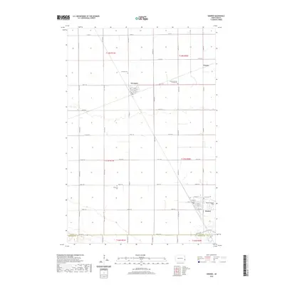 2020 Kindred2020 Print · USGSThe Red River Valley lowlands around Kindred and Davenport are shown in detail here during the twenty-first century. Genealogists and local historians can trace rural roots at Christiania Cem or Immanuel German Lutheran Cem and locate landmarks like Robert Odegaard Field.
 - 2020 Map of Claire City NE, 2020 Print
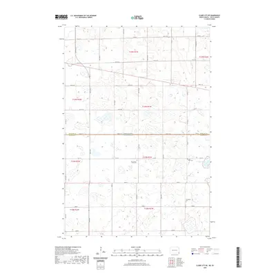 2020 Claire City NE2020 Print · USGSThe borderlands of North Dakota and South Dakota are captured here in the early twenty-first century, showing a landscape defined by prairie wetlands. Genealogists can locate significant burial sites like Zion Lutheran Church Cem and Ferkingstad Cem near the Indian Slough.
 - 2020 Map of Barrie, 2020 Print
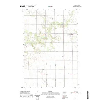 2020 Barrie2020 Print · USGSRichland County's rural landscape is defined by the winding Sheyenne River and a rigid grid of section roads in this recent survey. Local historians and genealogists can pinpoint the locations of Barrie Cem and Gol Cem, alongside private flight strips like Odegard Airport.
Showing maps 1-25 of 87
Top cities of Richland County
- Wahpeton historical maps
- Hankinson historical maps
- Lidgerwood historical maps
- Wyndmere historical maps
- Fairmount historical maps
- Abercrombie historical maps
See more
Frequently asked questions
- What are the different types of historical maps available for Richland County?
- What is the oldest map of Richland County?
- Where can I purchase historical maps of Richland County for my home or office?
- Where can I download high-res historical maps of Richland County?
- Are there historical topographic maps available for Richland County?
- Is there historical aerial imagery available for Richland County?
- Where are historical maps of Richland County sourced from?