Old Maps of City of Tioga, North Dakota for Metal Detecting
Plan your next treasure hunt with 14 historic maps of City of Tioga. Find old homesites, ghost towns, trails, and gathering spots that may be lost to time — perfect for identifying promising metal detecting locations.
- Locate forgotten sites: Uncover places like long-lost settlements, abandoned rail lines, or gathering spots.
- Plan better hunts: Use map overlays combined with LiDAR or satellite views to narrow in on historically rich areas.
- Made for detectorists: Thousands of hobbyists use these maps to discover relics, coins, and hidden history.
Use these historic maps to boost your research and find new opportunities beneath the surface of City of Tioga.
City of Tioga, ND maps
(14)- 1953 Map of Williston, 1968 Print
 1953 Williston1968 Print · USGSThe North Dakota high plains meet the waters of Sakakawea Lake in this mid-century survey of the northern borderlands. Trace the rail-and-ranch economy through sites like Anderson Sky Ranch, Sevenmile Corner, and the strip mines near Columbus.2 unique versions available
 - 1957 Map of Williston
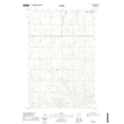
 1957 Williston1957 Print · USGSNorthwestern North Dakota is shown here during the mid-fifties, dominated by the sweeping plains and the Missouri River valley. Genealogists and local historians can trace the paths of the Great Northern railroad through Williston, Tioga, and Ray, or locate early industry like the coal strip mines near Lignite.
 - 1979 Map of Tioga SW
 1979 Tioga SW1979 Print · USGSWilliams County oil country is captured here in the late seventies during a peak era of energy development. Genealogists and researchers can locate Bethany Cem, Trinity Ch, and the rural community of Haugen amidst the Beaver Lodge Oil and Gas Field.
 - 1979 Map of Tioga
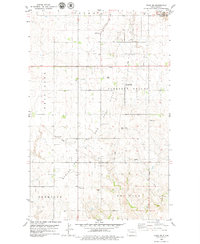
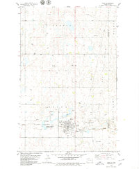 1979 Tioga1979 Print · USGSTioga sits at the center of the North Dakota oil patch during the late seventies, showing a landscape defined by petroleum extraction and prairie agriculture. Genealogists and local historians can locate Bakken Cemetery, the Gas Processing Plant, and the path of the Burlington Northern railroad.
 - 2011 Map of Tioga SW, 2011 Print
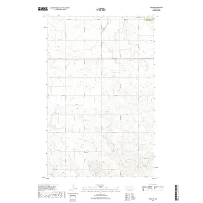
 2011 Tioga SW2011 Print · USGSCovers City of Tioga, including Williams County, Mountrail County, and other nearby areas
 - 2011 Map of Tioga, 2011 Print
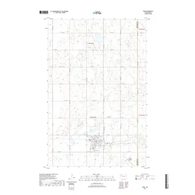
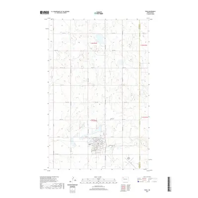
 2011 Tioga2011 Print · USGSCovers City of Tioga, including Tioga, Williams County, and other nearby areas
 - 2014 Map of Tioga, 2014 Print
 2014 Tioga2014 Print · USGSCovers City of Tioga, including Tioga, Williams County, and other nearby areas
 - 2014 Map of Tioga SW, 2014 Print
 2014 Tioga SW2014 Print · USGSCovers City of Tioga, including Williams County, Mountrail County, and other nearby areas
 - 2017 Map of Tioga, 2017 Print
 2017 Tioga2017 Print · USGSCovers City of Tioga, including Tioga, Williams County, and other nearby areas
 - 2017 Map of Tioga SW, 2017 Print
 2017 Tioga SW2017 Print · USGSCovers City of Tioga, including Williams County, Mountrail County, and other nearby areas
 - 2020 Map of Tioga SW, 2020 Print
 2020 Tioga SW2020 Print · USGSCovers City of Tioga, including Williams County, Mountrail County, and other nearby areas
 - 2020 Map of Tioga, 2020 Print
 2020 Tioga2020 Print · USGSCovers City of Tioga, including Tioga, Williams County, and other nearby areas
 - 2024 Map of Tioga, 2024 Print
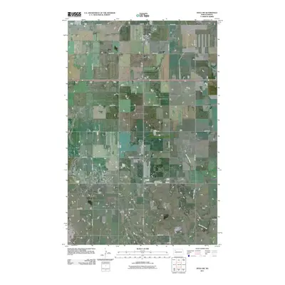
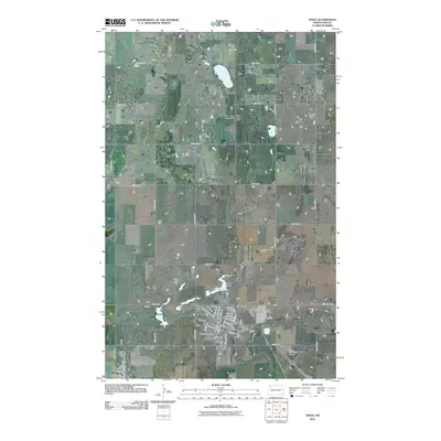
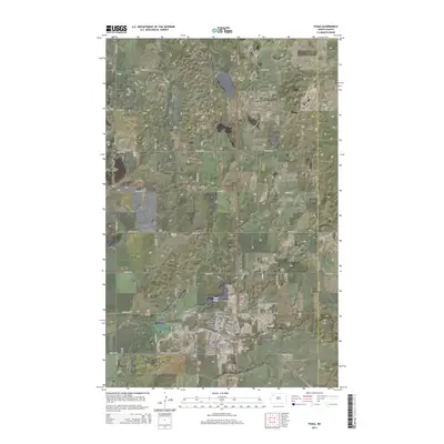
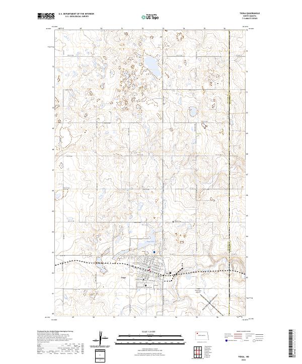 2024 Tioga2024 Print · USGSTioga and the surrounding prairie of Williams and Mountrail Counties are captured here in the contemporary era. Researchers can trace local genealogy through several burial sites including Bakken Cem, Hillside Cem, and the grid of Tioga itself.
 - 2024 Map of Tioga SW, 2024 Print
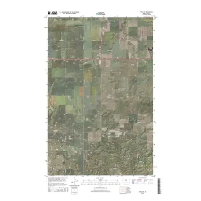
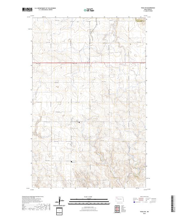 2024 Tioga SW2024 Print · USGSWilliams County's rural prairie landscape is captured in this recent survey, showcasing the enduring agricultural grid and drainage patterns of the high plains. Genealogists and local historians can locate Trinity Lutheran Cem, Bethany Cem, and the path of Dry Fork Creek.
End of results
Showing maps 1-14 of 14
Top cities near City of Tioga
Frequently asked questions
- What are the different types of historical maps available for City of Tioga?
- What is the oldest map of City of Tioga?
- Where can I purchase historical maps of City of Tioga for my home or office?
- Where can I download high-res historical maps of City of Tioga?
- Are there historical topographic maps available for City of Tioga?
- Is there historical aerial imagery available for City of Tioga?
- Where are historical maps of City of Tioga sourced from?