2000s (21st Century) Maps of Belmont County, Ohio
Explore 89 historic maps of Belmont County from the 2000s (21st Century). These maps offer a rare glimpse into what life looked like during the 2000s — showing old roads, neighborhoods, homes, and landmarks that have changed or disappeared over time.
Whether you're researching your family's past, planning a metal detecting trip, or studying how Belmont County's landscape evolved across the 2000s, these high-resolution maps are a powerful tool for exploring the history of this region.
- Focus on a specific era: All maps on this page are from the 2000s, giving you a focused view of this time period.
- See what’s changed: Compare century-old streets, trails, and buildings to today's modern landscape using overlays and satellite layers.
- Research with precision: Use these maps for genealogy, historical research, land use analysis, or educational projects.
- View, download, or print: Maps are fully viewable online in high resolution, and can be downloaded or printed for your own records.
Start exploring Belmont County's history through authentic maps from the 2000s. This is your window into the past.
Belmont County, OH maps
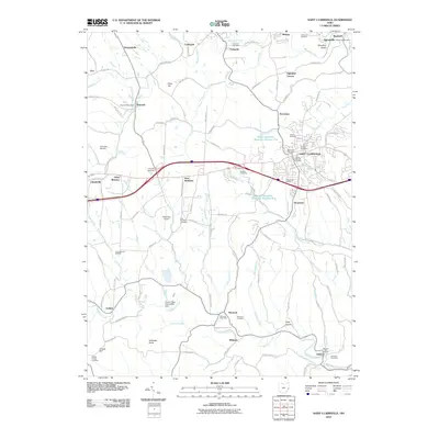
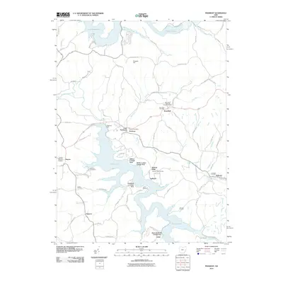
(89)- 2002 Map of Woodsfield, 2006 Print
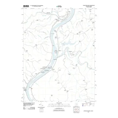
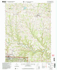 2002 Woodsfield2006 Print · USGSMonroe County at the turn of the millennium shows a landscape shaped by ridge-top settlements and winding creek valleys. Trace family history at Hope Ridge Cem or Ashbury Chapel, and locate landmarks from Woodsfield to the Wayne National Forest.
 - 2002 Map of Lewisville, 2006 Print
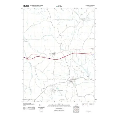
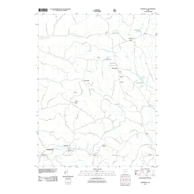
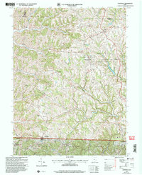 2002 Lewisville2006 Print · USGSSoutheastern Ohio's ridges and valleys are mapped here at the turn of the millennium, showing a landscape defined by small villages and protected woodlands. Genealogists can trace early settlers through the German Cem, Free Burial Ground, and numerous family-named hollows.
 - 2010 Map of Hunter, 2010 Print
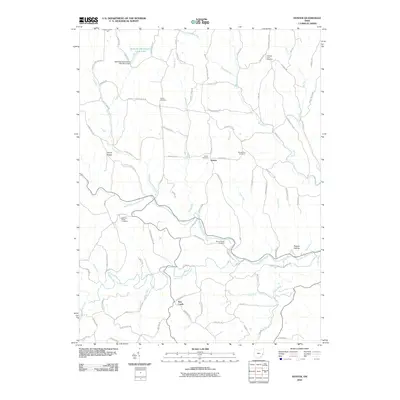 2010 Hunter2010 Print · USGSCovers Belmont County, including New Castle, Hunter, and other nearby areas
 - 2010 Map of Cameron, 2010 Print
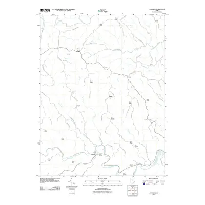 2010 Cameron2010 Print · USGSCovers Belmont County, including Clarington, Clover Hill, and other nearby areas
 - 2010 Map of Barnesville, 2010 Print
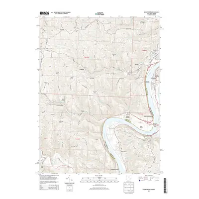
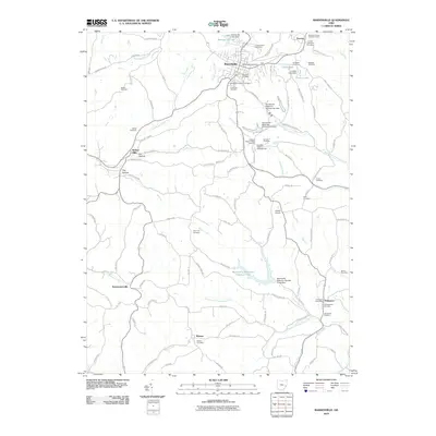 2010 Barnesville2010 Print · USGSCovers Belmont County, including Barnesville, Somerton, and other nearby areas
 - 2010 Map of Armstrongs Mills, 2010 Print
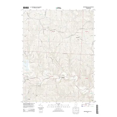
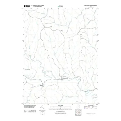 2010 Armstrongs Mills2010 Print · USGSCovers Belmont County, including Armstrongs Mills, Alledonia, and other nearby areas
 - 2010 Map of Lansing, 2010 Print
 2010 Lansing2010 Print · USGSCovers Belmont County, including Bellaire, Brookside, and other nearby areas
 - 2010 Map of Harrisville, 2010 Print
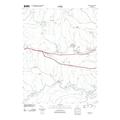
 2010 Harrisville2010 Print · USGSCovers Belmont County, including Cadiz, New Athens, and other nearby areas
 - 2010 Map of Saint Clairsville, 2010 Print
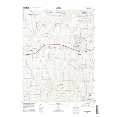
 2010 Saint Clairsville2010 Print · USGSCovers Belmont County, including St. Clairsville, Saint Clairsville, and other nearby areas
 - 2010 Map of Dillonvale, 2010 Print
 2010 Dillonvale2010 Print · USGSCovers Belmont County, including Colerain, Dillonvale, and other nearby areas
 - 2010 Map of Fairview, 2010 Print
 2010 Fairview2010 Print · USGSCovers Belmont County, including Barnesville, Sewellsville, and other nearby areas
 - 2010 Map of Flushing, 2010 Print
 2010 Flushing2010 Print · USGSCovers Belmont County, including Cadiz, Flushing, and other nearby areas
 - 2010 Map of Piedmont, 2010 Print
 2010 Piedmont2010 Print · USGSCovers Belmont County, including Moorefield, Holloway, and other nearby areas
 - 2010 Map of Bethesda, 2010 Print
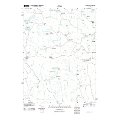
 2010 Bethesda2010 Print · USGSCovers Belmont County, including Bethesda, Belmont, and other nearby areas
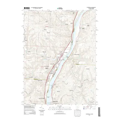
 - 2011 Map of Tiltonsville, 2011 Print
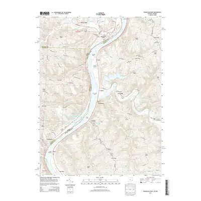
 2011 Tiltonsville2011 Print · USGSCovers Belmont County, including Wheeling, Martins Ferry, and other nearby areas
 - 2011 Map of Businessburg, 2011 Print
 2011 Businessburg2011 Print · USGSCovers Belmont County, including Moundsville, Shadyside, and other nearby areas
 - 2011 Map of Powhatan Point, 2011 Print
 2011 Powhatan Point2011 Print · USGSCovers Belmont County, including Powhatan Point, Clarington, and other nearby areas
 - 2011 Map of Lewisville, 2011 Print
 2011 Lewisville2011 Print · USGSCovers Belmont County, including Woodsfield, Malaga, and other nearby areas
 - 2011 Map of Woodsfield, 2011 Print
 2011 Woodsfield2011 Print · USGSCovers Belmont County, including Woodsfield, Beallsville, and other nearby areas
 - 2013 Map of Cameron, 2013 Print
 2013 Cameron2013 Print · USGSCovers Belmont County, including Clarington, Clover Hill, and other nearby areas
 - 2013 Map of Powhatan Point, 2013 Print
 2013 Powhatan Point2013 Print · USGSCovers Belmont County, including Powhatan Point, Clarington, and other nearby areas
 - 2013 Map of Armstrongs Mills, 2013 Print
 2013 Armstrongs Mills2013 Print · USGSCovers Belmont County, including Armstrongs Mills, Alledonia, and other nearby areas
 - 2013 Map of Businessburg, 2013 Print
 2013 Businessburg2013 Print · USGSCovers Belmont County, including Moundsville, Shadyside, and other nearby areas
 - 2013 Map of Saint Clairsville, 2013 Print
 2013 Saint Clairsville2013 Print · USGSCovers Belmont County, including St. Clairsville, Saint Clairsville, and other nearby areas
 - 2013 Map of Tiltonsville, 2013 Print
 2013 Tiltonsville2013 Print · USGSCovers Belmont County, including Wheeling, Martins Ferry, and other nearby areas
Showing maps 1-25 of 89
Top cities of Belmont County
- Martins Ferry historical maps
- St. Clairsville historical maps
- Colerain historical maps
- Barnesville historical maps
- Bellaire historical maps
- Shadyside historical maps
See more
Frequently asked questions
- What are the different types of historical maps available for Belmont County?
- What is the oldest map of Belmont County?
- Where can I purchase historical maps of Belmont County for my home or office?
- Where can I download high-res historical maps of Belmont County?
- Are there historical topographic maps available for Belmont County?
- Is there historical aerial imagery available for Belmont County?
- Where are historical maps of Belmont County sourced from?