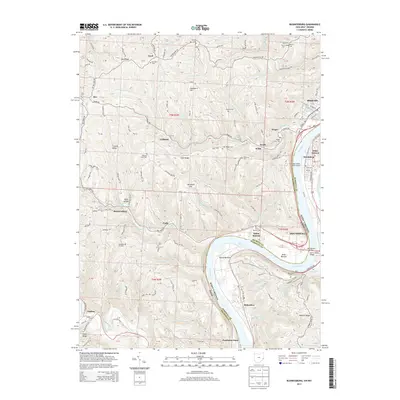
2013 Map of Businessburg
USGS Topo · Published 2013About this map
Ohio River navigation and transport dominate this corridor along the border of Ohio and West Virginia. On the eastern shore, the industrial and residential core of Moundsville and Glendale sits across from the Belmont County bottomlands. This 2013 survey shows the complex infrastructure of the river valley, including the Moundsville Bridge and the Arch A Moore Bridge connecting the two states. The mapping of Round Bottom and Dilles Bottom reflects the significance of these level plains for settlement and industry amidst the surrounding ridges.
Find a feature on this map
129 named features on this map. Tap any name to fly to it.
Don’t see what you’re looking for? This feature index may not catch every label — zoom into the map to look around manually.
Map Details
Editions of this 2013 Businessburg Map
This is the sole edition of this map. No revisions or reprints were ever made.
Other maps of this area

1902 · Wheeling
USGS Topo · 1:62,500

1904 · Cameron
USGS Topo · 1:62,500

1905 · Clarington
USGS Topo · 1:62,500

1905 · St. Clairsville
USGS Topo · 1:62,500

1935 · Cameron
USGS Topo · 1:62,500

1935 · Clarington
USGS Topo · 1:62,500

1935 · Wheeling
USGS Topo · 1:62,500

1940 · Clarington
USGS Topo · 1:62,500

1942 · Cameron
USGS Topo · 1:62,500

1942 · Wheeling
USGS Topo · 1:62,500