Old Maps of Put-in-Bay Township, Ohio for Academic Research
Study the evolution of Put-in-Bay Township with 41 high-resolution historic maps. Whether you're teaching, researching, or modeling changes in land use, these maps provide essential visual documentation of urban, environmental, and geographic change.
- Analyze long-term change: Track patterns in development, transportation, and natural features.
- Ideal for environmental or urban studies: Support academic projects with primary historical map data.
- Use in the classroom or lab: Educators and researchers rely on these maps to bring historical context to life.
These maps are a powerful tool for teaching, research, and visualizing how Put-in-Bay Township has changed over the decades.
Put-in-Bay Township, OH maps
(41)- 1900 Map of Oak Harbor, 1943 Print
 1900 Oak Harbor1943 Print · USGSOttawa County shorelines and rail hubs are preserved here at the turn of the century, showing the region before modern development. Genealogists and historians can trace the early layouts of Oak Harbor, the military grounds at Camp Perry, and the path of the Toledo Div. railroad.2 unique versions available
 - 1901 Map of Put-In-Bay, 1958 Print
 1901 Put-In-Bay1958 Print · USGSOttawa County's shoreline and the famous Lake Erie islands are captured at the start of the twentieth century, before modern development reshaped the coast. Genealogists and historians can trace the rail lines of the Lakeside and Sandusky Line and locate early settlements like Gypsum and St. George.
 - 1903 Map of Put In Bay, 1939 Print
 1903 Put In Bay1939 Print · USGSOttawa County's shoreline and islands are captured in the early twentieth century, showing a world of maritime transit and early rail. Genealogists can trace the early layout of Port Clinton and the distinct settlements of Put in Bay, Gypsum, and Lakeside.
 - 1916 Map of Kelleys Island, 1958 Print
 1916 Kelleys Island1958 Print · USGSLake Erie's western islands and the Marblehead peninsula are shown here as they appeared during the early twentieth century. Genealogists and local historians can trace the foundations of the island community through sites like Estes School or follow the path of the Northwestern Electric line.
 - 1919 Map of Kelleys Island, 1936 Print
 1919 Kelleys Island1936 Print · USGSLake Erie's coastal communities and islands are captured in the late nineteen-teens, during the height of the region's quarrying and port activity. Genealogists and local historians can trace school sites like St Michael School or explore the early layouts of Lakeside and Marblehead.
 - 1952 Map of Oak Harbor, 1960 Print
 1952 Oak Harbor1960 Print · USGSOttawa County coastal life and military heritage are on full display in this early 1950s survey of the Lake Erie shore. Researchers can trace the layout of the Erie Ordnance Depot and Camp Perry or locate ancestral sites like St Joseph Cemetery and Carroll Township School.
 - 1956 Map of Toledo, 1968 Print
 1956 Toledo1968 Print · USGSNorthwest Ohio and the Lake Erie shoreline are shown in detail during the late fifties, showcasing a landscape of heavy industry, railroads, and island communities. Genealogists and historians can trace rail networks like the Chesapeake & Ohio RR or locate landmarks such as the Erie Proving Ground and Kelleys Island.4 unique versions available
 - 1959 Map of Port Clinton, 1960 Print
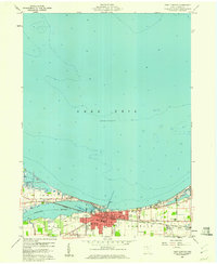 1959 Port Clinton1960 Print · USGSPort Clinton and the industrial shoreline of Lake Erie are captured here during the late fifties as the lakefront economy hummed. Local researchers can trace family plots at Lakeview Cem or locate lost landmarks like the Drive-in Theater and the New York Central rail line.
 - 1959 Map of Gypsum, 1961 Print
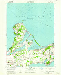 1959 Gypsum1961 Print · USGSThe Lake Erie shoreline in the late fifties shows a fascinating overlap of limestone industry and growing vacation communities. Local historians can trace the massive Marblehead Quarry operations alongside established settlements like Lakeside and Danbury.
 - 1959 Map of Put-In-Bay, 1961 Print
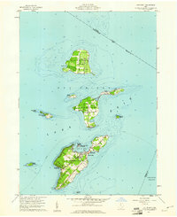 1959 Put-In-Bay1961 Print · USGSThe Lake Erie islands in the late fifties show a thriving archipelago defined by vineyards, ferry travel, and maritime heritage. Genealogists and local historians can trace family locations along Fox Road or near St Pauls Ch, and locate landmarks like the Perry Nat Monument.
 - 1961 Map of Toledo
 1961 Toledo1961 Print · USGSThe western basin of Lake Erie and the industrial heart of Northern Ohio are captured here during the post-war era. Researchers can trace historical rail lines like the New York Central or locate landmarks like the Erie Ordnance Depot and Pelee Island.
 - 1964 Map of Metzger Marsh, 1965 Print
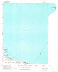 1964 Metzger Marsh1965 Print · USGSCoastal Lucas County in the mid-1960s was a sanctuary of protected marshlands and quiet lakeside reaches. Trace the shoreline through the Metzger Marsh Wildlife Area to the remote West Sister Island and the residential pocket of Howard Farms Beach.
 - 1969 Map of Put-In-Bay, 1971 Print
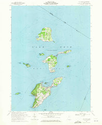 1969 Put-In-Bay1971 Print · USGSThe Bass Islands of Lake Erie appear in the late sixties as a thriving maritime community and summer destination. Genealogists and historians can trace local landmarks like St Pauls Ch, Middle Bass Sch, and the grounds of South Bass Island State Park.
 - 1969 Map of Gypsum, 1971 Print
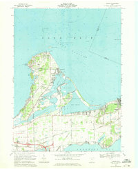 1969 Gypsum1971 Print · USGSCatawba Island and the Marblehead Peninsula are shown here in the late sixties as both a vacation destination and an industrial hub. Researchers can trace family sites at Sackett Cem, the massive Marblehead Quarry, and the community of Lakeside.3 unique versions available
 - 1969 Map of Port Clinton, 1971 Print
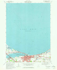 1969 Port Clinton1971 Print · USGSPort Clinton sits at the mouth of the Portage River during a period of steady shoreline growth and industrial activity. Genealogists and local historians can trace family markers at Lakeview Cem, explore the rail layout of the Penn Central, or locate the old Drive-in Theater.
 - 1986 Map of Put-In-Bay
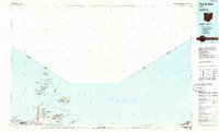 1986 Put-In-Bay1986 Print · USGSThe Lake Erie archipelago and Ohio shoreline are documented here in the mid-eighties, showing the region's unique maritime and rail connectivity. Trace island life and landmarks like the Marblehead Lighthouse, Put-in-Bay, and Kelleys Island.2 unique versions available
 - 1986 Map of Toledo
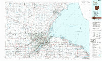 1986 Toledo1986 Print · USGSGreater Toledo and the Lake Erie shoreline are captured here in the mid-eighties, showcasing a massive network of industrial waterways and rail lines. You can trace the path of the Maumee River past Rossford or explore the conservation lands at Ottawa National Wildlife Refuge.2 unique versions available
 - 2010 Map of Gypsum, 2010 Print
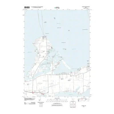 2010 Gypsum2010 Print · USGSThe Lake Erie shoreline at Catawba Island and Lakeside is captured here during a period of modern coastal development. Researchers can trace local lineage through several sites like Catawba Island Cemetery or explore landmarks such as Bergman Orchards and Carl R Keller Field.
 - 2010 Map of Port Clinton, 2010 Print
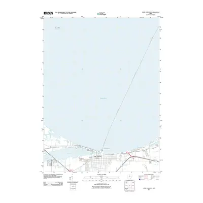 2010 Port Clinton2010 Print · USGSThe Lake Erie shoreline at Port Clinton is captured here during its modern era of maritime commerce and recreation. Researchers can trace the town's layout and local burial sites like Riverview Cemetery or locate navigational aids such as the Port Clinton Light.
 - 2010 Map of Metzger Marsh, 2010 Print
 2010 Metzger Marsh2010 Print · USGSThe Lake Erie shoreline in Ottawa County appears during the early 2000s, showcasing the intersection of coastal settlements and marshland. You can trace the layout of Howard Farms Beach and follow the path of Crane Creek as it reaches the open water of Lake Erie.
 - 2011 Map of Put-in-Bay, 2011 Print
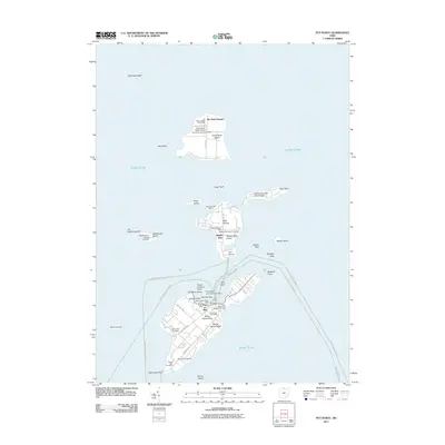 2011 Put-in-Bay2011 Print · USGSThe Bass Islands of Lake Erie are captured here in the early twenty-first century, showing the established maritime networks between these isolated communities. Genealogists can locate family plots at Maple Leaf Cemetery or Crown Hill Cemetery, while historians trace the shoreline from Perry Memorial Monument Light to the docks at Put-in-Bay.
 - 2013 Map of Port Clinton, 2013 Print
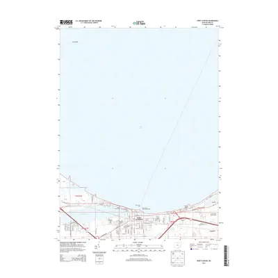 2013 Port Clinton2013 Print · USGSPort Clinton and the Ottawa County shoreline are documented here in the early twenty-first century as a bustling hub of marinas and lakeside industry. Researchers can trace local lineage at Riverview Cem or locate maritime landmarks like the Port Clinton Light.
 - 2013 Map of Metzger Marsh, 2013 Print
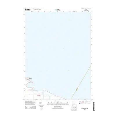 2013 Metzger Marsh2013 Print · USGSThe western basin of Lake Erie meets the Ohio shoreline in the early twenty-first century, showing a mix of residential beach life and coastal wetlands. Researchers can trace the layout of Howard Farms Beach and the protected reaches of Metzger Marsh near Crane Creek.
 - 2013 Map of Gypsum, 2013 Print
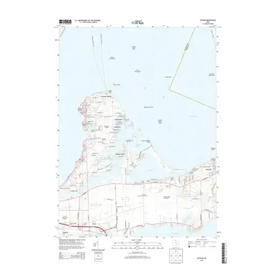 2013 Gypsum2013 Print · USGSCatawba Island and the Marblehead Peninsula are shown here in detail during the early twenty-first century. Researchers can trace historic family burial sites like K'burg Cem and Dewette Cem or explore the waterfront history of Lakeside and Gem Beach.
 - 2013 Map of Put-in-Bay, 2013 Print
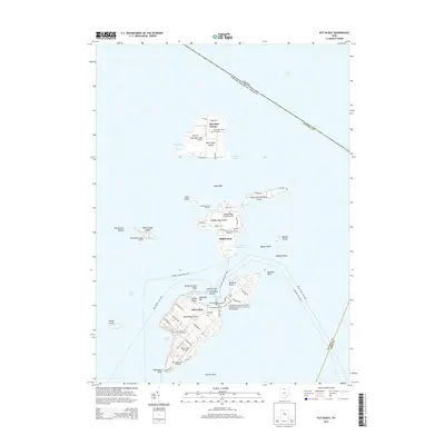 2013 Put-in-Bay2013 Print · USGSThe Lake Erie islands in the early twenty-first century remain vital maritime and aviation hubs near the Canadian border. Researchers can trace local lineage at Maple Leaf Cemetery or explore landmarks like The Boardwalk and the Perry's Victory Memorial.
Showing maps 1-25 of 41
Top cities near Put-in-Bay Township
- Sandusky historical maps
- Port Clinton historical maps
- Catawba Island historical maps
- Oak Harbor historical maps
- Marblehead historical maps
- Kelleys Island historical maps
See more
Top neighborhoods of Put-in-Bay Township
- Isle Saint George historical maps
- Middle Bass historical maps
- Put-in-Bay historical maps
- East Point historical maps
- Island Bay Estates historical maps
- Lakeview Allotment historical maps
See more
Frequently asked questions
- What are the different types of historical maps available for Put-in-Bay Township?
- What is the oldest map of Put-in-Bay Township?
- Where can I purchase historical maps of Put-in-Bay Township for my home or office?
- Where can I download high-res historical maps of Put-in-Bay Township?
- Are there historical topographic maps available for Put-in-Bay Township?
- Is there historical aerial imagery available for Put-in-Bay Township?
- Where are historical maps of Put-in-Bay Township sourced from?