Old Maps of Otway, Ohio for Academic Research
Study the evolution of Otway with 12 high-resolution historic maps. Whether you're teaching, researching, or modeling changes in land use, these maps provide essential visual documentation of urban, environmental, and geographic change.
- Analyze long-term change: Track patterns in development, transportation, and natural features.
- Ideal for environmental or urban studies: Support academic projects with primary historical map data.
- Use in the classroom or lab: Educators and researchers rely on these maps to bring historical context to life.
These maps are a powerful tool for teaching, research, and visualizing how Otway has changed over the decades.
Otway, OH maps
(12)- 1915 Map of Otway, 1958 Print
 1915 Otway1958 Print · USGSScioto and Pike Counties come alive in the decade before the First World War, showing a rural landscape anchored by the river and the rail. Researchers can trace dozens of country schoolhouses like Wetmore School and old rail stops at Otway or McDermott.2 unique versions available
 - 1917 Map of Otway, 1941 Print
 1917 Otway1941 Print · USGSScioto and Pike Counties are shown in great detail during the era of steam railroading and rural schoolhouses. You can trace the Norfolk and Western RR through Otway or locate family roots at sites like Hackworth Hill School and McDermott.
 - 1957 Map of Huntington, 1966 Print
 1957 Huntington1966 Print · USGSThe industrial heart of the Ohio River valley is captured here in the mid-sixties, showing the growth of Huntington and Ashland. Researchers can trace the extensive rail networks of the Chesapeake and Ohio RR and locate sites like the Chief Cornstalk Hunting Ground.3 unique versions available
 - 1960 Map of Huntington
 1960 Huntington1960 Print · USGSThe tri-state river valley thrived in the late fifties as a hub of heavy industry and Appalachian rail transit. Genealogists and historians can trace the connection between river towns like Ashland and Portsmouth or locate family homesteads near Coleman Ridge.
 - 1961 Map of Otway, 1962 Print
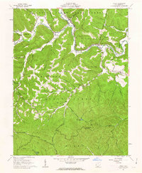 1961 Otway1962 Print · USGSScioto County during the early 1960s was a landscape defined by state forests and the Norfolk and Western rail line. Researchers can trace rural life through the Township Sch, isolated family burial grounds like Oppy Cem, and landmarks such as the Copperhead Lookout Tower.3 unique versions available
 - 1986 Map of Maysville
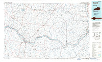 1986 Maysville1986 Print · USGSThe Ohio River valley in the mid-eighties reveals a landscape of industrial river towns and sprawling public lands spanning the Kentucky and Ohio border. Researchers can trace the rail corridors of the Chesapeake and Ohio Railway or locate landmarks like Confidence Cemetery and the Fleming-Mason Airport.
 - 1991 Map of Maysville
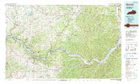 1991 Maysville1991 Print · USGSThe Ohio River valley at the turn of the nineties reveals a landscape of river-bend towns and dense forest preserves. Trace local history through landmark sites like Confidence Cemetery, the small-town streets of Ripley, and the river reaches of Manchester Island No 1.
 - 2010 Map of Otway, 2010 Print
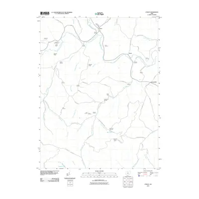 2010 Otway2010 Print · USGSScioto County's brushy creek valleys and forested ridges are captured here during the early 21st century. Genealogists and hikers can trace family names across a high density of burial sites like Thornton Cemetery, or locate landmarks like the Copperhead Lookout Tower.
 - 2013 Map of Otway, 2013 Print
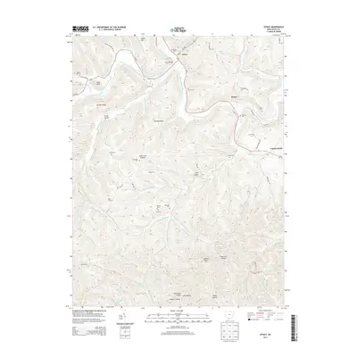 2013 Otway2013 Print · USGSOtway and the surrounding Scioto County valleys are shown here in the early twenty-first century, featuring a landscape defined by winding creeks and ridge-top roads. Researchers can locate numerous family burial grounds including Jewett Cem and Parker Cem, or trace the paths of Saw Pit Run and Scioto Brush Creek.
 - 2016 Map of Otway, 2016 Print
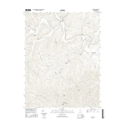 2016 Otway2016 Print · USGSThe Scioto County hill country near Otway is shown here in the mid-2010s, where deep valleys and high ridges dictate the local road network. Genealogists can locate numerous small family burial sites like Smith Cem, Jewett Cem, and Branham Cem tucked into the hollows.
 - 2019 Map of Otway, 2019 Print
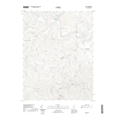 2019 Otway2019 Print · USGSThe rural hills of Scioto County are mapped here in the late twenty-teens, showing the enduring structure of small creek-side settlements. Genealogists can locate numerous family burial sites such as Beech Fork Cem and Oswego Cem along the winding Scioto Brush Creek.
 - 2023 Map of Otway, 2023 Print
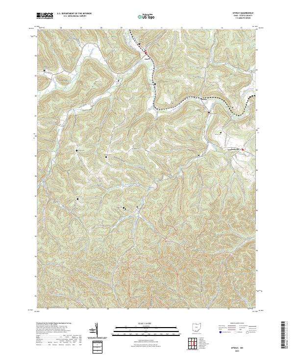 2023 Otway2023 Print · USGSScioto County’s wooded hollows and ridges appear here in high detail, showing the rural landscape around Otway and Henley as it stands today. Genealogists can trace family names at Otway Cem, Oppy Cem, and Garvin Cem along the winding creek valleys.
End of results
Showing maps 1-12 of 12
Top cities near Otway
- Portsmouth historical maps
- Piketon historical maps
- Peebles historical maps
- Rarden historical maps
- Sinking Spring historical maps
Frequently asked questions
- What are the different types of historical maps available for Otway?
- What is the oldest map of Otway?
- Where can I purchase historical maps of Otway for my home or office?
- Where can I download high-res historical maps of Otway?
- Are there historical topographic maps available for Otway?
- Is there historical aerial imagery available for Otway?
- Where are historical maps of Otway sourced from?