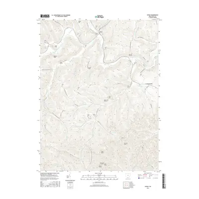
2016 Map of Otway
USGS Topo · Published 2016About this map
Otway sits at the convergence of several major drainage systems in Scioto County, where the South Fork Scioto Brush Creek and Scioto Brush Creek meet near the historic Otway Bridge. The landscape is defined by deep hollows and high ridges like Oswego Ridge and Bracken Ridge, reflecting a settlement pattern forced into the narrow valley floors. Dozens of family-named burial grounds are scattered throughout these hills, including the Moon Cem, Thornton Cem, and Oppy Cem, providing a dense record for genealogical research in this part of Ohio. Higher elevations reveal prominent landmarks such as Alum Rock and Jones Knob, while the southern reaches of the map feature the recreational waters of Bear Cr Lake and Wolfden Lake.
Find a feature on this map
93 named features on this map. Tap any name to fly to it.
Don’t see what you’re looking for? This feature index may not catch every label — zoom into the map to look around manually.
Map Details
Editions of this 2016 Otway Map
This is the sole edition of this map. No revisions or reprints were ever made.
Other maps of this area
1915 · Garrison
USGS Topo · 1:62,500
1915 · Otway
USGS Topo · 1:62,500
1916 · Peebles
USGS Topo · 1:62,500
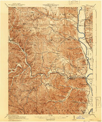
1917 · Otway
USGS Topo · 1:62,500
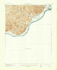
1918 · Garrison
USGS Topo · 1:62,500
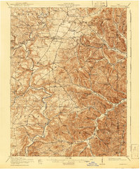
1918 · Peebles
USGS Topo · 1:62,500
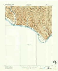
1919 · Vanceburg
USGS Topo · 1:62,500
1949 · Pond Run
USGS Topo · 1:24,000
1949 · Vanceburg
USGS Topo · 1:62,500
1949 · Friendship
USGS Topo · 1:24,000