2000s (21st Century) Maps of Atoka County, Oklahoma
Explore 125 historic maps of Atoka County from the 2000s (21st Century). These maps offer a rare glimpse into what life looked like during the 2000s — showing old roads, neighborhoods, homes, and landmarks that have changed or disappeared over time.
Whether you're researching your family's past, planning a metal detecting trip, or studying how Atoka County's landscape evolved across the 2000s, these high-resolution maps are a powerful tool for exploring the history of this region.
- Focus on a specific era: All maps on this page are from the 2000s, giving you a focused view of this time period.
- See what’s changed: Compare century-old streets, trails, and buildings to today's modern landscape using overlays and satellite layers.
- Research with precision: Use these maps for genealogy, historical research, land use analysis, or educational projects.
- View, download, or print: Maps are fully viewable online in high resolution, and can be downloaded or printed for your own records.
Start exploring Atoka County's history through authentic maps from the 2000s. This is your window into the past.
Atoka County, OK maps
(125)- 2009 Map of Wapanucka South, 2009 Print
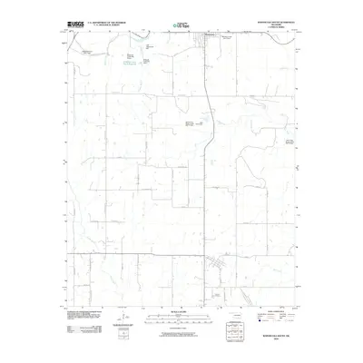 2009 Wapanucka South2009 Print · USGSWapanucka and the rural stretches of Johnston County are captured here in the late 2000s, showing a landscape shaped by water management and family farmsteads. Researchers can locate the Coleman Cemetery or trace the winding paths of Dark Corner Rd and Sandy Creek.
 - 2009 Map of Daisy, 2009 Print
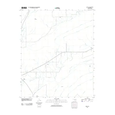 2009 Daisy2009 Print · USGSThis part of Oklahoma at the start of the twenty-first century reveals a landscape where modern turnpikes meet old mountain gaps. Genealogists and local historians can trace family roots at Billy Cemetery, Bond Cemetery, and the high ridges of Daisy Mountain.
 - 2009 Map of Darwin, 2009 Print
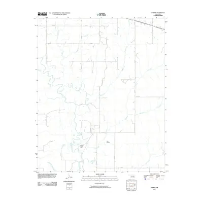 2009 Darwin2009 Print · USGSSoutheast Oklahoma at the start of the millennium is a land defined by its winding waterways and rural correctional facilities. Local historians can trace the course of Muddy Boggy Creek past the McLeod Honor Farm and through landmarks like Pine Hollow.
 - 2009 Map of Olney, 2009 Print
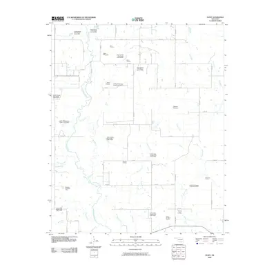 2009 Olney2009 Print · USGSCoal County’s rural landscape comes into focus during this early 21st-century survey, centered on the Clear Boggy Creek watershed. Genealogists and local historians can locate several family-named burial sites including Sealy Cemetery, Valley View Cemetery, and the notable Standing Rock Cemetery.
 - 2009 Map of Caney, 2009 Print
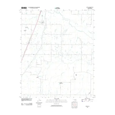 2009 Caney2009 Print · USGSThe community of Caney and the expansive ranching lands of Atoka County are captured here in the early twenty-first century. Researchers can trace family roots at Folsom Cemetery or locate regional landmarks like Stuart Ranch, Buffalo Hill, and Nickles Lake.
 - 2009 Map of Coalgate, 2009 Print
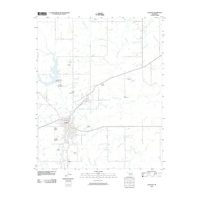 2009 Coalgate2009 Print · USGSCoalgate and the Coal County countryside are shown here in the late 2000s, where the local coal mining legacy meets a landscape of creeks and reservoirs. Researchers can locate family heritage sites at Calvary or Woodman Cemetery and trace industrial sites like the Phillips Strip Mine.
 - 2009 Map of Bentley, 2009 Print
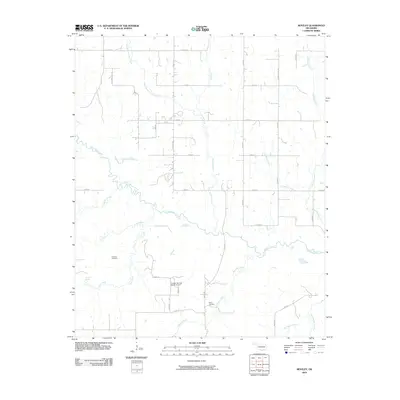 2009 Bentley2009 Print · USGSBryan County at the start of the 21st century remains a landscape of sprawling ranches and winding creek beds. Genealogists and local historians can locate legacy sites like Matoy Cemetery and Turnbull Cemetery or trace the paths of Dancing Rabbit Creek.
 - 2009 Map of Wapanucka North, 2009 Print
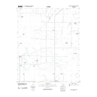 2009 Wapanucka North2009 Print · USGSOklahoma's Johnston County countryside is revealed here at the end of the first decade of the millennium. Researchers can locate family landmarks at Rose Hill Cemetery and Wells Valley Cemetery, or trace the grounds of the Chickasaw Rock Academy and Clarita Post Office.
 - 2010 Map of Lane NW, 2010 Print
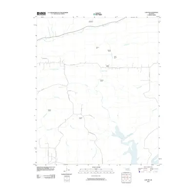 2010 Lane NW2010 Print · USGSAtoka County's rural landscape at the start of the 21st century reveals a network of named hollows and prairies north of the McGee Creek reservoir. Researchers can trace the local drainage systems of Potapo Creek and find specific landmarks like Hiawana Prairie and the Atoka County Dam.
 - 2010 Map of Lane NE, 2010 Print
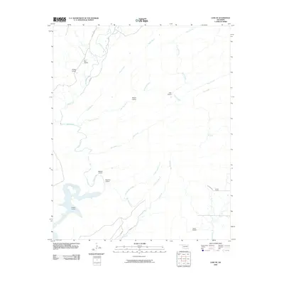 2010 Lane NE2010 Print · USGSPushmataha County at the end of the first decade of the 2000s remains a landscape of deep creek valleys and named hollows. Local historians and genealogists can pinpoint Impson Church and trace the winding paths of Greasy Bend Rd and Soloman Rd.
 - 2010 Map of Lehigh, 2010 Print
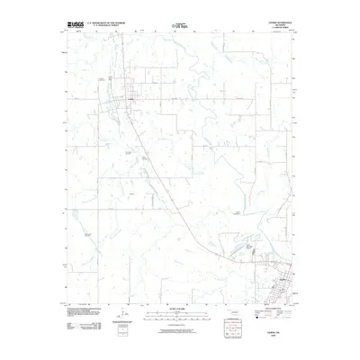 2010 Lehigh2010 Print · USGSAtoka County's coal mining heritage and municipal growth are preserved here in the early 2000s. Researchers can trace ancestral sites at Old Lehigh Cemetery and Lehigh Cemetery or examine the footprint of the Lehigh Strip Mine near Midway.
 - 2010 Map of Limestone Gap, 2010 Print
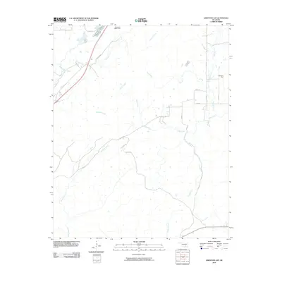 2010 Limestone Gap2010 Print · USGSOklahoma's Choctaw Nation backcountry is documented here during the late 2000s, centered on the strategic pass at Gap. Genealogists and hunters can trace the winding paths of McGee Creek and Breadtown Creek or locate remote rural properties along Wesley Rd.
 - 2010 Map of Tushka, 2010 Print
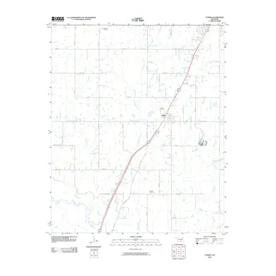 2010 Tushka2010 Print · USGSTushka and the surrounding Oklahoma prairie are shown here during the early 21st century as the community grew along the highway. Genealogists and local historians can trace family locations near Tushka Cemetery, Plainview Cemetery, and the banks of Clear Boggy Creek.
 - 2010 Map of Wardville, 2010 Print
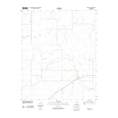 2010 Wardville2010 Print · USGSAtoka County's rural landscape is captured here in the early 2000s, showing a region defined by its creek valleys and section-line roads. Researchers can pinpoint several family burial sites including Lone Star Cemetery, King Cemetery, and the Kelly Cemetery.
 - 2010 Map of Boggy Depot, 2010 Print
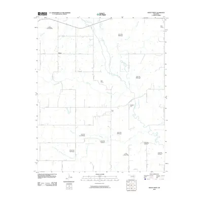 2010 Boggy Depot2010 Print · USGSBoggy Depot and the surrounding Oklahoma countryside are captured here in the early twenty-first century, showing a landscape defined by creeks and conservation. Family historians can locate Wards Chapel Cemetery and Boggy Depot Cemetery or trace the East Boggy Depot Oil Field.
 - 2010 Map of Caddo NW, 2010 Print
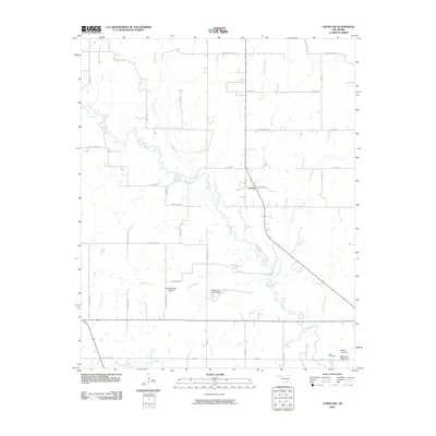 2010 Caddo NW2010 Print · USGSFolsom and the surrounding Twelvemile Prairie are captured in this study of Johnston County during the early twenty-first century. Researchers can locate family landmarks such as the Nail Cemetery and trace the many branches of the Blue River and Horse Creek.
 - 2010 Map of Bruno, 2010 Print
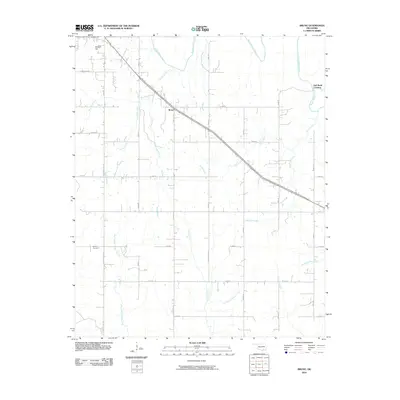 2010 Bruno2010 Print · USGSSoutheast Oklahoma at the dawn of the millennium shows a landscape shaped by the branching waters of the Boggy Creek system. Genealogists and local historians can locate Bethany Cemetery and trace the rural settlement at Bruno or find the Half Bank Crossing.
 - 2010 Map of Farris, 2010 Print
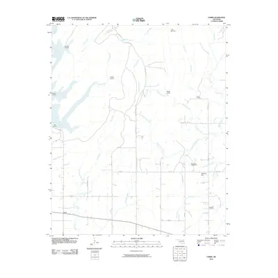 2010 Farris2010 Print · USGSFarris and the surrounding Atoka County countryside appear here in the early twenty-first century, showing a landscape defined by timbered hills and numerous creek branches. Researchers can locate family landmarks like Sugarloaf Cemetery, Zoraya Cemetery, and the heights of Long Mountain.
 - 2010 Map of Stringtown, 2010 Print
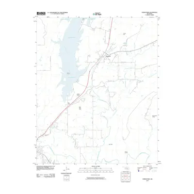 2010 Stringtown2010 Print · USGSStringtown and the surrounding Oklahoma countryside are documented here in the early twenty-first century, showing the intersection of local history and modern infrastructure. You can trace family roots at the Confederate Cemetery or locate the old West Tellico School site near the Atoka Reservoir Dam.
 - 2010 Map of Kiowa, 2010 Print
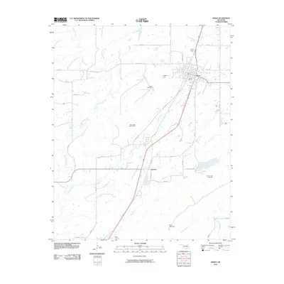 2010 Kiowa2010 Print · USGSThe town of Kiowa and the nearby settlement of Reynolds are documented here as they appeared at the start of the 2010s. Researchers can locate family sites near Oak Hill Cemetery, Wards Cemetery, and the slopes of Kiowa Hill.
 - 2010 Map of Redden, 2010 Print
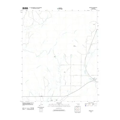 2010 Redden2010 Print · USGSSoutheastern Oklahoma’s rural landscape is captured here in the early twenty-first century, showing the intersection of modern transit and deep-rooted local history. Genealogists can locate Hewitt Cemetery and Baker Cemetery, while explorers can trace McGee Creek through McGee Valley.
 - 2010 Map of Lane, 2010 Print
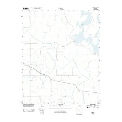 2010 Lane2010 Print · USGSAtoka County during the early twenty-first century is revealed through its intricate creek systems and rural road networks. Researchers can pinpoint the Butler Cemetery near Lane or trace the winding course of Muddy Boggy Creek through Wilson Hollow and Negro Bend.
 - 2010 Map of Boswell NW, 2010 Print
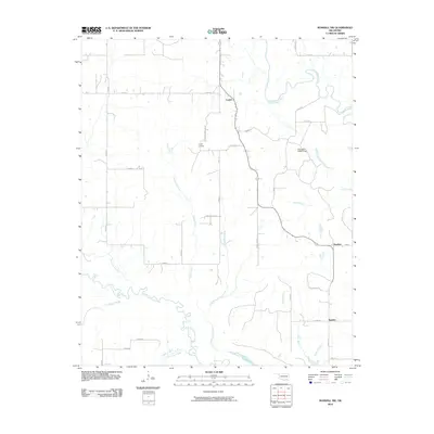 2010 Boswell NW2010 Print · USGSThe rural landscape of Atoka County is documented here in the early twenty-first century, showing a region deeply tied to its watercourses. Genealogists and local historians can trace family locations near Crystal, Boehler, or the Crystal Cemetery while following the winding banks of Muddy Boggy Creek.
 - 2010 Map of Coalgate SE, 2010 Print
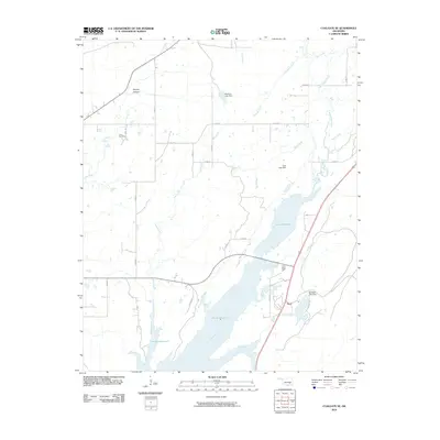 2010 Coalgate SE2010 Print · USGSAtoka County's landscape is defined by its massive water projects and rural holdings at the start of the 2010s. Genealogists and local historians can trace the area near Flora or locate the Cairo Cemetery tucked away near Phillips Hollow.
 - 2010 Map of Caddo North, 2010 Print
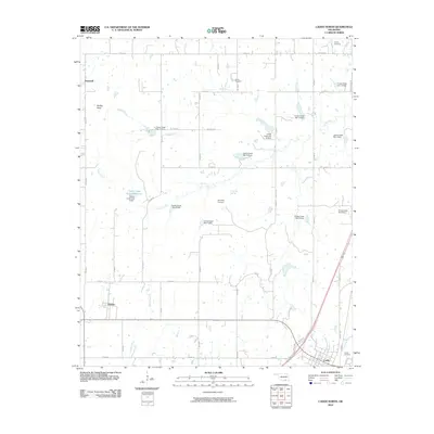 2010 Caddo North2010 Print · USGSBryan County at the start of the decade reveals a rural Oklahoma landscape shaped by the Caney Creek watershed. Genealogists and local historians can locate early burial grounds such as Indian Cemetery and Maytubby Cemetery or trace landmarks like Nails Xing.
Showing maps 1-25 of 125
Top cities of Atoka County
Frequently asked questions
- What are the different types of historical maps available for Atoka County?
- What is the oldest map of Atoka County?
- Where can I purchase historical maps of Atoka County for my home or office?
- Where can I download high-res historical maps of Atoka County?
- Are there historical topographic maps available for Atoka County?
- Is there historical aerial imagery available for Atoka County?
- Where are historical maps of Atoka County sourced from?