2020s Maps of Atoka County, Oklahoma
Explore 25 historic maps of Atoka County from the 2020s. These maps offer a rare glimpse into what life looked like during the 2020s — showing old roads, neighborhoods, homes, and landmarks that have changed or disappeared over time.
Whether you're researching your family's past, planning a metal detecting trip, or studying how Atoka County's landscape evolved across the 2020s, these high-resolution maps are a powerful tool for exploring the history of this region.
- Focus on a specific era: All maps on this page are from the 2020s, giving you a focused view of this time period.
- See what’s changed: Compare century-old streets, trails, and buildings to today's modern landscape using overlays and satellite layers.
- Research with precision: Use these maps for genealogy, historical research, land use analysis, or educational projects.
- View, download, or print: Maps are fully viewable online in high resolution, and can be downloaded or printed for your own records.
Start exploring Atoka County's history through authentic maps from the 2020s. This is your window into the past.
Atoka County, OK maps
(25)- 2022 Map of Lane NE, 2022 Print
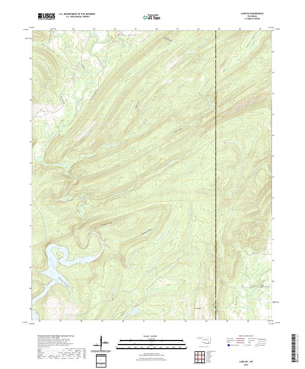 2022 Lane NE2022 Print · USGSThe Atoka and Pushmataha county line in southeastern Oklahoma is captured here in the early twenty-first century. Researchers can trace the rugged drainage of McGee Creek through Bugaboo Canyon and locate family-named landmarks like Leyba Ranch Rd.
 - 2022 Map of Daisy, 2022 Print
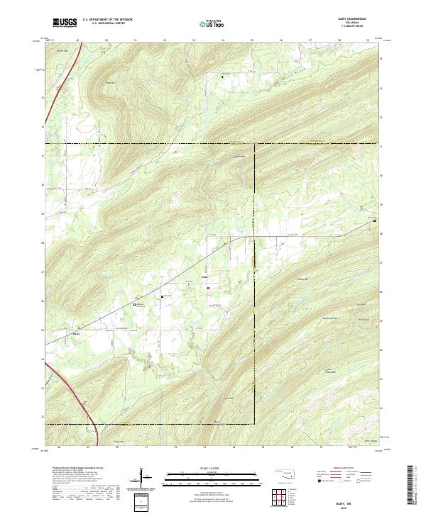 2022 Daisy2022 Print · USGSSoutheastern Oklahoma’s ridge-and-valley landscape is documented here in the early twenty-first century as the Kiamichi foothills remained sparsely settled. Genealogists and hikers can trace remote landmarks like Mountain Home Cem, Rock Town, and the rural community of Daisy.
 - 2022 Map of Limestone Gap, 2022 Print
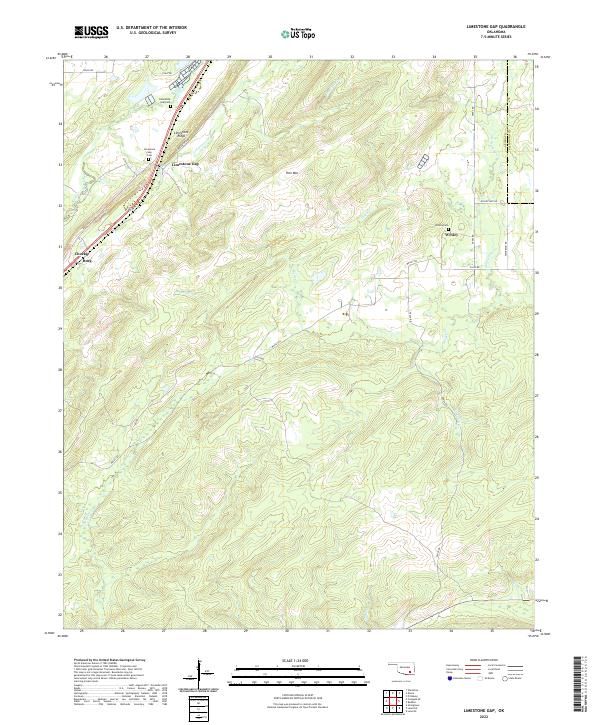 2022 Limestone Gap2022 Print · USGSThe Atoka and Pittsburg County line remains a landscape of ridge-and-valley terrain in the early twenty-first century. Genealogists and historians can trace family locations near the Limestone Gap Cemetery or explore the rural settlements of Wesley and Chockie.
 - 2022 Map of Redden, 2022 Print
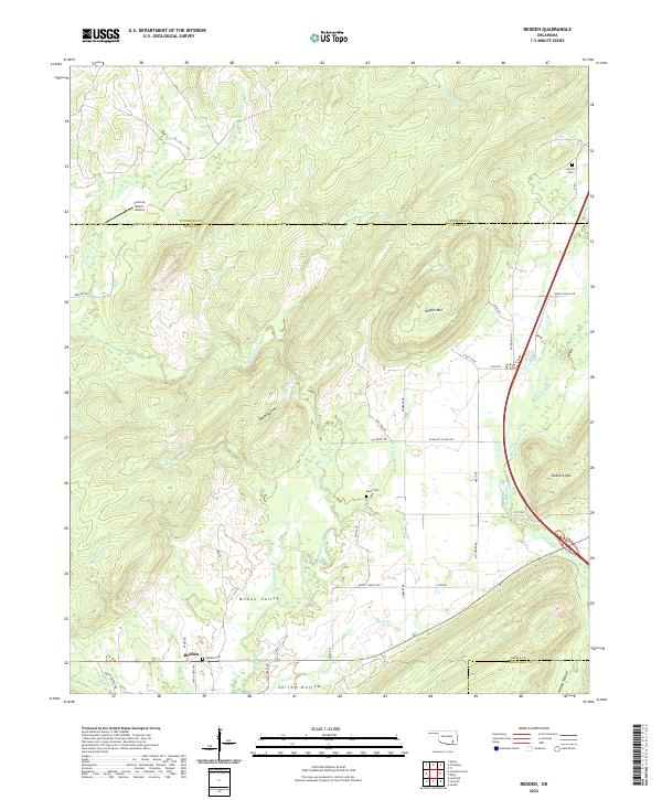 2022 Redden2022 Print · USGSAtoka County's northern hills are documented here in the early twenty-first century, showing the rural settlement of Redden and the surrounding mountain ridges. Local history researchers can locate several family-named landmarks and burial sites, including Redden Cem, Baker Cem, and Hewitt Mtn.
 - 2022 Map of Darwin, 2022 Print
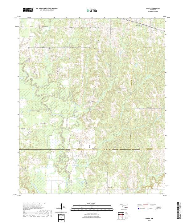 2022 Darwin2022 Print · USGSSoutheastern Oklahoma’s creek-bottom lands are captured here in the early twenty-first century, centered on the intersection of Atoka and Pushmataha counties. Genealogists can locate the Darwin Cem and trace the winding course of Muddy Boggy Creek through local settlements like Old Farris and Lone Pine.
 - 2022 Map of Kiowa, 2022 Print
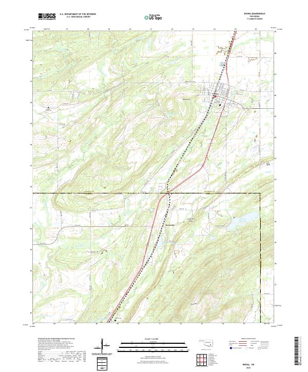 2022 Kiowa2022 Print · USGSKiowa and the surrounding Oklahoma landscape are captured here in the early twenty-first century, showing the intersection of town life and rugged terrain. Researchers can locate family sites at Kiowa City Cem or Harpers Valley Cem, and trace the winding paths of N Boggy Cr and Fivemile Cr.
 - 2022 Map of Boswell NW, 2022 Print
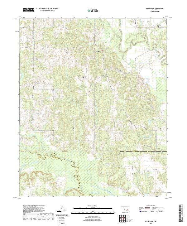 2022 Boswell NW2022 Print · USGSSouthern Oklahoma at the border of Atoka, Bryan, and Choctaw counties remains a landscape of quiet rural settlements and winding waterways. Researchers can trace ancestral connections at Crystal Cem and Farris Cem or locate the small communities of Crystal and Boehler.
 - 2022 Map of Lane NW, 2022 Print
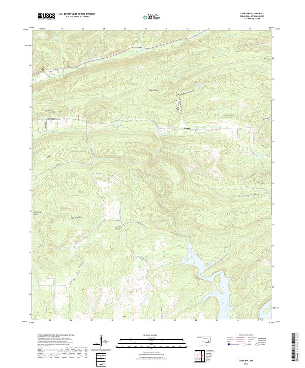 2022 Lane NW2022 Print · USGSNorthern Atoka County in the early 2020s is a landscape of expansive grasslands and deep timbered hollows. Researchers can trace the rural road network connecting Fugate to landmarks like Hiawana Prairie, Wildcat Hollow, and Potapo Creek.
 - 2022 Map of Lane, 2022 Print
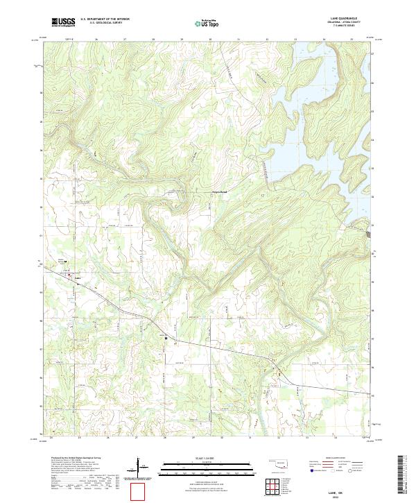 2022 Lane2022 Print · USGSSoutheastern Oklahoma’s creek-cut landscape is shown in detail during the early 2020s, centered on the community of Lane. Genealogists and local historians can locate Double Springs Cem, trace the bend of Muddy Boggy Creek, and identify landmarks like Yates Cattle Camp.
 - 2022 Map of Farris, 2022 Print
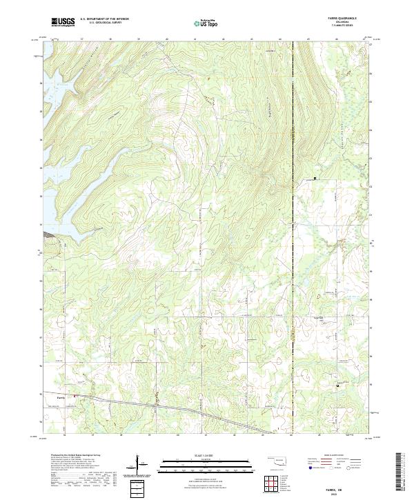 2022 Farris2022 Print · USGSThe community of Farris and the hills along the Atoka-Pushmataha county line are mapped here in the early twenty-first century. Researchers can trace rural lineages at Zoraya Cem and Sugarloaf Cem or follow the paths of Cold Springs Cr and Simpson Valley.
 - 2022 Map of Wapanucka North, 2022 Print
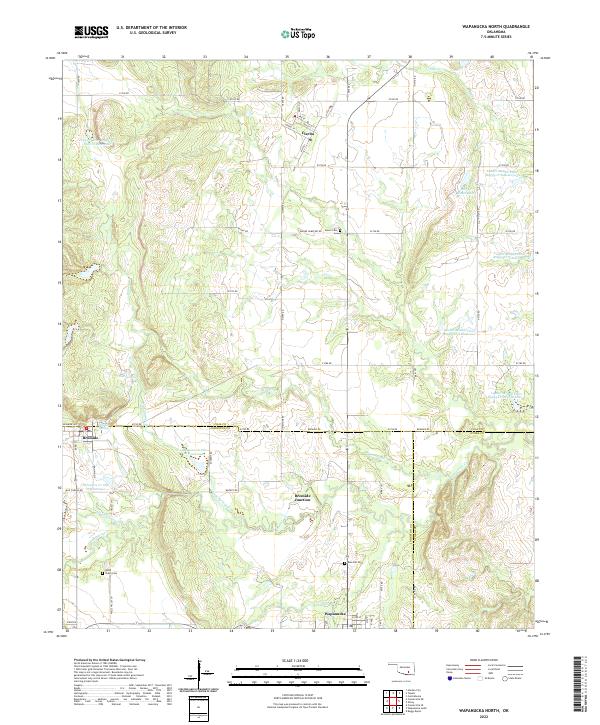 2022 Wapanucka North2022 Print · USGSSouthern Oklahoma ranchlands and small-town intersections come into focus in this early twenty-first-century survey of the Clear Boggy Creek watershed. Genealogists and local historians can trace family-named sites like Mary J Ranch Lake or locate burials at Moore Cem and Valley Cem.
 - 2022 Map of Bentley, 2022 Print
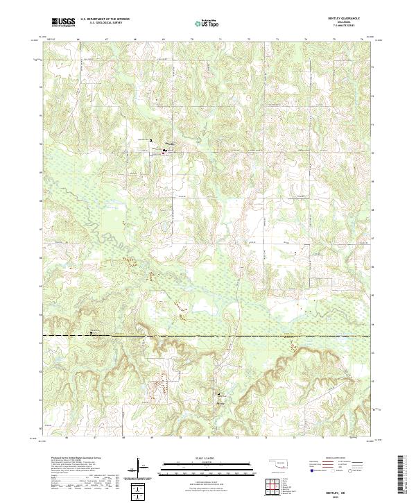 2022 Bentley2022 Print · USGSSoutheastern Oklahoma’s ranching and creek-side landscapes are captured here during the early twenty-first century. Family historians can trace several burial grounds, including Bentley Indian Cem, Turnbull Cem, and Matoy Cem near Clear Boggy Creek.
 - 2022 Map of Boggy Depot, 2022 Print
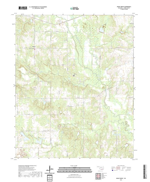 2022 Boggy Depot2022 Print · USGSAtoka County's rural landscape is mapped here in its modern form, preserving historical transit routes and family landmarks. Researchers can trace the legacy of old Boggy Depot at the Boggy Depot Cem or follow the Overland Trl and Butterfield Crossing Rd.
 - 2022 Map of Bruno, 2022 Print
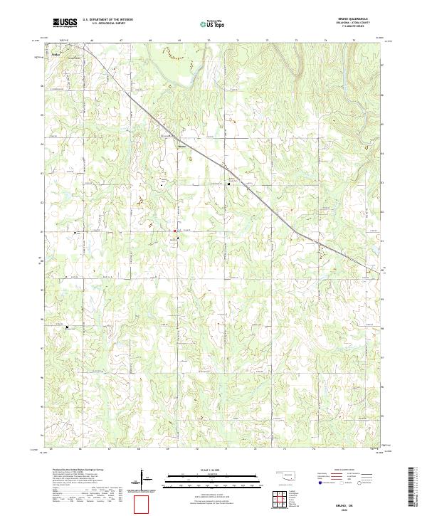 2022 Bruno2022 Print · USGSSoutheastern Oklahoma's rural interior comes into focus during this 2022 survey of the hills near Bruno. Genealogists and local historians can trace burial sites at Harmony Cem and Bera Cem or follow the paths of Muddy Boggy Creek and Little Rock Cr.
 - 2022 Map of Lehigh, 2022 Print
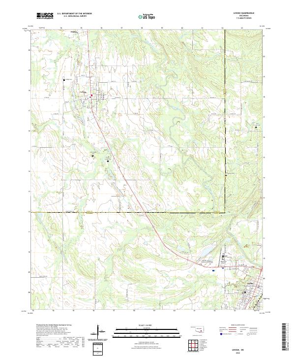 2022 Lehigh2022 Print · USGSSoutheastern Oklahoma's Coal and Atoka counties appear in high detail during the early 2020s, centered on the historic town of Atoka. Researchers can locate several burial grounds like Old Lehigh Cem and the Atoka County Courthouse.
 - 2022 Map of Caney, 2022 Print
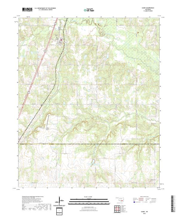 2022 Caney2022 Print · USGSCaney and the surrounding Oklahoma ranchlands are captured here at the start of the 2020s, revealing a landscape of managed reservoirs and family homesteads. Researchers can pinpoint early burial sites at Stewart Gammon Cemetery and Folsom Cemetery or trace the drainage of Clear Boggy Creek near Buffalo Hill.
 - 2022 Map of Tushka, 2022 Print
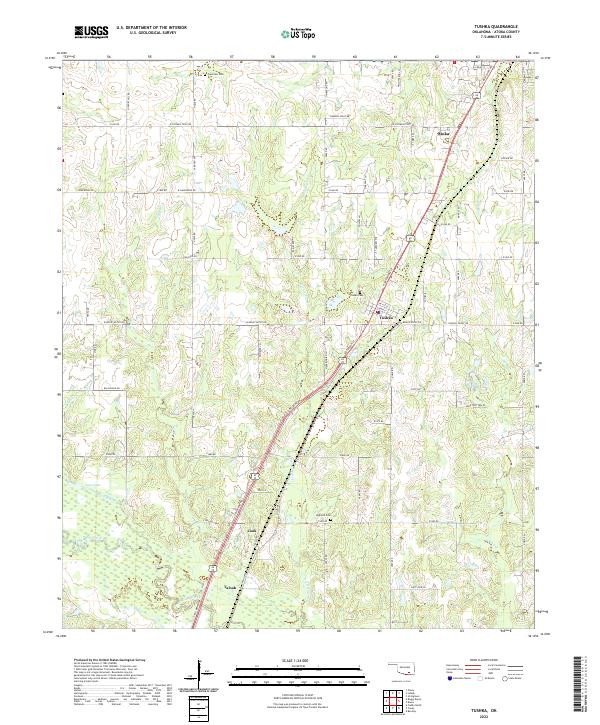 2022 Tushka2022 Print · USGSAtoka County during the early 2020s reveals a landscape where rural settlements like Taloah and Cook sit alongside more established town centers. Researchers can trace the layout of local landmarks including High Hill Cem and Clear Boggy Creek.
 - 2022 Map of Wapanucka South, 2022 Print
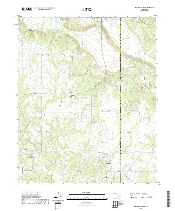 2022 Wapanucka South2022 Print · USGSSouthern Johnston County in the early twenty-first century remains a landscape of quiet settlements and managed creek systems. Researchers can trace family roots through the Enterprise Cem and Hollow Spring Cem or locate rural hubs like Fillmore and Coleman.
 - 2022 Map of Caddo North, 2022 Print
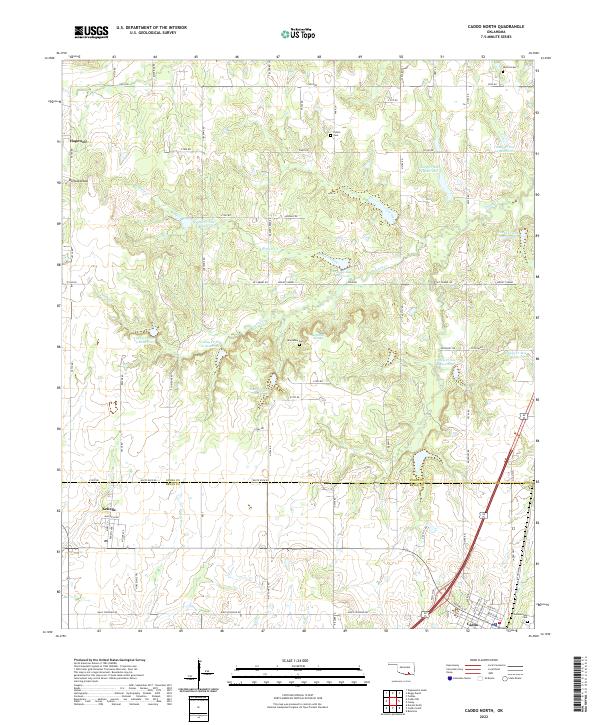 2022 Caddo North2022 Print · USGSThe borderlands of Atoka and Bryan counties appear here during a contemporary period of rural settlement and water management. Genealogists and local historians can trace family sites like Maytubby Cem, the town of Kenefic, and landmarks along Nails Crossing Rd.
 - 2022 Map of Caddo NW, 2022 Print
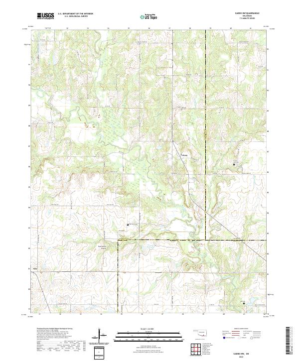 2022 Caddo NW2022 Print · USGSJohnston County at the start of the 2020s remains a landscape of rolling prairies and winding creeks. Local historians can trace family ties at Oak Grove Cem and Center Hill Cem, or explore the reaches of Twelvemile Prairie.
 - 2022 Map of Coalgate, 2022 Print
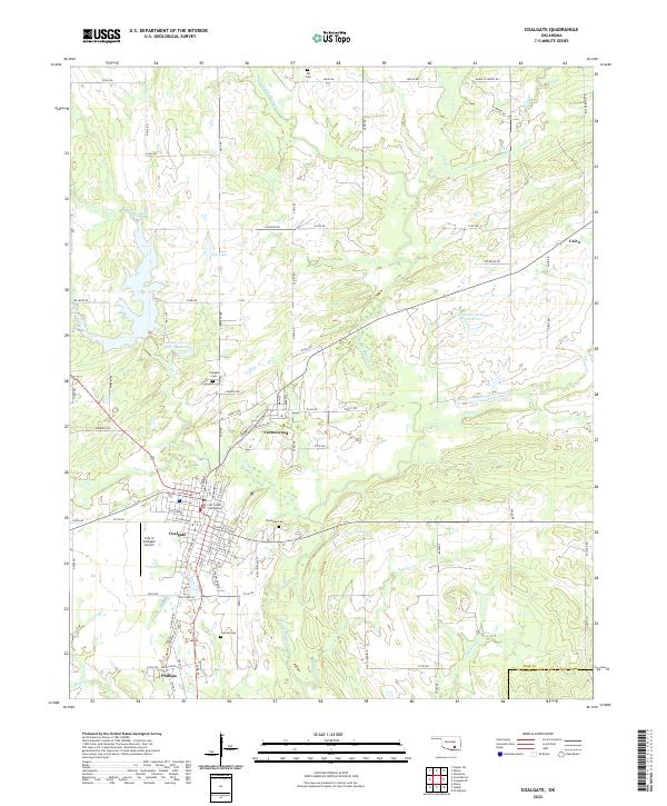 2022 Coalgate2022 Print · USGSCoalgate and its surrounding communities are documented here in the early twenty-first century, showing the established county seat and its neighboring towns. Researchers can locate several burial sites and civic landmarks, including Woodman Cem, Calvary Cem, and the Coal County Courthouse.
 - 2022 Map of Wardville, 2022 Print
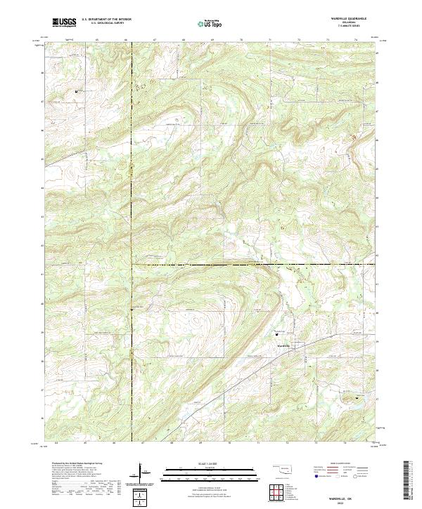 2022 Wardville2022 Print · USGSThis rural portion of Atoka and Coal counties appears in the early twenty-first century as a land of creek-side settlements and family cemeteries. Trace local history through landmarks like Wardville Cem and the geographic character of Salt Prairie.
 - 2022 Map of Coalgate SE, 2022 Print
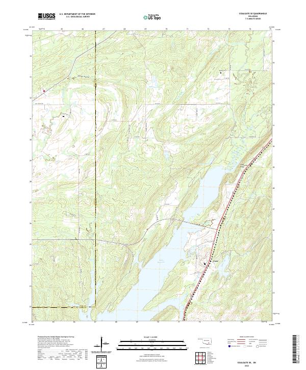 2022 Coalgate SE2022 Print · USGSThe rural boundary of Coal and Atoka counties is captured here in the early twenty-first century as the landscape centers on the Atoka Reservoir. Genealogists and local historians can locate Cairo Cem, the settlement of Flora, and landmarks like Limestone Ridge.
 - 2022 Map of Stringtown, 2022 Print
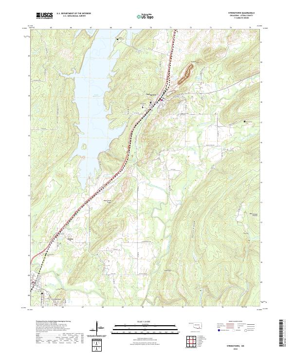 2022 Stringtown2022 Print · USGSAtoka County's reservoir-side landscapes and the town of Stringtown are captured here in the early twenty-first century. Genealogists and local historians can trace family roots through several local sites, including Confederate Cem, Mount Olive Cem, and the prominent Black Knob Ridge.
 - 2022 Map of Olney, 2022 Print
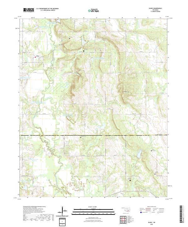 2022 Olney2022 Print · USGSThe Oklahoma cattle and ranching lands between Coal and Atoka counties are documented here in the early twenty-first century. Researchers can locate numerous local burial sites including Whitehall Cem and Standing Rock Cem, alongside the small settlement of Olney.
End of results
Showing maps 1-25 of 25
Top cities of Atoka County
Frequently asked questions
- What are the different types of historical maps available for Atoka County?
- What is the oldest map of Atoka County?
- Where can I purchase historical maps of Atoka County for my home or office?
- Where can I download high-res historical maps of Atoka County?
- Are there historical topographic maps available for Atoka County?
- Is there historical aerial imagery available for Atoka County?
- Where are historical maps of Atoka County sourced from?