Old Maps of Mustang, Oklahoma for Academic Research
Study the evolution of Mustang with 21 high-resolution historic maps. Whether you're teaching, researching, or modeling changes in land use, these maps provide essential visual documentation of urban, environmental, and geographic change.
- Analyze long-term change: Track patterns in development, transportation, and natural features.
- Ideal for environmental or urban studies: Support academic projects with primary historical map data.
- Use in the classroom or lab: Educators and researchers rely on these maps to bring historical context to life.
These maps are a powerful tool for teaching, research, and visualizing how Mustang has changed over the decades.
Mustang, OK maps
(21)- 1893 Map of Oklahoma City
 1893 Oklahoma City1893 Print · USGSOklahoma City and the surrounding territory are captured here in the 1890s, just as the rail lines began transforming the landscape. You can trace early township developments and find the historic border between the Oklahoma territory and the Chickasaw Nation near Walden and Clancy.
 - 1893 Map of Minco
 1893 Minco1893 Print · USGSIndian Territory and the Chickasaw Nation lands meet at the turn of the century along the Canadian River. Genealogists can trace early homesteading patterns near Minco and along the Chicago Rock Island and Pacific Rail Road.
 - 1904 Map of Chickasha
 1904 Chickasha1904 Print · USGSIndian Territory and Oklahoma Territory meet in this detailed 1904 survey, showing the region just years before statehood. Genealogists can trace the early rail stops at Minco and Tuttle or locate family homesteads near Womack and Dibble.4 unique versions available
 - 1954 Map of Oklahoma City
 1954 Oklahoma City1954 Print · USGSOklahoma City and its surrounding counties are captured here in the early fifties during a period of significant postwar growth. Researchers can trace the development of the Turner Turnpike and locate aviation hubs like Tinker Field or Will Rogers Field.
 - 1956 Map of Oklahoma City, 1957 Print
 1956 Oklahoma City1957 Print · USGSCentral Oklahoma in the mid-fifties shows the transition from a rail-centered capital to a modern aviation and oil hub. Researchers can trace family roots through neighborhood landmarks like St Patricks Sch, Fairlawn Cem, and the old Union Station.2 unique versions available
 - 1957 Map of Oklahoma City, 1969 Print
 1957 Oklahoma City1969 Print · USGSCentral Oklahoma is captured here in a period of significant mid-century growth and industrialization. Researchers can trace family roots through numerous rural markers like Memory Lane Cem, New Hope School, and the sprawling grounds of Tinker Air Force Base.3 unique versions available
 - 1963 Map of Oklahoma City
 1963 Oklahoma City1963 Print · USGSCentral Oklahoma in the early sixties showcases a landscape of rapid suburban growth and established oil production. Researchers can trace historic rail lines like the Chicago Rock Island and Pacific RR or locate rural landmarks such as Mayflower School and Bethel Church.
 - 1966 Map of Minco NE, 1967 Print
 1966 Minco NE1967 Print · USGSCanadian County in the mid-1960s shows the suburban expansion of Oklahoma City meeting established rural communities. Local historians can trace the foundations of Yukon and El Reno or locate sites like Forehand Cem and the Banner Sch.3 unique versions available
 - 1966 Map of Mustang, 1967 Print
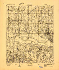
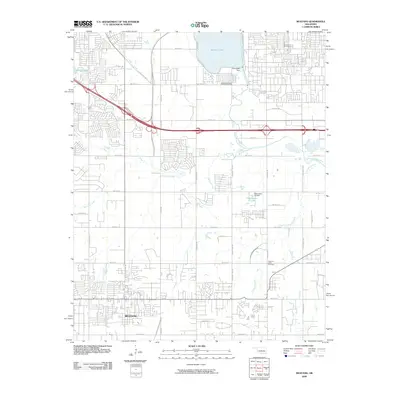
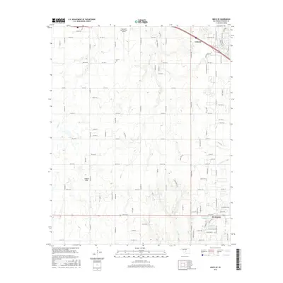
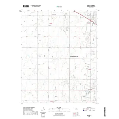
 1966 Mustang1967 Print · USGSThe Oklahoma prairie west of the capital city was rapidly evolving in the mid-sixties as suburban growth pushed into Mustang and Yukon. Genealogists and historians can locate old landmarks like Pleasant Valley Cem, Wheatland, and Mustang Valley Sch along the river basin.3 unique versions available
 - 1985 Map of Oklahoma City South
 1985 Oklahoma City South1985 Print · USGSOklahoma City and its southern neighbors show a period of significant growth during the mid-eighties as suburban expansion met rural county lines. Researchers can trace the development of Tinker Air Force Base and locate smaller communities like Goldsby, Stella, and Woody Chapel.2 unique versions available
 - 1986 Map of Mustang, 1987 Print
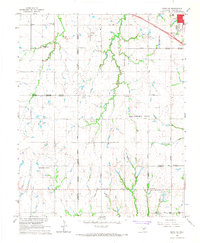
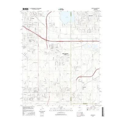
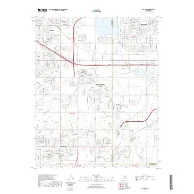
 1986 Mustang1987 Print · USGSGreater Oklahoma City was rapidly evolving in the 1980s as suburban life and industrial development integrated with the existing rural landscape. Researchers can trace the layout of growing neighborhoods near Lake Overholser or locate historical sites like Wheatland and the Pleasant Valley Cem.
 - 2009 Map of Mustang, 2009 Print
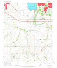
 2009 Mustang2009 Print · USGSCovers Mustang, including Oklahoma City, Yukon, and other nearby areas
 - 2009 Map of Minco NE, 2009 Print
 2009 Minco NE2009 Print · USGSCovers Mustang, including Oklahoma City, Yukon, and other nearby areas
 - 2012 Map of Minco NE, 2012 Print
 2012 Minco NE2012 Print · USGSCovers Mustang, including Oklahoma City, Yukon, and other nearby areas
 - 2012 Map of Mustang, 2012 Print
 2012 Mustang2012 Print · USGSCovers Mustang, including Oklahoma City, Yukon, and other nearby areas
 - 2016 Map of Minco NE, 2016 Print
 2016 Minco NE2016 Print · USGSCovers Mustang, including Oklahoma City, Yukon, and other nearby areas
 - 2016 Map of Mustang, 2016 Print
 2016 Mustang2016 Print · USGSCovers Mustang, including Oklahoma City, Yukon, and other nearby areas
 - 2018 Map of Minco NE, 2018 Print
 2018 Minco NE2018 Print · USGSCovers Mustang, including Oklahoma City, Yukon, and other nearby areas
 - 2018 Map of Mustang, 2018 Print
 2018 Mustang2018 Print · USGSCovers Mustang, including Oklahoma City, Yukon, and other nearby areas
 - 2022 Map of Minco NE, 2022 Print
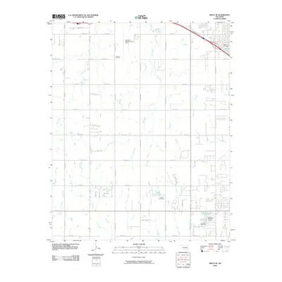
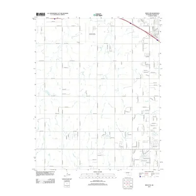
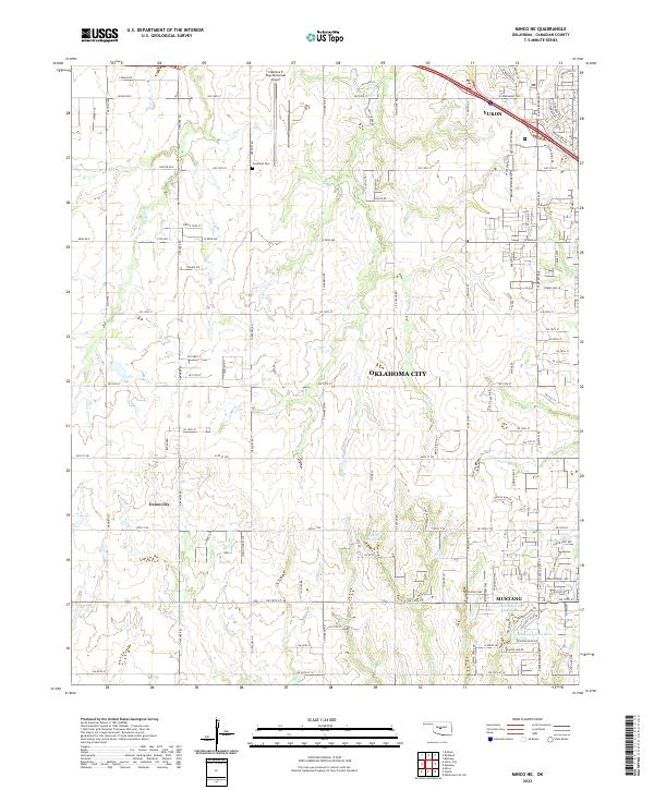 2022 Minco NE2022 Print · USGSThe western Oklahoma City outskirts reveal a landscape of rapid suburban growth in the early 2000s. Genealogists and local historians can locate Forehand Cem or trace the development around Mustang and Union City.
 - 2022 Map of Mustang, 2022 Print
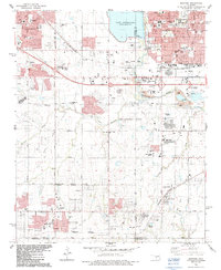
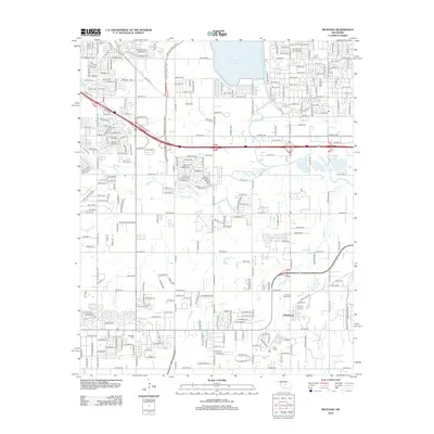
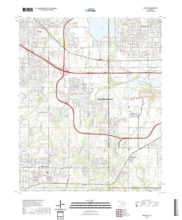 2022 Mustang2022 Print · USGSMustang and the western Oklahoma City suburbs are seen here during a period of rapid development and connectivity. Researchers can trace family sites at Mustang Cem or locate the historic crossing points near the North Canadian River and Wheatland.
End of results
Showing maps 1-21 of 21
Top cities near Mustang
- Oklahoma City historical maps
- Norman historical maps
- Edmond historical maps
- Moore historical maps
- Yukon historical maps
- Bethany historical maps
See more
Frequently asked questions
- What are the different types of historical maps available for Mustang?
- What is the oldest map of Mustang?
- Where can I purchase historical maps of Mustang for my home or office?
- Where can I download high-res historical maps of Mustang?
- Are there historical topographic maps available for Mustang?
- Is there historical aerial imagery available for Mustang?
- Where are historical maps of Mustang sourced from?