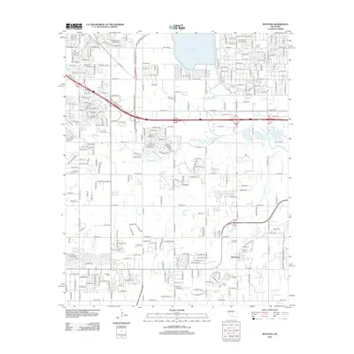
2012 Map of Mustang
USGS Topo · Published 2012About this map
The settlement of Wheatland sits at the intersection of rural heritage and suburban expansion, anchored by long-standing local landmarks. This landscape is defined by the drainage of the North Canadian River and its tributaries, including Mustang Cr and Campbell Cr. Local history is preserved at the Mustang Cem and Pleasant Valley Cem, providing key points of interest for genealogists tracking early families in this part of Oklahoma. Residential growth is evident in the grid of streets such as W Vandament Ave and W Reno Ave, while water features like Ramsey Lake and Mulvey Pond break the pattern of development. The area demonstrates a transition from a dedicated agricultural community toward a modern residential corridor west of the state capital.
Find a feature on this map
57 named features on this map. Tap any name to fly to it.
Don’t see what you’re looking for? This feature index may not catch every label — zoom into the map to look around manually.
Map Details
Editions of this 2012 Mustang Map
This is the sole edition of this map. No revisions or reprints were ever made.
Other maps of this area

1892 · Kingfisher
USGS Topo · 1:125,000

1893 · Oklahoma City
USGS Topo · 1:62,500

1893 · Minco
USGS Topo · 1:62,500

1895 · Kingfisher
USGS Topo · 1:125,000

1904 · Chickasha
USGS Topo · 1:125,000

1951 · Britton
USGS Topo · 1:24,000

1954 · Oklahoma City
USGS Topo · 1:250,000

1956 · Oklahoma City
USGS Topo · 1:24,000

1956 · Oklahoma City
USGS Topo · 1:62,500

1956 · Oklahoma City SE
USGS Topo · 1:24,000