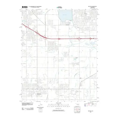
2009 Map of Mustang
USGS Topo · Published 2009About this map
The growing suburban landscape of Mustang defines the southern portion of this region, reflecting the rapid expansion of the Oklahoma City metro area during the early 21st century. The map highlights a transition from dense residential development near Mustang to more varied terrain to the north, where the North Canadian River flows toward the Overholser Dam. A significant cultural landmark, Czech Hall, stands in the northwest, representing the area's immigrant heritage and community history.
Find a feature on this map
45 named features on this map. Tap any name to fly to it.
Don’t see what you’re looking for? This feature index may not catch every label — zoom into the map to look around manually.
Map Details
Editions of this 2009 Mustang Map
This is the sole edition of this map. No revisions or reprints were ever made.
Other maps of this area

1892 · Kingfisher
USGS Topo · 1:125,000

1893 · Oklahoma City
USGS Topo · 1:62,500

1893 · Minco
USGS Topo · 1:62,500

1895 · Kingfisher
USGS Topo · 1:125,000

1904 · Chickasha
USGS Topo · 1:125,000

1951 · Britton
USGS Topo · 1:24,000

1954 · Oklahoma City
USGS Topo · 1:250,000

1956 · Oklahoma City
USGS Topo · 1:24,000

1956 · Oklahoma City
USGS Topo · 1:62,500

1956 · Oklahoma City SE
USGS Topo · 1:24,000