2000s (21st Century) Maps of Healdton, Oklahoma
Explore 20 historic maps of Healdton from the 2000s (21st Century). These maps offer a rare glimpse into what life looked like during the 2000s — showing old roads, neighborhoods, homes, and landmarks that have changed or disappeared over time.
Whether you're researching your family's past, planning a metal detecting trip, or studying how Healdton's landscape evolved across the 2000s, these high-resolution maps are a powerful tool for exploring the history of this region.
- Focus on a specific era: All maps on this page are from the 2000s, giving you a focused view of this time period.
- See what’s changed: Compare century-old streets, trails, and buildings to today's modern landscape using overlays and satellite layers.
- Research with precision: Use these maps for genealogy, historical research, land use analysis, or educational projects.
- View, download, or print: Maps are fully viewable online in high resolution, and can be downloaded or printed for your own records.
Start exploring Healdton's history through authentic maps from the 2000s. This is your window into the past.
Healdton, OK maps
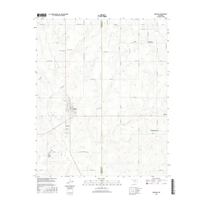
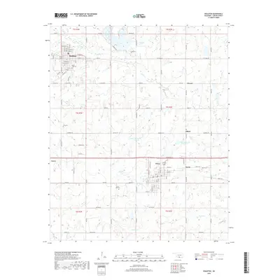
(20)- 2009 Map of Ringling, 2009 Print
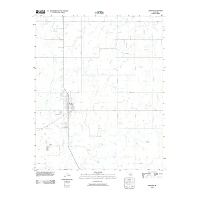 2009 Ringling2009 Print · USGSCovers Healdton, including Ringling, Cornish, and other nearby areas
 - 2009 Map of Healdton, 2009 Print
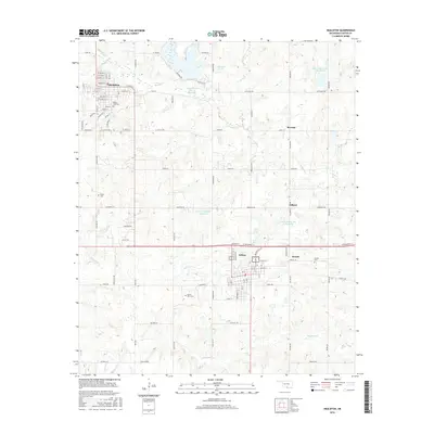
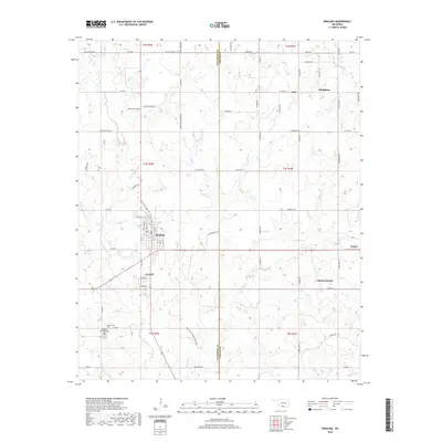
 2009 Healdton2009 Print · USGSCovers Healdton, including Wilson, Zaneis, and other nearby areas
 - 2010 Map of Cottonwood Creek, 2010 Print
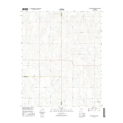
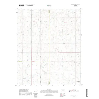
 2010 Cottonwood Creek2010 Print · USGSCovers Healdton, including Carter County, Stephens County, and other nearby areas
 - 2010 Map of Fox, 2010 Print
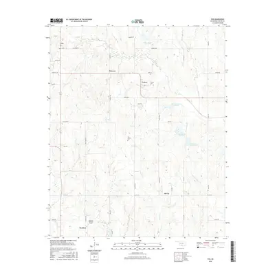
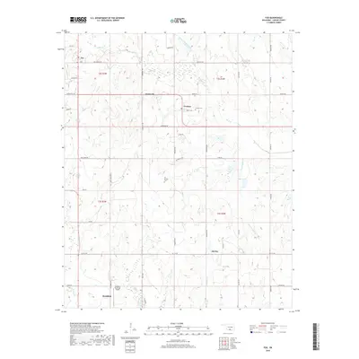
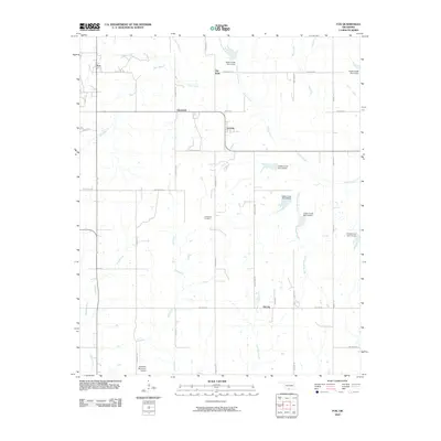 2010 Fox2010 Print · USGSCovers Healdton, including Graham, Oil City, and other nearby areas
 - 2012 Map of Cottonwood Creek, 2012 Print
 2012 Cottonwood Creek2012 Print · USGSCovers Healdton, including Carter County, Stephens County, and other nearby areas
 - 2012 Map of Ringling, 2012 Print
 2012 Ringling2012 Print · USGSCovers Healdton, including Ringling, Cornish, and other nearby areas
 - 2012 Map of Fox, 2012 Print
 2012 Fox2012 Print · USGSCovers Healdton, including Graham, Oil City, and other nearby areas
 - 2012 Map of Healdton, 2012 Print
 2012 Healdton2012 Print · USGSCovers Healdton, including Wilson, Zaneis, and other nearby areas
 - 2016 Map of Fox, 2016 Print
 2016 Fox2016 Print · USGSCovers Healdton, including Graham, Oil City, and other nearby areas
 - 2016 Map of Healdton, 2016 Print
 2016 Healdton2016 Print · USGSCovers Healdton, including Wilson, Zaneis, and other nearby areas
 - 2016 Map of Cottonwood Creek, 2016 Print
 2016 Cottonwood Creek2016 Print · USGSCovers Healdton, including Carter County, Stephens County, and other nearby areas
 - 2016 Map of Ringling, 2016 Print
 2016 Ringling2016 Print · USGSCovers Healdton, including Ringling, Cornish, and other nearby areas
 - 2018 Map of Ringling, 2018 Print
 2018 Ringling2018 Print · USGSCovers Healdton, including Ringling, Cornish, and other nearby areas
 - 2018 Map of Healdton, 2018 Print
 2018 Healdton2018 Print · USGSCovers Healdton, including Wilson, Zaneis, and other nearby areas
 - 2018 Map of Fox, 2018 Print
 2018 Fox2018 Print · USGSCovers Healdton, including Graham, Oil City, and other nearby areas
 - 2018 Map of Cottonwood Creek, 2018 Print
 2018 Cottonwood Creek2018 Print · USGSCovers Healdton, including Carter County, Stephens County, and other nearby areas
 - 2022 Map of Ringling, 2022 Print
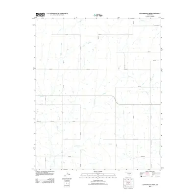
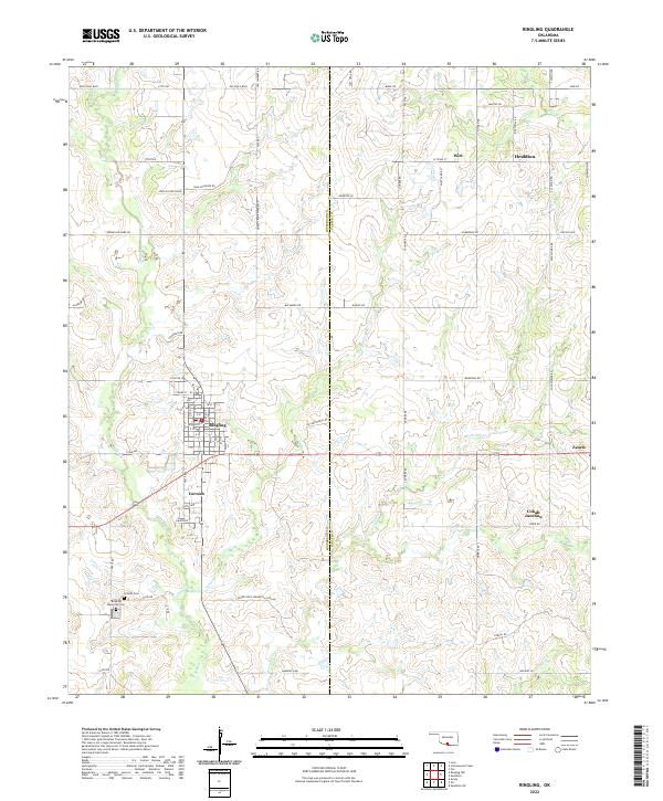 2022 Ringling2022 Print · USGSThe crossroads of Ringling and Cornish are captured here in the early twenty-first century, surrounded by a dense network of family-named roads and oil-industry paths. Researchers can locate local landmarks like Cornish Cem, Cobalt Junction, and the winding Post Oak Cr.
 - 2022 Map of Cottonwood Creek, 2022 Print
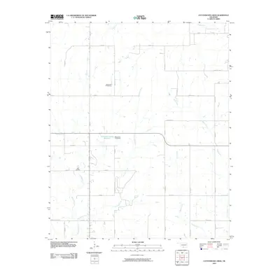
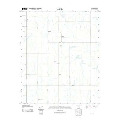
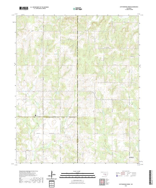 2022 Cottonwood Creek2022 Print · USGSSouthern Oklahoma's three-county borderlands near the city of Healdton are detailed here in the early twenty-first century. Researchers can trace rural cemeteries and local landmarks including Dixie Cem, Whisky Cr, and the uniquely named Convict Hill Rd.
 - 2022 Map of Fox, 2022 Print
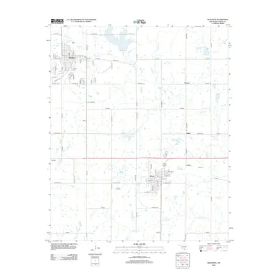
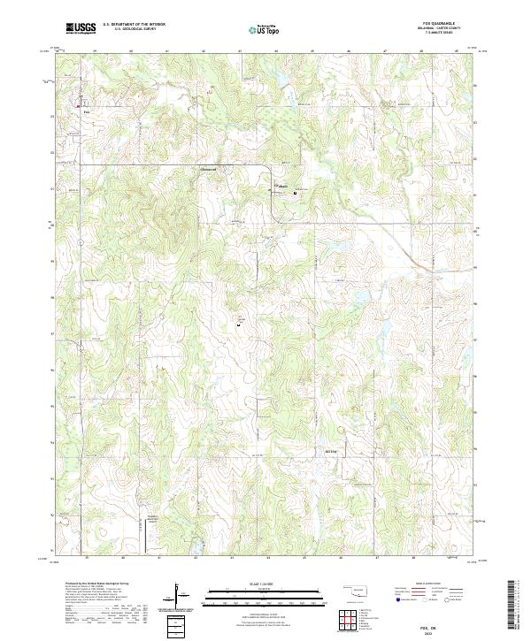 2022 Fox2022 Print · USGSOklahoma's oil country comes into focus in this recent survey of the Carter County landscape. Genealogists and historians can trace the rural communities of Fox, Graham, and Clemscott, alongside landmarks like Graham Cem and Oil Springs Cem.
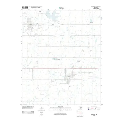
 - 2022 Map of Healdton, 2022 Print
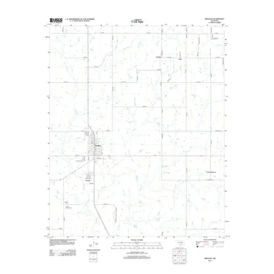
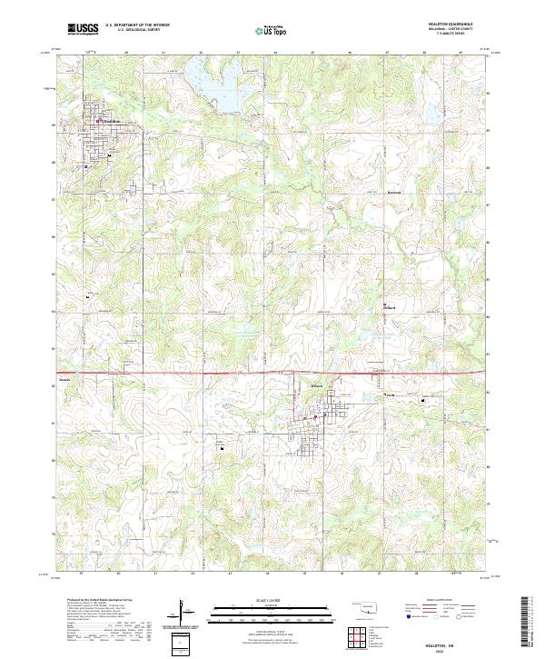 2022 Healdton2022 Print · USGSHealdton and the surrounding Carter County oil patch are documented in this contemporary survey. Genealogists can locate family-named landmarks like Mount Olive Cem, Bailey Cem, and the small settlement of Rexroat.
End of results
Showing maps 1-20 of 20
Top cities near Healdton
- Duncan historical maps
- Lone Grove historical maps
- Wilson historical maps
- Ringling historical maps
- Velma historical maps
- Cornish historical maps
See more
Top neighborhoods of Healdton
Frequently asked questions
- What are the different types of historical maps available for Healdton?
- What is the oldest map of Healdton?
- Where can I purchase historical maps of Healdton for my home or office?
- Where can I download high-res historical maps of Healdton?
- Are there historical topographic maps available for Healdton?
- Is there historical aerial imagery available for Healdton?
- Where are historical maps of Healdton sourced from?