Old Maps of Healdton, Oklahoma for Academic Research
Study the evolution of Healdton with 30 high-resolution historic maps. Whether you're teaching, researching, or modeling changes in land use, these maps provide essential visual documentation of urban, environmental, and geographic change.
- Analyze long-term change: Track patterns in development, transportation, and natural features.
- Ideal for environmental or urban studies: Support academic projects with primary historical map data.
- Use in the classroom or lab: Educators and researchers rely on these maps to bring historical context to life.
These maps are a powerful tool for teaching, research, and visualizing how Healdton has changed over the decades.
Healdton, OK maps
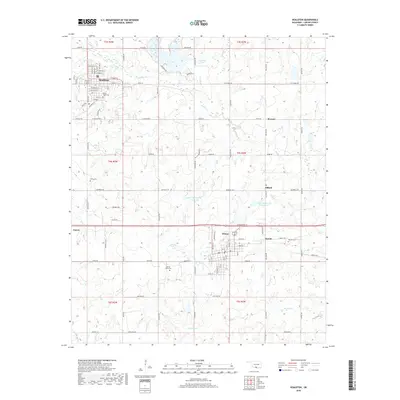
(30)- 1901 Map of Addington
 1901 Addington1901 Print · USGSThe Chickasaw Nation at the turn of the century shows a landscape transitioning from cattle trails to rail commerce. Local historians can trace the Chisholm Trail and the Chicago Rock Island and Pacific rail line through Duncan, Comanche, and Addington.6 unique versions available
 - 1901 Map of Ardmore
 1901 Ardmore1901 Print · USGSThe Chickasaw Nation of Indian Territory is captured here at the turn of the century, showing a landscape of burgeoning rail towns and early industry. Researchers can trace the Gulf Colorado and Santa Fe line through Ardmore or locate early Asphalt Mine sites near Newport.6 unique versions available
 - 1918 Map of Ardmore
 1918 Ardmore1918 Print · USGSSouthern Oklahoma was a hub of energy production and rail traffic during the late teens. Researchers can trace the early infrastructure of the Healdton Oil Fields, find vanished sites like Joiner City, or locate the Post Oak School.
 - 1957 Map of Ardmore, 1968 Print
 1957 Ardmore1968 Print · USGSSouth-central Oklahoma in the late fifties was a landscape of rising reservoir waters and expanding rail lines. Genealogists and historians can trace the foundations of Ardmore and Duncan or locate early recreation sites at Platt National Park and Lake Murray State Park.3 unique versions available
 - 1963 Map of Ardmore
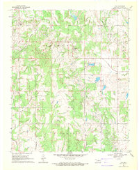
 1963 Ardmore1963 Print · USGSSouthern Oklahoma during the early sixties shows a landscape defined by the Arbuckle Mountains and a booming energy economy. Genealogists and historians can trace family-named sites across the Ardmore Oil Field, find old schools like Southeastern State College, or locate historic markers such as Boggy Depot State Park.2 unique versions available
 - 1969 Map of Healdton, 1971 Print
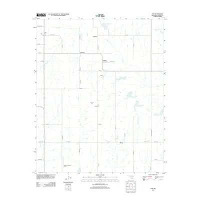
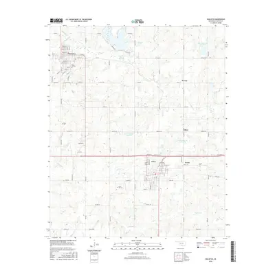
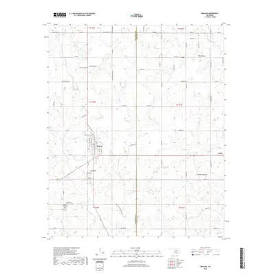
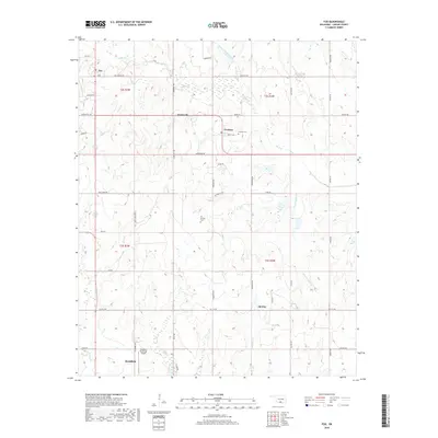
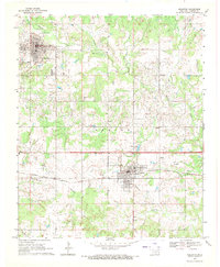 1969 Healdton1971 Print · USGSOil extraction and rail commerce define this Oklahoma landscape during the late sixties. Researchers can trace family history at Mt Olive Cemetery and explore the industrial layout of Hewitt Field between the towns of Healdton and Wilson.
 - 1969 Map of Fox, 1971 Print
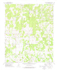
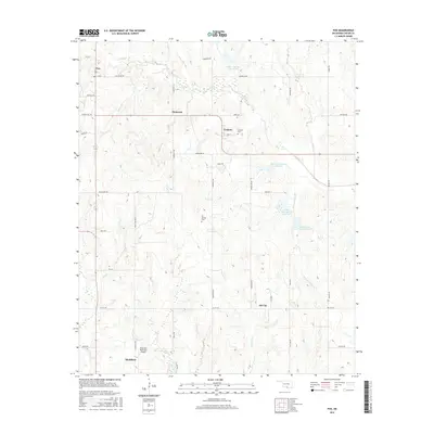
 1969 Fox1971 Print · USGSOil extraction and rural life converge in Carter County during the late 1960s, showing the extensive infrastructure of the local petroleum industry. Researchers can pinpoint early oil well locations, follow the path of Hug-me-tight Branch, and locate landmarks like Midway Ch and Oil Springs Cem.
 - 1974 Map of Cottonwood Creek, 1977 Print
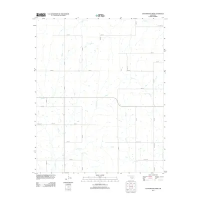
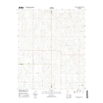
 1974 Cottonwood Creek1977 Print · USGSIn the mid-1970s, this pocket of southern Oklahoma was a hub of energy production where the Loco Field met cattle-country creeks. Researchers can trace historical oil infrastructure alongside local landmarks like the Asphaltum Ch and Dixie Cemetery.
 - 1974 Map of Ringling, 1977 Print
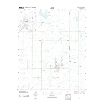
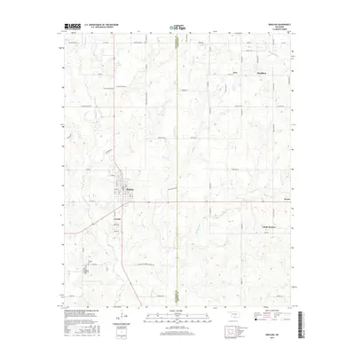
 1974 Ringling1977 Print · USGSSouthern Oklahoma oil country comes into focus in the 1970s, showcasing the industrial footprint of the Hewitt Oil Field and the surrounding rail towns. Genealogists can trace family sites at the Cornish Cem and IOOF Cem or locate former rail stops like Cobalt Junction.
 - 1986 Map of Ardmore
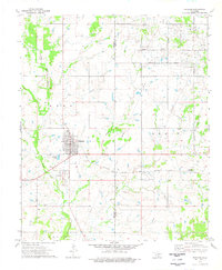
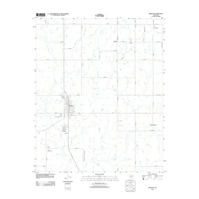
 1986 Ardmore1986 Print · USGSSouthern Oklahoma in the mid-eighties was a landscape of rugged geology and deep petroleum roots. Genealogists and historians can trace the development of Ardmore and Healdon alongside the vast Sholem Alechem Oil Field and the rails of the AT & SF RR.2 unique versions available
 - 2009 Map of Ringling, 2009 Print
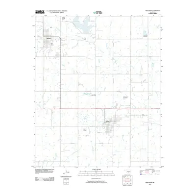
 2009 Ringling2009 Print · USGSCovers Healdton, including Ringling, Cornish, and other nearby areas
 - 2009 Map of Healdton, 2009 Print
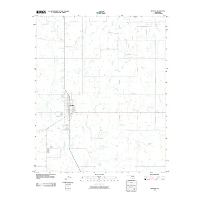
 2009 Healdton2009 Print · USGSCovers Healdton, including Wilson, Zaneis, and other nearby areas
 - 2010 Map of Cottonwood Creek, 2010 Print
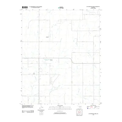 2010 Cottonwood Creek2010 Print · USGSCovers Healdton, including Carter County, Stephens County, and other nearby areas
 - 2010 Map of Fox, 2010 Print
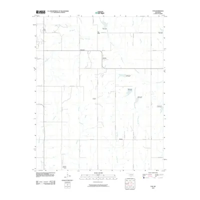 2010 Fox2010 Print · USGSCovers Healdton, including Graham, Oil City, and other nearby areas
 - 2012 Map of Cottonwood Creek, 2012 Print
 2012 Cottonwood Creek2012 Print · USGSCovers Healdton, including Carter County, Stephens County, and other nearby areas
 - 2012 Map of Ringling, 2012 Print
 2012 Ringling2012 Print · USGSCovers Healdton, including Ringling, Cornish, and other nearby areas
 - 2012 Map of Fox, 2012 Print
 2012 Fox2012 Print · USGSCovers Healdton, including Graham, Oil City, and other nearby areas
 - 2012 Map of Healdton, 2012 Print
 2012 Healdton2012 Print · USGSCovers Healdton, including Wilson, Zaneis, and other nearby areas
 - 2016 Map of Fox, 2016 Print
 2016 Fox2016 Print · USGSCovers Healdton, including Graham, Oil City, and other nearby areas
 - 2016 Map of Healdton, 2016 Print
 2016 Healdton2016 Print · USGSCovers Healdton, including Wilson, Zaneis, and other nearby areas
 - 2016 Map of Cottonwood Creek, 2016 Print
 2016 Cottonwood Creek2016 Print · USGSCovers Healdton, including Carter County, Stephens County, and other nearby areas
 - 2016 Map of Ringling, 2016 Print
 2016 Ringling2016 Print · USGSCovers Healdton, including Ringling, Cornish, and other nearby areas
 - 2018 Map of Ringling, 2018 Print
 2018 Ringling2018 Print · USGSCovers Healdton, including Ringling, Cornish, and other nearby areas
 - 2018 Map of Healdton, 2018 Print
 2018 Healdton2018 Print · USGSCovers Healdton, including Wilson, Zaneis, and other nearby areas
 - 2018 Map of Fox, 2018 Print
 2018 Fox2018 Print · USGSCovers Healdton, including Graham, Oil City, and other nearby areas
Showing maps 1-25 of 30
Top cities near Healdton
- Duncan historical maps
- Lone Grove historical maps
- Wilson historical maps
- Ringling historical maps
- Velma historical maps
- Cornish historical maps
See more
Top neighborhoods of Healdton
Frequently asked questions
- What are the different types of historical maps available for Healdton?
- What is the oldest map of Healdton?
- Where can I purchase historical maps of Healdton for my home or office?
- Where can I download high-res historical maps of Healdton?
- Are there historical topographic maps available for Healdton?
- Is there historical aerial imagery available for Healdton?
- Where are historical maps of Healdton sourced from?