2010s Maps of Cherokee County, Oklahoma
Explore 84 historic maps of Cherokee County from the 2010s. These maps offer a rare glimpse into what life looked like during the 2010s — showing old roads, neighborhoods, homes, and landmarks that have changed or disappeared over time.
Whether you're researching your family's past, planning a metal detecting trip, or studying how Cherokee County's landscape evolved across the 2010s, these high-resolution maps are a powerful tool for exploring the history of this region.
- Focus on a specific era: All maps on this page are from the 2010s, giving you a focused view of this time period.
- See what’s changed: Compare century-old streets, trails, and buildings to today's modern landscape using overlays and satellite layers.
- Research with precision: Use these maps for genealogy, historical research, land use analysis, or educational projects.
- View, download, or print: Maps are fully viewable online in high resolution, and can be downloaded or printed for your own records.
Start exploring Cherokee County's history through authentic maps from the 2010s. This is your window into the past.
Cherokee County, OK maps
(84)- 2010 Map of Chewey, 2010 Print
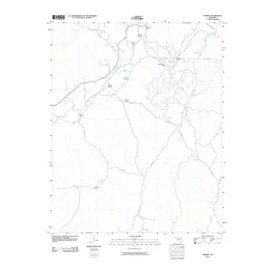 2010 Chewey2010 Print · USGSAdair County’s river bluffs and deep hollows are documented here during the early twenty-first century. Researchers can locate the Thompson Cemetery and trace the winding paths of Kirk Springs Hollow Rd and Chewey Rd along the Illinois River.
 - 2010 Map of Leach, 2010 Print
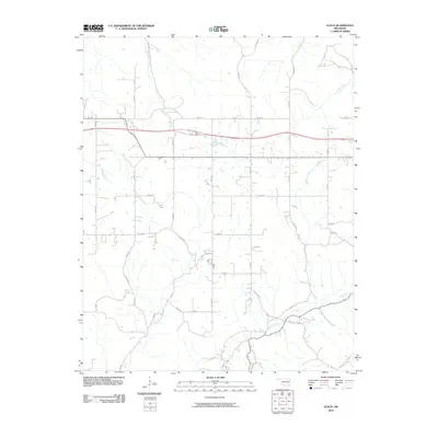 2010 Leach2010 Print · USGSDelaware County at the start of the 2010s reveals a quiet landscape of rural homesteads and winding Ozark streams. Genealogists and local historians can trace family properties along Saline Creek, Double Spring Creek, and the historical N Old Toll Gate Rd.
 - 2010 Map of Bunch, 2010 Print
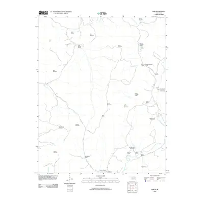 2010 Bunch2010 Print · USGSCherokee County at the turn of the decade is defined by a intricate system of hollows and ridges managed by the Sallisaw Creek watershed project. Genealogists and local historians can trace family-named landmarks like Walkingstick Hollow and Flute Springs Cemetery.
 - 2010 Map of Park Hill, 2010 Print
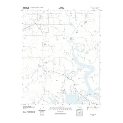 2010 Park Hill2010 Print · USGSOklahoma's Cherokee County is mapped here in the early twenty-first century, showing the intersection of the Illinois River and Tenkiller Lake. Genealogists and local historians can trace family burial sites at Park Hill Cemetery and Ross Cemetery or locate Camp Darby along the river bluffs.
 - 2010 Map of Moodys, 2010 Print
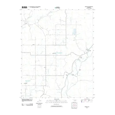 2010 Moodys2010 Print · USGSCherokee County in the early twenty-first century is a landscape of winding river valleys and managed water resources. Genealogists and local historians can locate Teresita Cemetery, trace the Illinois River to Combs Bridge, or explore the settlement at Liberty.
 - 2010 Map of Proctor, 2010 Print
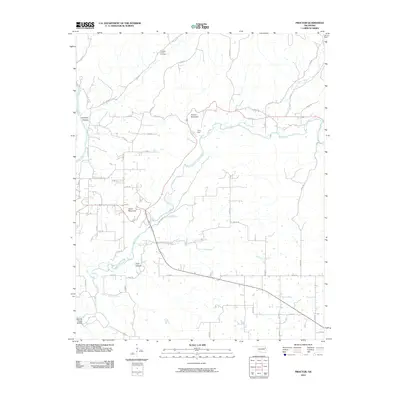 2010 Proctor2010 Print · USGSThe Oklahoma Ozarks at the start of the 21st century are documented here through the rugged terrain of Cherokee County. Trace the winding Baron Fork to find Mining Camp Hollow, Pumpkin Center, and the ridges of Proctor Mountain.
 - 2010 Map of Tahlequah, 2010 Print
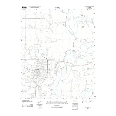 2010 Tahlequah2010 Print · USGSTahlequah and its surrounding river valleys are captured here in the early twenty-first century as the city expanded across the Oklahoma landscape. Researchers can trace family sites near Tahlequah Cemetery or explore the terrain surrounding Sparrow Hawk Mountain and Tenkiller Lake.
 - 2010 Map of Hulbert, 2010 Print
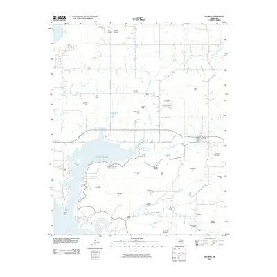 2010 Hulbert2010 Print · USGSHulbert and the surrounding Cherokee County highlands are captured here during the first decade of the 2000s. Researchers can locate numerous family-named landmarks and rural burial grounds, including Hare Cemetery, Waford Mountain, and Peckerwood Hill.
 - 2010 Map of Rose, 2010 Print
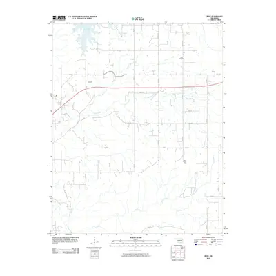 2010 Rose2010 Print · USGSMayes County’s rural landscape is captured here in the early twenty-first century as the countryside remained centered on family lands and waterways. Local researchers can locate family burial sites at Rose Cemetery and Little Rock Cemetery or trace the winding course of Snake Creek.
 - 2010 Map of Thompson Corner, 2010 Print
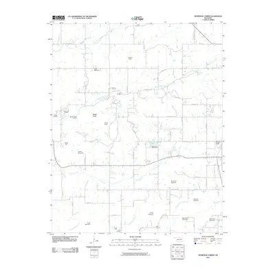 2010 Thompson Corner2010 Print · USGSCherokee County, Oklahoma, is shown here in the early twenty-first century, revealing a rural community centered around Shady Grove. Genealogists and local historians can locate several family cemeteries, including Miller Cemetery and Eureka Cemetery, alongside peaks like Sugar Mountain.
 - 2010 Map of Braggs, 2010 Print
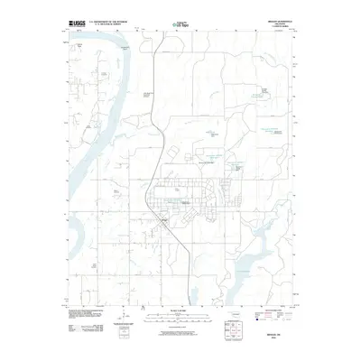 2010 Braggs2010 Print · USGSMuskogee County in the early 21st century is characterized by the expansive military grounds of Camp Gruber and the winding Arkansas River. Genealogists and historians can locate several family burial sites including Harnage Cemetery and Harris Cemetery near Braggs.
 - 2010 Map of Qualls, 2010 Print
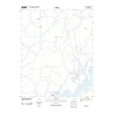 2010 Qualls2010 Print · USGSOklahoma's Cookson Hills region comes into focus in the early twenty-first century as the Illinois River flows toward the Tenkiller Lake reservoir. Researchers can locate family landmarks like Sellers Cemetery or trace the winding course of Burnt Cabin Creek and Greenleaf Creek through the mountains.
 - 2010 Map of Northeast Muskogee, 2010 Print
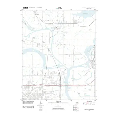 2010 Northeast Muskogee2010 Print · USGSMuskogee and its surrounding river valleys are captured here in the early twenty-first century, showing the meeting of the Arkansas, Neosho, and Verdigris Rivers. Genealogists and local historians can trace burial sites like Marshall Cemetery and New Hope Cemetery or locate the landmark Fort Gibson Stockade.
 - 2010 Map of Fort Gibson Dam, 2010 Print
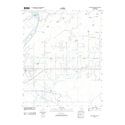 2010 Fort Gibson Dam2010 Print · USGSFort Gibson and the Neosho River valley appear in high detail during the early twenty-first century. Genealogists and historians can locate numerous burial sites, including the Fort Gibson National Cemetery, Walker Cemetery, and Starnes Cemetery.
 - 2010 Map of Kansas, 2010 Print
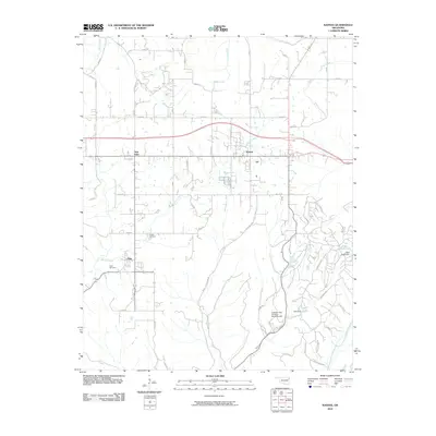 2010 Kansas2010 Print · USGSNortheastern Oklahoma's Delaware County is documented here during the early twenty-first century as rural communities and local waterways defined the landscape. Researchers can locate family landmarks such as Oaks Cemetery, the settlement of Twin Oaks, and the Illinois River valley.
 - 2010 Map of Cookson, 2010 Print
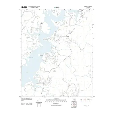 2010 Cookson2010 Print · USGSThe eastern shores of Tenkiller Lake are captured here at the start of the 2010s. Local researchers can trace the roads around Cookson, locate the Cookson Cemetery, or explore the geography of Wildhorse Mountain and Chicken Creek Island.
 - 2010 Map of Tailholt, 2010 Print
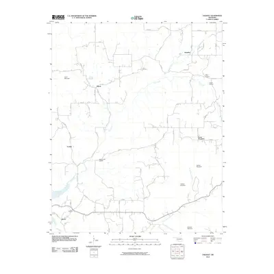 2010 Tailholt2010 Print · USGSCherokee County in the early 2000s retains a rural character defined by the winding Illinois River and isolated mountain ridges. Genealogists can locate several family landmarks and burial sites, including Barber Cemetery, Caney Cemetery, and the community of Tailholt.
 - 2010 Map of Wagoner East, 2010 Print
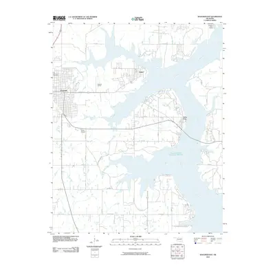 2010 Wagoner East2010 Print · USGSWagoner County at the start of the 2010s shows a landscape defined by the expansive waters of the Neosho River. Genealogists and local historians can locate Elmwood Cemetery, the Wagoner Airstrip, and the lakeside community of Taylor Ferry.
 - 2010 Map of Zeb, 2010 Print
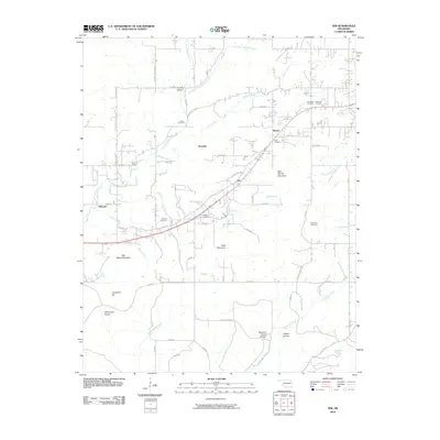 2010 Zeb2010 Print · USGSCherokee County, Oklahoma, is documented here in the early twenty-first century, showcasing a rural landscape defined by Ozark foothills and numerous springs. Genealogists can trace family heritage through sites like Lowrey Cemetery, Price Cemetery, and the hills around Woodall and Metory.
 - 2010 Map of Peggs, 2010 Print
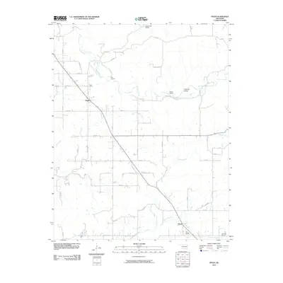 2010 Peggs2010 Print · USGSCherokee County at the opening of the 21st century maintains a deeply rural character defined by wooded hollows and creek beds. Genealogists can locate Peggs Cemetery and Blue Springs Cemetery near the communities of Peggs and Gideon.
 - 2010 Map of Cedar Crest, 2010 Print
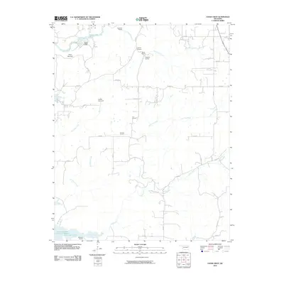 2010 Cedar Crest2010 Print · USGSCedar Crest and the surrounding hollows of Mayes County appear here in the early twenty-first century. Genealogists and local historians can locate Gray Cemetery and Downing Cemetery, or trace the winding courses of Spring Creek and Little Clear Creek through the wooded terrain.
 - 2012 Map of Cookson, 2012 Print
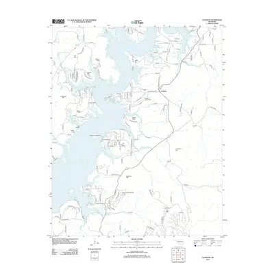 2012 Cookson2012 Print · USGSThe eastern shores of Tenkiller Lake come into focus in the early 2010s, showcasing the intersection of lakeside living and aviation. Researchers can trace local landmarks like Cookson Cem and the Tenkiller Lake Airpark alongside ridges such as Ballew Ridge.
 - 2012 Map of Peggs, 2012 Print
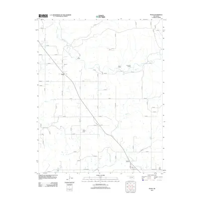 2012 Peggs2012 Print · USGSCherokee County, Oklahoma, is shown in the early twenty-first century as a landscape of rural homesteads and winding creek beds. Genealogists can locate Peggs Cem and Blue Springs Cem or trace the geography of family-named spots like Yokum Hollow and Luck Spring.
 - 2012 Map of Tailholt, 2012 Print
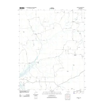 2012 Tailholt2012 Print · USGSCherokee County at the start of the 2010s reveals a landscape of high ridges and winding creek valleys near the shores of Tenkiller Lake. Researchers can locate historic family sites at Stony Point Cem or trace the early paths through Wauhillau and Tailholt.
 - 2012 Map of Rose, 2012 Print
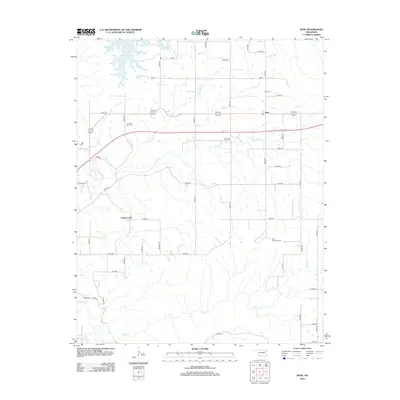 2012 Rose2012 Print · USGSOklahoma's rural Mayes County is captured here in the early 2010s, showcasing a landscape of creek-fed valleys and quiet crossroads. Genealogists and local historians can locate family burial sites at Rose Cem and Little Rock Cem or trace the drainage of Snake Cr.
Showing maps 1-25 of 84
Top cities of Cherokee County
Frequently asked questions
- What are the different types of historical maps available for Cherokee County?
- What is the oldest map of Cherokee County?
- Where can I purchase historical maps of Cherokee County for my home or office?
- Where can I download high-res historical maps of Cherokee County?
- Are there historical topographic maps available for Cherokee County?
- Is there historical aerial imagery available for Cherokee County?
- Where are historical maps of Cherokee County sourced from?