2020s Maps of Coal County, Oklahoma
Explore 18 historic maps of Coal County from the 2020s. These maps offer a rare glimpse into what life looked like during the 2020s — showing old roads, neighborhoods, homes, and landmarks that have changed or disappeared over time.
Whether you're researching your family's past, planning a metal detecting trip, or studying how Coal County's landscape evolved across the 2020s, these high-resolution maps are a powerful tool for exploring the history of this region.
- Focus on a specific era: All maps on this page are from the 2020s, giving you a focused view of this time period.
- See what’s changed: Compare century-old streets, trails, and buildings to today's modern landscape using overlays and satellite layers.
- Research with precision: Use these maps for genealogy, historical research, land use analysis, or educational projects.
- View, download, or print: Maps are fully viewable online in high resolution, and can be downloaded or printed for your own records.
Start exploring Coal County's history through authentic maps from the 2020s. This is your window into the past.
Coal County, OK maps
(18)- 2022 Map of Ashland, 2022 Print
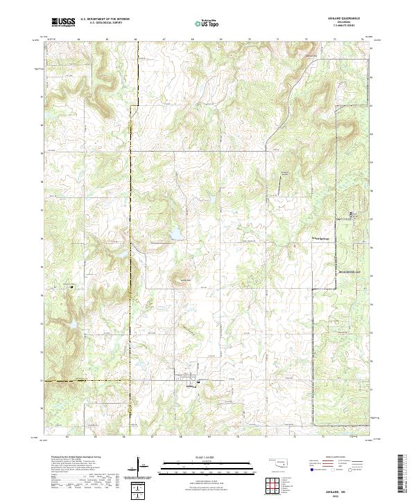 2022 Ashland2022 Print · USGSOklahoma's rural Pittsburg County landscape is shown here in its modern configuration, centered on the community of Ashland. Genealogists can locate family sites at the Ashland Cem and Ward Springs Cem while tracing the waters of Hominy Cr.
 - 2022 Map of Tupelo, 2022 Print
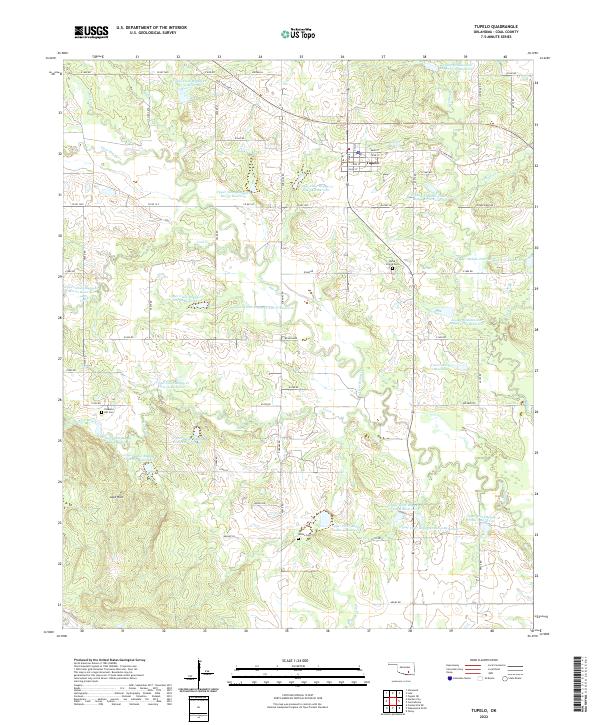 2022 Tupelo2022 Print · USGSThe rural landscape of Coal County is captured here in the early twenty-first century, centered on the settlement of Tupelo. Researchers can trace local heritage at Byrds Prairie Cem and Wilson Cem or explore the numerous reservoirs along Leader Cr.
 - 2022 Map of Wapanucka North, 2022 Print
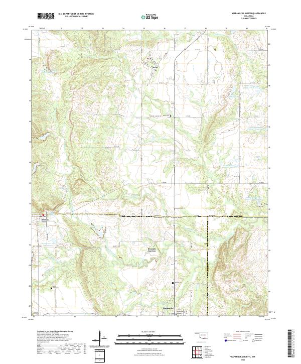 2022 Wapanucka North2022 Print · USGSSouthern Oklahoma ranchlands and small-town intersections come into focus in this early twenty-first-century survey of the Clear Boggy Creek watershed. Genealogists and local historians can trace family-named sites like Mary J Ranch Lake or locate burials at Moore Cem and Valley Cem.
 - 2022 Map of Connerville NE, 2022 Print
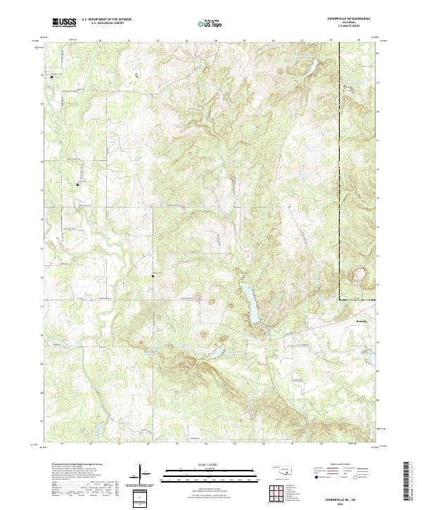 2022 Connerville NE2022 Print · USGSBromide and the ranchlands of Johnston County are shown here in the 2020s, a landscape defined by spring-fed creeks and rural family holdings. Researchers can trace local history through Pontotoc Cemetery, Witch Hole, and the many branches of the Blue River.
 - 2022 Map of Stonewall, 2022 Print
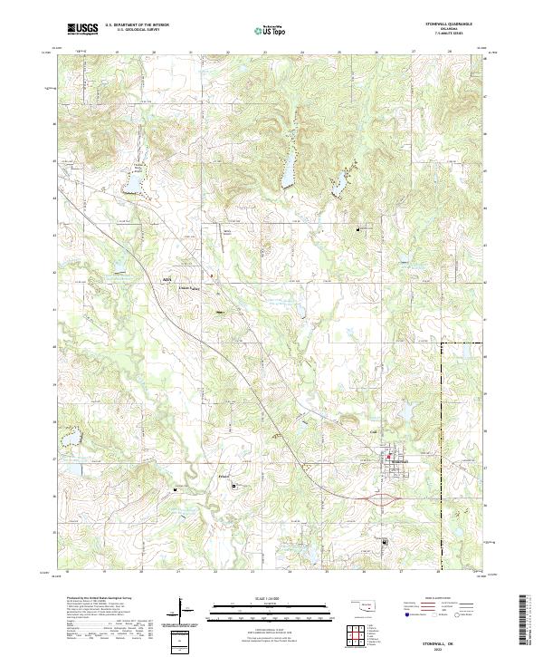 2022 Stonewall2022 Print · USGSStonewall and the rural communities of Pontotoc County appear here in the early twenty-first century, showing a landscape defined by small-town life and flood-control reservoirs. Researchers can locate family landmarks like Cockran Cem and Frisco Cem or trace the winding paths of Owl Cr and Rhoda Cr.
 - 2022 Map of Lehigh, 2022 Print
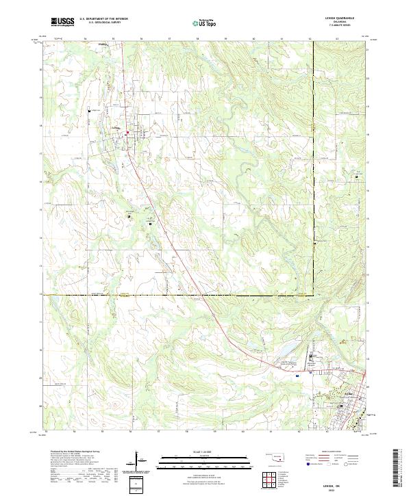 2022 Lehigh2022 Print · USGSSoutheastern Oklahoma's Coal and Atoka counties appear in high detail during the early 2020s, centered on the historic town of Atoka. Researchers can locate several burial grounds like Old Lehigh Cem and the Atoka County Courthouse.
 - 2022 Map of Steedman, 2022 Print
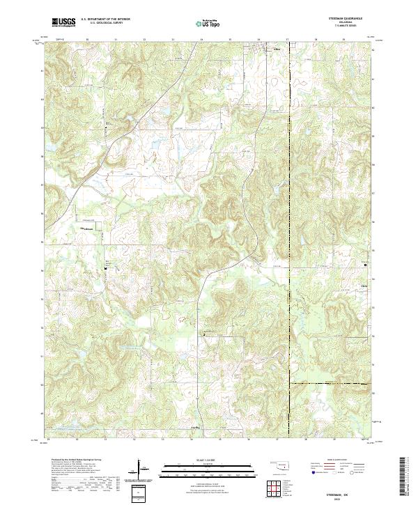 2022 Steedman2022 Print · USGSThe rural landscape of Pontotoc and Coal counties comes into focus in this recent survey. Local researchers can locate family burial grounds like Red Springs Cem and trace the winding courses of Muddy Boggy Cr near Steedman.
 - 2022 Map of Centrahoma, 2022 Print
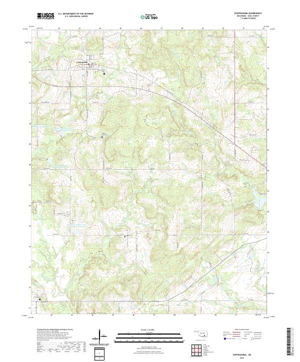 2022 Centrahoma2022 Print · USGSCoal County settlement and its intricate drainage systems are captured here in the early twenty-first century. Genealogists and local historians can locate established burial sites like Round Lake Cem and Centrahoma Cem alongside the waters of Clear Boggy Cr.
 - 2022 Map of Lula, 2022 Print
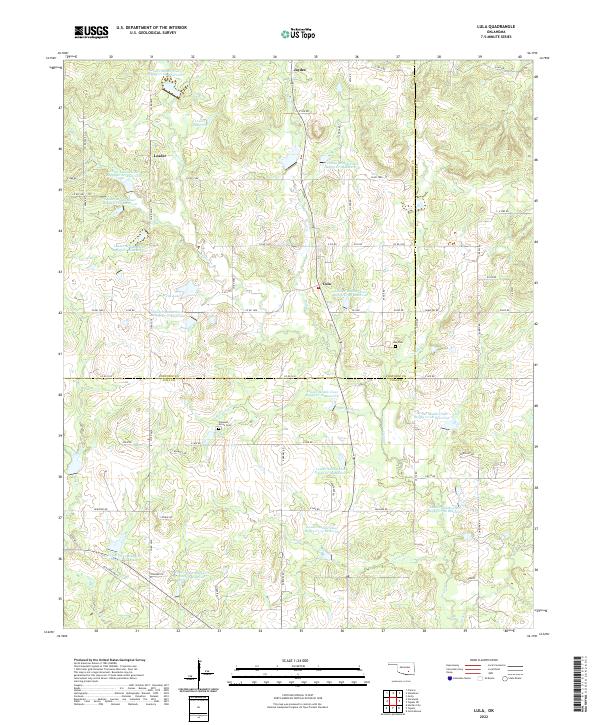 2022 Lula2022 Print · USGSCoal and Pontotoc Counties are captured in the early 2020s, showing a rural landscape defined by flood control reservoirs and long-standing small communities. Researchers can locate the Lula Cem near Lula or trace the drainage of Bois d'Arc Cr and Bully Cr.
 - 2022 Map of Non, 2022 Print
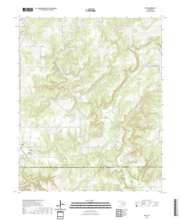 2022 Non2022 Print · USGSSoutheastern Oklahoma’s rural landscape comes into focus in this contemporary survey of the Hughes and Coal County borderlands. Researchers can locate family heritage sites like Non Cem and Rock Creek Cem or trace the winding course of Caney Boggy Creek.
 - 2022 Map of Coalgate, 2022 Print
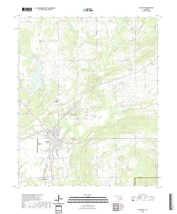 2022 Coalgate2022 Print · USGSCoalgate and its surrounding communities are documented here in the early twenty-first century, showing the established county seat and its neighboring towns. Researchers can locate several burial sites and civic landmarks, including Woodman Cem, Calvary Cem, and the Coal County Courthouse.
 - 2022 Map of Parker, 2022 Print
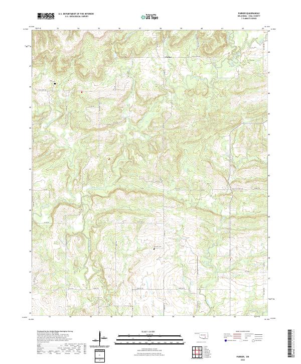 2022 Parker2022 Print · USGSCoal County’s rural crossroads and winding creek beds are meticulously documented in this recent survey of the area around Parker. Family historians can pinpoint Pine Cem and McCarty Cem or trace property boundaries along Caney Boggy Cr and Salt Creek.
 - 2022 Map of Harden City, 2022 Print
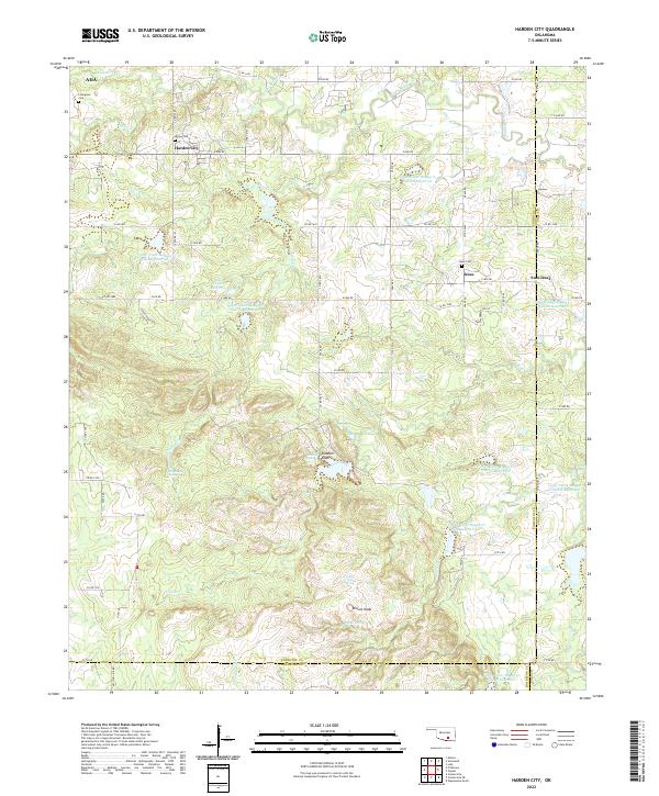 2022 Harden City2022 Print · USGSPontotoc and Coal counties show a landscape of rural settlements and managed water basins in the early twenty-first century. Researchers can trace family history at Atkins Cem and Jesse Cem or locate landmarks like Gobbler Knob and Harden City.
 - 2022 Map of Tupelo NE, 2022 Print
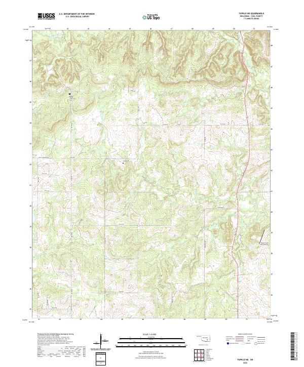 2022 Tupelo NE2022 Print · USGSCoal County's rural landscape is defined here by the winding waters of Muddy Boggy Cr and a network of traditional section-line roads. Genealogists and local historians can trace family roots at Boiling Spring Indian Cem and Globe Cem.
 - 2022 Map of Wardville, 2022 Print
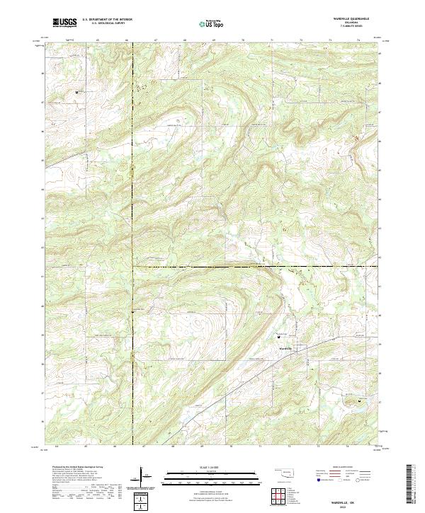 2022 Wardville2022 Print · USGSThis rural portion of Atoka and Coal counties appears in the early twenty-first century as a land of creek-side settlements and family cemeteries. Trace local history through landmarks like Wardville Cem and the geographic character of Salt Prairie.
 - 2022 Map of Gerty, 2022 Print
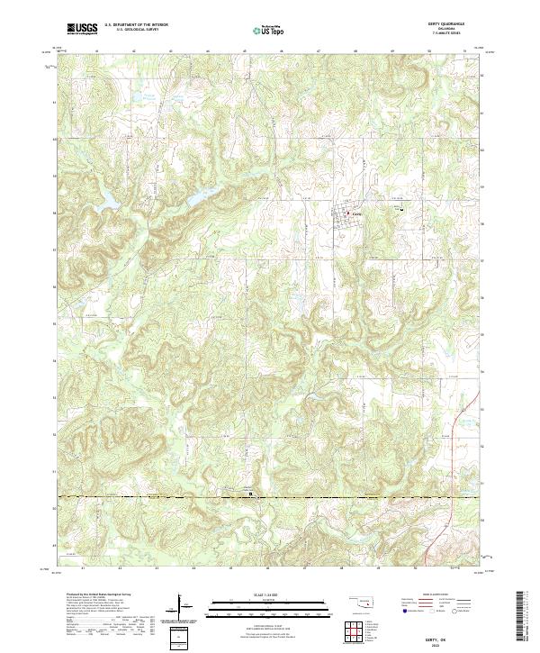 2022 Gerty2022 Print · USGSThe town of Gerty and its surrounding countryside are captured in this modern survey of the Hughes and Coal County line. Genealogists and local researchers can pinpoint the locations of Gerty Cem and Panther Creek Cem or trace the winding course of Muddy Boggy Cr.
 - 2022 Map of Coalgate SE, 2022 Print
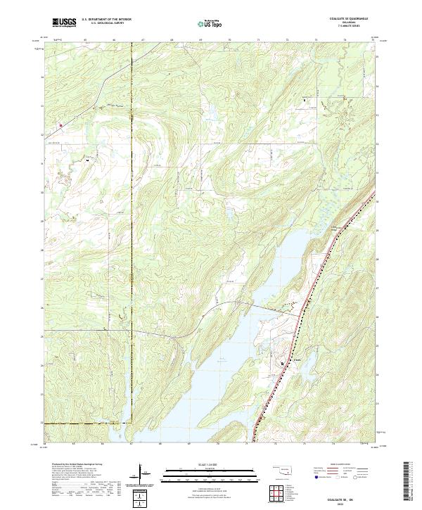 2022 Coalgate SE2022 Print · USGSThe rural boundary of Coal and Atoka counties is captured here in the early twenty-first century as the landscape centers on the Atoka Reservoir. Genealogists and local historians can locate Cairo Cem, the settlement of Flora, and landmarks like Limestone Ridge.
 - 2022 Map of Olney, 2022 Print
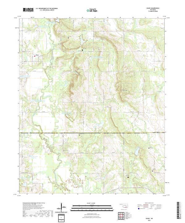 2022 Olney2022 Print · USGSThe Oklahoma cattle and ranching lands between Coal and Atoka counties are documented here in the early twenty-first century. Researchers can locate numerous local burial sites including Whitehall Cem and Standing Rock Cem, alongside the small settlement of Olney.
End of results
Showing maps 1-18 of 18
Top cities of Coal County
- Coalgate historical maps
- Tupelo historical maps
- Lehigh historical maps
- Phillips historical maps
- Centrahoma historical maps
Frequently asked questions
- What are the different types of historical maps available for Coal County?
- What is the oldest map of Coal County?
- Where can I purchase historical maps of Coal County for my home or office?
- Where can I download high-res historical maps of Coal County?
- Are there historical topographic maps available for Coal County?
- Is there historical aerial imagery available for Coal County?
- Where are historical maps of Coal County sourced from?