2010s Maps of Coal County, Oklahoma
Explore 61 historic maps of Coal County from the 2010s. These maps offer a rare glimpse into what life looked like during the 2010s — showing old roads, neighborhoods, homes, and landmarks that have changed or disappeared over time.
Whether you're researching your family's past, planning a metal detecting trip, or studying how Coal County's landscape evolved across the 2010s, these high-resolution maps are a powerful tool for exploring the history of this region.
- Focus on a specific era: All maps on this page are from the 2010s, giving you a focused view of this time period.
- See what’s changed: Compare century-old streets, trails, and buildings to today's modern landscape using overlays and satellite layers.
- Research with precision: Use these maps for genealogy, historical research, land use analysis, or educational projects.
- View, download, or print: Maps are fully viewable online in high resolution, and can be downloaded or printed for your own records.
Start exploring Coal County's history through authentic maps from the 2010s. This is your window into the past.
Coal County, OK maps
(61)- 2010 Map of Parker, 2010 Print
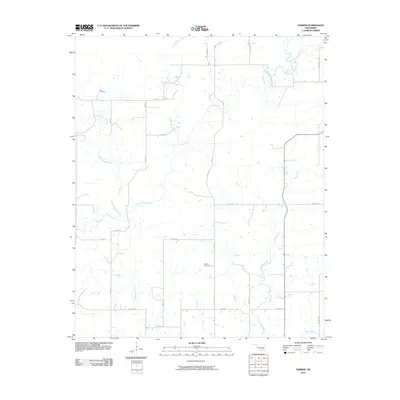 2010 Parker2010 Print · USGSCoal County at the start of the 2010s is a landscape of winding creeks and section line roads. Family historians can trace local ties through Pirie Cemetery and McCarty Cemetery, or follow the banks of the Muddy Boggy Creek.
 - 2010 Map of Non, 2010 Print
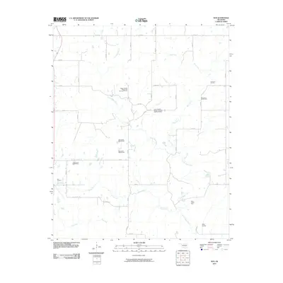 2010 Non2010 Print · USGSIn rural Hughes County during the early 2000s, this area shows a landscape defined by creeks and flood control structures. Genealogists and local historians can locate Non Cemetery, Rock Creek Cemetery, and the Elmo Tipton Dam among the local section roads.
 - 2010 Map of Lehigh, 2010 Print
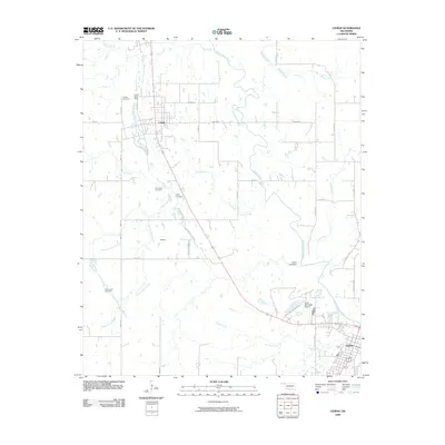 2010 Lehigh2010 Print · USGSAtoka County's coal mining heritage and municipal growth are preserved here in the early 2000s. Researchers can trace ancestral sites at Old Lehigh Cemetery and Lehigh Cemetery or examine the footprint of the Lehigh Strip Mine near Midway.
 - 2010 Map of Wardville, 2010 Print
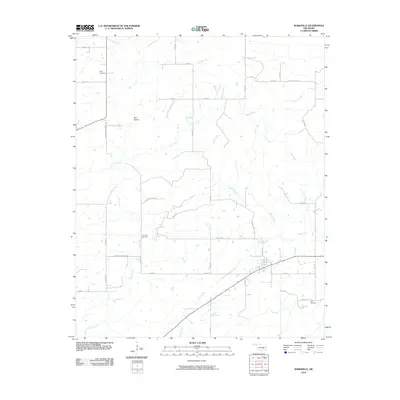 2010 Wardville2010 Print · USGSAtoka County's rural landscape is captured here in the early 2000s, showing a region defined by its creek valleys and section-line roads. Researchers can pinpoint several family burial sites including Lone Star Cemetery, King Cemetery, and the Kelly Cemetery.
 - 2010 Map of Centrahoma, 2010 Print
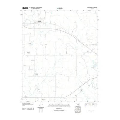 2010 Centrahoma2010 Print · USGSCentrahoma and the surrounding Coal County rural districts are shown in detail as they appeared in 2010. Researchers can locate the Oconee Oil Field, family-named cemeteries like Keel Cemetery, and former school sites such as Oak Grove School.
 - 2010 Map of Tupelo, 2010 Print
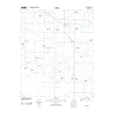 2010 Tupelo2010 Print · USGSCoal County enters the 2010s as a landscape of managed water and energy, centered on the community of Tupelo. Researchers can trace old family burial sites at Byrds Prairie Cemetery or locate the Clarita Oil and Gas Field and several flood control dams.
 - 2010 Map of Coalgate SE, 2010 Print
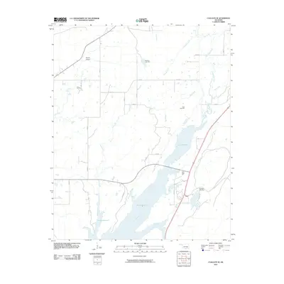 2010 Coalgate SE2010 Print · USGSAtoka County's landscape is defined by its massive water projects and rural holdings at the start of the 2010s. Genealogists and local historians can trace the area near Flora or locate the Cairo Cemetery tucked away near Phillips Hollow.
 - 2012 Map of Steedman, 2012 Print
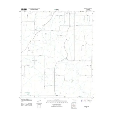 2012 Steedman2012 Print · USGSOklahoma's rural interior near the Pontotoc-Hughes county line is mapped here during a period of modern water management and established township grids. Genealogists can locate family burial sites at Black Rock Cem and Citra Cem or trace the early paths of Steedman and Jaydee.
 - 2012 Map of Centrahoma, 2012 Print
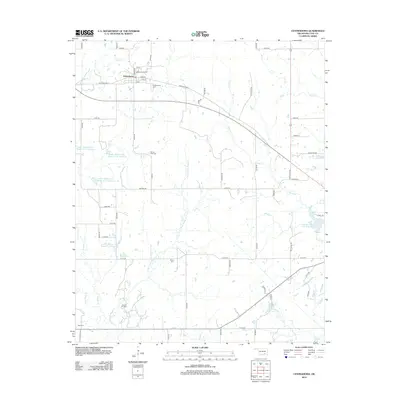 2012 Centrahoma2012 Print · USGSCentrahoma and the surrounding Coal County countryside are captured here in the early twenty-first century as a landscape of managed water and oil production. Researchers can locate the Oconee Oil Field and several rural burying grounds like Nixon Cem and Keel Cem.
 - 2012 Map of Lula, 2012 Print
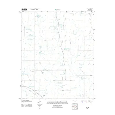 2012 Lula2012 Print · USGSThe rural landscape of Pontotoc County is shown here in the early 2010s, defined by a massive network of watershed reservoirs. Genealogists and local historians can locate Lula Cem and trace small settlements like Leader and Lula.
 - 2012 Map of Gerty, 2012 Print
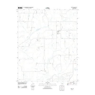 2012 Gerty2012 Print · USGSGerty and the surrounding Hughes County countryside are captured here in the early twenty-first century. Genealogists and local researchers can locate family plots at Gerty Cem or Panther Creek Cem and trace the local energy landscape at the Ne Citra Oil and Gas Field.
 - 2012 Map of Lehigh, 2012 Print
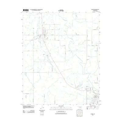 2012 Lehigh2012 Print · USGSLehigh and Atoka are shown in the early twenty-first century, revealing a landscape shaped by the winding Muddy Boggy Creek. Researchers can locate numerous historic burial sites such as Old Lehigh Cem, Macedonia Cem, and Coal Creek Cem.
 - 2012 Map of Tupelo NE, 2012 Print
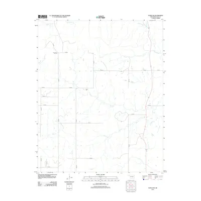 2012 Tupelo NE2012 Print · USGSCoal County at the start of the 2010s is a landscape of rural section lines and winding waterways. Family historians can locate Boiling Spring Indian Cem and Globe Cem nestled among the drainages of Muddy Boggy Cr and Rock Cr.
 - 2012 Map of Wardville, 2012 Print
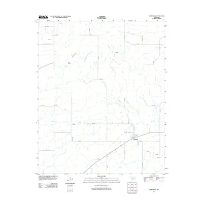 2012 Wardville2012 Print · USGSWardville and its surrounding Oklahoma prairies are captured here in the early twenty-first century, showing a landscape defined by ranch roads and historic boundaries. Genealogists can locate several local burial grounds, including Lone Star Cem and King Cem, while tracing the path of the Indian Bnd.
 - 2012 Map of Ashland, 2012 Print
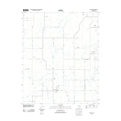 2012 Ashland2012 Print · USGSAshland and the surrounding Pittsburg County countryside are captured here in the early twenty-first century. Genealogists and local historians can trace family locations near Bohannon Cem, the small community of Ward Springs, and the rural airfield at Flying H Airport.
 - 2012 Map of Connerville NE, 2012 Print
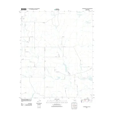 2012 Connerville NE2012 Print · USGSThis Johnston County landscape in the early 2010s reveals a rural area defined by its springs and water management reservoirs. Researchers can locate family landmarks like Pontotoc Cem and Seeley Cem or trace natural features like Witch Hole and Kelly Spring.
 - 2012 Map of Wapanucka North, 2012 Print
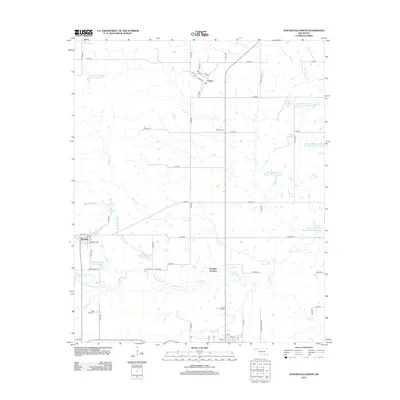 2012 Wapanucka North2012 Print · USGSSettlement and water management define this Johnston County landscape in the early 2010s. Researchers can locate the residential grids of Clarita and Bromide, or trace family history at Rose Hill Cem and Moore Cem.
 - 2012 Map of Olney, 2012 Print
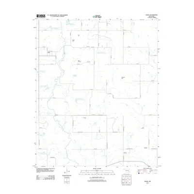 2012 Olney2012 Print · USGSThe rural landscape around Olney and the Clear Boggy Creek bottoms comes into focus in this early 21st-century survey. Researchers can locate numerous family and community burial grounds like Whitehall Cem and Davis Cem, or trace landmarks like Flagpole Mtn and Clear Canyon.
 - 2012 Map of Coalgate, 2012 Print
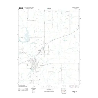 2012 Coalgate2012 Print · USGSOklahoma's Coal County reflects a blend of early settlement patterns and modern water management in the early twenty-first century. Genealogists and local historians can locate family burial sites at Calvary Cem and Woodman Cem or trace the old routes through Cottonwood and Phillips.
 - 2012 Map of Tupelo, 2012 Print
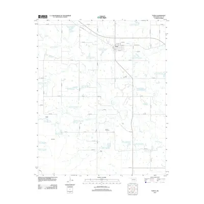 2012 Tupelo2012 Print · USGSTupelo and the surrounding Coal County countryside are documented here in the early twenty-first century as a landscape of rural crossroads and extensive water management. Genealogists can locate family landmarks like Byrds Prairie Cem and Wilson Cem, or trace the Clarita Oil and Gas Field.
 - 2012 Map of Parker, 2012 Print
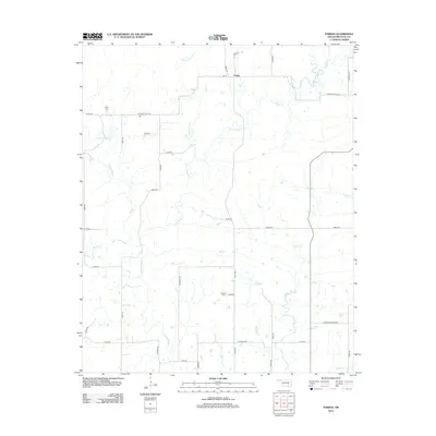 2012 Parker2012 Print · USGSCoal County ranch lands and winding creek bottoms are mapped here in the early twenty-first century. Genealogists can locate Pine Cem and McCarty Cem while tracing the rural sections surrounding Parker and Muddy Boggy Cr.
 - 2012 Map of Coalgate SE, 2012 Print
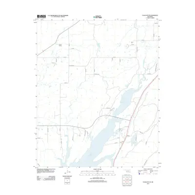 2012 Coalgate SE2012 Print · USGSSoutheast Oklahoma in the early 2010s shows a landscape of rural crossroads and the expanding shoreline of Atoka Reservoir. Genealogists and local historians can trace family ties at Cairo Cem and Bethel Cem or locate the small community of Flora.
 - 2012 Map of Stonewall, 2012 Print
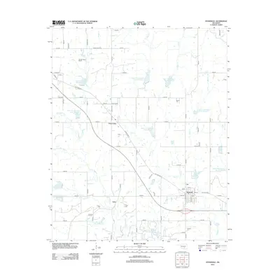 2012 Stonewall2012 Print · USGSStonewall and the surrounding Pontotoc County prairies are shown here in the early twenty-first century as a network of small settlements and reservoir sites. Researchers can trace family roots at Highland Cemetery or explore local industry at the North Fitts Oil Field and Stonewall Lake.
 - 2013 Map of Harden City, 2013 Print
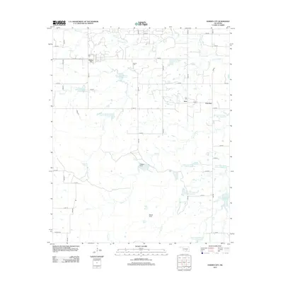 2013 Harden City2013 Print · USGSPontotoc County's rural landscape comes into focus in the early 21st century, centered on the oil and water infrastructure of the Harden City area. Genealogists and historians can trace family locations near the Atkins Cem or explore the geography of the Fitts Oil Field and Gobbler Knob.
 - 2013 Map of Non, 2013 Print
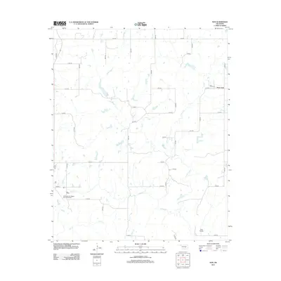 2013 Non2013 Print · USGSHughes County's rural heartland is documented here in the early twenty-first century, showcasing a landscape of section-line roads and creek-side settlements. Genealogists can locate family landmarks like Non Cemetery and Rock Creek Cemetery or trace the winding course of Caney Boggy Creek.
Showing maps 1-25 of 61
Top cities of Coal County
- Coalgate historical maps
- Tupelo historical maps
- Lehigh historical maps
- Phillips historical maps
- Centrahoma historical maps
Frequently asked questions
- What are the different types of historical maps available for Coal County?
- What is the oldest map of Coal County?
- Where can I purchase historical maps of Coal County for my home or office?
- Where can I download high-res historical maps of Coal County?
- Are there historical topographic maps available for Coal County?
- Is there historical aerial imagery available for Coal County?
- Where are historical maps of Coal County sourced from?