Old Maps of Mounds, Oklahoma for Metal Detecting
Plan your next treasure hunt with 31 historic maps of Mounds. Find old homesites, ghost towns, trails, and gathering spots that may be lost to time — perfect for identifying promising metal detecting locations.
- Locate forgotten sites: Uncover places like long-lost settlements, abandoned rail lines, or gathering spots.
- Plan better hunts: Use map overlays combined with LiDAR or satellite views to narrow in on historically rich areas.
- Made for detectorists: Thousands of hobbyists use these maps to discover relics, coins, and hidden history.
Use these historic maps to boost your research and find new opportunities beneath the surface of Mounds.
Mounds, OK maps
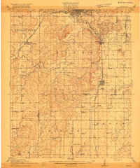
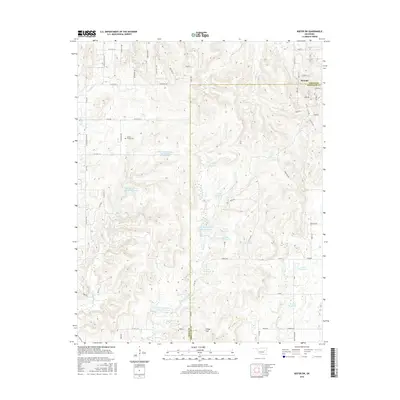
(31)- 1901 Map of Nuyaka
 1901 Nuyaka1901 Print · USGSIndian Territory within the Creek Nation was undergoing rapid change in the late 19th century as railroads connected once-remote outposts. Researchers can trace early settlements and schools like Nuyaka Mission, Bristow, and the crossroads at Smiths Store before Oklahoma reached statehood.4 unique versions available
 - 1914 Map of Kiefer
 1914 Kiefer1914 Print · USGSCreek and Tulsa Counties are seen here during the height of the early oil boom, centered on the rail junctions and tank farms. Researchers can trace the development of petroleum infrastructure near Glenpool or locate vanished country schools like Blackout Forest School and Locust Hill School.2 unique versions available
 - 1916 Map of Kiefer
 1916 Kiefer1916 Print · USGSCreek County at the height of the early oil boom years is captured here in fine detail. Genealogists can trace the rural landscape through family-named schools like Crowson School, Bluebell School, and the Louisiana Baptist Church.3 unique versions available
 - 1954 Map of Oklahoma City
 1954 Oklahoma City1954 Print · USGSOklahoma City and its surrounding counties are captured here in the early fifties during a period of significant postwar growth. Researchers can trace the development of the Turner Turnpike and locate aviation hubs like Tinker Field or Will Rogers Field.
 - 1957 Map of Oklahoma City, 1969 Print
 1957 Oklahoma City1969 Print · USGSCentral Oklahoma is captured here in a period of significant mid-century growth and industrialization. Researchers can trace family roots through numerous rural markers like Memory Lane Cem, New Hope School, and the sprawling grounds of Tinker Air Force Base.3 unique versions available
 - 1958 Map of Sapulpa South, 1959 Print
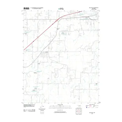
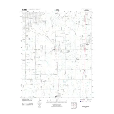
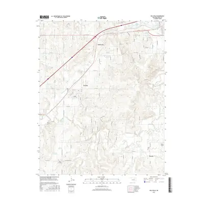
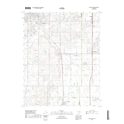
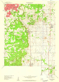 1958 Sapulpa South1959 Print · USGSThe Sapulpa area south of Tulsa comes alive in the late fifties, showcasing an era of oil production and established community life. Researchers can trace the development of Kiefer and Glenpool, alongside rural landmarks like Picket Chapel and Twin Mounds Cem.5 unique versions available
 - 1963 Map of Oklahoma City
 1963 Oklahoma City1963 Print · USGSCentral Oklahoma in the early sixties showcases a landscape of rapid suburban growth and established oil production. Researchers can trace historic rail lines like the Chicago Rock Island and Pacific RR or locate rural landmarks such as Mayflower School and Bethel Church.
 - 1972 Map of Kellyville, 1973 Print
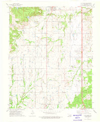
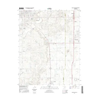
 1972 Kellyville1973 Print · USGSCreek County at the start of the 1970s reveals a landscape defined by petroleum production and mid-century transit corridors. Genealogists and local researchers can locate the Felix Cem, rural sites like Picket Ch, and the extensive oil field surrounding Kellyville.2 unique versions available
 - 1973 Map of Kiefer SW, 1976 Print
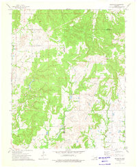 1973 Kiefer SW1976 Print · USGSCreek and Okmulgee Counties are shown in the early seventies during a period of active energy production and rural development. Researchers can trace petroleum history through an extensive Oil Field and landmarks like Osage Hill and the Radio Tower.
 - 1973 Map of Lake Boren, 1976 Print
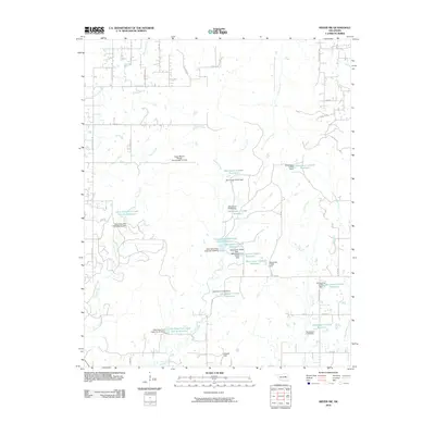
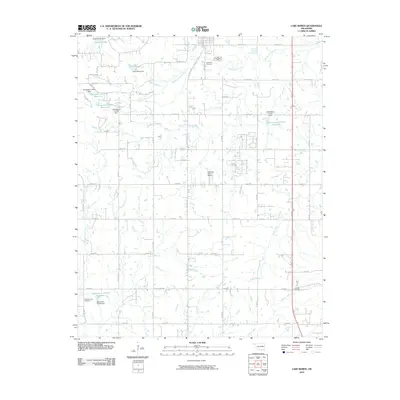
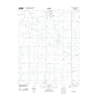
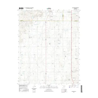
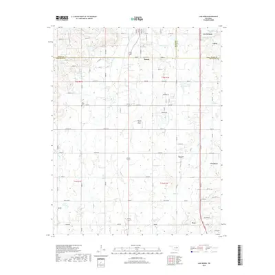
 1973 Lake Boren1976 Print · USGSCreek and Okmulgee Counties are shown in the early seventies during a period of active oil and gas extraction. Researchers can locate family sites and rural landmarks like Oakwood Cem, New Bethel Ch, and the tracks of the St Louis-San Francisco railroad.
 - 1990 Map of Bristow
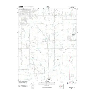
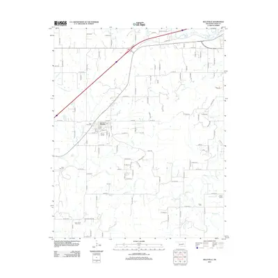
 1990 Bristow1990 Print · USGSCentral Oklahoma's township and range grid is on full display in the 1990s, anchored by the crossroads at Bristow and Sapulpa. Researchers can trace old community lines and regional landmarks from Heyburn Reservoir to the historic streets of Boley.
 - 2010 Map of Sapulpa South, 2010 Print
 2010 Sapulpa South2010 Print · USGSCovers Mounds, including Sapulpa, Jenks, and other nearby areas
 - 2010 Map of Kiefer SW, 2010 Print
 2010 Kiefer SW2010 Print · USGSCovers Mounds, including Creek County, Okmulgee County, and other nearby areas
 - 2010 Map of Lake Boren, 2010 Print
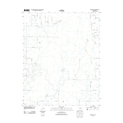
 2010 Lake Boren2010 Print · USGSCovers Mounds, including Glenpool, Beggs, and other nearby areas
 - 2010 Map of Kellyville, 2010 Print
 2010 Kellyville2010 Print · USGSCovers Mounds, including Sapulpa, Kellyville, and other nearby areas
 - 2012 Map of Kiefer SW, 2012 Print
 2012 Kiefer SW2012 Print · USGSCovers Mounds, including Creek County, Okmulgee County, and other nearby areas
 - 2012 Map of Lake Boren, 2012 Print
 2012 Lake Boren2012 Print · USGSCovers Mounds, including Glenpool, Beggs, and other nearby areas
 - 2012 Map of Kellyville, 2012 Print
 2012 Kellyville2012 Print · USGSCovers Mounds, including Sapulpa, Kellyville, and other nearby areas
 - 2013 Map of Sapulpa South, 2013 Print
 2013 Sapulpa South2013 Print · USGSCovers Mounds, including Sapulpa, Jenks, and other nearby areas
 - 2016 Map of Kiefer SW, 2016 Print
 2016 Kiefer SW2016 Print · USGSCovers Mounds, including Creek County, Okmulgee County, and other nearby areas
 - 2016 Map of Kellyville, 2016 Print
 2016 Kellyville2016 Print · USGSCovers Mounds, including Sapulpa, Kellyville, and other nearby areas
 - 2016 Map of Sapulpa South, 2016 Print
 2016 Sapulpa South2016 Print · USGSCovers Mounds, including Sapulpa, Jenks, and other nearby areas
 - 2016 Map of Lake Boren, 2016 Print
 2016 Lake Boren2016 Print · USGSCovers Mounds, including Glenpool, Beggs, and other nearby areas
 - 2018 Map of Lake Boren, 2018 Print
 2018 Lake Boren2018 Print · USGSCovers Mounds, including Glenpool, Beggs, and other nearby areas
 - 2018 Map of Sapulpa South, 2018 Print
 2018 Sapulpa South2018 Print · USGSCovers Mounds, including Sapulpa, Jenks, and other nearby areas
Showing maps 1-25 of 31
Top cities near Mounds
- Tulsa historical maps
- Bixby historical maps
- Sapulpa historical maps
- Sand Springs historical maps
- Jenks historical maps
- Glenpool historical maps
See more
Frequently asked questions
- What are the different types of historical maps available for Mounds?
- What is the oldest map of Mounds?
- Where can I purchase historical maps of Mounds for my home or office?
- Where can I download high-res historical maps of Mounds?
- Are there historical topographic maps available for Mounds?
- Is there historical aerial imagery available for Mounds?
- Where are historical maps of Mounds sourced from?