2000s (21st Century) Maps of Mounds, Oklahoma
Explore 20 historic maps of Mounds from the 2000s (21st Century). These maps offer a rare glimpse into what life looked like during the 2000s — showing old roads, neighborhoods, homes, and landmarks that have changed or disappeared over time.
Whether you're researching your family's past, planning a metal detecting trip, or studying how Mounds's landscape evolved across the 2000s, these high-resolution maps are a powerful tool for exploring the history of this region.
- Focus on a specific era: All maps on this page are from the 2000s, giving you a focused view of this time period.
- See what’s changed: Compare century-old streets, trails, and buildings to today's modern landscape using overlays and satellite layers.
- Research with precision: Use these maps for genealogy, historical research, land use analysis, or educational projects.
- View, download, or print: Maps are fully viewable online in high resolution, and can be downloaded or printed for your own records.
Start exploring Mounds's history through authentic maps from the 2000s. This is your window into the past.
Mounds, OK maps
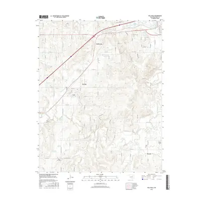
(20)- 2010 Map of Sapulpa South, 2010 Print
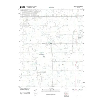 2010 Sapulpa South2010 Print · USGSCovers Mounds, including Sapulpa, Jenks, and other nearby areas
 - 2010 Map of Kiefer SW, 2010 Print
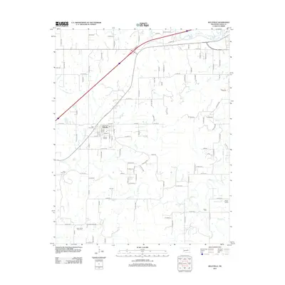
 2010 Kiefer SW2010 Print · USGSCovers Mounds, including Creek County, Okmulgee County, and other nearby areas
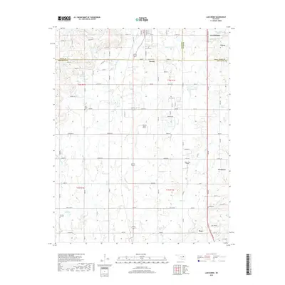
 - 2010 Map of Lake Boren, 2010 Print
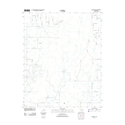
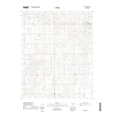
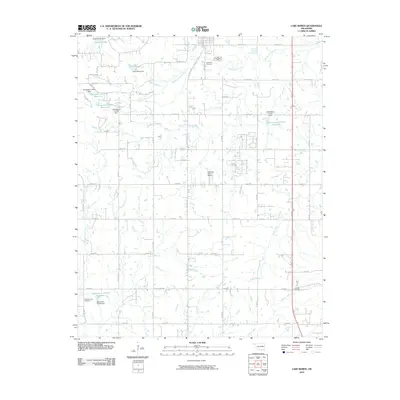 2010 Lake Boren2010 Print · USGSCovers Mounds, including Glenpool, Beggs, and other nearby areas
 - 2010 Map of Kellyville, 2010 Print
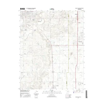
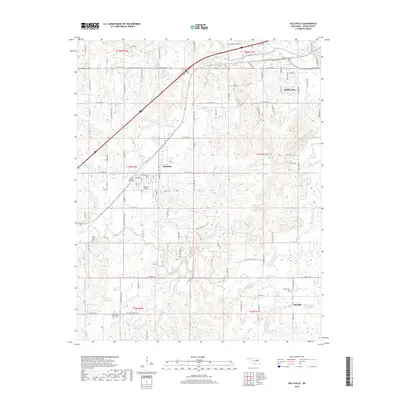
 2010 Kellyville2010 Print · USGSCovers Mounds, including Sapulpa, Kellyville, and other nearby areas
 - 2012 Map of Kiefer SW, 2012 Print
 2012 Kiefer SW2012 Print · USGSCovers Mounds, including Creek County, Okmulgee County, and other nearby areas
 - 2012 Map of Lake Boren, 2012 Print
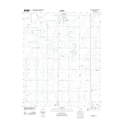 2012 Lake Boren2012 Print · USGSCovers Mounds, including Glenpool, Beggs, and other nearby areas
 - 2012 Map of Kellyville, 2012 Print
 2012 Kellyville2012 Print · USGSCovers Mounds, including Sapulpa, Kellyville, and other nearby areas
 - 2013 Map of Sapulpa South, 2013 Print
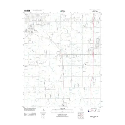 2013 Sapulpa South2013 Print · USGSCovers Mounds, including Sapulpa, Jenks, and other nearby areas
 - 2016 Map of Kiefer SW, 2016 Print
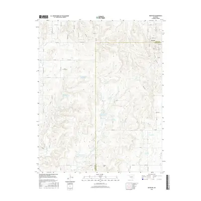 2016 Kiefer SW2016 Print · USGSCovers Mounds, including Creek County, Okmulgee County, and other nearby areas
 - 2016 Map of Kellyville, 2016 Print
 2016 Kellyville2016 Print · USGSCovers Mounds, including Sapulpa, Kellyville, and other nearby areas
 - 2016 Map of Sapulpa South, 2016 Print
 2016 Sapulpa South2016 Print · USGSCovers Mounds, including Sapulpa, Jenks, and other nearby areas
 - 2016 Map of Lake Boren, 2016 Print
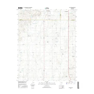 2016 Lake Boren2016 Print · USGSCovers Mounds, including Glenpool, Beggs, and other nearby areas
 - 2018 Map of Lake Boren, 2018 Print
 2018 Lake Boren2018 Print · USGSCovers Mounds, including Glenpool, Beggs, and other nearby areas
 - 2018 Map of Sapulpa South, 2018 Print
 2018 Sapulpa South2018 Print · USGSCovers Mounds, including Sapulpa, Jenks, and other nearby areas
 - 2018 Map of Kiefer SW, 2018 Print
 2018 Kiefer SW2018 Print · USGSCovers Mounds, including Creek County, Okmulgee County, and other nearby areas
 - 2018 Map of Kellyville, 2018 Print
 2018 Kellyville2018 Print · USGSCovers Mounds, including Sapulpa, Kellyville, and other nearby areas
 - 2022 Map of Lake Boren, 2022 Print
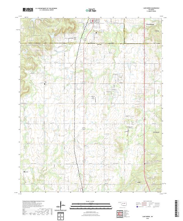 2022 Lake Boren2022 Print · USGSThe borderlands of Creek and Okmulgee Counties are captured here in a moment of continued rural-to-suburban transition. Local researchers can trace family landmarks like Oakwood Cem and Oakdale Cem, or locate aviation sites like Ragwing Acres Airport near Mounds.
 - 2022 Map of Kiefer SW, 2022 Print
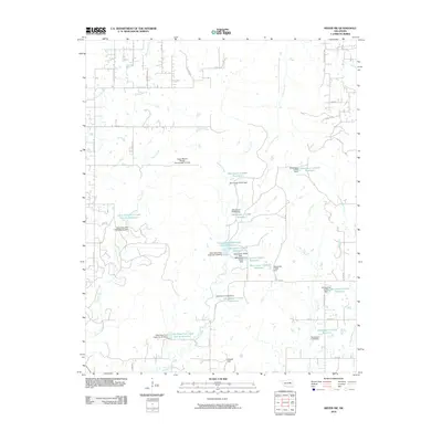
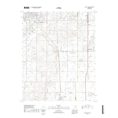
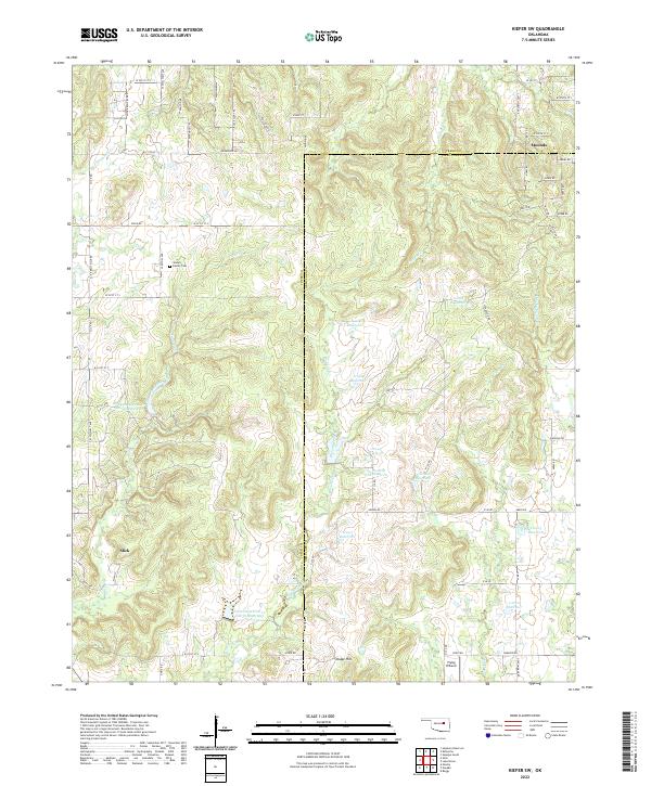 2022 Kiefer SW2022 Print · USGSCreek County and Okmulgee County at the start of the 2020s are defined by rural crossroads and water management. Genealogists and historians can trace Slick and Mounds, or find family landmarks like the Sewell Family Cemetery.
 - 2022 Map of Kellyville, 2022 Print
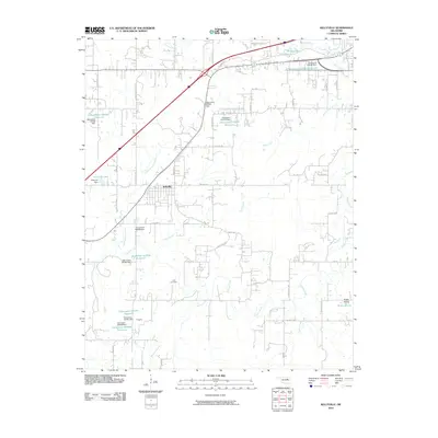
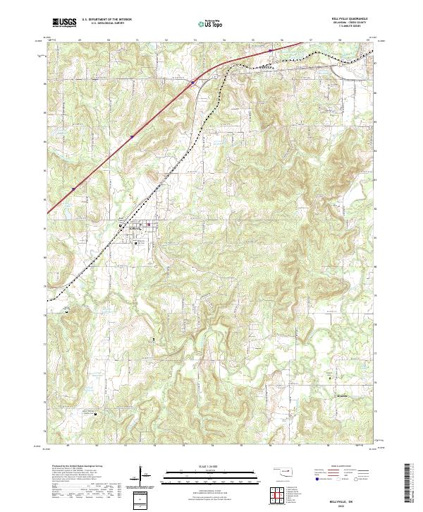 2022 Kellyville2022 Print · USGSCreek County at the start of the 2020s shows a landscape of small towns and rural family land. Genealogists can trace several ancestral sites including Pickett Cem, Felix Cem, and the historic BNSF RAILWAY corridor through Kellyville.
 - 2022 Map of Sapulpa South, 2022 Print
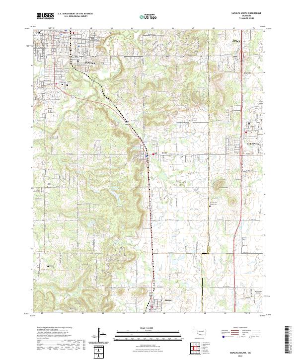 2022 Sapulpa South2022 Print · USGSCreek County south of Sapulpa exhibits a landscape of deep local history and energy development during the early twenty-first century. Genealogists and researchers can locate several notable burial sites including the Chief Sapulpa Burying Ground, Saint John Cem, and the historic Twin Mounds Pioneer Cem.
End of results
Showing maps 1-20 of 20
Top cities near Mounds
- Tulsa historical maps
- Bixby historical maps
- Sapulpa historical maps
- Sand Springs historical maps
- Jenks historical maps
- Glenpool historical maps
See more
Frequently asked questions
- What are the different types of historical maps available for Mounds?
- What is the oldest map of Mounds?
- Where can I purchase historical maps of Mounds for my home or office?
- Where can I download high-res historical maps of Mounds?
- Are there historical topographic maps available for Mounds?
- Is there historical aerial imagery available for Mounds?
- Where are historical maps of Mounds sourced from?