Old Maps of Boudinot, Oklahoma for Academic Research
Study the evolution of Boudinot with 11 high-resolution historic maps. Whether you're teaching, researching, or modeling changes in land use, these maps provide essential visual documentation of urban, environmental, and geographic change.
- Analyze long-term change: Track patterns in development, transportation, and natural features.
- Ideal for environmental or urban studies: Support academic projects with primary historical map data.
- Use in the classroom or lab: Educators and researchers rely on these maps to bring historical context to life.
These maps are a powerful tool for teaching, research, and visualizing how Boudinot has changed over the decades.
Boudinot, OK maps
(11)- 1898 Map of Pauls Valley, 1954 Print
 1898 Pauls Valley1954 Print · USGSThe Chickasaw Nation is documented at the turn of the century, showing the rail-driven growth of the Washita River valley. Researchers can trace early settlements like Whitebead and Wynnewood along the Gulf Colorado and Santa Fe RR.
 - 1902 Map of Pauls Valley
 1902 Pauls Valley1902 Print · USGSThe Chickasaw Nation at the turn of the century shows a landscape of river-valley agriculture and burgeoning rail towns. Genealogists and historians can trace the early footprints of Pauls Valley, Wynnewood, and Whitebead before statehood.5 unique versions available
 - 1957 Map of Ardmore, 1968 Print
 1957 Ardmore1968 Print · USGSSouth-central Oklahoma in the late fifties was a landscape of rising reservoir waters and expanding rail lines. Genealogists and historians can trace the foundations of Ardmore and Duncan or locate early recreation sites at Platt National Park and Lake Murray State Park.3 unique versions available
 - 1963 Map of Ardmore
 1963 Ardmore1963 Print · USGSSouthern Oklahoma during the early sixties shows a landscape defined by the Arbuckle Mountains and a booming energy economy. Genealogists and historians can trace family-named sites across the Ardmore Oil Field, find old schools like Southeastern State College, or locate historic markers such as Boggy Depot State Park.2 unique versions available
 - 1964 Map of Byars, 1966 Print
 1964 Byars1966 Print · USGSOklahoma's central plains during the mid-sixties show a landscape of active extraction and old prairie settlements. Trace family roots through local landmarks like Dixon Chapel, Byars Cem, and the rail-side community of Boudinot along the Atchison Topeka and Santa Fe.2 unique versions available
 - 1986 Map of Pauls Valley
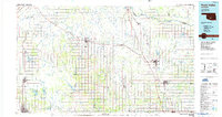 1986 Pauls Valley1986 Print · USGSGarvin County and its neighbors are shown in the mid-1980s during a period of steady growth along the Washita River. Researchers can trace the path of the Atchison Topeka and Santa Fe railroad through Pauls Valley or locate rural sites like Mt Olive Church and Erin Springs.2 unique versions available
 - 2010 Map of Byars, 2010 Print
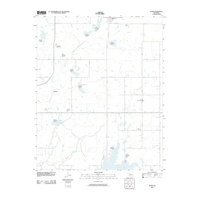 2010 Byars2010 Print · USGSThe rural landscape around Byars is shown in detail during the early 21st century, revealing a complex network of creeks and flood control dams. Researchers can locate several local burial sites such as Civit Cemetery and Clabber Flats Cemetery near the Northeast Civit Oil Field.
 - 2012 Map of Byars, 2012 Print
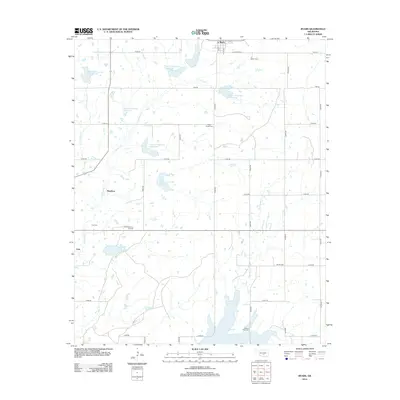 2012 Byars2012 Print · USGSByars and the surrounding McClain County countryside appear in the early 2010s as a landscape defined by water management and oil production. Family historians and researchers can trace local roots through numerous sites like Dixon Chapel Cem, the Northeast Civit Oil Field, and the small settlement of Civit.
 - 2016 Map of Byars, 2016 Print
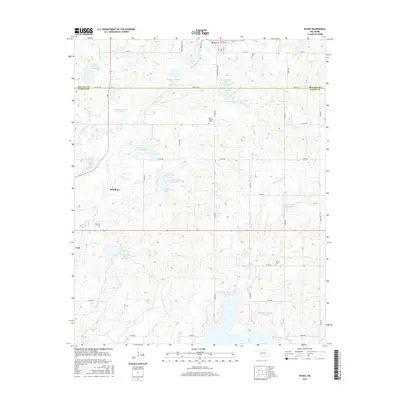 2016 Byars2016 Print · USGSThe Oklahoma prairie between McClain and Garvin counties is shown here in the mid-2010s, centered on the town of Byars. Genealogists and local historians can locate several rural burial grounds including Civit Cem, Abney Cem, and Dixon Chapel Cem.
 - 2018 Map of Byars, 2018 Print
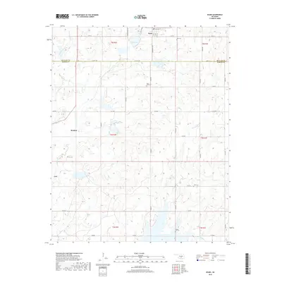 2018 Byars2018 Print · USGSThe rural landscape of McClain and Garvin counties comes into focus in the late 2010s, centered on the community of Byars. Researchers can trace old family burial grounds and small settlements including Civit Cemetery, Boudinot, and Clabber Flats Cemetery.
 - 2022 Map of Byars, 2022 Print
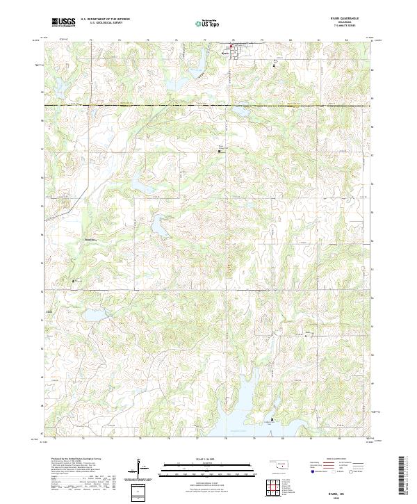 2022 Byars2022 Print · USGSCentral Oklahoma's rural landscapes and county borders are captured here in the early twenty-first century. Genealogists can locate several remote burial sites, including Clabber Flats Cem and Abney Cem, while tracing old homesteads near Boudinot and Civit.
End of results
Showing maps 1-11 of 11
Top cities near Boudinot
- Pauls Valley historical maps
- Slaughterville historical maps
- Wynnewood historical maps
- Lexington historical maps
- Stratford historical maps
- Wayne historical maps
See more
Frequently asked questions
- What are the different types of historical maps available for Boudinot?
- What is the oldest map of Boudinot?
- Where can I purchase historical maps of Boudinot for my home or office?
- Where can I download high-res historical maps of Boudinot?
- Are there historical topographic maps available for Boudinot?
- Is there historical aerial imagery available for Boudinot?
- Where are historical maps of Boudinot sourced from?