2020s Maps of Kiowa County, Oklahoma
Explore 29 historic maps of Kiowa County from the 2020s. These maps offer a rare glimpse into what life looked like during the 2020s — showing old roads, neighborhoods, homes, and landmarks that have changed or disappeared over time.
Whether you're researching your family's past, planning a metal detecting trip, or studying how Kiowa County's landscape evolved across the 2020s, these high-resolution maps are a powerful tool for exploring the history of this region.
- Focus on a specific era: All maps on this page are from the 2020s, giving you a focused view of this time period.
- See what’s changed: Compare century-old streets, trails, and buildings to today's modern landscape using overlays and satellite layers.
- Research with precision: Use these maps for genealogy, historical research, land use analysis, or educational projects.
- View, download, or print: Maps are fully viewable online in high resolution, and can be downloaded or printed for your own records.
Start exploring Kiowa County's history through authentic maps from the 2020s. This is your window into the past.
Kiowa County, OK maps
(29)- 2022 Map of Lake Creek, 2022 Print
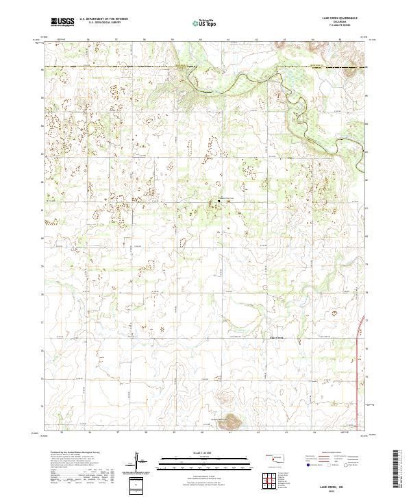 2022 Lake Creek2022 Print · USGSGreer County ranching lands and the tri-county border area appear here in the early twenty-first century. Researchers can trace local history through features like Pleasant Valley Cem, the settlement at Lake Creek, and the winding North Fork Red River.
 - 2022 Map of Carnegie, 2022 Print
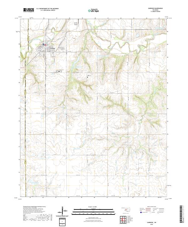 2022 Carnegie2022 Print · USGSCarnegie and the Washita River valley are captured in this modern survey, showing the intersection of Caddo, Washita, and Kiowa counties. Local researchers can locate family plots at Carnegie Cem or trace water management at Saddle Mountain Site 3 Reservoir.
 - 2022 Map of Gotebo West, 2022 Print
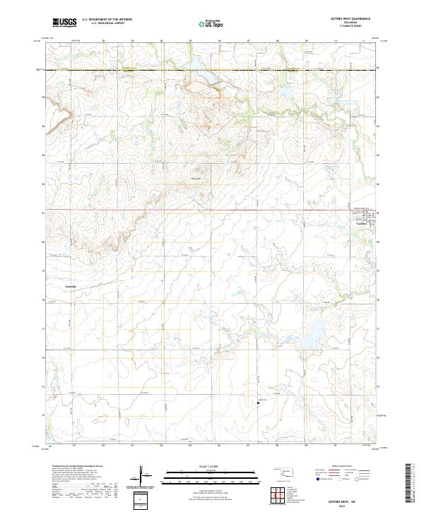 2022 Gotebo West2022 Print · USGSThe borderlands of Washita and Kiowa counties are shown here as they appeared in the early 2020s. Researchers can trace the layout of Gotebo and Komalty or locate family markers at Wyatt Cem and landmarks like Tanny Hill.
 - 2022 Map of Cambridge, 2022 Print
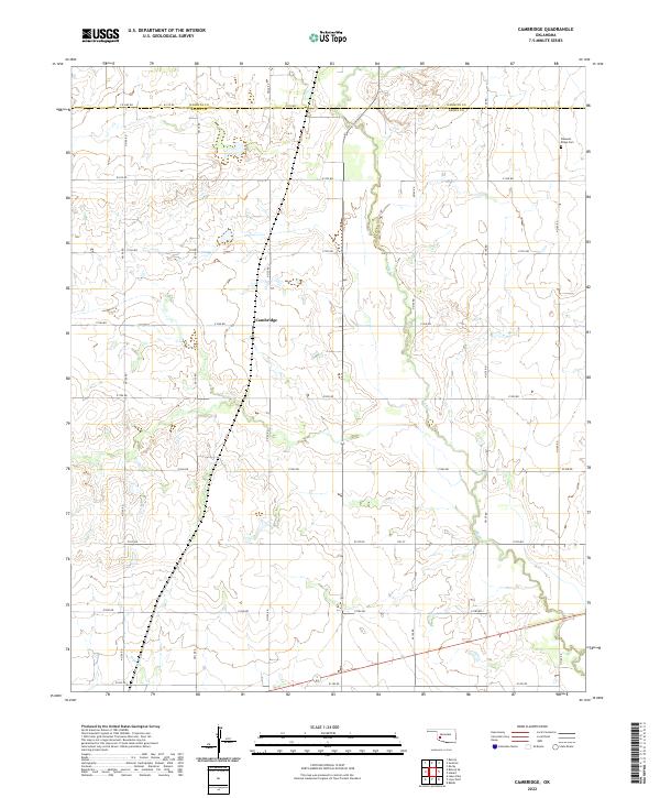 2022 Cambridge2022 Print · USGSOklahoma's southwestern plains are captured in this modern survey of the Kiowa and Washita county line. Researchers can trace the drainage of Elk Cr as it winds past the settlement of Cambridge, following the section-line roads of the agricultural grid.
 - 2022 Map of Hobart, 2022 Print
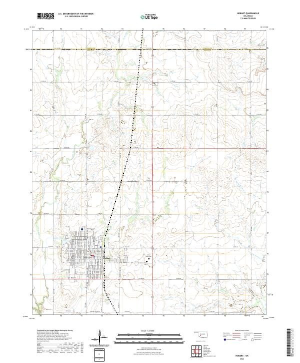 2022 Hobart2022 Print · USGSOklahoma's Kiowa County prairie is documented here in the early twenty-first century, centered on the historic county seat of Hobart. Genealogists and researchers can pinpoint the Kiowa County Courthouse, Hobart Rose Cem, and family locations along the extensive section-line road network.
 - 2022 Map of Retrop SE, 2022 Print
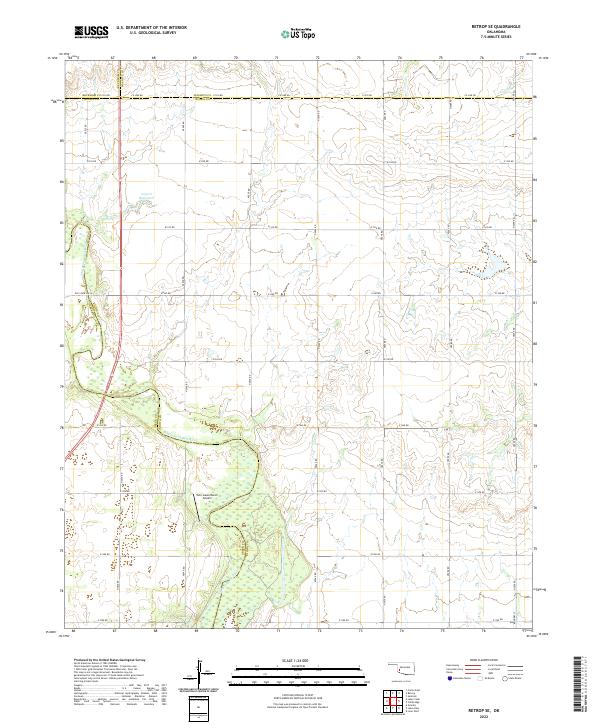 2022 Retrop SE2022 Print · USGSThe rural borderlands of southwest Oklahoma are charted here in the early twenty-first century, where four counties converge. Genealogists can trace family lands along Co Line Rd or near the North Fork Red River and Twin Lakes Ranch.
 - 2022 Map of Stinking Creek, 2022 Print
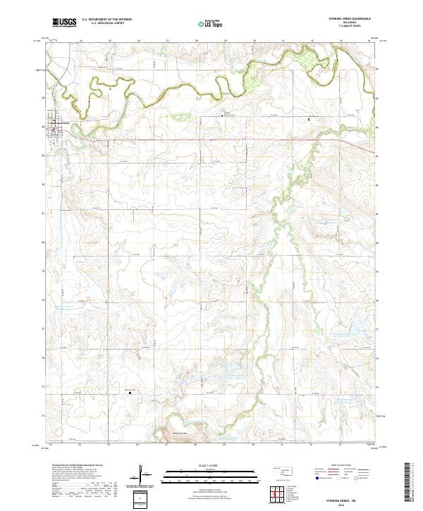 2022 Stinking Creek2022 Print · USGSThe Oklahoma plains around Mountain View are shown in detail here, where the Washita River meets a network of managed water basins. Genealogists and local historians can locate the Anquoe Memorial Cemetery, Samone Cemetery, and Zodletone Mountain.
 - 2022 Map of Headrick, 2022 Print
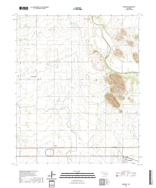 2022 Headrick2022 Print · USGSThe Oklahoma plains meet the Navajo Mountains in this recent survey of the Headrick area. Genealogists and local historians can map out the rural communities of Friendship and Ozark or locate burials at Navajo Cem.
 - 2022 Map of Lone Wolf, 2022 Print
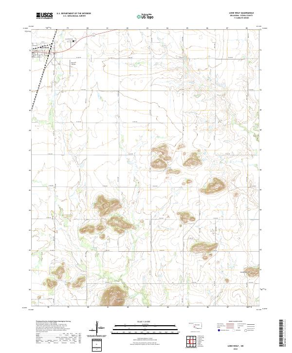 2022 Lone Wolf2022 Print · USGSLone Wolf and the surrounding Kiowa County plains appear here in the early twenty-first century, showing a landscape defined by isolated peaks and grid roads. Genealogists and local historians can locate Lone Wolf Cem, Hohman Airport, and the distinct heights of Tepee Mtn.
 - 2022 Map of Tipton SE, 2022 Print
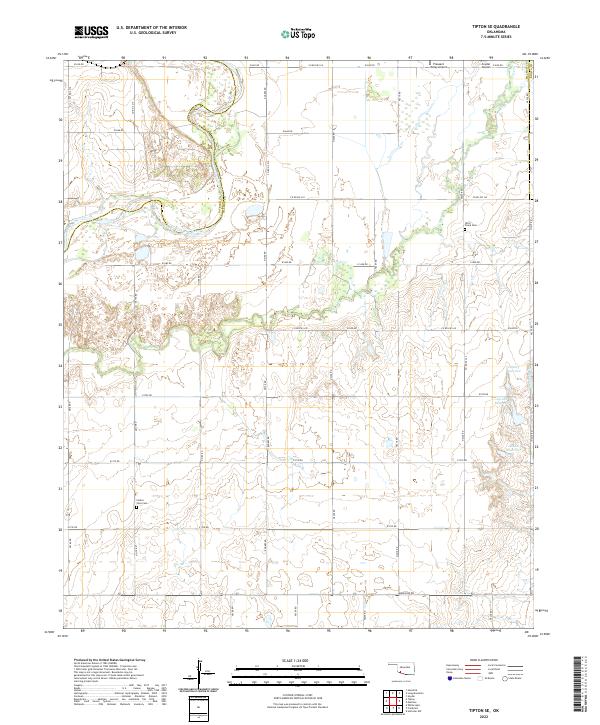 2022 Tipton SE2022 Print · USGSTillman County in the early 2020s shows a landscape of riverine boundaries and rural homesteads. Genealogists and historians can trace local family landmarks like Otter Creek Cem, Center View Cem, and the reaches of Deadman Cr.
 - 2022 Map of Warren, 2022 Print
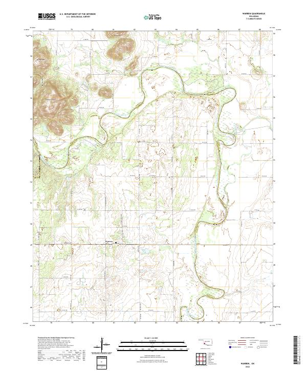 2022 Warren2022 Print · USGSSouthwest Oklahoma at the start of the 2020s shows a landscape of river-bend ranching and rugged foothill terrain. Genealogists and local historians can trace the community of Warren and the Warren Cem near the winding North Fork Red River.
 - 2022 Map of Long Mountain, 2022 Print
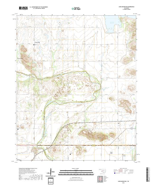 2022 Long Mountain2022 Print · USGSKiowa and Jackson Counties are shown here during the early twenty-first century, defined by the winding course of the North Fork Red River. Genealogists can locate several local burial grounds, including Centerville Cem and Rogers Cem, near landmarks like Cable Mtn.
 - 2022 Map of Roosevelt, 2022 Print
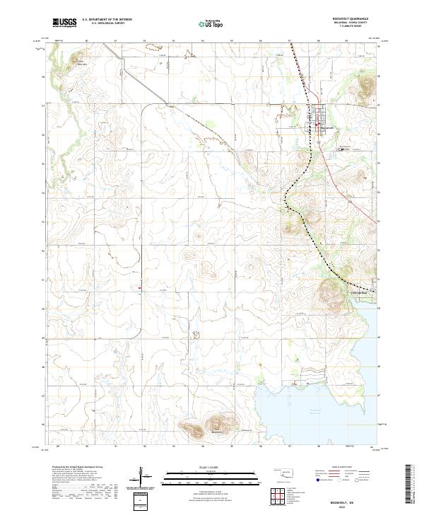 2022 Roosevelt2022 Print · USGSRoosevelt and the surrounding plains of Kiowa County are documented here in the early twenty-first century. Genealogists can trace the residential grid of Roosevelt near Roosevelt Cem or locate the shoreline settlement of Cold Springs by Tom Steed Reservoir.
 - 2022 Map of Babbs, 2022 Print
 2022 Babbs2022 Print · USGSIn southwestern Oklahoma, this 2022 survey captures the rural layout of Kiowa County near the Babbs community. Genealogists and local historians can trace the landscape surrounding Elk Creek Cem, the Hobart Regional Airport, and the prominent Camelback Mtn.
 - 2022 Map of Blair, 2022 Print
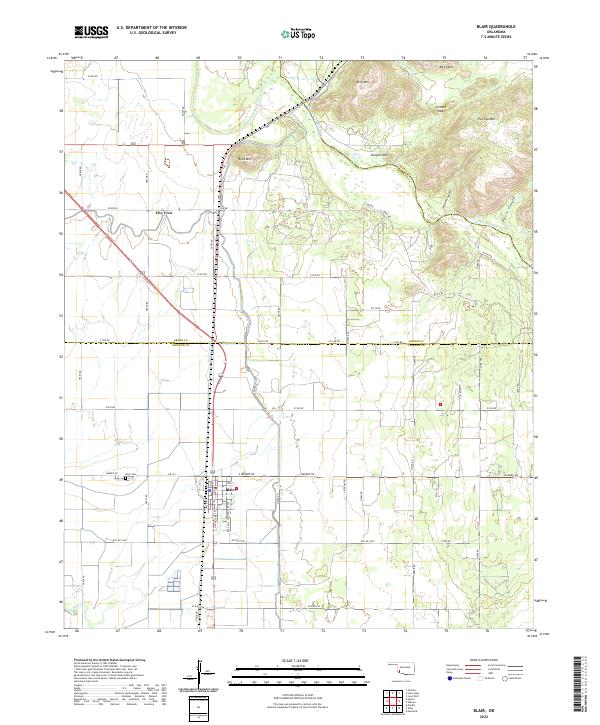 2022 Blair2022 Print · USGSSouthwestern Oklahoma farmland meets the mountains in the early 2020s as the river forks converge. Genealogists can trace family sites at Blair Cem and through the streets of Blair, while hikers can locate Wisdom Canyon and Cement Gap.
 - 2022 Map of Cooperton, 2022 Print
 2022 Cooperton2022 Print · USGSThe Kiowa and Comanche county line divides this rugged section of Oklahoma as it appeared in the 2020s. Researchers can locate the Springhill Cem near Cooperton or trace the drainage of Sugar Cr through the Wichita Mountains.
 - 2022 Map of Rainy Mountain Creek, 2022 Print
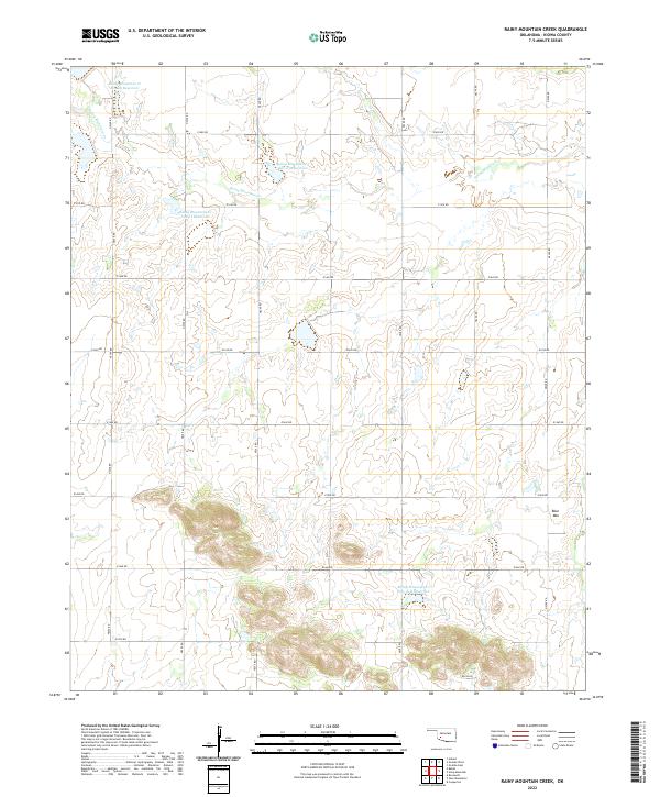 2022 Rainy Mountain Creek2022 Print · USGSSouthwestern Oklahoma at the start of the 2020s shows a landscape of precision water management and section-line roads. Trace the winding Rainy Mountain Cr past Blue Mtn and the local reservoirs that dot these Kiowa County rural reaches.
 - 2022 Map of Indiahoma, 2022 Print
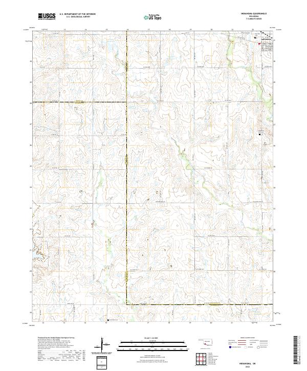 2022 Indiahoma2022 Print · USGSIndiahoma and the surrounding southwestern Oklahoma prairies are captured here in the early twenty-first century. Researchers can locate family sites and rural landmarks like Post Oak Cem, Indiahoma IOOF Cem, and the waters of Horse Cr.
 - 2022 Map of Snyder, 2022 Print
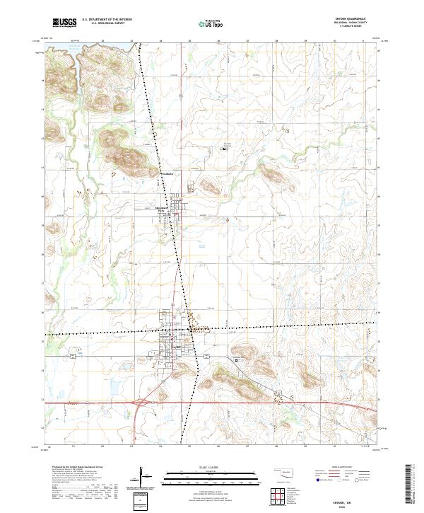 2022 Snyder2022 Print · USGSKiowa County life in the early 2020s is centered around the grids of Snyder and Mountain Park amidst a landscape shaped by the Otter Creek system. Researchers can trace local heritage at Fairlawn Cem or follow the path of Old US Hwy 62.
 - 2022 Map of Odetta, 2022 Print
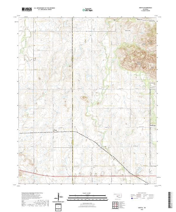 2022 Odetta2022 Print · USGSSouthwest Oklahoma's ranching country meets the granite peaks of the Wichita Mountains in this modern survey. Researchers can trace the drainage of Deep Red Cr or locate family landmarks like Sunset Peak, Bell Mtn, and the small settlement of Odetta.
 - 2022 Map of Unap Mountain, 2022 Print
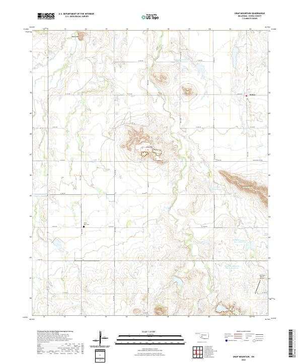 2022 Unap Mountain2022 Print · USGSKiowa County's varied landscape comes into focus in the early 2020s, showing a mix of prominent peaks and livestock ranching infrastructure. Genealogists and local historians can locate Union Dale Cem and the settlement of Sedan near the slopes of Unap Mtn.
 - 2022 Map of Alden, 2022 Print
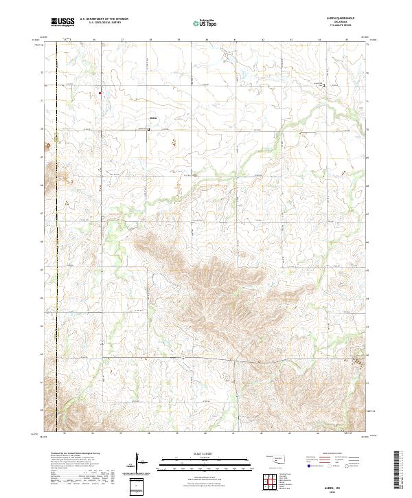 2022 Alden2022 Print · USGSThe rural landscape of Caddo County comes into focus in this recent survey of the prairie near the Kiowa County border. Genealogists and local historians can trace family roots through Alden Cem and Greenfield Cem or follow the winding courses of E Cache Cr and Tahoe Cr.
 - 2022 Map of Bally Mountain, 2022 Print
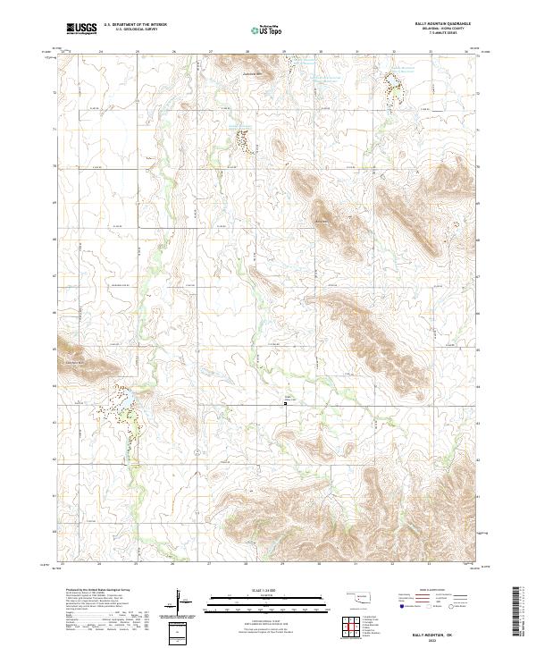 2022 Bally Mountain2022 Print · USGSKiowa County's rugged terrain and essential water reservoirs are detailed here in the early twenty-first century. Genealogists and local historians can locate the Green Valley Cemetery and trace the paths of Pecan Creek and Stinking Creek.
 - 2022 Map of Gotebo East, 2022 Print
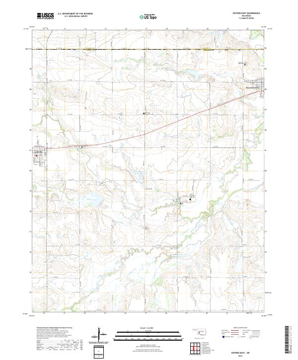 2022 Gotebo East2022 Print · USGSKiowa and Washita counties are shown here in the early twenty-first century, centered on the rural settlements along State Highway 9. Researchers can locate numerous pioneer and community burial grounds, including Rainy Mountain Old Cem, Ebenezer Mennonite Cem, and Mountain View Cem.
 - 2022 Map of Saddle Mountain, 2022 Print
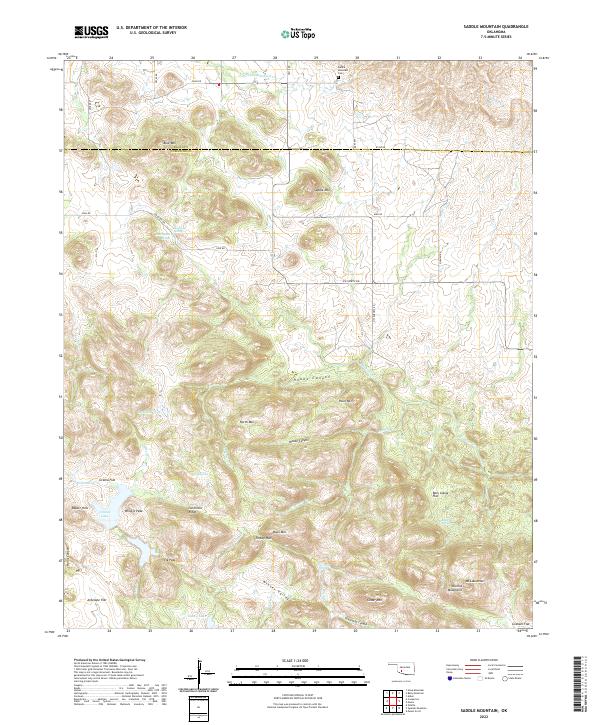 2022 Saddle Mountain2022 Print · USGSThe Wichita Mountains and southern plains of Kiowa and Comanche counties are shown here in modern detail. Researchers can trace family sites near Saddle Mountain Cem or explore geographic landmarks like Geronimo Ridge and Kiowa Lake.
Showing maps 1-25 of 29
Top cities of Kiowa County
- Hobart historical maps
- Snyder historical maps
- Mountain View historical maps
- Lone Wolf historical maps
- Mountain Park historical maps
- Roosevelt historical maps
See more
Frequently asked questions
- What are the different types of historical maps available for Kiowa County?
- What is the oldest map of Kiowa County?
- Where can I purchase historical maps of Kiowa County for my home or office?
- Where can I download high-res historical maps of Kiowa County?
- Are there historical topographic maps available for Kiowa County?
- Is there historical aerial imagery available for Kiowa County?
- Where are historical maps of Kiowa County sourced from?