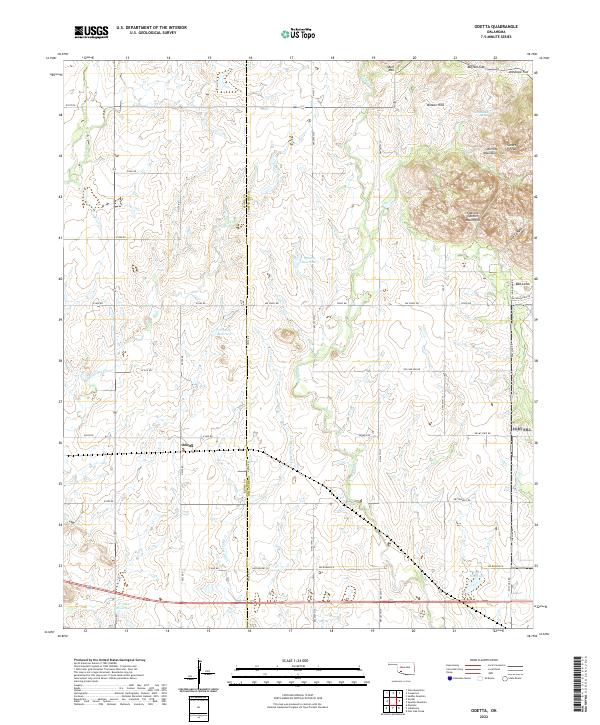
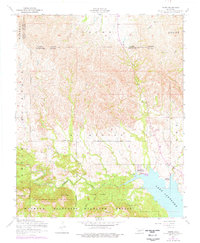
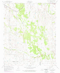
2022 Map of Odetta
USGS Topo · Published 2022This historical map portrays the area of Odetta in 2022, primarily covering Comanche County as well as portions of Kiowa County. Featuring a scale of 1:24000, this map provides a highly detailed snapshot of the terrain, roads, buildings, counties, and historical landmarks in the Odetta region at the time. Published in 2022, it is the sole known edition of this map.
Map Details
Editions of this 2022 Odetta Map
This is the sole edition of this map. No revisions or reprints were ever made.
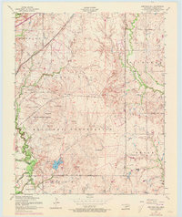
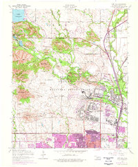
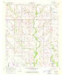
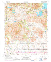
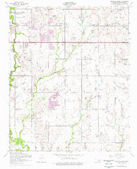
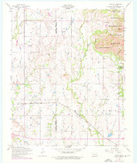
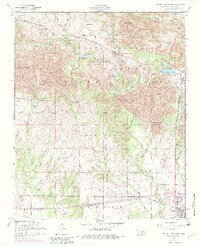
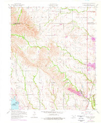
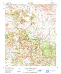
Historical Maps of Kiowa County Through Time
47 maps found

1937 Quanah Mountain
Comanche County, OK

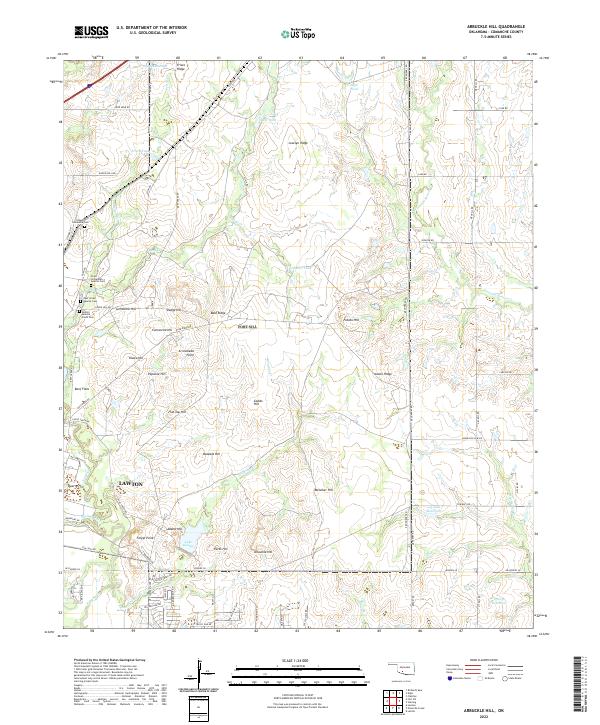
1949 Arbuckle Hill
Comanche County, OK

1949 Fort Sill
Comanche County, OK

1949 Mount Scott
Comanche County, OK

1949 Nellie
Comanche County, OK

1949 Quanah Mountain
Comanche County, OK

1950 Saddle Mountain
Comanche County, OK
1956 Arbuckle Hill
Comanche County, OK
1956 Fort Sill
Comanche County, OK
1956 Letitia
Comanche County, OK
1956 Meers
Comanche County, OK
1956 Mount Scott
Comanche County, OK

1956 Nellie
Comanche County, OK
1956 Ninemile Creek
Comanche County, OK
1956 Odetta
Comanche County, OK
1956 Post Oak Creek
Comanche County, OK
1956 Quanah Mountain
Comanche County, OK
1956 Richards Spur
Comanche County, OK

1956 Saddle Mountain
Comanche County, OK
1956 Saddle Mountain
Comanche County, OK
1956 Taupa
Comanche County, OK

1991 Arbuckle Hill
Comanche County, OK

1991 Fort Sill
Comanche County, OK

1991 Letitia
Comanche County, OK

1991 Meers
Comanche County, OK

1991 Mount Scott
Comanche County, OK

1991 Ninemile Creek
Comanche County, OK

1991 Odetta
Comanche County, OK

1991 Post Oak Creek
Comanche County, OK

1991 Quanah Mountain
Comanche County, OK
1991 Richards Spur
Comanche County, OK
1991 Saddle Mountain
Comanche County, OK

1991 Taupa
Comanche County, OK

1997 Mount Scott
Comanche County, OK

1997 Quanah Mountain
Comanche County, OK
2022 Arbuckle Hill
Comanche County, OK
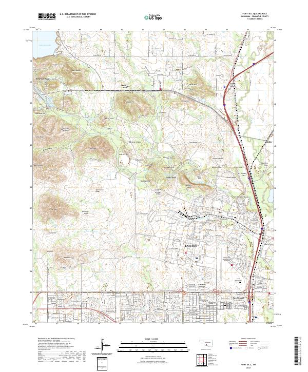
2022 Fort Sill
Comanche County, OK
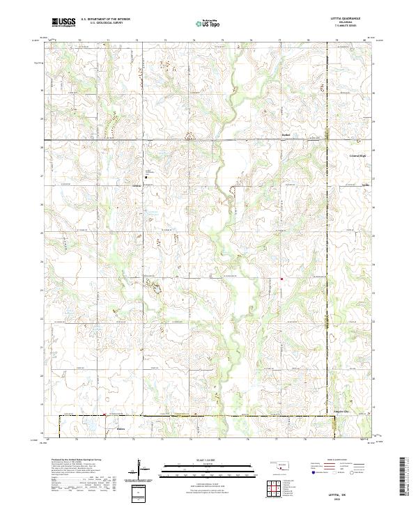
2022 Letitia
Comanche County, OK
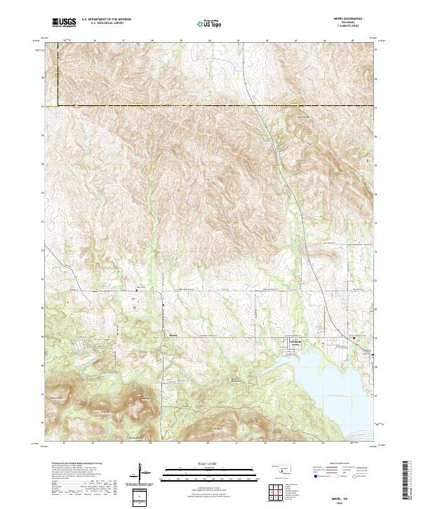
2022 Meers
Comanche County, OK
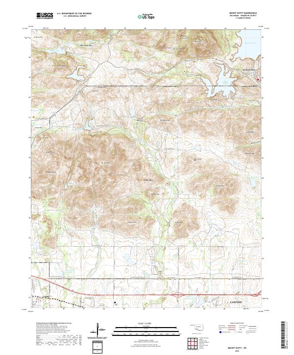
2022 Mount Scott
Comanche County, OK
2022 Ninemile Creek
Comanche County, OK
2022 Odetta
Comanche County, OK
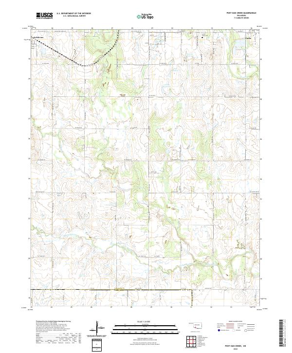
2022 Post Oak Creek
Comanche County, OK
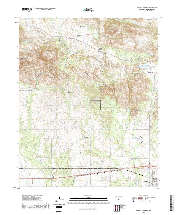
2022 Quanah Mountain
Comanche County, OK
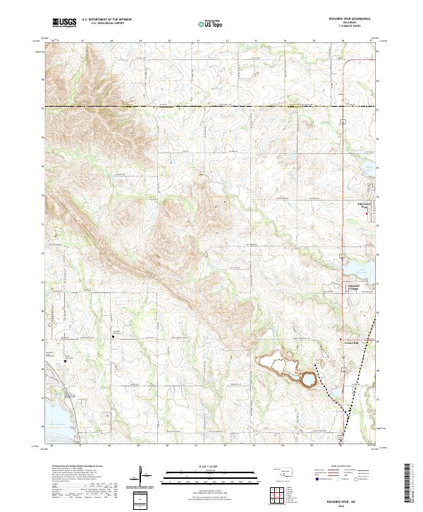
2022 Richards Spur
Comanche County, OK
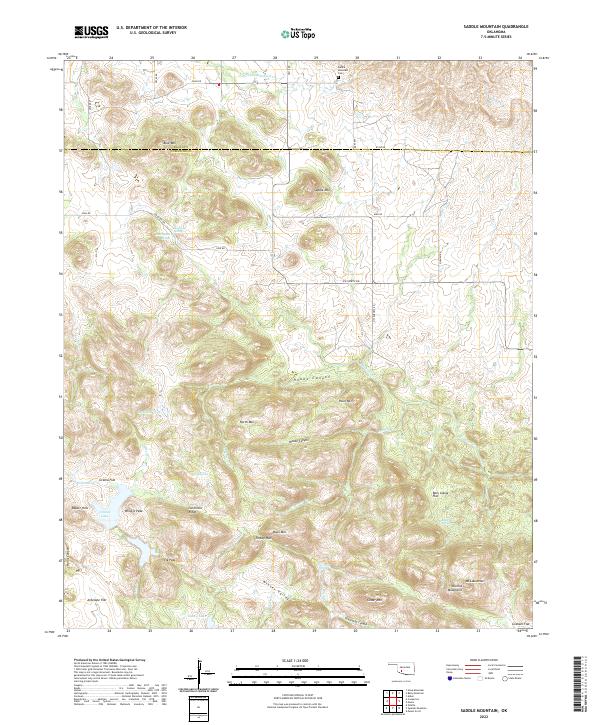
2022 Saddle Mountain
Comanche County, OK
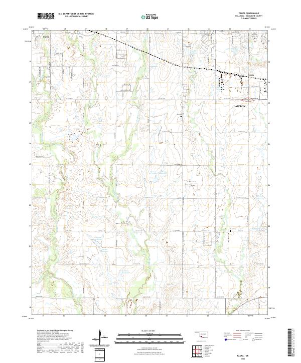
2022 Taupa
Comanche County, OK