
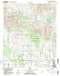
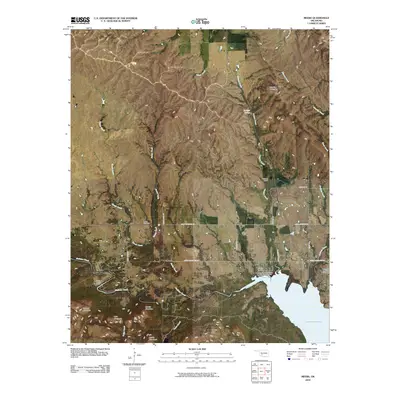
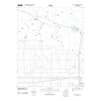
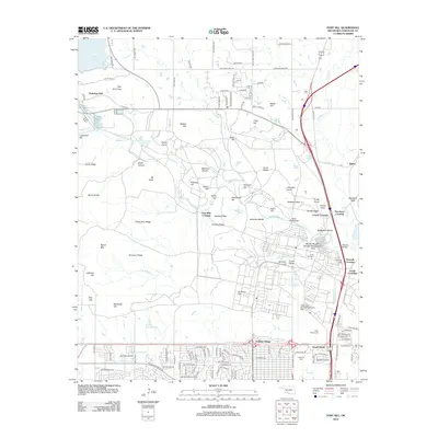
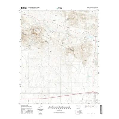
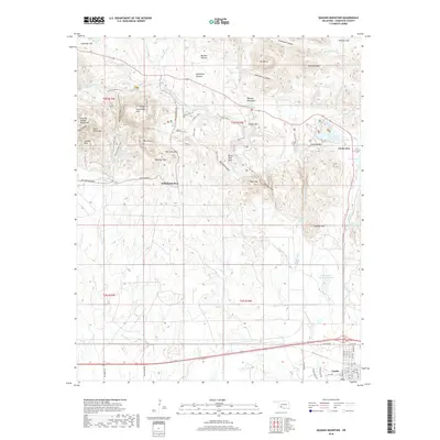
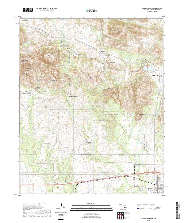
1997 Map of Quanah Mountain
USGS Topo · Published 1999About this map
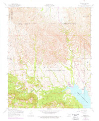
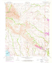
The Wichita Mountains National Wildlife Refuge dominates the northern half of this landscape, showcasing a complex of granite peaks and deep canyons including Mount Lincoln, Elk Mountain, and Mount Marcy. Established early in the 20th century to protect remnant bison and wildlife, the refuge features specific preservation zones like the Charons Garden Wilderness and various recreation points such as Quanah Parker Lake and French Lake. Below the refuge boundary, the land transitions into the expansive Fort Sill Military Reservation, where the terrain flattens toward Post Oak Creek and Oak Creek. The human footprint is most visible at the Indiahoma Wye and the town of Cache, while legacy features like the Peprington Mine and numerous Lookout Towers reflect the area's mixed history of resource extraction, defense, and observation. Water management is central to this arid environment, evidenced by a network of engineered features like Burford Lake and Caddo Lake tucked into the mountain folds.
Find a feature on this map
71 named features on this map. Tap any name to fly to it.
Don’t see what you’re looking for? This feature index may not catch every label — zoom into the map to look around manually.
Map Details
Editions of this 1997 Quanah Mountain Map
2 editions found
Historical Maps of Cache Through Time
95 maps found

1937 Quanah Mountain
Comanche County, OK

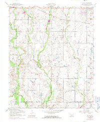
1949 Arbuckle Hill
Comanche County, OK

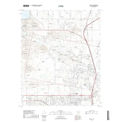
1949 Fort Sill
Comanche County, OK

1949 Mount Scott
Comanche County, OK

1949 Nellie
Comanche County, OK

1949 Quanah Mountain
Comanche County, OK

1950 Saddle Mountain
Comanche County, OK
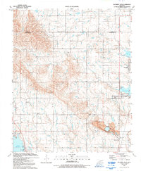
1956 Arbuckle Hill
Comanche County, OK
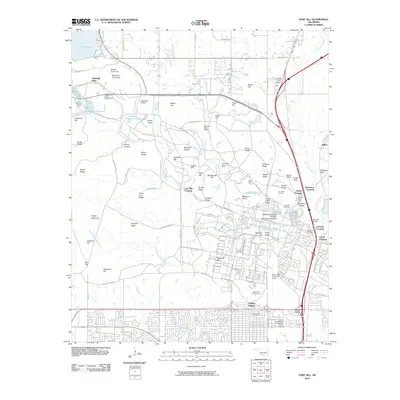
1956 Fort Sill
Comanche County, OK
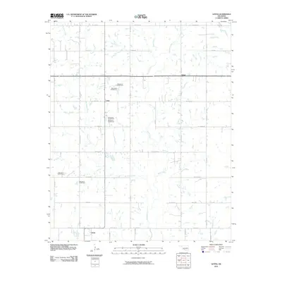
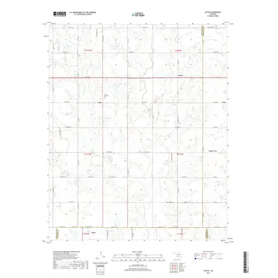
1956 Letitia
Comanche County, OK
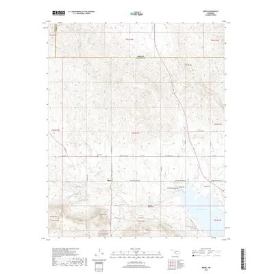
1956 Meers
Comanche County, OK
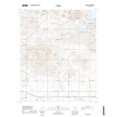
1956 Mount Scott
Comanche County, OK

1956 Nellie
Comanche County, OK
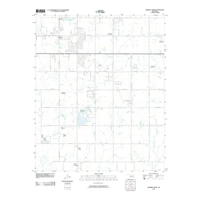
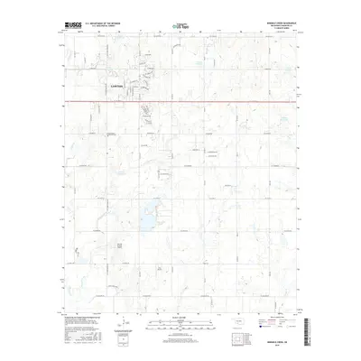
1956 Ninemile Creek
Comanche County, OK
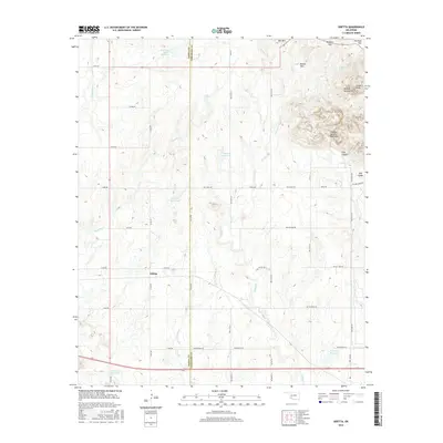
1956 Odetta
Comanche County, OK
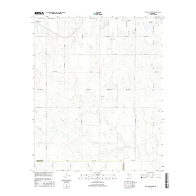
1956 Post Oak Creek
Comanche County, OK
1956 Quanah Mountain
Comanche County, OK
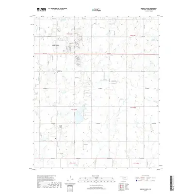
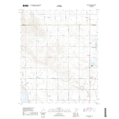
1956 Richards Spur
Comanche County, OK

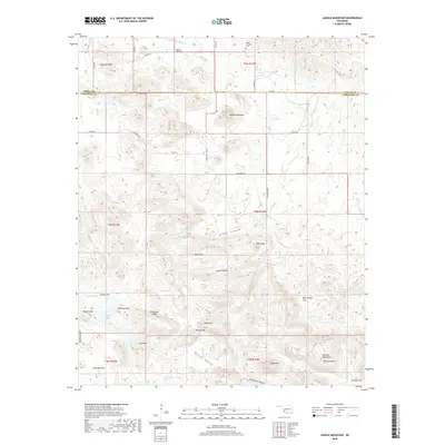
1956 Saddle Mountain
Comanche County, OK
1956 Saddle Mountain
Comanche County, OK
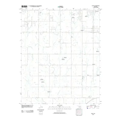
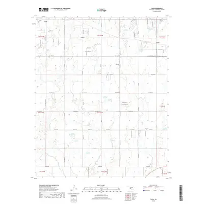
1956 Taupa
Comanche County, OK

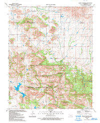
1991 Arbuckle Hill
Comanche County, OK

1991 Fort Sill
Comanche County, OK

1991 Letitia
Comanche County, OK

1991 Meers
Comanche County, OK

1991 Mount Scott
Comanche County, OK

1991 Ninemile Creek
Comanche County, OK

1991 Odetta
Comanche County, OK

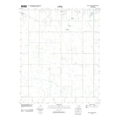
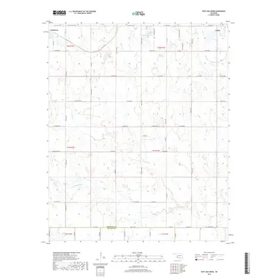
1991 Post Oak Creek
Comanche County, OK

1991 Quanah Mountain
Comanche County, OK
1991 Richards Spur
Comanche County, OK
1991 Saddle Mountain
Comanche County, OK

1991 Taupa
Comanche County, OK

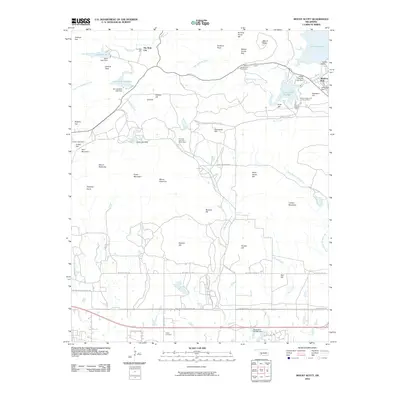
1997 Mount Scott
Comanche County, OK
1997 Quanah Mountain
Comanche County, OK
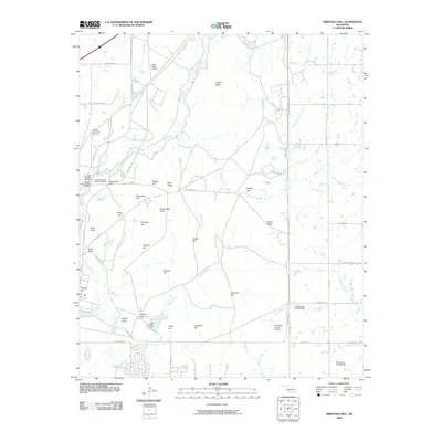
2009 Arbuckle Hill
Comanche County, OK
2009 Ninemile Creek
Comanche County, OK
2009 Taupa
Comanche County, OK
2010 Fort Sill
Comanche County, OK
2010 Letitia
Comanche County, OK
2010 Meers
Comanche County, OK
2010 Mount Scott
Comanche County, OK
2010 Odetta
Comanche County, OK
2010 Post Oak Creek
Comanche County, OK
2010 Quanah Mountain
Comanche County, OK
2010 Richards Spur
Comanche County, OK
2010 Saddle Mountain
Comanche County, OK
2012 Arbuckle Hill
Comanche County, OK
2012 Fort Sill
Comanche County, OK
2012 Letitia
Comanche County, OK
2012 Meers
Comanche County, OK
2012 Mount Scott
Comanche County, OK
2012 Ninemile Creek
Comanche County, OK
2012 Odetta
Comanche County, OK
2012 Post Oak Creek
Comanche County, OK
2012 Quanah Mountain
Comanche County, OK
2012 Richards Spur
Comanche County, OK
2012 Saddle Mountain
Comanche County, OK
2012 Taupa
Comanche County, OK
2016 Arbuckle Hill
Comanche County, OK
2016 Fort Sill
Comanche County, OK
2016 Letitia
Comanche County, OK
2016 Meers
Comanche County, OK
2016 Mount Scott
Comanche County, OK
2016 Ninemile Creek
Comanche County, OK
2016 Odetta
Comanche County, OK
2016 Post Oak Creek
Comanche County, OK
2016 Quanah Mountain
Comanche County, OK
2016 Richards Spur
Comanche County, OK
2016 Saddle Mountain
Comanche County, OK
2016 Taupa
Comanche County, OK
2018 Arbuckle Hill
Comanche County, OK
2018 Fort Sill
Comanche County, OK
2018 Letitia
Comanche County, OK
2018 Meers
Comanche County, OK
2018 Mount Scott
Comanche County, OK
2018 Ninemile Creek
Comanche County, OK
2018 Odetta
Comanche County, OK
2018 Post Oak Creek
Comanche County, OK
2018 Quanah Mountain
Comanche County, OK
2018 Richards Spur
Comanche County, OK
2018 Saddle Mountain
Comanche County, OK
2018 Taupa
Comanche County, OK
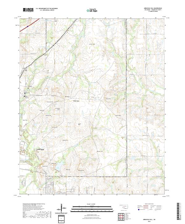
2022 Arbuckle Hill
Comanche County, OK
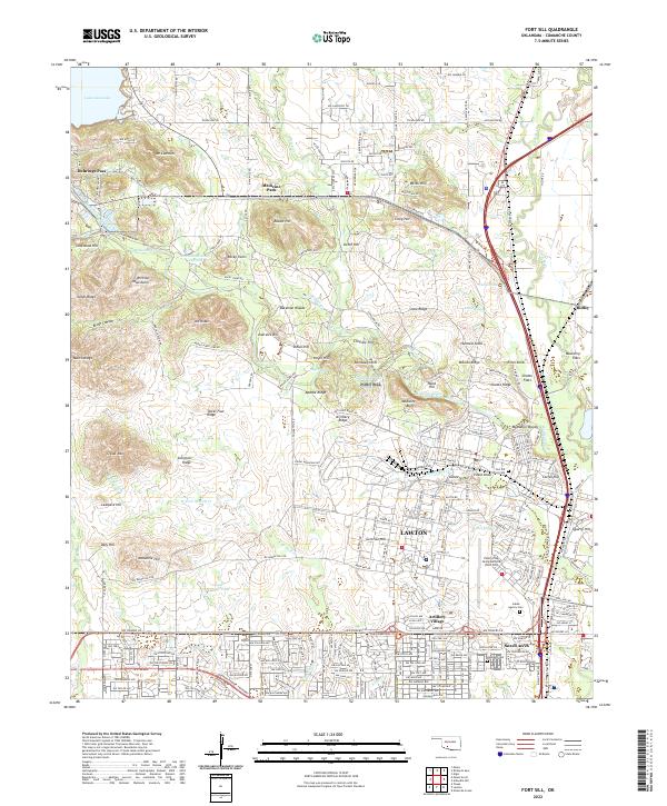
2022 Fort Sill
Comanche County, OK
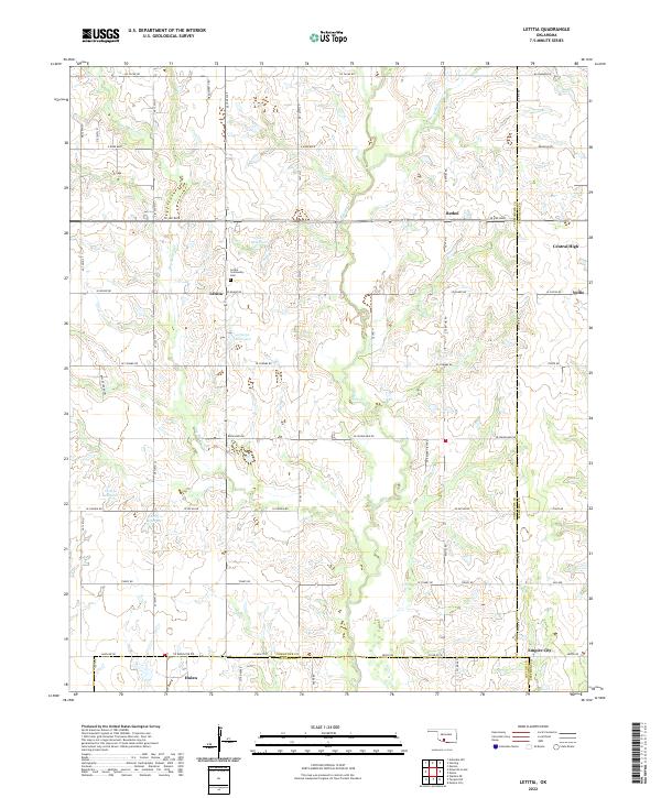
2022 Letitia
Comanche County, OK
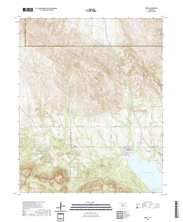
2022 Meers
Comanche County, OK
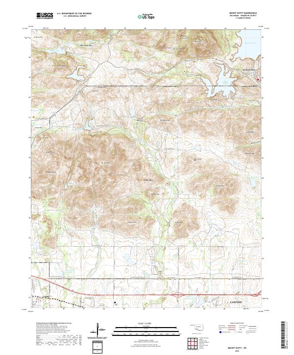
2022 Mount Scott
Comanche County, OK
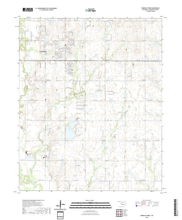
2022 Ninemile Creek
Comanche County, OK
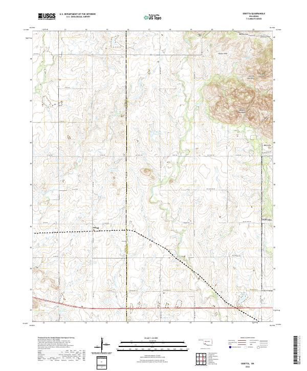
2022 Odetta
Comanche County, OK
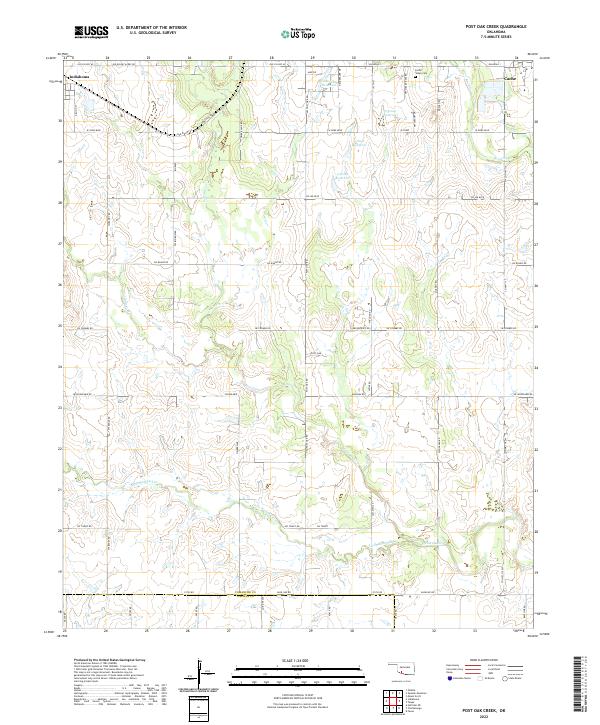
2022 Post Oak Creek
Comanche County, OK
2022 Quanah Mountain
Comanche County, OK
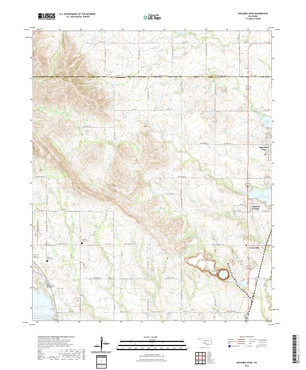
2022 Richards Spur
Comanche County, OK
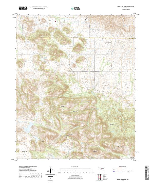
2022 Saddle Mountain
Comanche County, OK
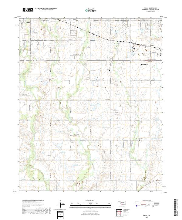
2022 Taupa
Comanche County, OK