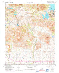
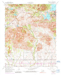
1956 Map of Mount Scott
USGS Topo · Published 1992About this map
Wichita Mountains Wildlife Refuge dominates this mid-century landscape, providing a protected habitat for native wildlife amidst the dramatic granite peaks of southwestern Oklahoma. The map reveals a unique cultural layer with The Holy City and Holy City Church, a destination for religious pageantry. To the south, the sprawling Fort Sill Military Reservation occupies a significant portion of the terrain, while the community of Medicine Park sits near the eastern shore of Lake Lawtonka. Transportation and recreation are centered around water features like Elmer Thomas Lake and the St Louis San Francisco railroad line passing through the town of Cache. From the Cache Cemetery to Craterville Park, the map documents a blend of military land use, public conservation, and local settlement history in Comanche County.
Find a feature on this map
62 named features on this map. Tap any name to fly to it.
Don’t see what you’re looking for? This feature index may not catch every label — zoom into the map to look around manually.
Map Details
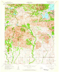
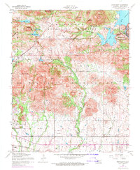
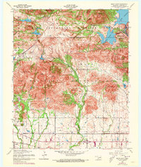
Editions of this 1956 Mount Scott Map
5 editions found
Other maps of this area

1937 · Cache
USGS Topo · 1:48,000

1937 · Quanah Mountain
USGS Topo · 1:24,000

1942 · Cache
USGS Topo · 1:62,500

1946 · Lawton
USGS Topo · 1:62,500

1949 · Mount Scott
USGS Topo · 1:24,000

1949 · Quanah Mountain
USGS Topo · 1:24,000

1949 · Fort Sill
USGS Topo · 1:24,000

1950 · Saddle Mountain
USGS Topo · 1:62,500

1955 · Lawton
USGS Topo · 1:250,000

1956 · Post Oak Creek
USGS Topo · 1:24,000