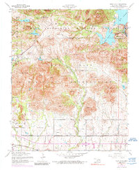
1956 Map of Mount Scott
USGS Topo · Published 1990About this map
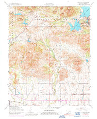
The dramatic geography of the Wichita Mountains Wildlife Refuge dominates this mid-century survey, where sharp peaks like Mount Scott and Mount Roosevelt overlook a complex network of canyons and creeks. Cultural landmarks such as The Holy City and its associated Holy City Church appear alongside recreational areas like Medicine Park and Craterville Park. To the south, the landscape transitions into the expansive Fort Sill Military Reservation, showing a pattern of military utility with names like Ketch Field Landing Strip and the Signal Mountain Road. The town of Cache sits at the southern edge of the mountains, served by the St Louis San Francisco railroad. This map illustrates the intersection of federal conservation, military training grounds, and early twentieth-century tourism sites that characterized this portion of Comanche County before modern development intensified.
Find a feature on this map
63 named features on this map. Tap any name to fly to it.
Don’t see what you’re looking for? This feature index may not catch every label — zoom into the map to look around manually.
Map Details
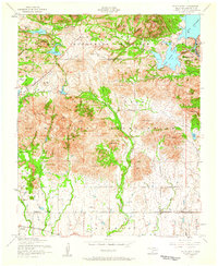
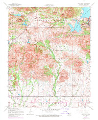
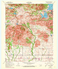
Editions of this 1956 Mount Scott Map
5 editions found
Other maps of this area

1937 · Cache
USGS Topo · 1:48,000

1937 · Quanah Mountain
USGS Topo · 1:24,000

1942 · Cache
USGS Topo · 1:62,500

1946 · Lawton
USGS Topo · 1:62,500

1949 · Mount Scott
USGS Topo · 1:24,000

1949 · Quanah Mountain
USGS Topo · 1:24,000

1949 · Fort Sill
USGS Topo · 1:24,000

1950 · Saddle Mountain
USGS Topo · 1:62,500

1955 · Lawton
USGS Topo · 1:250,000

1956 · Post Oak Creek
USGS Topo · 1:24,000