2000s (21st Century) Maps of Major County, Oklahoma
Explore 130 historic maps of Major County from the 2000s (21st Century). These maps offer a rare glimpse into what life looked like during the 2000s — showing old roads, neighborhoods, homes, and landmarks that have changed or disappeared over time.
Whether you're researching your family's past, planning a metal detecting trip, or studying how Major County's landscape evolved across the 2000s, these high-resolution maps are a powerful tool for exploring the history of this region.
- Focus on a specific era: All maps on this page are from the 2000s, giving you a focused view of this time period.
- See what’s changed: Compare century-old streets, trails, and buildings to today's modern landscape using overlays and satellite layers.
- Research with precision: Use these maps for genealogy, historical research, land use analysis, or educational projects.
- View, download, or print: Maps are fully viewable online in high resolution, and can be downloaded or printed for your own records.
Start exploring Major County's history through authentic maps from the 2000s. This is your window into the past.
Major County, OK maps
(130)- 2009 Map of Fairview NE, 2009 Print
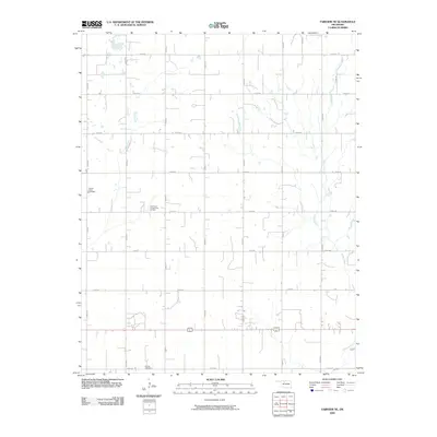 2009 Fairview NE2009 Print · USGSMajor County at the end of the first decade of the millennium shows a landscape defined by traditional section-line farming and active energy extraction. Genealogists and local historians can locate Square Cedar Cemetery, Forrest Cemetery, and the Southeast Chaney Dell Oil Field.
 - 2009 Map of Barr, 2009 Print
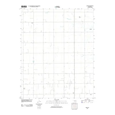 2009 Barr2009 Print · USGSIn the early twenty-first century, this corner of Kingfisher County remains a dedicated agricultural landscape organized by a rigorous section-line grid. Researchers can locate legacy sites like the Dunbar School and family landmarks such as Wildwood Cemetery.
 - 2009 Map of Fairview SE, 2009 Print
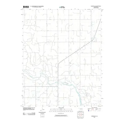 2009 Fairview SE2009 Print · USGSMajor County at the end of the first decade of the 2000s shows a landscape of wide river plains and established agricultural grids. Genealogists and local historians can locate the Sorge Cemetery or trace the winding paths of the Cimarron River and Indian Creek.
 - 2009 Map of Fairview, 2009 Print
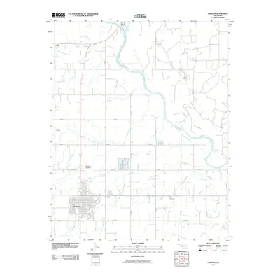 2009 Fairview2009 Print · USGSMajor County at the end of the first decade of the 2000s shows a landscape of steady agricultural development and established rural infrastructure. Researchers can locate family heritage sites at Saron Cemetery and Rusk Cemetery or trace the winding path of the Cimarron River.
 - 2009 Map of Cleo Springs, 2009 Print
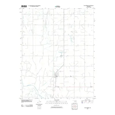 2009 Cleo Springs2009 Print · USGSCleo Springs and the northern bank of the Cimarron River are documented here in the early twenty-first century. Researchers can trace local landmarks and family sites including the Cleo Springs Cemetery, the course of Eagle Chief Creek, and the Oknoname 093002 Dam.
 - 2009 Map of Glass Mountains NW, 2009 Print
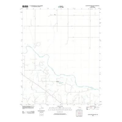 2009 Glass Mountains NW2009 Print · USGSWoods County is shown in the early twenty-first century as a landscape of wide river plains and established rural homesteads. Genealogists and local historians can locate Galena Cemetery and trace the winding course of the Cimarron River and Barney Creek.
 - 2009 Map of Ames, 2009 Print
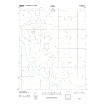 2009 Ames2009 Print · USGSThe rural town of Ames and the surrounding Oklahoma prairie are captured here in the early twenty-first century. Genealogists and local historians can trace the precise section-line roads and water features like Silver Lake and the Cimarron River.
 - 2009 Map of Glass Mountains NE, 2009 Print
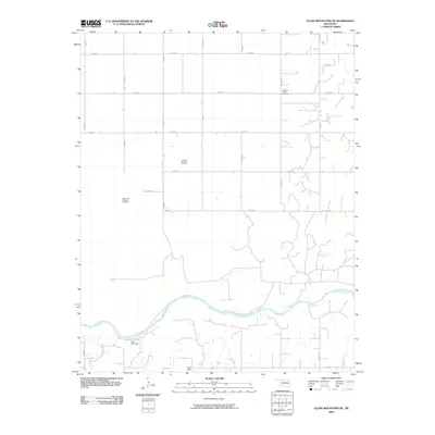 2009 Glass Mountains NE2009 Print · USGSAlfalfa County's river plains and energy fields are documented here in the early twenty-first century. Genealogists and researchers can locate the Pleasant Ridge Cemetery and trace the industrial footprint of the Oakdale Gas and Oil Field near the Cimarron River.
 - 2009 Map of Glass Mountains SW, 2009 Print
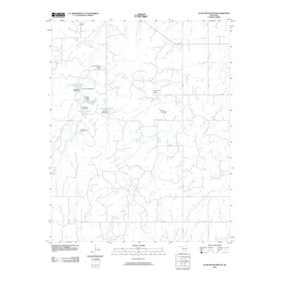 2009 Glass Mountains SW2009 Print · USGSMajor County during the first decade of the millennium shows a landscape defined by petroleum extraction and systematic water engineering. Researchers can trace the extent of the Cheyenne Valley Oil Field and locate landmarks like Lone Star Cemetery and Tepee Mountain.
 - 2009 Map of Ringwood, 2009 Print
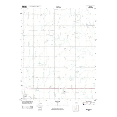 2009 Ringwood2009 Print · USGSMajor County at the close of the first decade of the 2000s shows a landscape of settled prairie towns and family farmsteads. Genealogists and researchers can locate Saint Michael Cemetery, the town of Meno, and the waters of Koehn Lake along the rural road network.
 - 2009 Map of Lahoma, 2009 Print
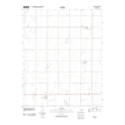 2009 Lahoma2009 Print · USGSOklahoma's Garfield County plains are documented here just before the end of the first decade of the 2000s. Researchers can locate community anchors like Vernon School and trace family roots through Rose Hill Cemetery or Zion Cemetery.
 - 2009 Map of Glass Mountains, 2009 Print
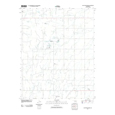 2009 Glass Mountains2009 Print · USGSMajor County, Oklahoma, is defined by its rural grid and the striking mesas of the Glass Mountains during the early 21st century. Genealogists and local historians can pinpoint family burial sites at Cheyenne Valley Cemetery and Roscoe Cemetery or trace water rights near Edwards Lake.
 - 2009 Map of Canton NW, 2009 Print
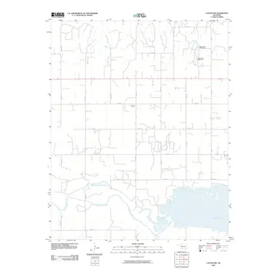 2009 Canton NW2009 Print · USGSThe North Canadian River valley in Major County is captured here in the early twenty-first century. Genealogists and local historians can locate Fern Cliff Cemetery and trace the shorelines of Canton Lake and Red Bluff Cutoff Lake.
 - 2009 Map of Drummond, 2009 Print
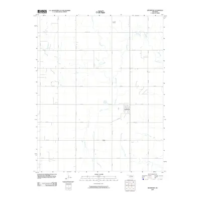 2009 Drummond2009 Print · USGSGarfield County in the early 2000s remains a landscape of traditional section-line roads and prairie creek systems. Genealogists can locate several burial grounds like Sunnyside and Delnorte Cemetery, while mapping the rural development around Drummond.
 - 2009 Map of Isabella, 2009 Print
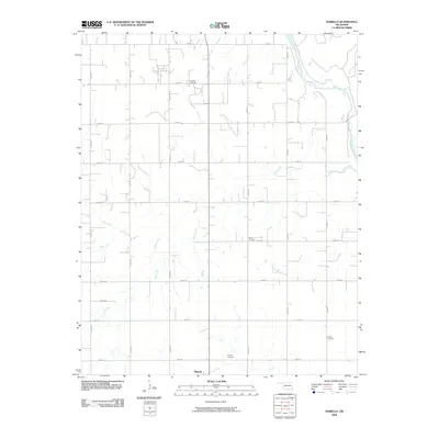 2009 Isabella2009 Print · USGSNorth of Okeene in the early twenty-first century, this landscape shows the intersection of the Cimarron River and a precise rural grid. Genealogists can trace family connections at several local sites, including Isabella Cemetery, Bierig Cemetery, and Collins Cemetery.
 - 2010 Map of Waynoka East, 2010 Print
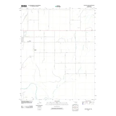 2010 Waynoka East2010 Print · USGSWoods County agriculture and the eastern outskirts of Waynoka are captured here during the first decade of the millennium. Researchers can trace land holdings near the Cimarron River or locate family sites by the Waynoka Municipal Cemetery.
 - 2010 Map of Phroso, 2010 Print
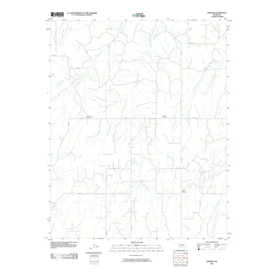 2010 Phroso2010 Print · USGSMajor County at the beginning of the twenty-first century reveals a deeply organized agricultural landscape defined by its section roads and creek branches. Genealogists can locate family sites at Mount Zion Cemetery, Antioch Cemetery, and Golden Lodge Cemetery.
 - 2010 Map of Togo, 2010 Print
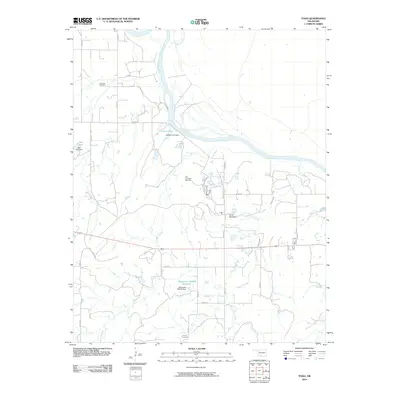 2010 Togo2010 Print · USGSMajor County, Oklahoma, is shown in the early twenty-first century as a landscape of energy production and quiet rural roads. Genealogists and local historians can locate family landmarks such as Lone Star Cemetery, Connor Cemetery, and the East Campbell Gas Field.
 - 2010 Map of Cedardale, 2010 Print
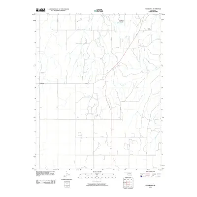 2010 Cedardale2010 Print · USGSCedardale and its surrounding Woodward County ranchlands are captured here in the early twenty-first century. Family history researchers can locate the Cedardale Cemetery and Liberty Cemetery, or trace the winding paths of Griever Creek and Gyp Creek.
 - 2010 Map of Orion, 2010 Print
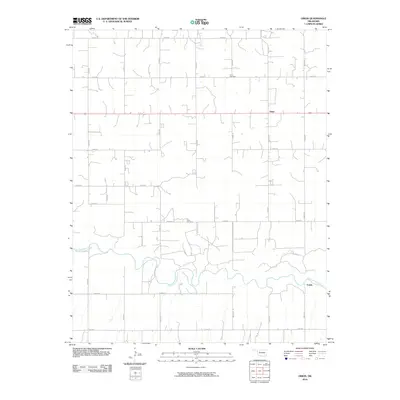 2010 Orion2010 Print · USGSDewey County’s rural agricultural character is well preserved here in the first decade of the new millennium. Genealogists and local historians can locate family landmarks like Orion Cemetery and Hope Cemetery or trace the winding banks of the North Canadian River.
 - 2010 Map of Waynoka West, 2010 Print
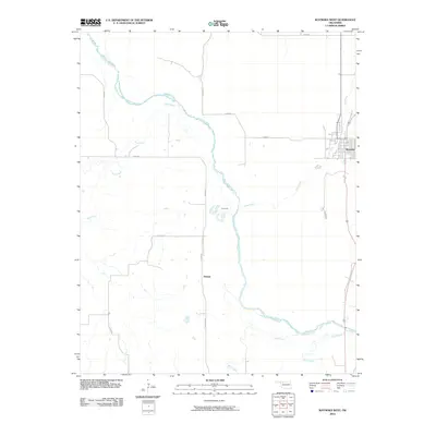 2010 Waynoka West2010 Print · USGSWoods County in the early twenty-first century reveals a landscape shaped by the Cimarron River and its rural road network. Genealogists and researchers can trace the vicinity of Waynoka, the settlement of Heman, and the banks of Dog Creek.
 - 2010 Map of Longdale, 2010 Print
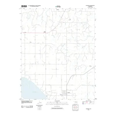 2010 Longdale2010 Print · USGSBlaine County's rural northern landscape is captured here in the early twenty-first century as it centers on the community of Longdale. Researchers can trace local burial sites at Longdale Cemetery and Bethel Cemetery or follow the waters of Sand Creek and Canton Lake.
 - 2010 Map of Ringwood SW, 2010 Print
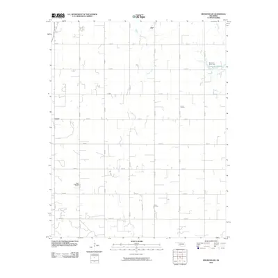 2010 Ringwood SW2010 Print · USGSMajor County at the start of the 2010s shows a classic Oklahoma section-line landscape defined by rural cemeteries and prairie creeks. Genealogists and local historians can locate Glenwood Cemetery, Concord Cemetery, and Decker Field among the grid of local roads.
 - 2010 Map of Homestead, 2010 Print
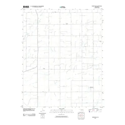 2010 Homestead2010 Print · USGSMajor County at the start of the decade reveals a classic Oklahoma prairie landscape of section-line roads and rural townships. Genealogists and local historians can trace the locations of Homestead, the Mennonite Cemetery, and the Plymouth Cemetery.
 - 2010 Map of Seiling, 2010 Print
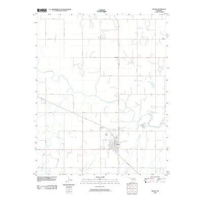 2010 Seiling2010 Print · USGSNorthwest Oklahoma's river valley comes to life in this detailed view of Dewey County from the late 2000s. Genealogists and local historians can locate specific family burial sites at Brumfield Cemetery and Chester Cemetery while tracing the winding path of the North Canadian River.
Showing maps 1-25 of 130
Top cities of Major County
- Fairview historical maps
- Ringwood historical maps
- Cleo Springs historical maps
- Ames historical maps
- Meno historical maps
Frequently asked questions
- What are the different types of historical maps available for Major County?
- What is the oldest map of Major County?
- Where can I purchase historical maps of Major County for my home or office?
- Where can I download high-res historical maps of Major County?
- Are there historical topographic maps available for Major County?
- Is there historical aerial imagery available for Major County?
- Where are historical maps of Major County sourced from?