2020s Maps of Major County, Oklahoma
Explore 26 historic maps of Major County from the 2020s. These maps offer a rare glimpse into what life looked like during the 2020s — showing old roads, neighborhoods, homes, and landmarks that have changed or disappeared over time.
Whether you're researching your family's past, planning a metal detecting trip, or studying how Major County's landscape evolved across the 2020s, these high-resolution maps are a powerful tool for exploring the history of this region.
- Focus on a specific era: All maps on this page are from the 2020s, giving you a focused view of this time period.
- See what’s changed: Compare century-old streets, trails, and buildings to today's modern landscape using overlays and satellite layers.
- Research with precision: Use these maps for genealogy, historical research, land use analysis, or educational projects.
- View, download, or print: Maps are fully viewable online in high resolution, and can be downloaded or printed for your own records.
Start exploring Major County's history through authentic maps from the 2020s. This is your window into the past.
Major County, OK maps
(26)- 2022 Map of Glass Mountains SW, 2022 Print
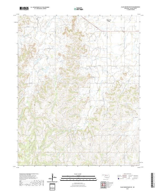 2022 Glass Mountains SW2022 Print · USGSMajor County ranch land is captured in the early 2020s, showing a landscape defined by isolated peaks and rural section lines. Genealogists can locate Lone Star Cem while tracing the waters of Cheyenne Cr and the landmark Tepee Mtn.
 - 2022 Map of Glass Mountains NE, 2022 Print
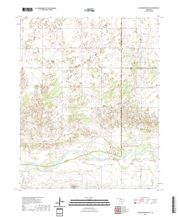 2022 Glass Mountains NE2022 Print · USGSNorthwestern Oklahoma’s rural landscape is captured here in the early 2020s, where the Cimarron River meets the borders of Woods, Alfalfa, and Major counties. Genealogists and researchers can locate Pleasant Ridge Cem and family-named landmarks like Gard Lake and Lone Peak.
 - 2022 Map of Ringwood, 2022 Print
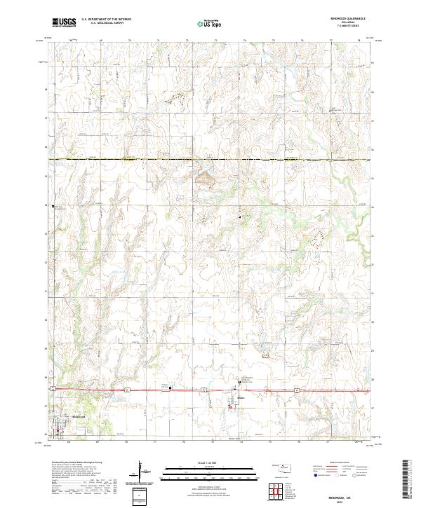 2022 Ringwood2022 Print · USGSMajor County at the start of the 2020s shows a landscape of deep-rooted prairie settlements and family cemeteries. Genealogists can trace local history at Saint Michael Cem, Pleasant Hill Cem, and New Hopedale Mennonite Memorial Cem near the towns of Ringwood and Meno.
 - 2022 Map of Fairview, 2022 Print
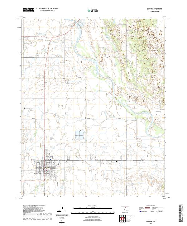 2022 Fairview2022 Print · USGSMajor County, Oklahoma, at the start of the 2020s is centered on the town of Fairview and the winding Cimarron River. Genealogists and local historians can trace family plots at Saron Cem and Rusk Cem or locate the Major County Courthouse.
 - 2022 Map of Lahoma, 2022 Print
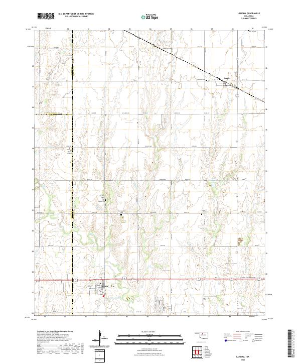 2022 Lahoma2022 Print · USGSGarfield County's agricultural heartland is documented here in the early twenty-first century, centered on the communities of Lahoma and Carrier. Genealogists and local historians can locate several historic burial grounds, such as Rose Hill Cem and Lahoma Cem, alongside the winding course of Turkey Cr.
 - 2022 Map of Glass Mountains NW, 2022 Print
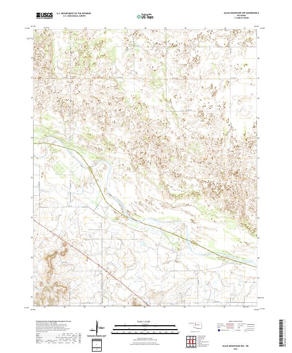 2022 Glass Mountains NW2022 Print · USGSThe border between Woods and Major counties follows the meandering path of the Cimarron River in this recent survey. Local historians and genealogists can pinpoint the exact location of Galena Cem or trace the drainage of Barney Cr and 093004 Reservoir.
 - 2022 Map of Waynoka East, 2022 Print
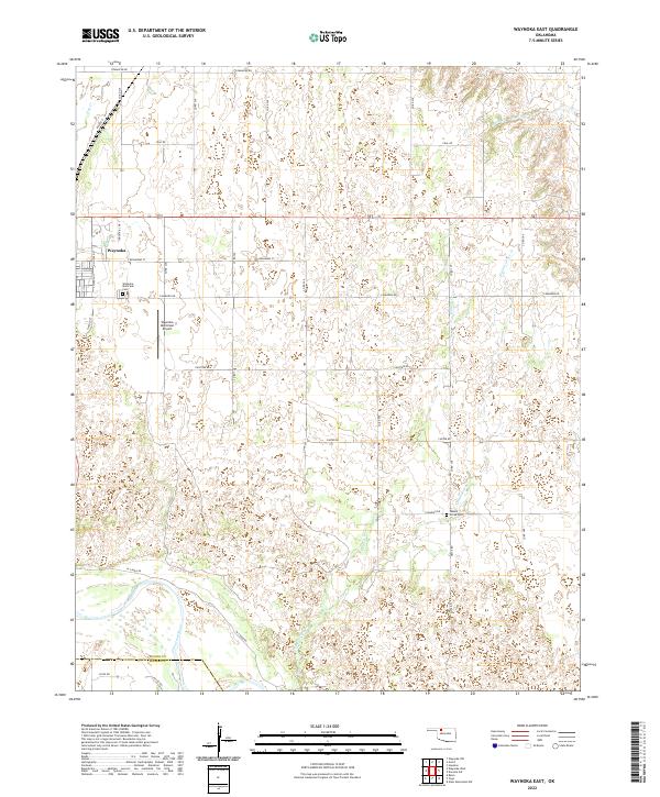 2022 Waynoka East2022 Print · USGSWoods County remains a landscape of section-line roads and river breaks in this recent survey. Researchers can trace local history through sites like the Waynoka Municipal Cem or follow the path of Walnut Grove Cr to the Cimarron River.
 - 2022 Map of Cedardale, 2022 Print
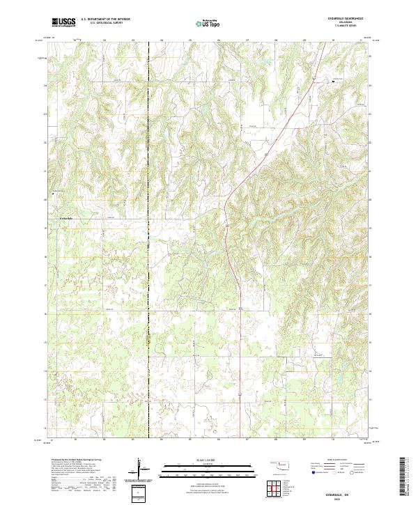 2022 Cedardale2022 Print · USGSWoodward and Major Counties are documented here in the early twenty-first century as the landscape maintains its rural character. Genealogists can locate Cedardale Cemetery and Liberty Cemetery along the drainages of Griever Creek.
 - 2022 Map of Barr, 2022 Print
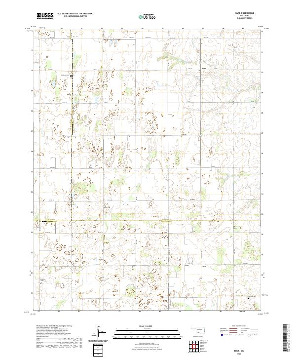 2022 Barr2022 Print · USGSThe tri-county border area of Garfield, Major, and Kingfisher counties is mapped here in the early 2020s. Genealogists can locate family burial sites at Wildwood Cem and Morrison Cem, or trace the small communities of Barr and Cato.
 - 2022 Map of Fairview NE, 2022 Print
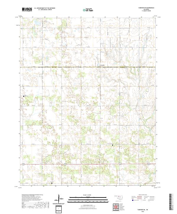 2022 Fairview NE2022 Print · USGSNorthwestern Oklahoma farmland at the Alfalfa and Major County line is preserved here in high detail. Researchers can trace family history through local landmarks like Carwile, Square Cedar Cem, and the path of Indian Cr.
 - 2022 Map of Cleo Springs, 2022 Print
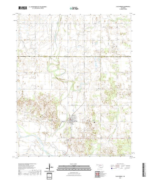 2022 Cleo Springs2022 Print · USGSMajor County and Alfalfa County meet along the plains of North Central Oklahoma during the early twenty-first century. Researchers can trace the town of Cleo Springs, locate the Cleo Springs Cem, and follow the path of Eagle Chief Creek.
 - 2022 Map of Orion, 2022 Print
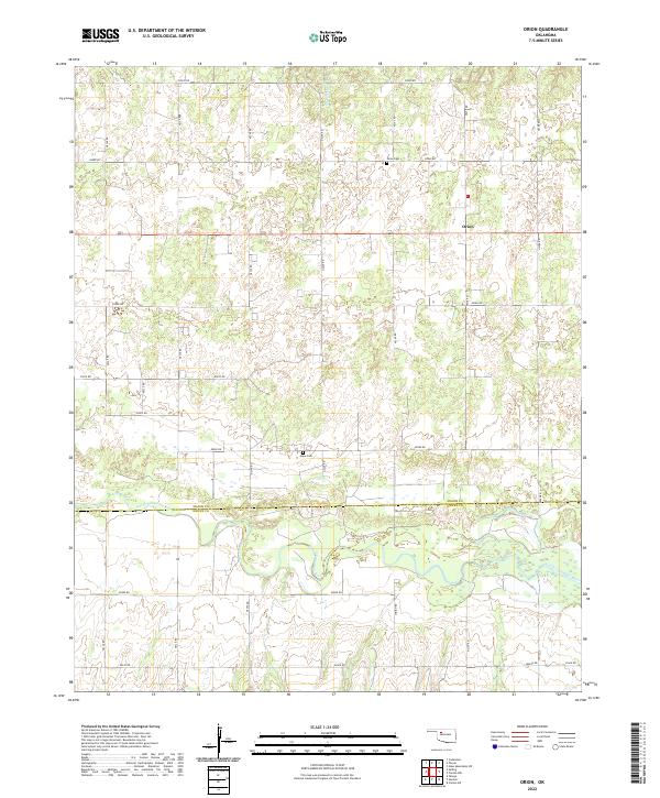 2022 Orion2022 Print · USGSMajor and Dewey Counties are seen here in the early twenty-first century, centered on the rural settlement of Orion. Researchers can locate family sites near the North Canadian River or trace local history at Orion Cem and Hope Cem.
 - 2022 Map of Waynoka West, 2022 Print
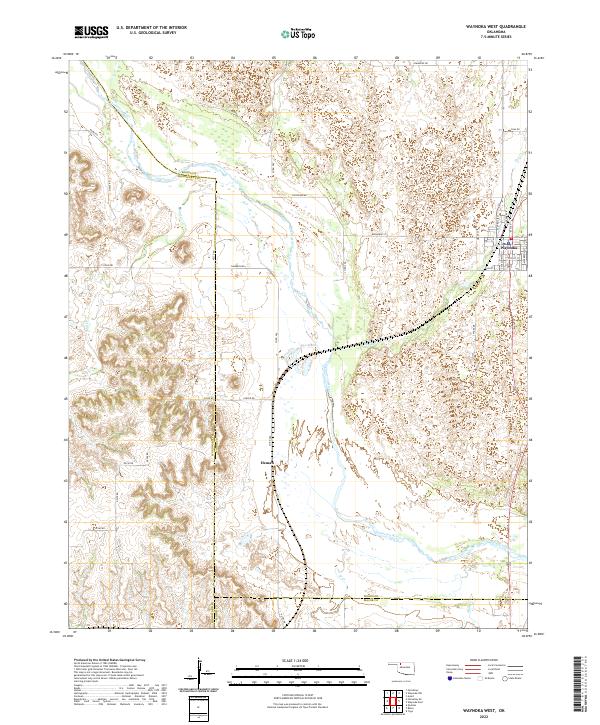 2022 Waynoka West2022 Print · USGSThe Cimarron River valley in the early 2020s remains a landscape of high plains ranching and remote settlements. Researchers can trace the street grid of Waynoka and the river-side location of Heman alongside local landmarks like Dog Cr and Sahara Dr.
 - 2022 Map of Homestead, 2022 Print
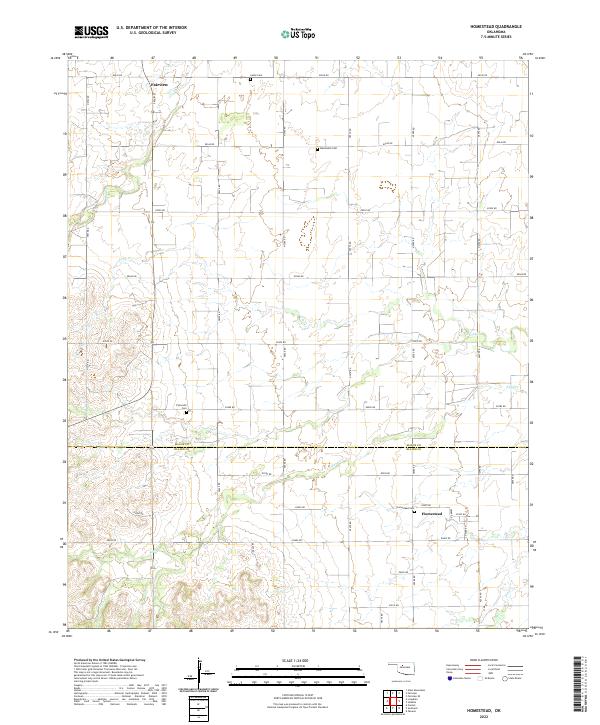 2022 Homestead2022 Print · USGSThe borderlands of Major and Blaine Counties are captured here in the early 2020s, showing a landscape shaped by rural tradition and section-line roads. Genealogists can locate several local burial sites including Mennonite Cemetery, Plymouth Cemetery, and Homestead Cemetery.
 - 2022 Map of Fairview SE, 2022 Print
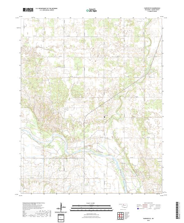 2022 Fairview SE2022 Print · USGSMajor County’s rural river valleys are documented here during the early 2020s, showing the intersection of agriculture and the natural landscape. Genealogists and local historians can locate the Sorge Cem near the confluence of Indian Cr and the Cimarron River.
 - 2022 Map of Togo, 2022 Print
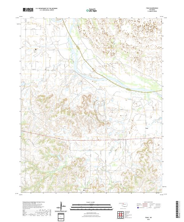 2022 Togo2022 Print · USGSMajor County ranching and river lands are documented here in the early twenty-first century, showing the area near the Woods County line. Genealogists can locate Lone Star Cem and Connor Cem, while researchers can trace the course of the Cimarron River and the settlement of Togo.
 - 2022 Map of Canton NW, 2022 Print
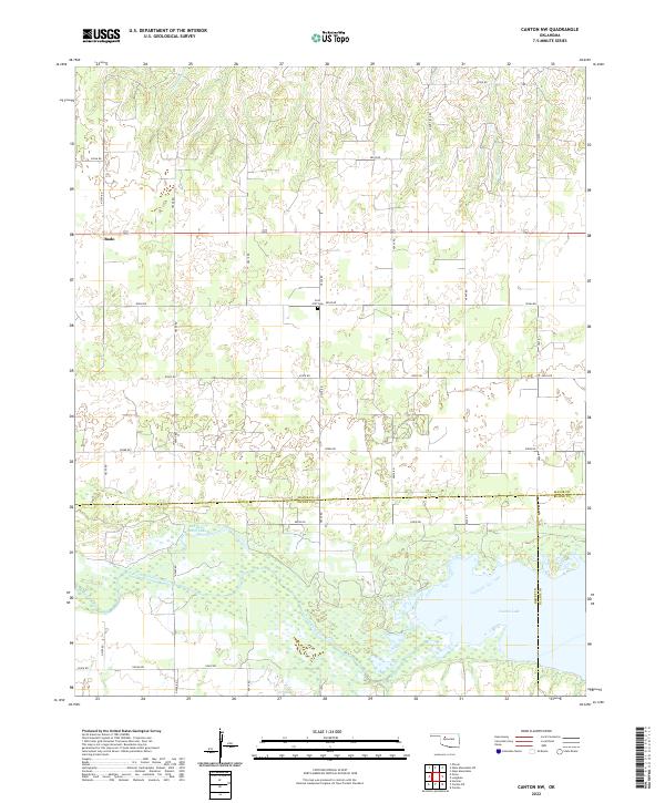 2022 Canton NW2022 Print · USGSNorthwestern Oklahoma's prairie landscape meets the waters of Canton Lake and the North Canadian River in this detailed survey. Researchers can locate the Fern Cliff Cem and the rural community of Bado tucked among the section roads.
 - 2022 Map of Isabella, 2022 Print
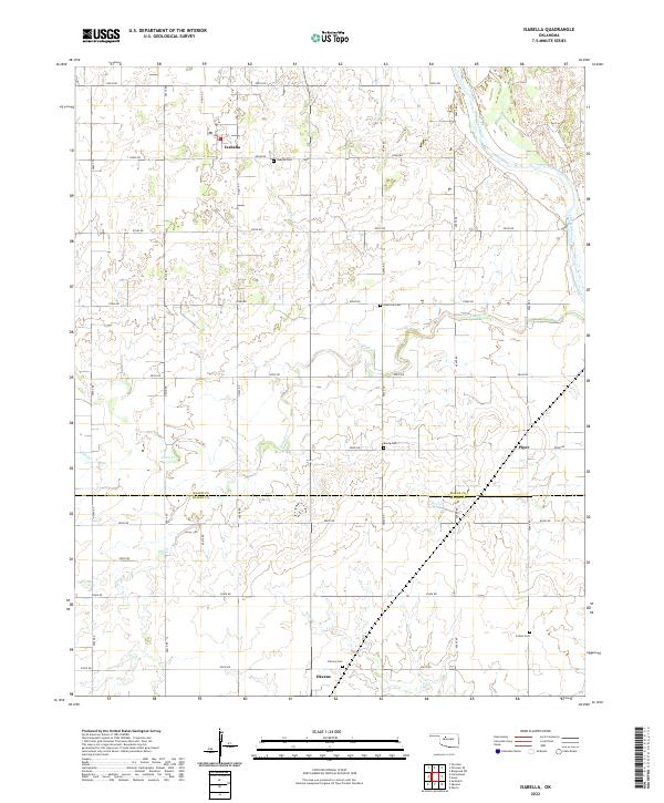 2022 Isabella2022 Print · USGSThe prairie landscape of Major and Blaine Counties comes into focus through this survey of the Isabella and Okeene area. Researchers can trace rural lineages through several local burial sites, including Isabella Cemetery, Bierig Cemetery, and Collins Cemetery.
 - 2022 Map of Belva, 2022 Print
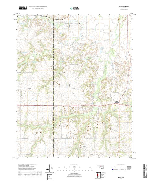 2022 Belva2022 Print · USGSOklahoma's high plains near the Woodward and Major County line come into focus in this contemporary survey of a rural ranching landscape. Genealogists can locate family landmarks like the West Creek Cem or trace rural routes near Bouse Junction and White Law Ranch Rd.
 - 2022 Map of Seiling, 2022 Print
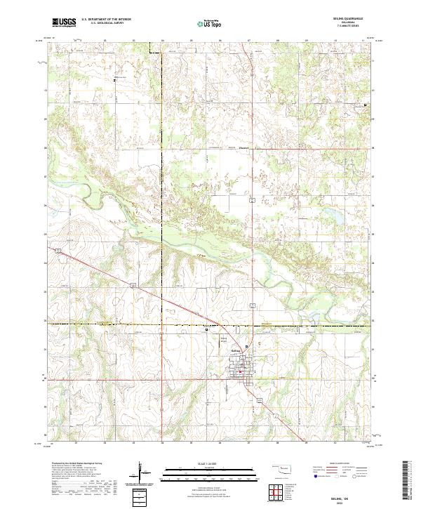 2022 Seiling2022 Print · USGSNorthwestern Oklahoma's ranching landscape is captured here in the early twenty-first century as the plains meet the North Canadian River. Genealogists and historians can locate rural burial sites like Brumfield Cem and Elm Grove Cem, or trace the small settlement of Chester.
 - 2022 Map of Ringwood SW, 2022 Print
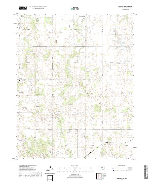 2022 Ringwood SW2022 Print · USGSMajor County's prairie landscape is captured in this modern survey, showing the agricultural and oil-producing heartland between Ringwood and Ames. Local researchers can trace family landmarks like Era Cem, Glenwood Cem, and the specialized oil activity at Decker Field.
 - 2022 Map of Phroso, 2022 Print
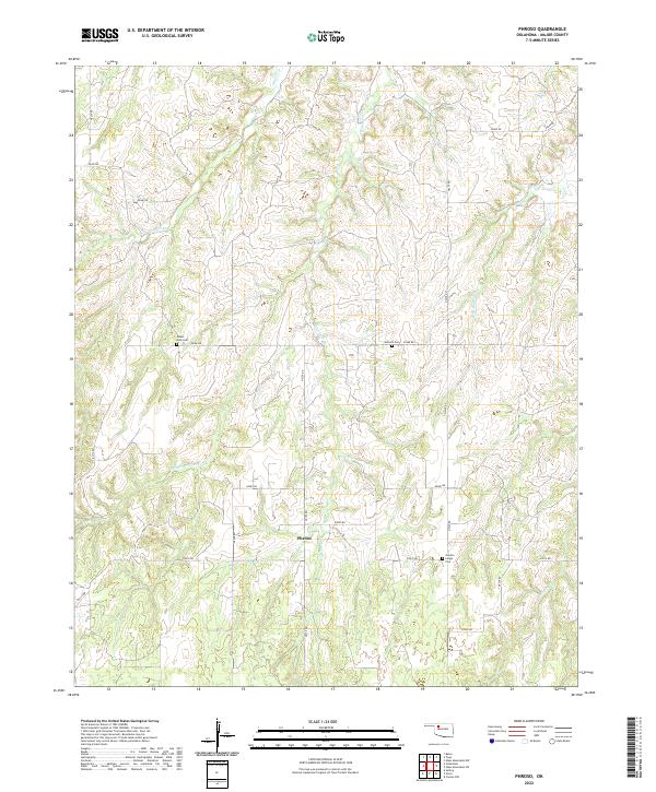 2022 Phroso2022 Print · USGSMajor County, Oklahoma, maintains its rural character in this recent survey of the prairie landscape. Genealogists can locate several family landmarks and burial sites including Mount Zion Cem, Golden Lodge Cem, and the quiet hub at Phroso.
 - 2022 Map of Glass Mountains, 2022 Print
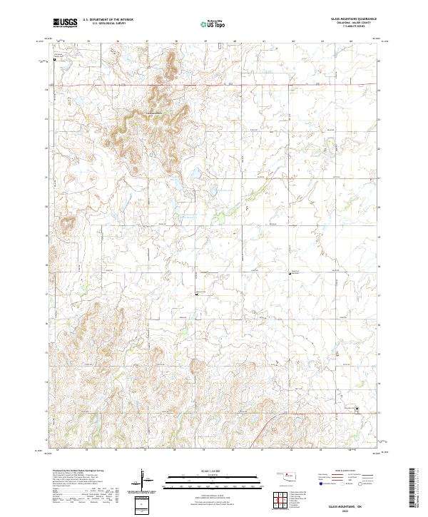 2022 Glass Mountains2022 Print · USGSMajor County, Oklahoma, is documented here in the early twenty-first century, showing a landscape of mesas and rural grid roads. Genealogists can locate several local burial sites, including Roscoe Cem and Fairview Cem, near the distinct Glass Mountains.
 - 2022 Map of Drummond, 2022 Print
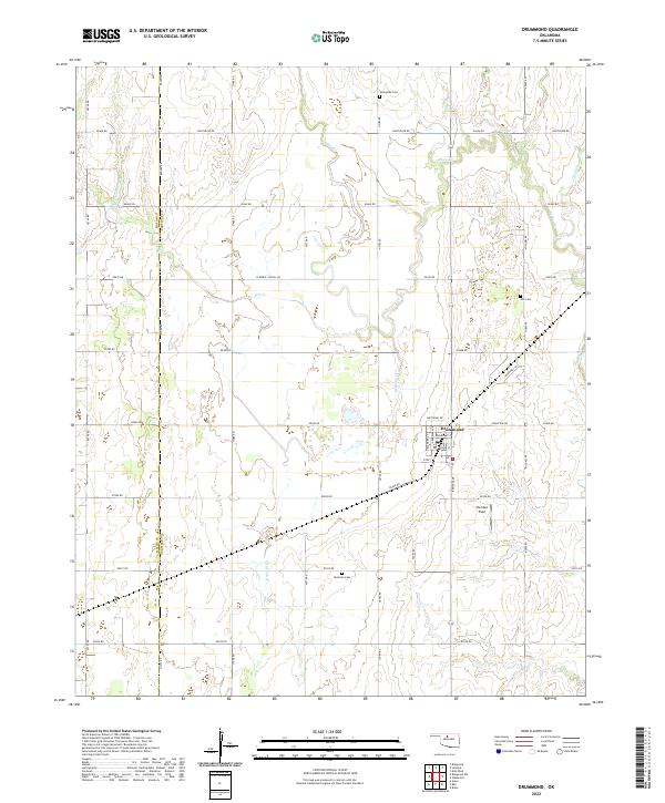 2022 Drummond2022 Print · USGSThe northern Oklahoma plains around Drummond are captured here in the early twenty-first century, showing the enduring grid of prairie section lines. Genealogists and local historians can locate several rural burial grounds, including Sunnyside Cem and Delnorte Cem, alongside landmarks like Sheriden Field.
 - 2022 Map of Ames, 2022 Print
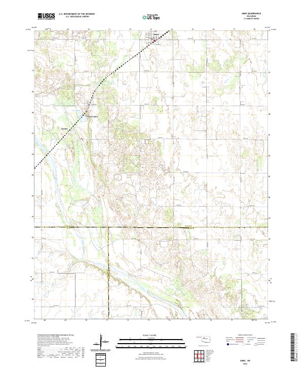 2022 Ames2022 Print · USGSMajor County at the start of the 2020s shows a landscape of steady agriculture and river-fronted settlements. Genealogists can trace property lines near Ames or locate family sites around Crystal Lakes and the Cimarron River.
Showing maps 1-25 of 26
Top cities of Major County
- Fairview historical maps
- Ringwood historical maps
- Cleo Springs historical maps
- Ames historical maps
- Meno historical maps
Frequently asked questions
- What are the different types of historical maps available for Major County?
- What is the oldest map of Major County?
- Where can I purchase historical maps of Major County for my home or office?
- Where can I download high-res historical maps of Major County?
- Are there historical topographic maps available for Major County?
- Is there historical aerial imagery available for Major County?
- Where are historical maps of Major County sourced from?