Old Maps of Muskogee, Oklahoma for Academic Research
Study the evolution of Muskogee with 38 high-resolution historic maps. Whether you're teaching, researching, or modeling changes in land use, these maps provide essential visual documentation of urban, environmental, and geographic change.
- Analyze long-term change: Track patterns in development, transportation, and natural features.
- Ideal for environmental or urban studies: Support academic projects with primary historical map data.
- Use in the classroom or lab: Educators and researchers rely on these maps to bring historical context to life.
These maps are a powerful tool for teaching, research, and visualizing how Muskogee has changed over the decades.
Muskogee, OK maps
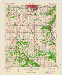
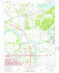
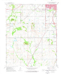
(38)- 1901 Map of Muscogee
 1901 Muscogee1901 Print · USGSIndian Territory at the turn of the century shows a landscape shaped by river commerce and the coming of the railroads. Genealogists can trace family roots through early settlements like Tullahassee and Webbers Falls, or locate historic river crossings such as Whisky Ford.6 unique versions available
 - 1905 Map of Muscogee
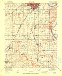
 1905 Muscogee1905 Print · USGSIndian Territory at the turn of the century shows a landscape transitioning from tribal nations to a rail-centered economy. Researchers can trace ancestral river crossings and early settlements like Fort Gibson, Tenkillers Ferry, and Gibson Sta.
 - 1946 Map of Fort Smith
 1946 Fort Smith1946 Print · USGSThe Arkansas-Oklahoma borderlands appear here in the mid-forties, as new reservoirs began to transform the river valleys. Genealogists and historians can trace rail-served towns from Muskogee to Fort Smith and locate landmarks like Camp Chaffee.
 - 1948 Map of Keefeton, 1963 Print
 1948 Keefeton1963 Print · USGSMuskogee County in the late 1940s is a hub of overlapping rail lines and small rural communities just before the major shifts of the postwar era. Researchers can trace the heritage of local settlements like Rentiesville and Summit or locate family burial sites at Brushy Mtn Cem and McLain Cem.2 unique versions available
 - 1948 Map of Wagoner, 1967 Print
 1948 Wagoner1967 Print · USGSThe river-confluence region of eastern Oklahoma is seen here just after the war, as the Fort Gibson Reservoir begins to take shape. Researchers can trace numerous rural landmarks like the Mulrow Ind Orphans Home, Tullahassee, and Blue Mound Cem.
 - 1950 Map of Keefeton
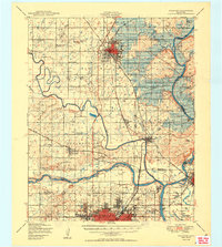
 1950 Keefeton1950 Print · USGSMuskogee County in the late nineteen-forties shows a landscape of busy rail corridors and established rural townships just after the war. Researchers can trace historic homesteads and community hubs through landmarks like Rentiesville, the Plainview Cem, and Hatbox Field.2 unique versions available
 - 1950 Map of Wagoner
 1950 Wagoner1950 Print · USGSMid-century eastern Oklahoma is captured here as the Fort Gibson Reservoir project begins to reshape the river valleys. Genealogists and local historians can trace rural school districts and family landmarks from Tullahassee to the Murrow Ind Orphans Home.2 unique versions available
 - 1965 Map of Fort Smith
 1965 Fort Smith1965 Print · USGSEastern Oklahoma and Western Arkansas are captured here during a period of massive post-war change as new reservoirs reshaped the river valleys. Genealogists and historians can trace the rail networks of the Midland Valley RR and find established communities like Stilwell, Sallisaw, and Stigler.
 - 1967 Map of Fort Smith
 1967 Fort Smith1967 Print · USGSThe Arkansas River valley and the foothills of the Ozarks are captured here during a period of significant military and industrial activity. Researchers can trace the sprawling bounds of Camp Chaffee and Camp Gruber or locate vanished rail stops along the Midland Valley RR.
 - 1972 Map of Keefeton NE, 1974 Print
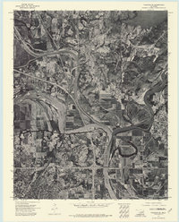
 1972 Keefeton NE1974 Print · USGSMuskogee and the surrounding river valley are captured in this early 1970s aerial survey, revealing the regional landscape just after the reservoir was established. Researchers can trace the layout of Davis Field and the rugged terrain of Brushy Mountain near the Arkansas River.
 - 1972 Map of Wagoner SE, 1974 Print
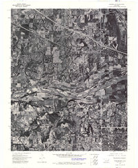
 1972 Wagoner SE1974 Print · USGSMuskogee and the Three Forks river convergence are captured in high detail in the early 1970s. Trace the winding paths of the Verdigris River, Neosho River, and Arkansas River alongside the streets of Muskogee and Fort Gibson.
 - 1972 Map of Wagoner SW, 1974 Print
 1972 Wagoner SW1974 Print · USGSThe river bottomlands of eastern Oklahoma are revealed in this early 1970s aerial survey. Genealogists and local historians can trace the rural layouts of Tullahassee and the outskirts of Muskogee along the banks of the Arkansas River.
 - 1974 Map of Southeast Muskogee, 1978 Print
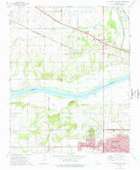
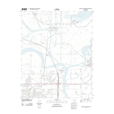
 1974 Southeast Muskogee1978 Print · USGSMuskogee was expanding into the surrounding county during the mid-seventies, bridging the gap between urban centers and rural townships. Researchers can trace local development near Davis Field or locate historic neighborhoods like Grandview Heights and Agency.
 - 1974 Map of Northwest Muskogee, 1978 Print
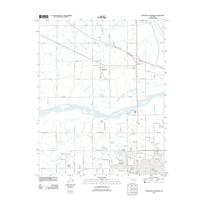
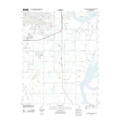
 1974 Northwest Muskogee1978 Print · USGSThe Muskogee and Tullahassee riverfronts are captured here in the mid-1970s as the region transitioned through new highway development. Researchers can trace family sites at Jacob Morey Cem and Peters Chapel or locate historical landmarks like the Veterans Hospital and Agency Hill.
 - 1974 Map of Northeast Muskogee, 1978 Print
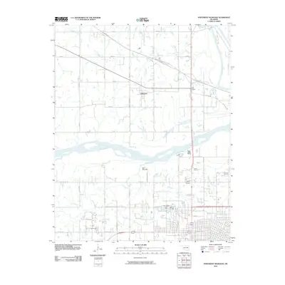
 1974 Northeast Muskogee1978 Print · USGSThe river confluence and rail junction at Muskogee are captured here in the mid-seventies, showing a landscape of growing industry and historic institutions. Researchers can trace family roots through Green Hill Cemetery or locate old landmarks like Bacone College and the Port of Muskogee.
 - 1974 Map of Southwest Muskogee, 1978 Print
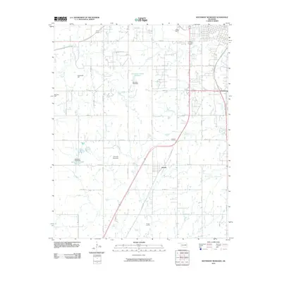
 1974 Southwest Muskogee1978 Print · USGSMuskogee’s southwestern outskirts in the mid-seventies reveal a landscape shaped by treaty lines and heavy rail commerce. Genealogists and historians can trace family locations near Plainview Cem or Minegan Cem and locate landmarks like Hatbox Field and the OIL FIELD.
 - 1978 Map of Muskogee, 1979 Print
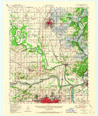
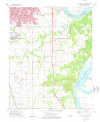
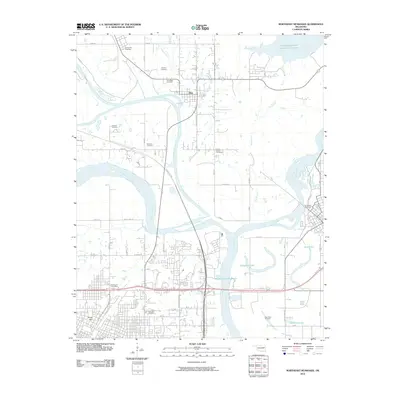
 1978 Muskogee1979 Print · USGSThe confluence of the Arkansas, Verdigris, and Neosho Rivers defines the Muskogee region in the late seventies. Genealogists and historians can trace the footprints of Camp Gruber (Abandoned), the campus of Bacone College, and early aviation at Hatbox Field.
 - 1978 Map of Fort Smith, 1979 Print
 1978 Fort Smith1979 Print · USGSThe Arkansas-Oklahoma borderlands in the late seventies show a landscape shaped by massive river reservoirs and sprawling military reservations. Trace the historic rail lines of the Missouri Pacific RR and locate regional landmarks like Fort Gibson, Tenkiller Ferry Lake, and Barling.2 unique versions available
 - 2010 Map of Southeast Muskogee, 2010 Print
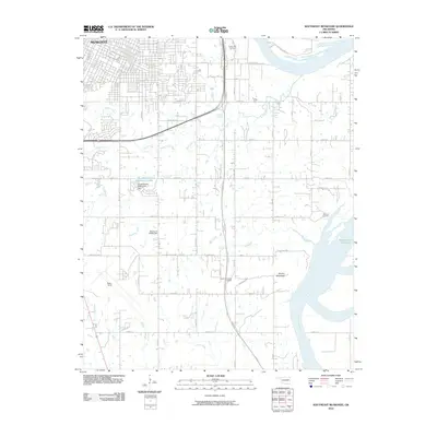 2010 Southeast Muskogee2010 Print · USGSCovers Muskogee, including Shopton, Grandview Heights, and other nearby areas
 - 2010 Map of Northeast Muskogee, 2010 Print
 2010 Northeast Muskogee2010 Print · USGSCovers Muskogee, including Okay, Gibson, and other nearby areas
 - 2010 Map of Northwest Muskogee, 2010 Print
 2010 Northwest Muskogee2010 Print · USGSCovers Muskogee, including Tullahassee, Anchor, and other nearby areas
 - 2010 Map of Southwest Muskogee, 2010 Print
 2010 Southwest Muskogee2010 Print · USGSCovers Muskogee, including Summit, Crekola, and other nearby areas
 - 2012 Map of Northwest Muskogee, 2012 Print
 2012 Northwest Muskogee2012 Print · USGSCovers Muskogee, including Tullahassee, Anchor, and other nearby areas
 - 2012 Map of Northeast Muskogee, 2012 Print
 2012 Northeast Muskogee2012 Print · USGSCovers Muskogee, including Okay, Gibson, and other nearby areas
 - 2012 Map of Southeast Muskogee, 2012 Print
 2012 Southeast Muskogee2012 Print · USGSCovers Muskogee, including Shopton, Grandview Heights, and other nearby areas
Showing maps 1-25 of 38
Top cities near Muskogee
- Coweta historical maps
- Wagoner historical maps
- Checotah historical maps
- Warner historical maps
- Webbers Falls historical maps
- Okay historical maps
See more
Top neighborhoods of Muskogee
- Shopton historical maps
- West Muskogee historical maps
- Grandview Heights historical maps
- Bacone historical maps
- Hyde Park historical maps
Frequently asked questions
- What are the different types of historical maps available for Muskogee?
- What is the oldest map of Muskogee?
- Where can I purchase historical maps of Muskogee for my home or office?
- Where can I download high-res historical maps of Muskogee?
- Are there historical topographic maps available for Muskogee?
- Is there historical aerial imagery available for Muskogee?
- Where are historical maps of Muskogee sourced from?