2000s (21st Century) Maps of Muskogee, Oklahoma
Explore 20 historic maps of Muskogee from the 2000s (21st Century). These maps offer a rare glimpse into what life looked like during the 2000s — showing old roads, neighborhoods, homes, and landmarks that have changed or disappeared over time.
Whether you're researching your family's past, planning a metal detecting trip, or studying how Muskogee's landscape evolved across the 2000s, these high-resolution maps are a powerful tool for exploring the history of this region.
- Focus on a specific era: All maps on this page are from the 2000s, giving you a focused view of this time period.
- See what’s changed: Compare century-old streets, trails, and buildings to today's modern landscape using overlays and satellite layers.
- Research with precision: Use these maps for genealogy, historical research, land use analysis, or educational projects.
- View, download, or print: Maps are fully viewable online in high resolution, and can be downloaded or printed for your own records.
Start exploring Muskogee's history through authentic maps from the 2000s. This is your window into the past.
Muskogee, OK maps
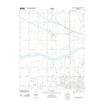
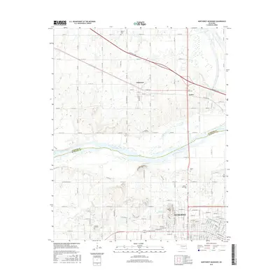
(20)- 2010 Map of Southeast Muskogee, 2010 Print
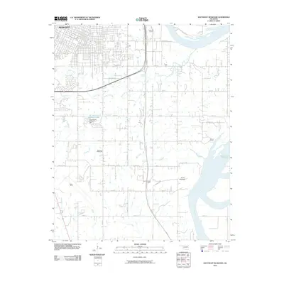 2010 Southeast Muskogee2010 Print · USGSCovers Muskogee, including Shopton, Grandview Heights, and other nearby areas
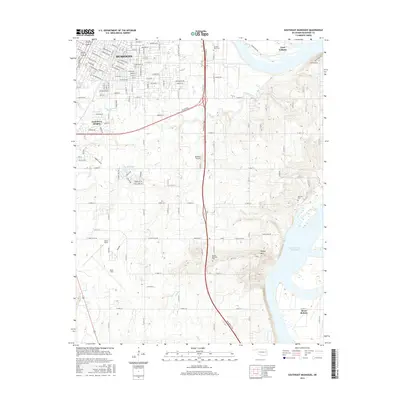
 - 2010 Map of Northeast Muskogee, 2010 Print
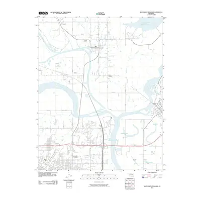 2010 Northeast Muskogee2010 Print · USGSCovers Muskogee, including Okay, Gibson, and other nearby areas
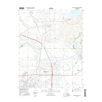
 - 2010 Map of Northwest Muskogee, 2010 Print
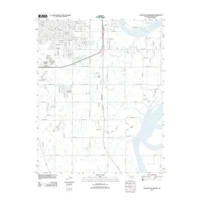
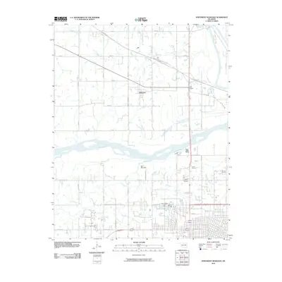 2010 Northwest Muskogee2010 Print · USGSCovers Muskogee, including Tullahassee, Anchor, and other nearby areas
 - 2010 Map of Southwest Muskogee, 2010 Print
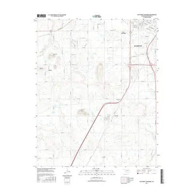
 2010 Southwest Muskogee2010 Print · USGSCovers Muskogee, including Summit, Crekola, and other nearby areas
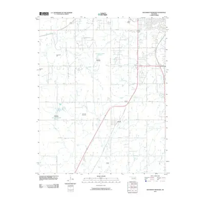
 - 2012 Map of Northwest Muskogee, 2012 Print
 2012 Northwest Muskogee2012 Print · USGSCovers Muskogee, including Tullahassee, Anchor, and other nearby areas
 - 2012 Map of Northeast Muskogee, 2012 Print
 2012 Northeast Muskogee2012 Print · USGSCovers Muskogee, including Okay, Gibson, and other nearby areas
 - 2012 Map of Southeast Muskogee, 2012 Print
 2012 Southeast Muskogee2012 Print · USGSCovers Muskogee, including Shopton, Grandview Heights, and other nearby areas
 - 2012 Map of Southwest Muskogee, 2012 Print
 2012 Southwest Muskogee2012 Print · USGSCovers Muskogee, including Summit, Crekola, and other nearby areas
 - 2016 Map of Southwest Muskogee, 2016 Print
 2016 Southwest Muskogee2016 Print · USGSCovers Muskogee, including Summit, Crekola, and other nearby areas
 - 2016 Map of Northwest Muskogee, 2016 Print
 2016 Northwest Muskogee2016 Print · USGSCovers Muskogee, including Tullahassee, Anchor, and other nearby areas
 - 2016 Map of Southeast Muskogee, 2016 Print
 2016 Southeast Muskogee2016 Print · USGSCovers Muskogee, including Shopton, Grandview Heights, and other nearby areas
 - 2016 Map of Northeast Muskogee, 2016 Print
 2016 Northeast Muskogee2016 Print · USGSCovers Muskogee, including Okay, Gibson, and other nearby areas
 - 2018 Map of Southwest Muskogee, 2018 Print
 2018 Southwest Muskogee2018 Print · USGSCovers Muskogee, including Summit, Crekola, and other nearby areas
 - 2018 Map of Southeast Muskogee, 2018 Print
 2018 Southeast Muskogee2018 Print · USGSCovers Muskogee, including Shopton, Grandview Heights, and other nearby areas
 - 2018 Map of Northeast Muskogee, 2018 Print
 2018 Northeast Muskogee2018 Print · USGSCovers Muskogee, including Okay, Gibson, and other nearby areas
 - 2019 Map of Northwest Muskogee, 2019 Print
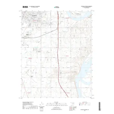
 2019 Northwest Muskogee2019 Print · USGSCovers Muskogee, including Tullahassee, Anchor, and other nearby areas
 - 2022 Map of Southeast Muskogee, 2022 Print
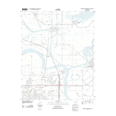
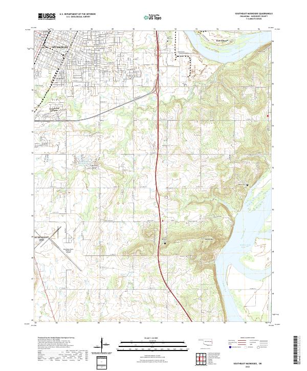 2022 Southeast Muskogee2022 Print · USGSMuskogee County in the early 2020s shows a landscape where aviation and river commerce meet the rising slopes of Brushy Mountain. Researchers can trace the modern boundaries of Muskogee alongside historic sites like Frozen Rock Cem and Fort Gibson.
 - 2022 Map of Southwest Muskogee, 2022 Print
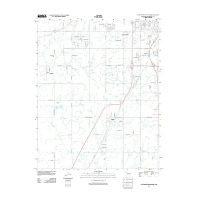
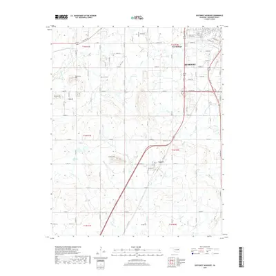
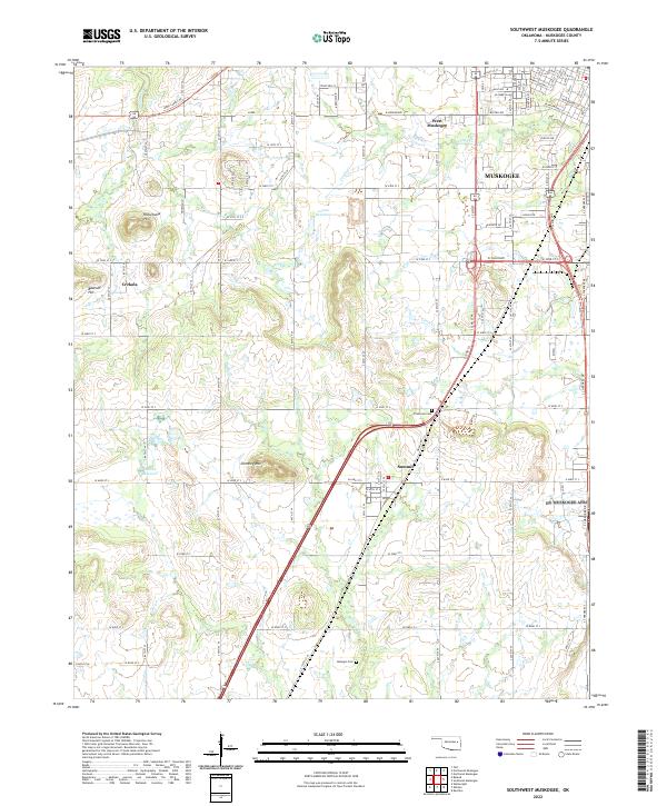 2022 Southwest Muskogee2022 Print · USGSMuskogee and its southwestern hinterlands appear here during a period of modern expansion into the surrounding hills. Genealogists and local historians can trace the outskirts of Muskogee toward rural landmarks like Plainview Cem, Chimney Mtn, and the community of Summit.
 - 2022 Map of Northeast Muskogee, 2022 Print
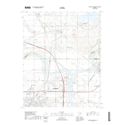
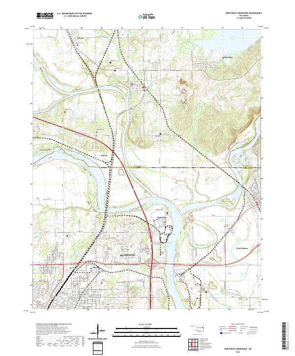 2022 Northeast Muskogee2022 Print · USGSMuskogee and its surrounding river valleys are captured here in the early twenty-first century as a hub of education and water-bound geography. Genealogists can trace family-named sites like Clingan Cem and Evergreen Cem or the grounds of Bacone College.
 - 2022 Map of Northwest Muskogee, 2022 Print
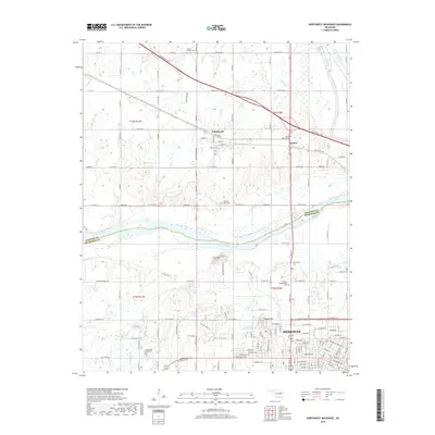
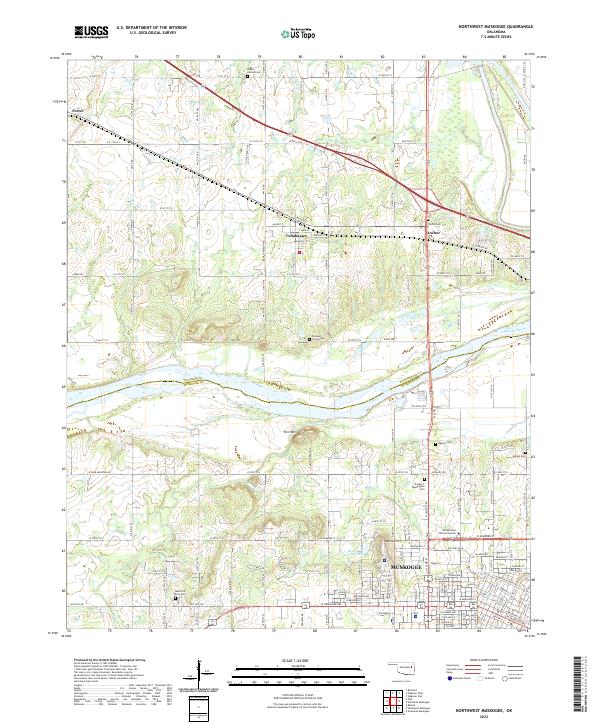 2022 Northwest Muskogee2022 Print · USGSThe river valleys of eastern Oklahoma meet here in the early 2020s, showing the residential and educational growth of the area. Researchers can identify numerous burial sites such as Wyche Cem and Booker T Washington Cem near Tullahassee.
End of results
Showing maps 1-20 of 20
Top cities near Muskogee
- Coweta historical maps
- Wagoner historical maps
- Checotah historical maps
- Warner historical maps
- Webbers Falls historical maps
- Okay historical maps
See more
Top neighborhoods of Muskogee
- Shopton historical maps
- West Muskogee historical maps
- Grandview Heights historical maps
- Bacone historical maps
- Hyde Park historical maps
Frequently asked questions
- What are the different types of historical maps available for Muskogee?
- What is the oldest map of Muskogee?
- Where can I purchase historical maps of Muskogee for my home or office?
- Where can I download high-res historical maps of Muskogee?
- Are there historical topographic maps available for Muskogee?
- Is there historical aerial imagery available for Muskogee?
- Where are historical maps of Muskogee sourced from?