2010s Maps of Pittsburg County, Oklahoma
Explore 136 historic maps of Pittsburg County from the 2010s. These maps offer a rare glimpse into what life looked like during the 2010s — showing old roads, neighborhoods, homes, and landmarks that have changed or disappeared over time.
Whether you're researching your family's past, planning a metal detecting trip, or studying how Pittsburg County's landscape evolved across the 2010s, these high-resolution maps are a powerful tool for exploring the history of this region.
- Focus on a specific era: All maps on this page are from the 2010s, giving you a focused view of this time period.
- See what’s changed: Compare century-old streets, trails, and buildings to today's modern landscape using overlays and satellite layers.
- Research with precision: Use these maps for genealogy, historical research, land use analysis, or educational projects.
- View, download, or print: Maps are fully viewable online in high resolution, and can be downloaded or printed for your own records.
Start exploring Pittsburg County's history through authentic maps from the 2010s. This is your window into the past.
Pittsburg County, OK maps
(136)- 2010 Map of Ti, 2010 Print
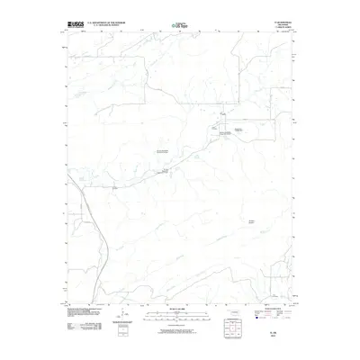 2010 Ti2010 Print · USGSThe Ti Valley region of Oklahoma is captured here in the early twenty-first century, showing a landscape shaped by local water management and cattle ranching. Genealogists can locate family sites at Pine Top Cemetery or Lewis Cemetery, while tracing the course of Hogeye Creek.
 - 2010 Map of Pittsburg, 2010 Print
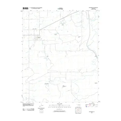 2010 Pittsburg2010 Print · USGSThe community of Pittsburg and its surrounding rural sections are captured here in the early twenty-first century. Researchers can trace local family history at Calvary Cemetery and Pleasant Valley Cemetery or follow the path of the Indian Nation Tpke.
 - 2010 Map of Savanna, 2010 Print
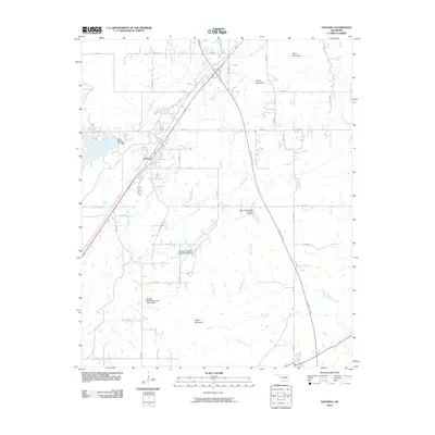 2010 Savanna2010 Print · USGSThe town of Savanna and its surrounding highlands are captured in the early twenty-first century as the local road network expanded around the Indian Nation Tpke. Researchers can trace water management sites like Brown Lake Dam and the series of dams along Peaceable Creek.
 - 2010 Map of McAlester, 2010 Print
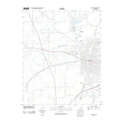 2010 McAlester2010 Print · USGSMcAlester at the end of the 2000s shows a dense urban grid surrounded by institutional sites and rural cemeteries. Genealogists can locate specific burial grounds like Tannehill Cemetery and Haile Cemetery, or trace the development of settlements like Tandy Town.
 - 2010 Map of Limestone Gap, 2010 Print
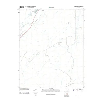 2010 Limestone Gap2010 Print · USGSOklahoma's Choctaw Nation backcountry is documented here during the late 2000s, centered on the strategic pass at Gap. Genealogists and hunters can trace the winding paths of McGee Creek and Breadtown Creek or locate remote rural properties along Wesley Rd.
 - 2010 Map of Wardville, 2010 Print
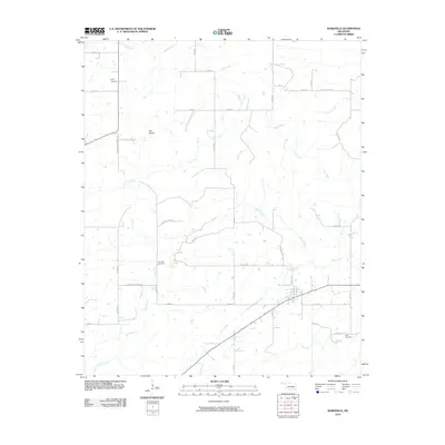 2010 Wardville2010 Print · USGSAtoka County's rural landscape is captured here in the early 2000s, showing a region defined by its creek valleys and section-line roads. Researchers can pinpoint several family burial sites including Lone Star Cemetery, King Cemetery, and the Kelly Cemetery.
 - 2010 Map of Crowder, 2010 Print
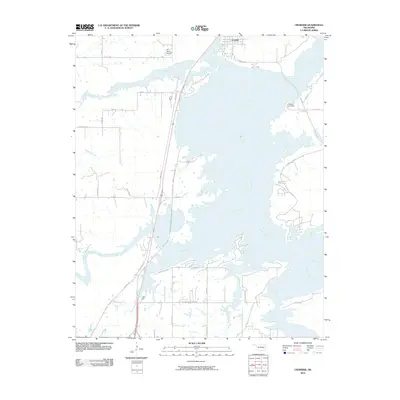 2010 Crowder2010 Print · USGSCrowder and the surrounding Pittsburg County shoreline appear here in the early twenty-first century as a complex landscape of winding peninsulas and rural inlets. Genealogists and local historians can trace family locations along Bug Tussel Rd, find Massey Cemetery, or locate the WC Ranch Stolport.
 - 2010 Map of Wetumka SE, 2010 Print
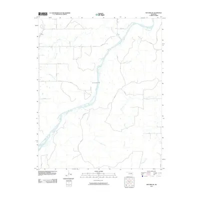 2010 Wetumka SE2010 Print · USGSThe rural landscape of Hughes County is shown here in the early twenty-first century, centered on the winding Canadian River. Genealogists and local historians can locate the Lamar Cemetery or trace the waterlines of Scipio Creek and the Perry S Burleson Dam.
 - 2010 Map of Blocker, 2010 Print
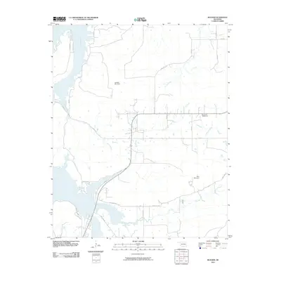 2010 Blocker2010 Print · USGSSoutheastern Oklahoma’s creek-cut ridges and rural corridors are preserved here during the transition to more modern digital cartography. Genealogists and local historians can trace the paths of Sherrill's Rd and Bash Creek Rd or locate the Oknoname 145002 Dam.
 - 2010 Map of Featherston, 2010 Print
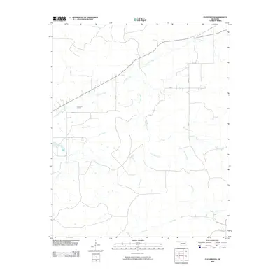 2010 Featherston2010 Print · USGSEastern Oklahoma's rural landscape is mapped here in the early twenty-first century, showing the quiet pastoral character of Pittsburg County. Genealogists and local historians can locate the Featherston Cemetery and trace the paths of Sans Bois Creek and Jones Creek.
 - 2010 Map of Texanna, 2010 Print
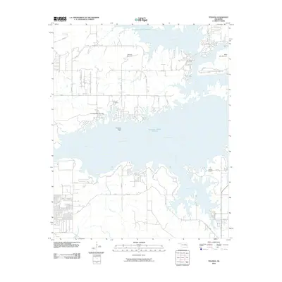 2010 Texanna2010 Print · USGSThe McIntosh County shoreline and the expansive waters of the Canadian River appear here in the early twenty-first century. Researchers can trace rural cemetery locations like Triplett Cemetery and Brooken Cemetery or explore the rugged topography of Texanna Mountain.
 - 2010 Map of Quinton North, 2010 Print
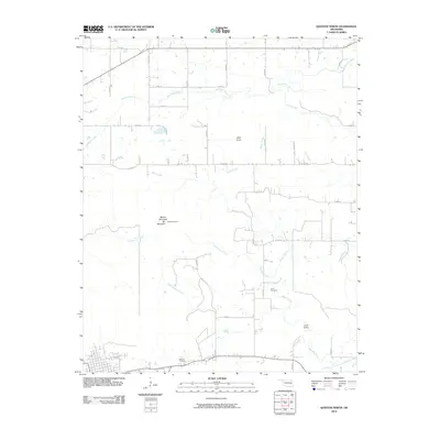 2010 Quinton North2010 Print · USGSQuinton and the surrounding Oklahoma countryside are captured here in the early twenty-first century. Researchers can trace family history through Lona Cemetery or explore the terrain surrounding Beaver Mountain and Lona Valley.
 - 2010 Map of Enterprise, 2010 Print
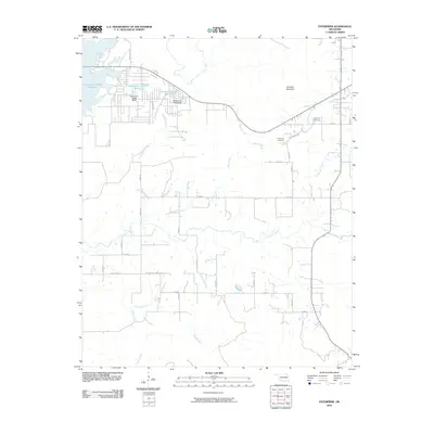 2010 Enterprise2010 Print · USGSEastern Oklahoma's rural landscape is captured here in the early twenty-first century, featuring the hills around Brooken Mountain. Researchers can locate the Enterprise Cemetery or trace the drainages of Hoytubbi Creek and Brooken Creek.
 - 2010 Map of Eufaula, 2010 Print
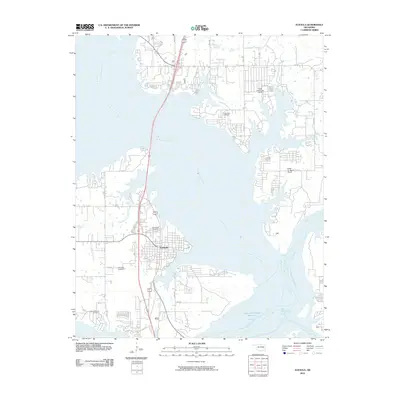 2010 Eufaula2010 Print · USGSThe Oklahoma lakefront at Eufaula is captured in this 2010 survey as the community wraps around the convergence of the North Canadian and Canadian Rivers. Genealogists and researchers can locate several area burial sites such as Fishertown Cemetery, Greenwood Cemetery, and Mcintosh Cemetery.
 - 2010 Map of Indianola, 2010 Print
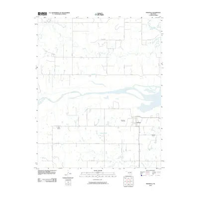 2010 Indianola2010 Print · USGSThis Pittsburg County landscape south of the Canadian River shows the rural character of eastern Oklahoma in the early twenty-first century. Genealogists and local historians can locate families in the Indianola Cemetery and the Choate Prairie Cemetery.
 - 2010 Map of Hanna, 2010 Print
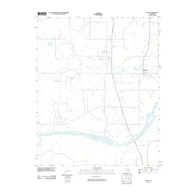 2010 Hanna2010 Print · USGSHanna and its surrounding rural landscapes are captured here at the start of the twenty-first century as the local economy balances agriculture and transit infrastructure. Genealogists and local historians can trace family locations near the Vernon Cemetery or follow the winding path of Mill Creek to its junction with the Canadian River.
 - 2010 Map of Lake McAlester, 2010 Print
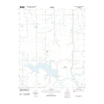 2010 Lake McAlester2010 Print · USGSOklahoma's lake country is captured here in the years following the turn of the millennium, centered on the waters of the Lake McAlester reservoir. Researchers can trace the layout of Coal Creek Addn or locate landmarks like Camp Hudgens and the Mills Flying M Ranch Airport.
 - 2010 Map of Scipio, 2010 Print
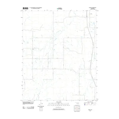 2010 Scipio2010 Print · USGSOklahoma's rural interior comes into focus during this 2010 survey of the Scipio area, where modern transit meets historic landmarks. Genealogists can locate family sites at Ulan Cemetery and Hughlow Cemetery near the path of Scipio Creek.
 - 2010 Map of Canadian, 2010 Print
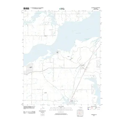 2010 Canadian2010 Print · USGSThe shorelines of Pittsburg County are captured here just after the turn of the millennium as residential communities grew around the lake. Researchers can locate several burial grounds including Masonic Cemetery and Red Oak Cemetery, or trace the old routes of Old Hwy 69 and Nale Rd.
 - 2010 Map of Haywood, 2010 Print
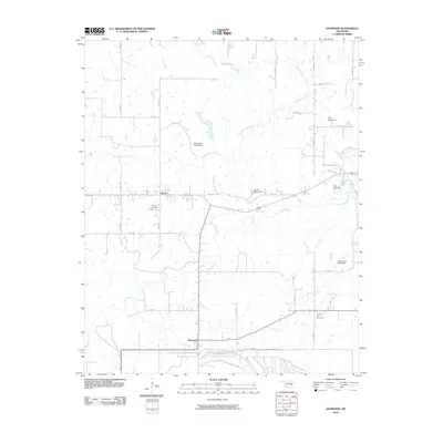 2010 Haywood2010 Print · USGSNear the turn of the millennium, this Oklahoma landscape shows a rural community anchored by the settlements of Arpelar and Haywood. Researchers can trace local lineage through Christian Hill Cemetery or explore the terrain around Pyle Mountain and Big Wildhorse Creek.
 - 2010 Map of Kiowa, 2010 Print
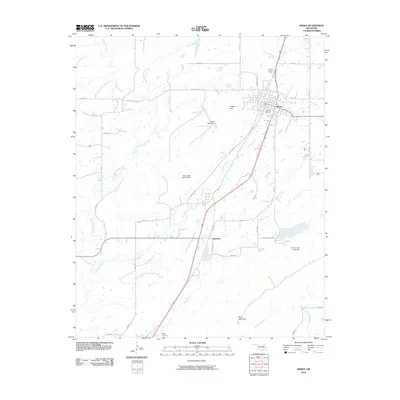 2010 Kiowa2010 Print · USGSThe town of Kiowa and the nearby settlement of Reynolds are documented here as they appeared at the start of the 2010s. Researchers can locate family sites near Oak Hill Cemetery, Wards Cemetery, and the slopes of Kiowa Hill.
 - 2010 Map of Hartshorne, 2010 Print
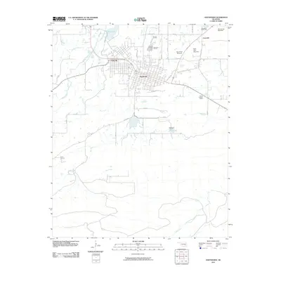 2010 Hartshorne2010 Print · USGSThe adjacent towns of Hartshorne and Haileyville are documented here during the early twenty-first century, showing the grid-plan development of these historic Oklahoma communities. Genealogists and local historians can locate several burial grounds including Holy Rosary Cemetery and Sulphur Cemetery, or trace the rugged geography of Belle Starr Mountain.
 - 2010 Map of Redden, 2010 Print
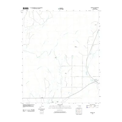 2010 Redden2010 Print · USGSSoutheastern Oklahoma’s rural landscape is captured here in the early twenty-first century, showing the intersection of modern transit and deep-rooted local history. Genealogists can locate Hewitt Cemetery and Baker Cemetery, while explorers can trace McGee Creek through McGee Valley.
 - 2010 Map of Adamson, 2010 Print
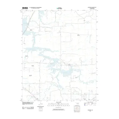 2010 Adamson2010 Print · USGSIn the hills of Pittsburg County during the early 2000s, the rising waters of the reservoir shaped the landscape around Adamson and Dow. Genealogists can trace family sites at Courts Cemetery and Cole Chapel Cemetery near the slopes of Buffalo Mountain.
 - 2010 Map of McAlester SW, 2010 Print
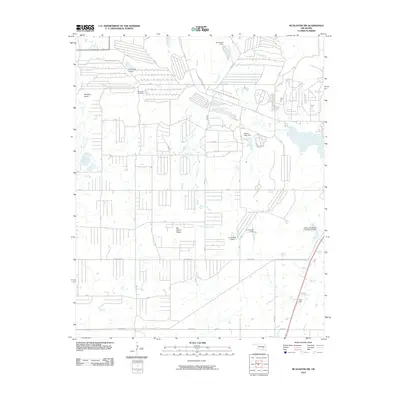 2010 McAlester SW2010 Print · USGSThe prairie highlands and creek bottoms southwest of McAlester are captured here in the early 2000s. Researchers can locate Memorial Cemetery and trace landmarks like Big Prairie Ridge, Coal Hill, and Whiskey Knob.
Showing maps 1-25 of 136
Top cities of Pittsburg County
- McAlester historical maps
- Krebs historical maps
- Hartshorne historical maps
- Quinton historical maps
- Haileyville historical maps
- Savanna historical maps
See more
Frequently asked questions
- What are the different types of historical maps available for Pittsburg County?
- What is the oldest map of Pittsburg County?
- Where can I purchase historical maps of Pittsburg County for my home or office?
- Where can I download high-res historical maps of Pittsburg County?
- Are there historical topographic maps available for Pittsburg County?
- Is there historical aerial imagery available for Pittsburg County?
- Where are historical maps of Pittsburg County sourced from?