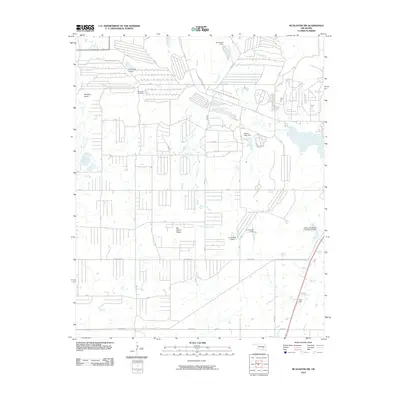
2010 Map of McAlester SW
USGS Topo · Published 2010About this map
Big Prairie Ridge defines the central topography of this Oklahoma landscape, situated southwest of McAlester. This terrain is marked by the headwaters of North Boggy Creek and several significant elevation points including Whiskey Knob to the northwest and Coal Hill to the southeast. The area is characterized by a dense network of rural roads such as Ashland Rd and C Tree Rd, which weave around a series of water management projects including the Rocket Lake Dam and several numbered dams on Deer Creek and Bull Creek.
Find a feature on this map
34 named features on this map. Tap any name to fly to it.
Don’t see what you’re looking for? This feature index may not catch every label — zoom into the map to look around manually.
Map Details
Editions of this 2010 McAlester SW Map
This is the sole edition of this map. No revisions or reprints were ever made.
Other maps of this area

1896 · Coalgate
USGS Topo · 1:125,000

1898 · McAlester
USGS Topo · 1:125,000

1899 · Coalgate
USGS Topo · 1:125,000

1900 · Coalgate
USGS Topo · 1:125,000

1909 · Mc Alester
USGS Topo · 1:125,000

1950 · Mcalester
USGS Topo · 1:250,000

1957 · Ardmore
USGS Topo · 1:250,000

1962 · McAlester
USGS Topo · 1:250,000

1963 · Ardmore
USGS Topo · 1:250,000

1965 · McAlester
USGS Topo · 1:250,000