2020s Maps of Pittsburg County, Oklahoma
Explore 35 historic maps of Pittsburg County from the 2020s. These maps offer a rare glimpse into what life looked like during the 2020s — showing old roads, neighborhoods, homes, and landmarks that have changed or disappeared over time.
Whether you're researching your family's past, planning a metal detecting trip, or studying how Pittsburg County's landscape evolved across the 2020s, these high-resolution maps are a powerful tool for exploring the history of this region.
- Focus on a specific era: All maps on this page are from the 2020s, giving you a focused view of this time period.
- See what’s changed: Compare century-old streets, trails, and buildings to today's modern landscape using overlays and satellite layers.
- Research with precision: Use these maps for genealogy, historical research, land use analysis, or educational projects.
- View, download, or print: Maps are fully viewable online in high resolution, and can be downloaded or printed for your own records.
Start exploring Pittsburg County's history through authentic maps from the 2020s. This is your window into the past.
Pittsburg County, OK maps
(35)- 2022 Map of Hartshorne SW, 2022 Print
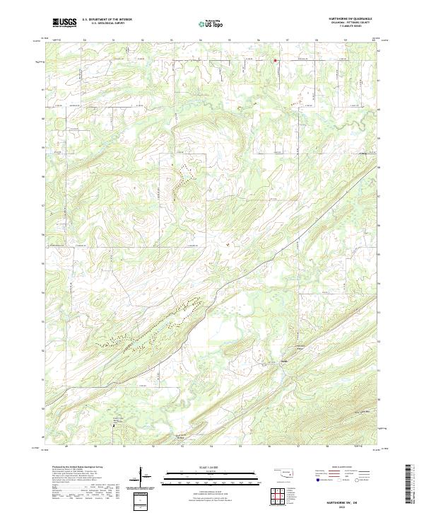 2022 Hartshorne SW2022 Print · USGSIn the Oklahoma hills south of Hartshorne during the early twenty-first century, this landscape is defined by its ridge lines and rural creek valleys. Genealogists can locate the Brushy Creek Baptist Church Cem or trace the routes through Arch and the Lime Arch Bridge.
 - 2022 Map of Daisy, 2022 Print
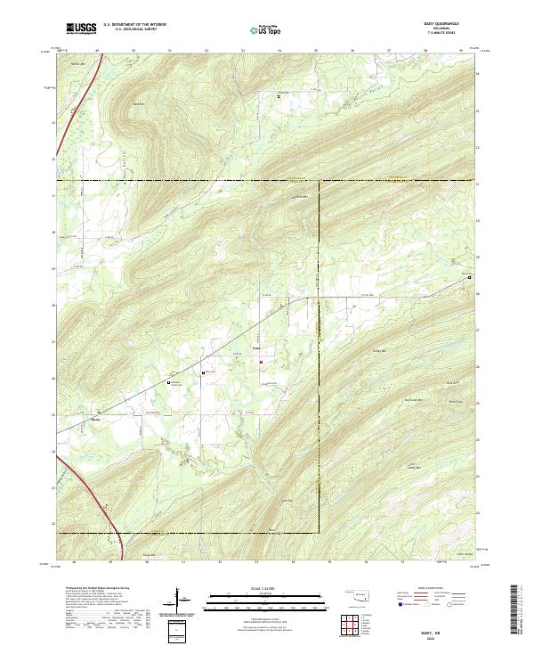 2022 Daisy2022 Print · USGSSoutheastern Oklahoma’s ridge-and-valley landscape is documented here in the early twenty-first century as the Kiamichi foothills remained sparsely settled. Genealogists and hikers can trace remote landmarks like Mountain Home Cem, Rock Town, and the rural community of Daisy.
 - 2022 Map of Limestone Gap, 2022 Print
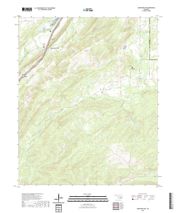 2022 Limestone Gap2022 Print · USGSThe Atoka and Pittsburg County line remains a landscape of ridge-and-valley terrain in the early twenty-first century. Genealogists and historians can trace family locations near the Limestone Gap Cemetery or explore the rural settlements of Wesley and Chockie.
 - 2022 Map of Adel, 2022 Print
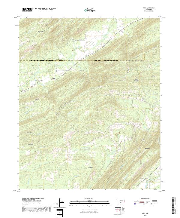 2022 Adel2022 Print · USGSThe mountains of Pushmataha County are captured here in the early 2020s, showing the high ridges and watercourses around Adel. Researchers can trace old routes like Rock Town Rd and landmarks such as Johns Valley and Wild Horse Gap.
 - 2022 Map of McAlester SW, 2022 Print
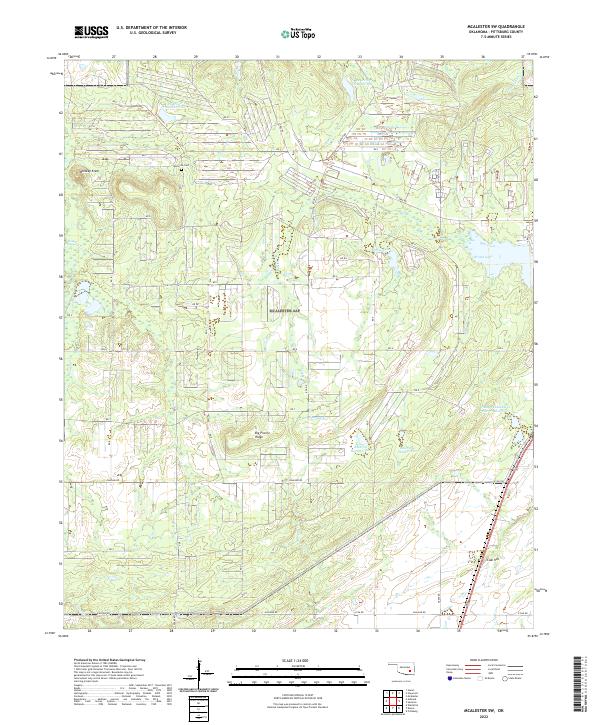 2022 McAlester SW2022 Print · USGSSoutheast Oklahoma's ridge-and-creek landscape is documented here in the early twenty-first century, showing a rural area defined by water management. You can trace family landmarks and local terrain from Whiskey Knob to the Memorial Cem and Rocket Lake.
 - 2022 Map of Redden, 2022 Print
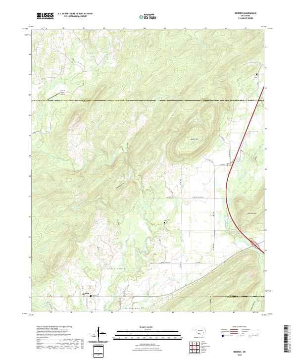 2022 Redden2022 Print · USGSAtoka County's northern hills are documented here in the early twenty-first century, showing the rural settlement of Redden and the surrounding mountain ridges. Local history researchers can locate several family-named landmarks and burial sites, including Redden Cem, Baker Cem, and Hewitt Mtn.
 - 2022 Map of Counts, 2022 Print
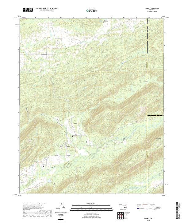 2022 Counts2022 Print · USGSSoutheast Oklahoma’s rugged ridge-and-valley landscape is documented here in the early twenty-first century. Genealogists can trace family histories through numerous remote sites like Sardis Indian Baptist Church Cem, Counts, and Smith Cem.
 - 2022 Map of Kiowa, 2022 Print
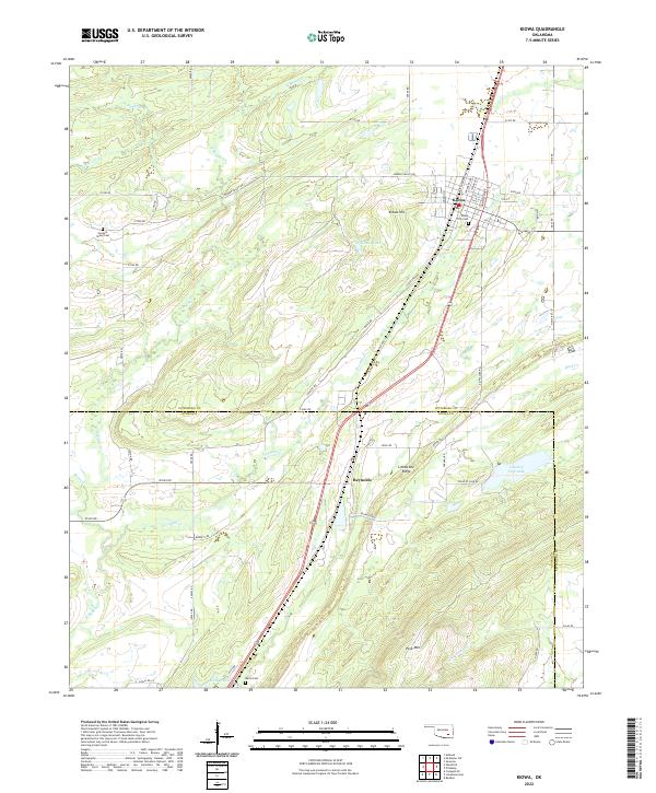 2022 Kiowa2022 Print · USGSKiowa and the surrounding Oklahoma landscape are captured here in the early twenty-first century, showing the intersection of town life and rugged terrain. Researchers can locate family sites at Kiowa City Cem or Harpers Valley Cem, and trace the winding paths of N Boggy Cr and Fivemile Cr.
 - 2022 Map of Haywood, 2022 Print
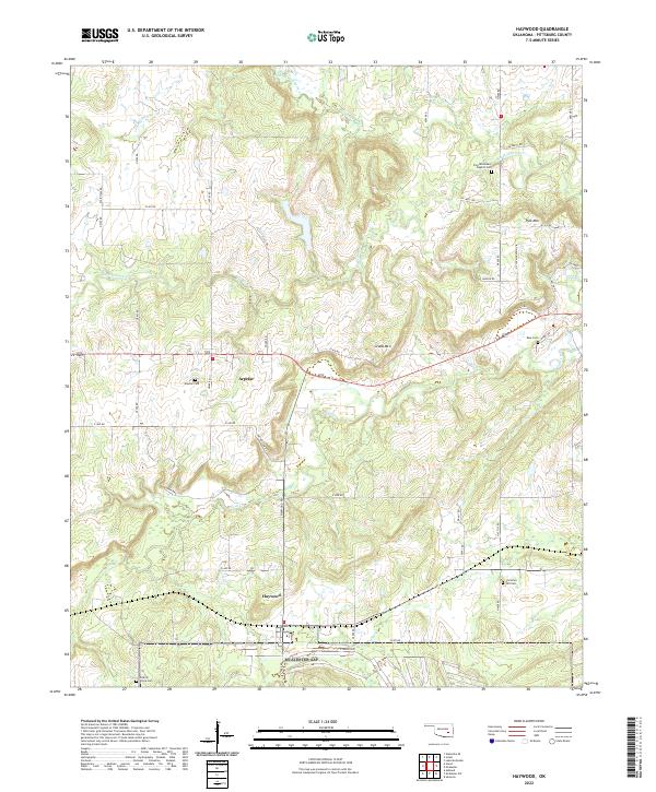 2022 Haywood2022 Print · USGSThe small communities of Arpelar and Haywood are documented here in recent years, showing the enduring rural character of western Pittsburg County. Genealogists and local historians can locate several important burial sites, including Arpelar Cem and Zion Missionary Baptist Cem, while tracing the local drainages of Coal Cr.
 - 2022 Map of Hartshorne, 2022 Print
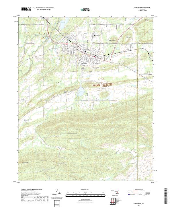 2022 Hartshorne2022 Print · USGSHartshorne and Haileyville sit at the base of the Limestone Ridge in the early 2020s, showing a landscape defined by industrial history and mountain terrain. Genealogists can trace family records at Elm Park Cem or Holy Rosary Cem and locate homes near Belle Starr Mtn.
 - 2022 Map of Quinton South, 2022 Print
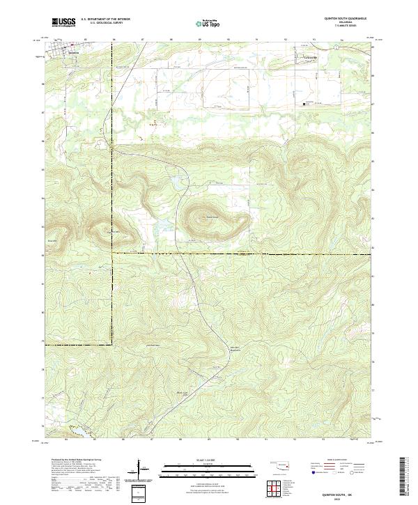 2022 Quinton South2022 Print · USGSThe borderlands of Haskell, Latimer, and Pittsburg counties come alive in this survey of the northern Sans Bois Mountains. Researchers can pinpoint Lewisville Cem, trace the waters of Fourche Maline, and locate summits like Tucker Knob.
 - 2022 Map of Featherston, 2022 Print
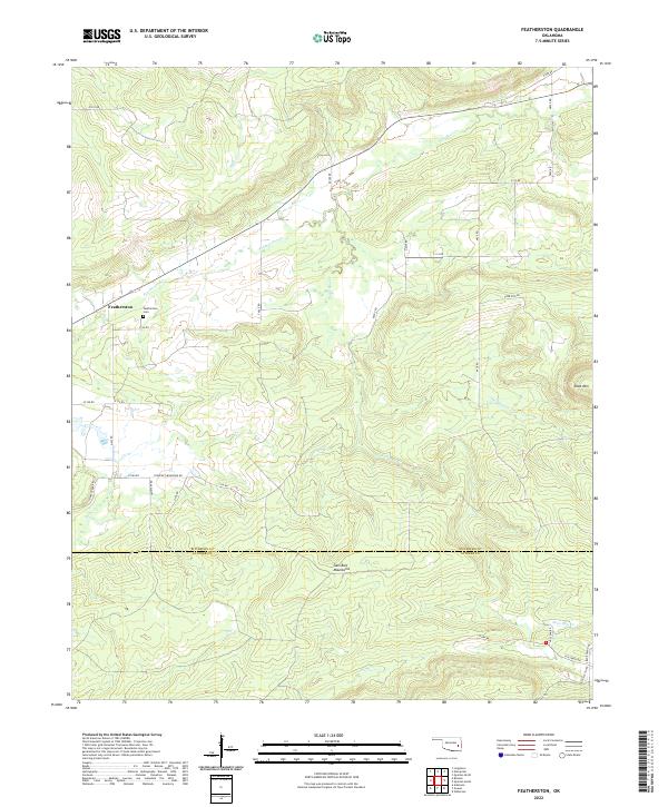 2022 Featherston2022 Print · USGSIn the valley north of the Sans Bois Mountains, this survey captures the rural landscape at the intersection of Pittsburg and Latimer Counties. Researchers can trace the layout of Featherston and locate local landmarks like the Featherston Cem and Shoe Mtn.
 - 2022 Map of Indianola, 2022 Print
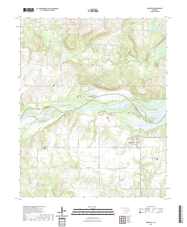 2022 Indianola2022 Print · USGSIndianola and the surrounding prairie lands are captured here in the early twenty-first century as they border the southern reaches of the Canadian River. Researchers can trace local lineage through Indianola Cem, Bearhead Cem, and Choate Prairie Cem.
 - 2022 Map of Quinton North, 2022 Print
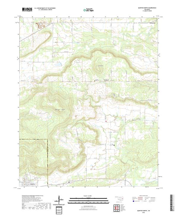 2022 Quinton North2022 Print · USGSHaskell and Pittsburg counties meet in this rugged corner of eastern Oklahoma during the early twenty-first century. Genealogists and local historians can trace burial sites like Mountain Home Cem and Quinton Cem or follow the paths of Longtown Cr and Elm Cr.
 - 2022 Map of Ashland, 2022 Print
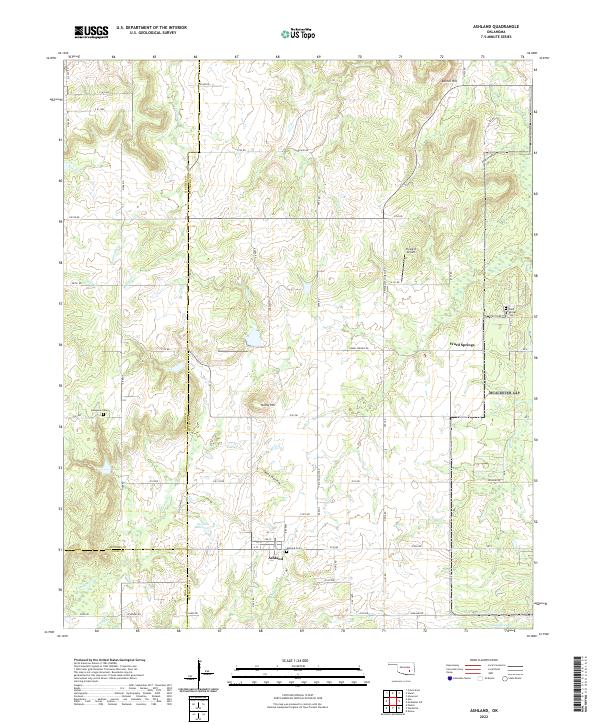 2022 Ashland2022 Print · USGSOklahoma's rural Pittsburg County landscape is shown here in its modern configuration, centered on the community of Ashland. Genealogists can locate family sites at the Ashland Cem and Ward Springs Cem while tracing the waters of Hominy Cr.
 - 2022 Map of Savanna, 2022 Print
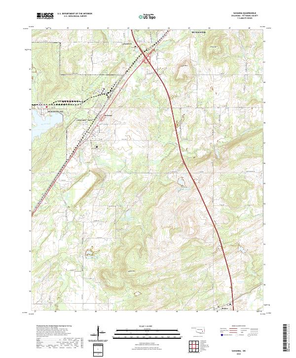 2022 Savanna2022 Print · USGSPittsburg County at the start of the 2020s reveals a landscape of ridge-top summits and vital water management sites. Researchers can locate family heritage sites like Savanna Cem and Blanco Cem or trace the old routes of Old Hwy 69.
 - 2022 Map of Ti, 2022 Print
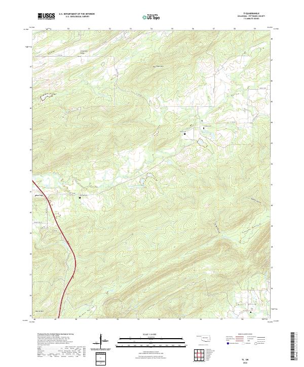 2022 Ti2022 Print · USGSSoutheast Oklahoma's rugged ridge-and-valley landscape is documented here in the early twenty-first century. Researchers can trace rural lineages through the Ti Valley Cemetery and Clay Cemetery or explore landmarks like New State Mountain.
 - 2022 Map of McAlester, 2022 Print
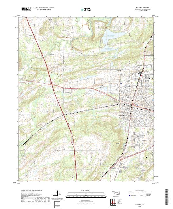 2022 McAlester2022 Print · USGSMcAlester and its northern reaches are captured in this contemporary survey of Pittsburg County. Genealogists and historians can trace the town's expansion toward Frink and locate several cemeteries, including Tannehill Cem and Haile Cem.
 - 2022 Map of Carson, 2022 Print
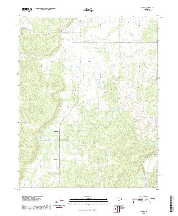 2022 Carson2022 Print · USGSOklahoma's rural interior near the Canadian River comes into focus in this recent survey. Local historians and genealogists can pinpoint the small community of Carson, its namesake Carson Cem, and the winding paths of Middle Creek and Turkey Cr.
 - 2022 Map of Wetumka SE, 2022 Print
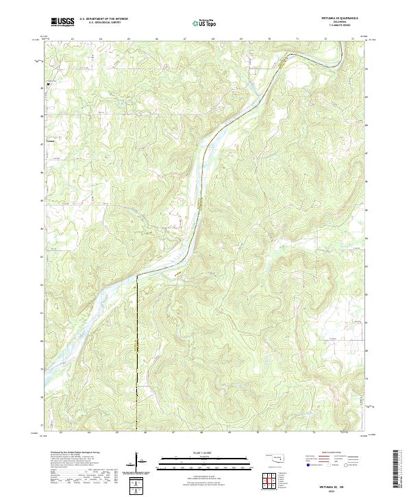 2022 Wetumka SE2022 Print · USGSThe winding Canadian River marks the county line between Hughes and Pittsburg in the 2020s. Genealogists can locate the Lamar Cem and the settlement of Lamar alongside tributary streams like Sandy Cr and Gobbler Creek.
 - 2022 Map of Pittsburg, 2022 Print
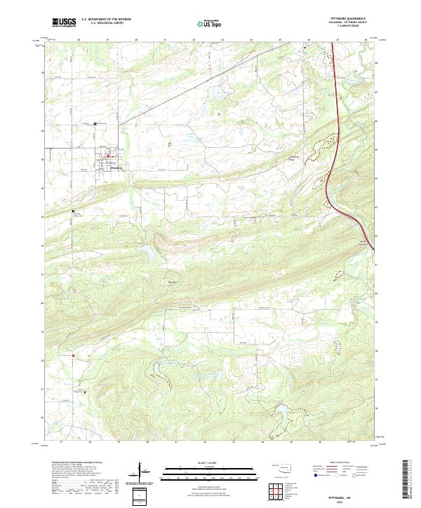 2022 Pittsburg2022 Print · USGSOklahoma's coal-country landscape near the town of Pittsburg is shown here in modern detail. Researchers can locate family burial sites at Calvary Cem or Union Chapel Cem and trace the terrain from Limestone Ridge to Pounds Valley.
 - 2022 Map of Krebs, 2022 Print
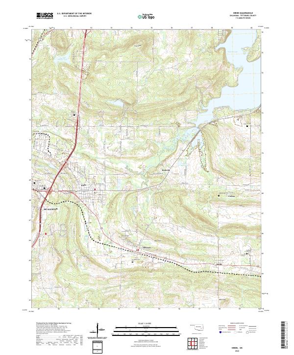 2022 Krebs2022 Print · USGSSoutheast of McAlester, these coal-patch communities and family cemeteries provide a detailed look at Pittsburg County in the early twenty-first century. Genealogists can trace local roots through Oak Hill Cem, Alderson Cem, and the quiet settlements of Richville and Bache.
 - 2022 Map of Stuart, 2022 Print
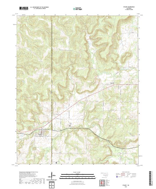 2022 Stuart2022 Print · USGSThe rural landscapes of Hughes and Pittsburg Counties are mapped here in the modern era, centered on the community of Stuart. Researchers can trace old family burial grounds at White Chimney Cemetery or explore the drainage of Big Wildhorse Creek.
 - 2022 Map of Adamson, 2022 Print
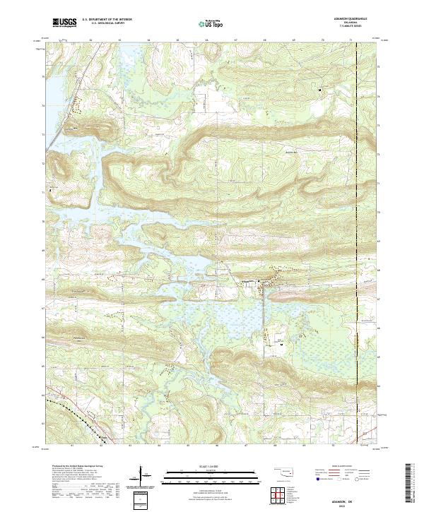 2022 Adamson2022 Print · USGSEastern Oklahoma's ridge-and-valley landscape is documented here during the early twenty-first century, centered on the historic communities of Adamson and Dow. Genealogists and historians can trace family locations through several burial grounds like Adamson Cem and landmarks such as Pocahontas Mtn.
 - 2022 Map of Wardville, 2022 Print
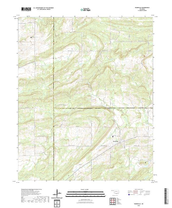 2022 Wardville2022 Print · USGSThis rural portion of Atoka and Coal counties appears in the early twenty-first century as a land of creek-side settlements and family cemeteries. Trace local history through landmarks like Wardville Cem and the geographic character of Salt Prairie.
Showing maps 1-25 of 35
Top cities of Pittsburg County
- McAlester historical maps
- Krebs historical maps
- Hartshorne historical maps
- Quinton historical maps
- Haileyville historical maps
- Savanna historical maps
See more
Frequently asked questions
- What are the different types of historical maps available for Pittsburg County?
- What is the oldest map of Pittsburg County?
- Where can I purchase historical maps of Pittsburg County for my home or office?
- Where can I download high-res historical maps of Pittsburg County?
- Are there historical topographic maps available for Pittsburg County?
- Is there historical aerial imagery available for Pittsburg County?
- Where are historical maps of Pittsburg County sourced from?