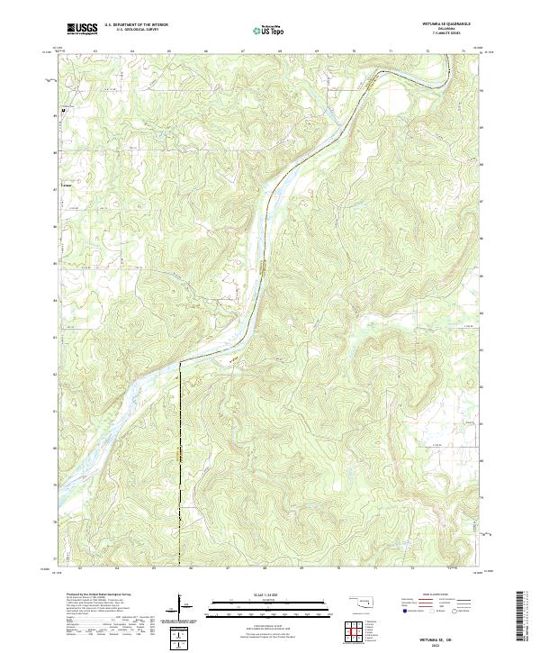
2022 Map of Wetumka SE
USGS Topo · Published 2022About this map
The Canadian River carves a winding path through this portion of the Oklahoma interior, defining the rugged boundary between Hughes and Pittsburg counties. This landscape is characterized by its complex drainage network, where tributaries such as Gobbler Creek and Sandy Cr feed into the main river channel. The small community of Lamar serves as the primary settlement hub in the northwest corner, providing a focal point for the surrounding rural homesteads and agricultural operations connected by a grid of section-line roads.
Find a feature on this map
37 named features on this map. Tap any name to fly to it.
Don’t see what you’re looking for? This feature index may not catch every label — zoom into the map to look around manually.
Map Details
Editions of this 2022 Wetumka SE Map
This is the sole edition of this map. No revisions or reprints were ever made.
Other maps of this area

1896 · Coalgate
USGS Topo · 1:125,000

1898 · McAlester
USGS Topo · 1:125,000

1899 · Coalgate
USGS Topo · 1:125,000

1900 · Canadian
USGS Topo · 1:125,000

1900 · Wewoka
USGS Topo · 1:125,000

1900 · Coalgate
USGS Topo · 1:125,000

1909 · Mc Alester
USGS Topo · 1:125,000

1946 · Fort Smith
USGS Topo · 1:250,000

1950 · Mcalester
USGS Topo · 1:250,000

1954 · Oklahoma City
USGS Topo · 1:250,000