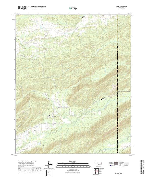
2022 Map of Counts
USGS Topo · Published 2022About this map
Ti Valley and the surrounding highlands of Southeast Oklahoma are defined by a network of rural homesteads and family burial grounds in this modern topographic study. The landscape is structured by several distinct hollows and valleys, including Hogeye Hollow and Burris Valley, where the small communities of Counts and Weathers are situated. These settlements remain anchored by generational landmarks such as the Sardis Indian Baptist Church Cem and several smaller family plots like Smith Cem and Baker Cem. The terrain rises sharply toward the southeast at Jackfork Mtn, while numerous drainage systems including North Jackfork Creek and Cedar Cr carve through the ridges. This map captures the enduring rural character of the area, showing how modern roads like Ti Valley Rd and Burris Valley Rd still follow the natural contours of the historic landscape.
Find a feature on this map
42 named features on this map. Tap any name to fly to it.
Don’t see what you’re looking for? This feature index may not catch every label — zoom into the map to look around manually.
Map Details
Editions of this 2022 Counts Map
This is the sole edition of this map. No revisions or reprints were ever made.
Other maps of this area

1898 · McAlester
USGS Topo · 1:125,000

1901 · Tuskahoma
USGS Topo · 1:125,000

1908 · Tuskahoma
USGS Topo · 1:125,000

1909 · Mc Alester
USGS Topo · 1:125,000

1909 · Tuskahoma
USGS Topo · 1:125,000

1950 · Mcalester
USGS Topo · 1:250,000

1962 · McAlester
USGS Topo · 1:250,000

1965 · McAlester
USGS Topo · 1:250,000

1967 · Hartshorne SW
USGS Topo · 1:24,000

1967 · Hartshorne
USGS Topo · 1:24,000